
Hiking Around Las Vegas; Avi Kwa Ame National Monument

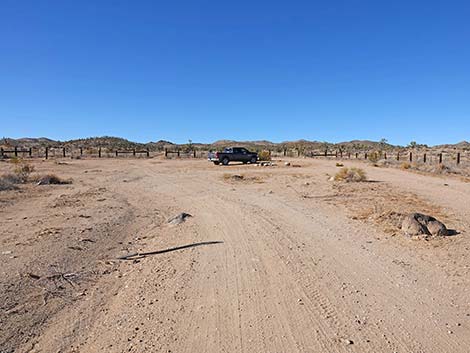 Grasslands Trailhead parking and campsite (view NW) |
Overview Grasslands Trailhead and campsite is located in the southwest portion of Avi Kwa Ami National Monument, about 1-1/4 hours south of Las Vegas. From town, drive south on Interstate 11 (formerly Highway 95) toward Boulder City. Past Railroad Pass, exit Interstate 11 onto Highway 95 southbound towards Searchlight. In downtown Searchlight, turn right onto Highway 164 and drive west towards Nipton for 7.0 miles to a signed intersection with Walking Box Ranch Road. Turn left onto Walking Box Ranch Road and drive south. In 0.8 miles, the road passes the entrance to the historical Walking Box Ranch, on the left. Continue south on Walking Box Ranch Road for a total of 7.8 miles to a large corral on the right. Turn into the corral and drive northwest about 100 yards to the camping and parking area. Park here; this is the trailhead. This trailhead serves as the starting point for the Grasslands Trail. Link to trailhead map. |
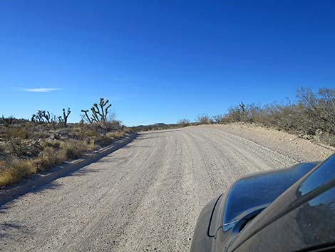 Walking Box Ranch Road curves over a low rise (view SW) |
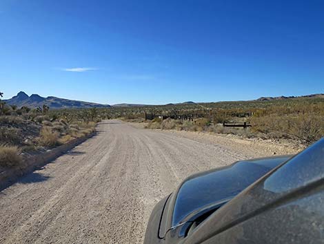 WB Ranch Road approaching Grasslands Trailhead Corral (view S) |
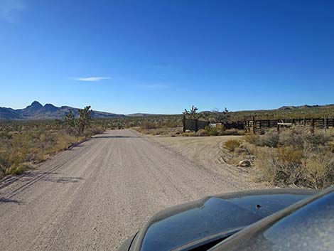 WB Ranch Road at Grasslands Trailhead Corral (view S) |
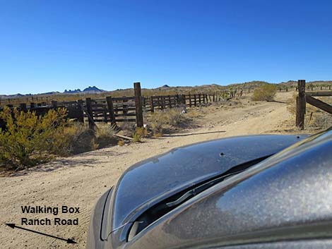 WB Ranch Road turning into Grasslands Trailhead Corral (view SW) |
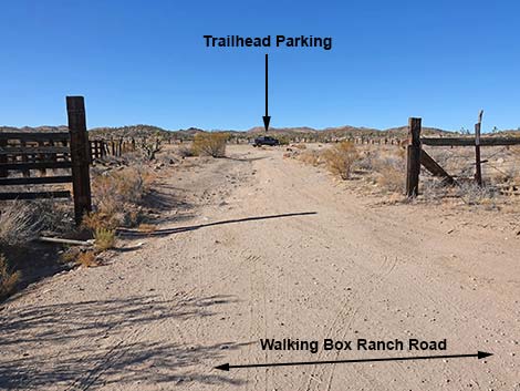 Grasslands Trailhead Corral (view NW from WB Ranch Road) |
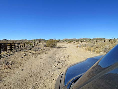 Entering Grasslands Trailhead Corral (view NW) |
 Grasslands Trailhead (view NW) |
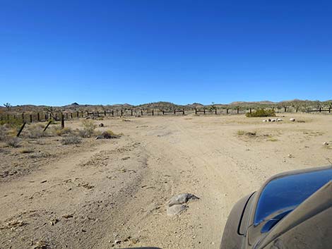 Grasslands Trailhead (view W) |
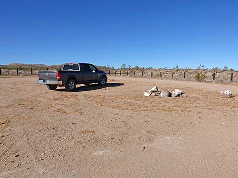 Grasslands Trailhead campsite (view NW) |
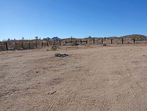 Another Grasslands Trailhead campsite (view W) |
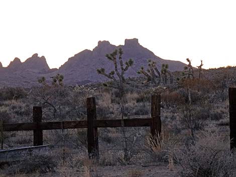 |
 |
Starting on Grasslands Trail
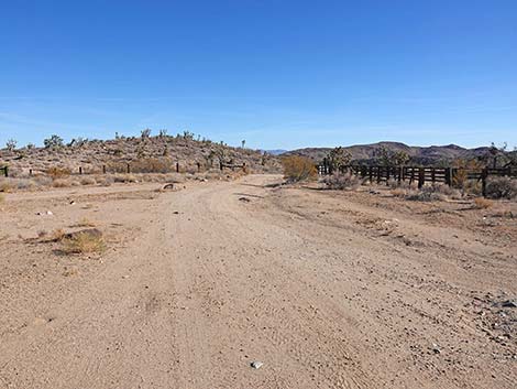 Departing the camping area (view SE) |
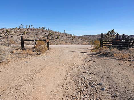 Exiting the corral back towards Walking Box Ranch Road (view SE) |
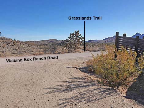 Grasslands Trail crosses Walking Box Ranch Road (view SE) |
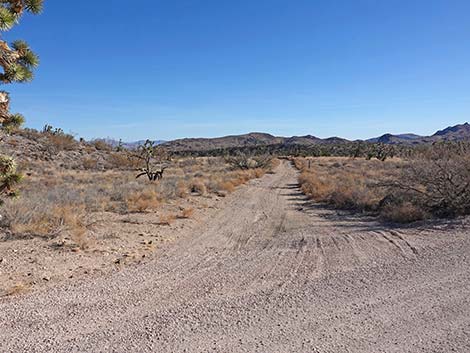 Start of Grasslands Trail (view SE from Walking Box Ranch Road) |
Table 1. Highway Coordinates and Distances based on GPS Data (NAD27). Download Highway GPS Waypoints (gpx) file.
| Wpt. | Location | UTM Easting | UTM Northing | Elevation (ft) | Distance from Highway 164 (miles) |
|---|---|---|---|---|---|
| 1994 | WBR Road at Grasslands Corral | 35.397571 | 115.08461 | 4,334 | 7.72 |
Note: All distances, elevations, and other facts are approximate.
![]() ; Last updated 250127
; Last updated 250127
| Walking Box Ranch | Copyright, Conditions, Disclaimer | Home |