
Hiking Around Las Vegas, Basin and Range National Monument
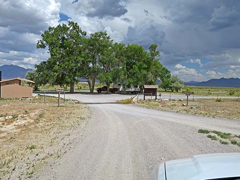 Entering Dave Deacon Campground (view E) |
Overview Just north of Basin and Range National Monument, the Wayne E. Kirch Nevada State Wildlife Management Area (WMA) hosts a free campground that is intended for fishermen and duck hunters who use the WMA, but it is open to everyone. Dave Deacon Campground, also called Hot Creek Campground, is free. The campground has gravel campsites big enough for large RVs, drinking water, picnic tables, fire rings, a few shade trees, three vault toilets, and a dump station. The camping limit is 8 days. No reservations and no trash cans -- Pack it in - Pack it out. Except for the tall Siberian Elm, scattered Singleleaf Ash, and few Russian Olive trees, the area is flat and open, providing grand views across the middle-Nevada landscape to mountain ranges in the distance. Beyond the campground, Sunnyside Road continues south into Garden Valley and the north end of Basin and Range National Monument. Link to map. |
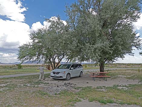 Dave Deacon Campsite (view SE) |
Getting to Camp Dave Deacon Campground is located near Lund, Nevada, on the northeast edge of Basin and Range National Monument, about 2-3/4 hours (182 miles) northeast of Las Vegas. From Las Vegas, drive north on Interstate-15 for 21 miles to Highway 93. Drive north on Highway 93 past the towns of Alamo and Ash Springs to Highway 318. Turn left onto Highway 318 and drive north for 67 miles to Dave Deacon Road (also called Sunnyside Road) on the left (watch for Sunnyside and Kirch WMA signs). Turn left onto Dave Deacon Road and drive west. At 0.2 miles out, stay right at a fork. At 2.4 miles out, stay right at a signed intersection towards Dave Deacon Campground (sign says 5 more miles; left is Wildlife Road). At 7.0 miles out, stay left towards the campground which is visible ahead in the near distance. At 7.3 miles out, turn left into the campground. |
Access Roads
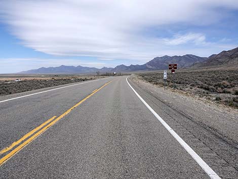 Approaching Kirch Wildlife Area north access road (view N) |
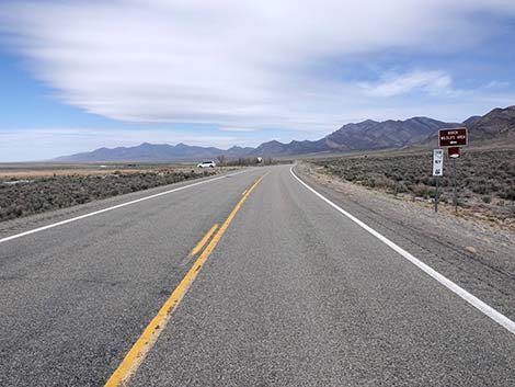 Kirch Wildlife Area north access road sign (mile post 18; view N) |
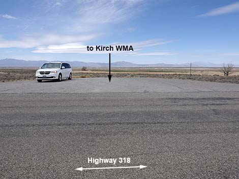 Kirch Wildlife Area north access road (view W from Hwy 318) |
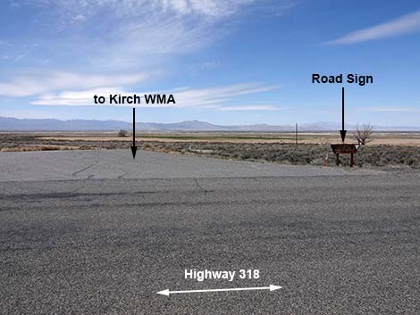 Kirch Wildlife Area north access road (view W from Hwy 318) |
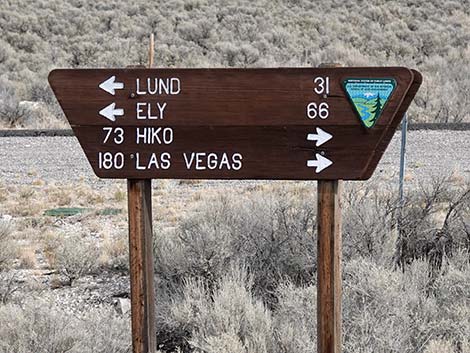 Kirch Wildlife Area north access road sign (view W) |
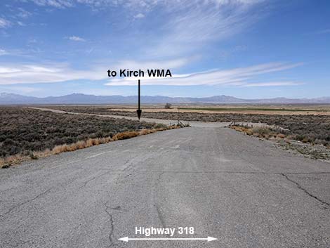 Start of Kirch Wildlife Area north access road (view W) |
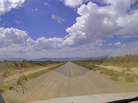 Well graded Dave Deacon (aka Sunnyside) Road (view W) |
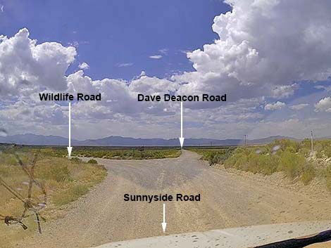 Dave Deacon (aka Sunnyside) Road splits; stay right (view W) |
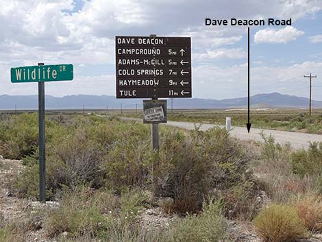 Signs at the intersection (view NW) |
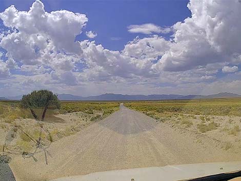 Dave Deacon (aka Sunnyside) Road continues (view W) |
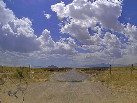 Crossing a cattle guard; road stays straight (view SW) |
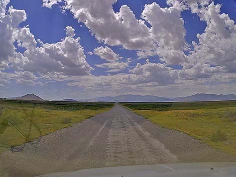 Approaching Dacey Reservoir, a marsh at this point (view SW) |
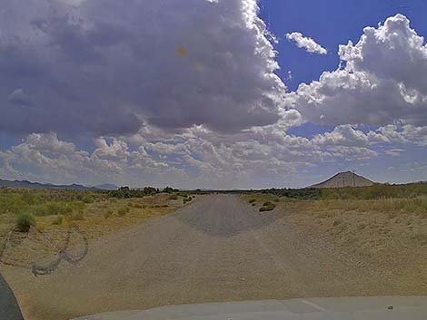 Dave Deacon Rd bends south; trees are in the campground (view S) |
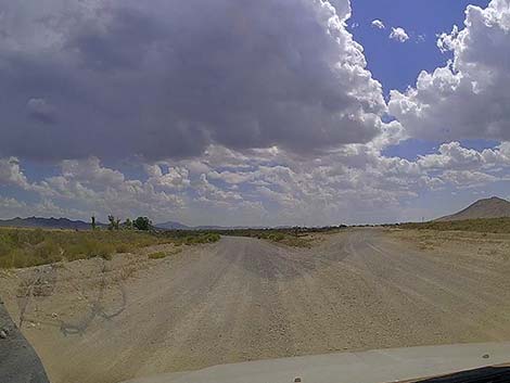 Dave Deacon Road forks; stay left (view S) |
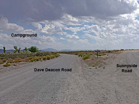 Dave Deacon Road left; Sunnyside Road right (view S) |
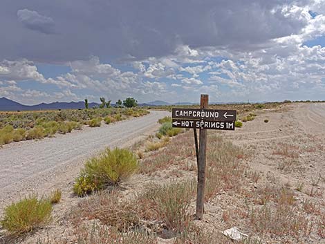 Sign at the fork: stay left for campground and hot springs (view S) |
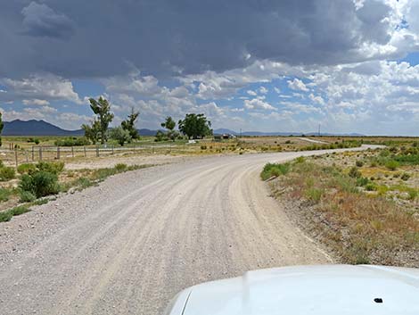 Approaching the campground (view S) |
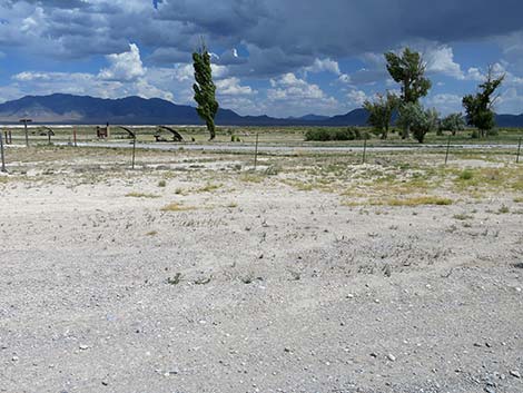 Passing the north end of the campground (view E) |
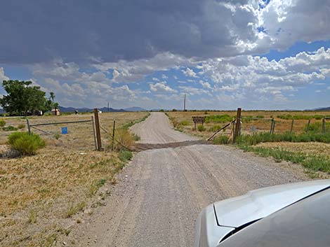 Dave Deacon Road crosses another cattle guard (view SW) |
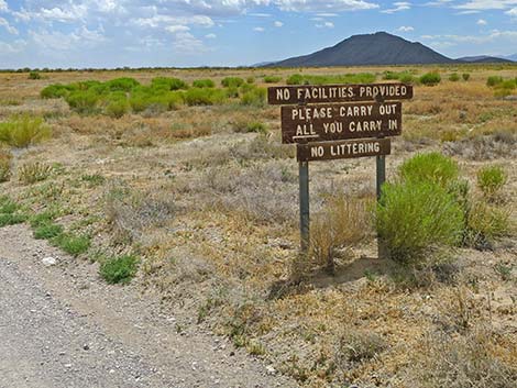 Sign: Pack it in; Pack it out |
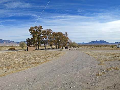 Dave Deacon Campground Acess Road (view SE) |
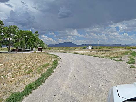 Dave Deacon Rd approaching Dave Deacon Campground (view SE) |
 Entrance to Dave Deacon Campground (view E) |
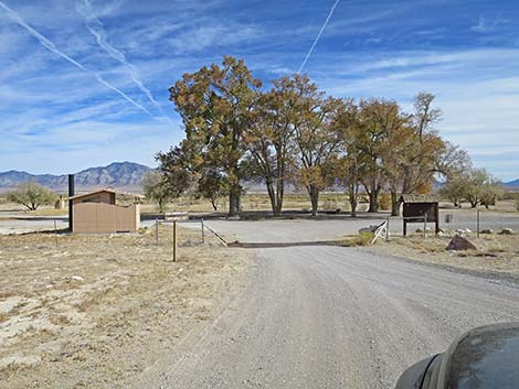 Entering to Dave Deacon Campground (view E) |
Dave Deacon Campground
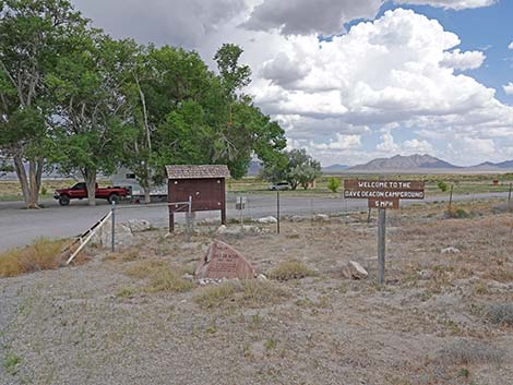 Entrance to Dave Deacon Campground (view E) |
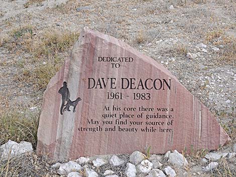 Dave Deacon monument; I don't know who he was (view E) |
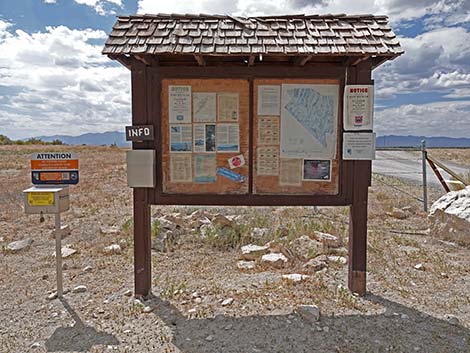 Campground information sign (view W) |
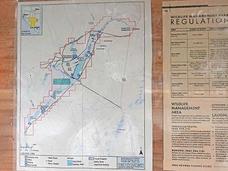 Area map on campground information sign (view W) |
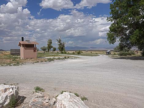 Dave Deacon Campground (view N from entrance) |
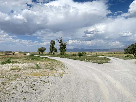 Dave Deacon Campground (view N from near entrance) |
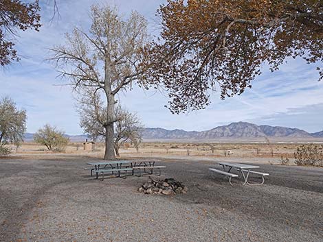 Dave Deacon Campground (view NE) |
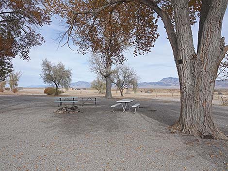 Dave Deacon Campground (view N) |
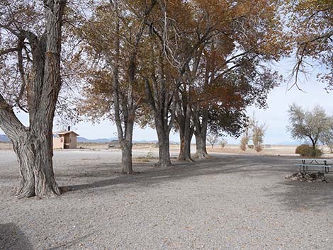 Dave Deacon Campground (view N) |
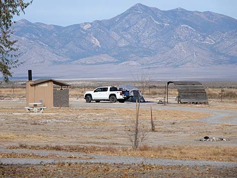 Dave Deacon Campground (view NE) |
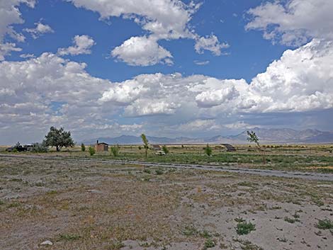 Dave Deacon Campground (view NE) |
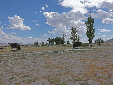 Dave Deacon Campground (view SE) |
 A Dave Deacon Campsite (view SE) |
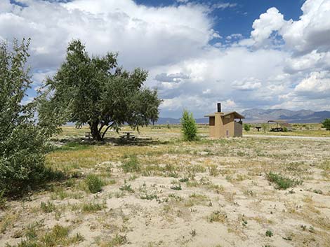 A Dave Deacon Campsite and vault toilet (view NE) |
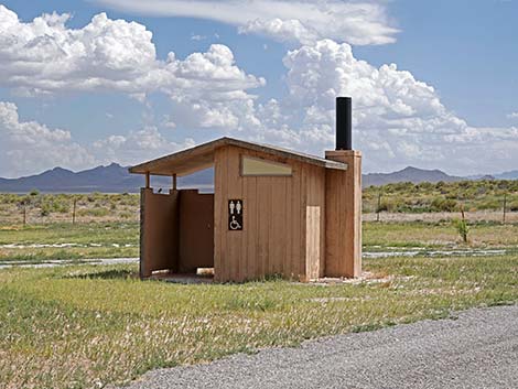 One of three Dave Deacon vault toilets (view SE) |
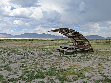 A Dave Deacon Campsite (view SE) |
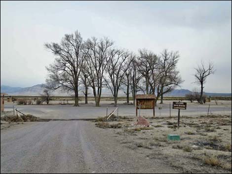 Entrance to Dave Deacon Campground during winter (view E) Entrance to Dave Deacon Campground during winter (view E) |
 More to come ... |
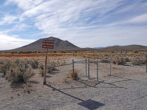
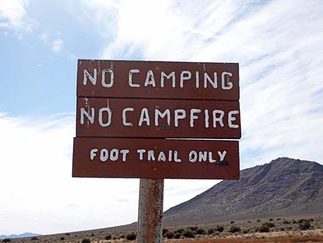
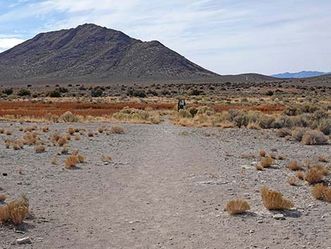
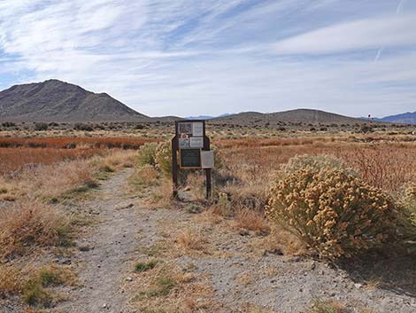
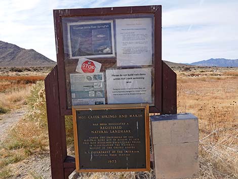
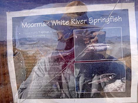
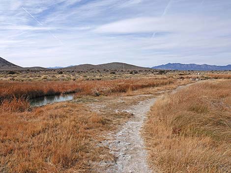
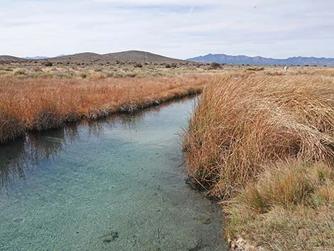
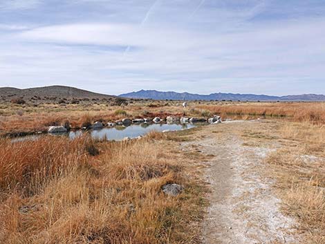
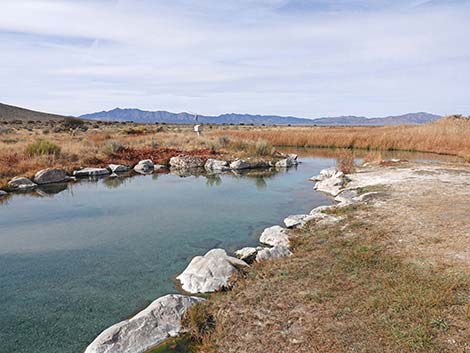
Hot Creek is located about 1 mile southwest of Deacon Campground. From the campground entrance, continue south on the main road to the next intersection, which is signed. Turn right towards Hot Creek and drive about 1 mile to the end. Park here, then walk through a gate to the short trail to the hot springs. While soaking in the warm water, be sure to notice the rare Moorman White River Springfish (Crenichthys baileyi thermophilus).
 |
 |
 |
 |
 |
 |
 |
 |
 |
 |
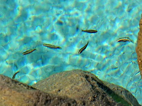 Moorman White River Springfish (Crenichthys baileyi thermophilus) |
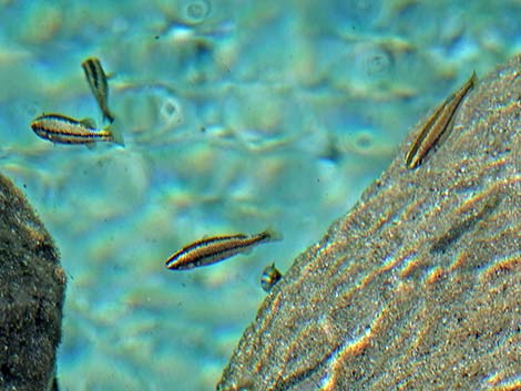 Moorman White River Springfish (Crenichthys baileyi thermophilus) |
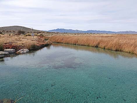 |
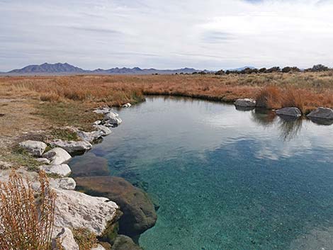 |
Darcy Reservoir (south end) is located about 1 mile southeast of Deacon Campground. From the campground entrance, continue south on the main road to the next intersection, which is signed. Turn left and drive about 1 mile to the boat ramp on the southwest corner of the reservoir. The road continues across the dam that holds back the reservoir. The reservoir is good for fishing and watching birds. If birding, be sure to pay attention to the marsh south of the road.
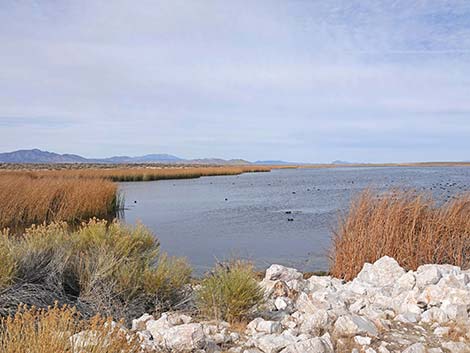 Darcy Reservoir (view N from SW corner) |
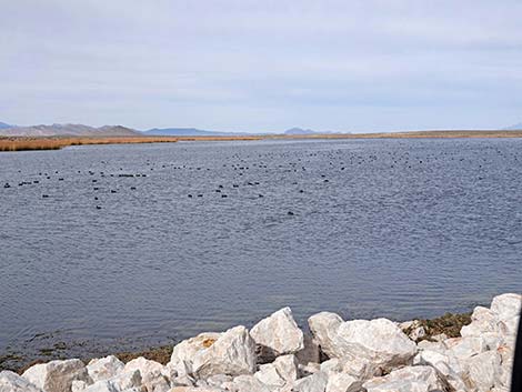 Darcy Reservoir (view N from center of dam) |
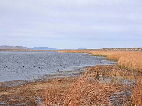 Darcy Reservoir (view N from SE corner) |
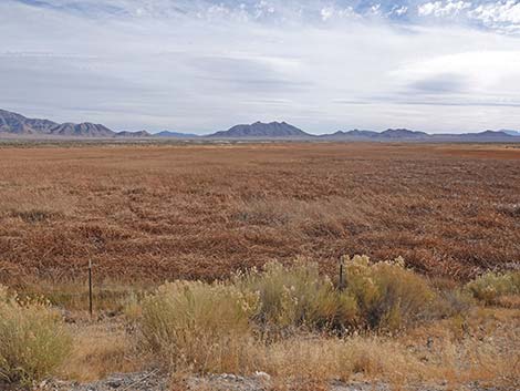 Darcy Marsh (view S from center of dam) |
Table 1. Highway Coordinates based on GPS Data (NAD27; UTM Zone 11S). Download Highway GPS Waypoints (gpx) file.
| Site | Location | UTM Easting | UTM Northing | Latitude (N) | Longitude (W) | Elevation (ft) |
|---|---|---|---|---|---|---|
| Kirch | Dave Deacon Campground | 662998 | 4250335 | 38.38825 | 115.13372 | 5,223 |
Happy Hiking! All distances, elevations, and other facts are approximate.
![]() ; Last updated 241123
; Last updated 241123
| Campsites | Hiking Around Las Vegas | Glossary | Copyright, Conditions, Disclaimer | Home |