
Hiking Around Las Vegas, Gold Butte National Monument

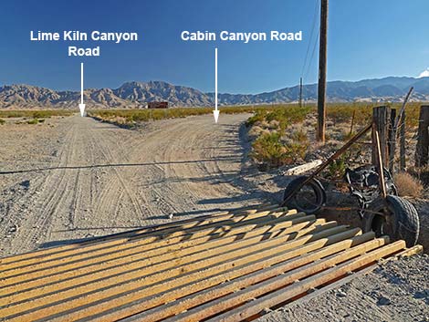 Lime Kiln Canyon Road at Cabin Canyon Road (view SE) |
Overview Cabin Canyon Road is a graded dirt road off Lime Canyon Road southeast of Mesquite. The road runs across the open bajada and into Cabin Canyon on the north side of the Virgin Ridge, providing access to the high-elevation and cool northeast corner of Gold Butte National Monument. This road provides access to the old White Rock Campground, lots of primitive campsites, hikes, hunting, horseback riding, twisted geology, miles of dirt roads, a couple of tiny springs, and grand views north across Mesquite and out towards the Mormon Mountains. The lower and middle parts of the road are suitable for 2WD-HC vehicles (better with 4WD), but the upper parts, and continuing over Cabin Canyon Pass into Nickel Canyon is best suited for side-by-side and smaller vehicles. Link to map. |
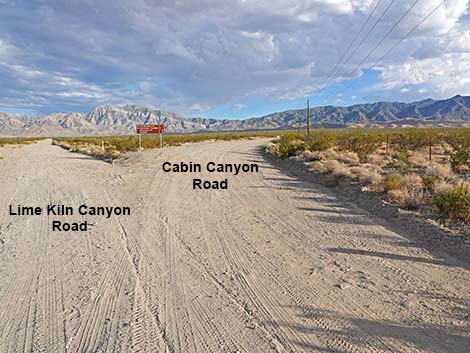 Cabin Canyon Road stays right along powerlines (view SE) |
Watch Out Other than the standard warnings about driving in the desert, ... this road is pretty safe lower down (out to about the campground), but parts in the upper sections are narrow and rocky enough that 4WD is useful, but it should be safe. Be careful on blind corners. This is a wild and remote area without services of any kind (no restrooms, no water, no gas, no food). Bring what you need to survive. Be prepared and be self-reliant. Someone will find you eventually if you stay on a main road, but be prepared to survive alone for a day or two. Cell phones work along lower parts of the road and along the highest parts. While visiting the area, please respect the land and the other people out there, and try to Leave No Trace of your passage. Also, this is a remote area, so be sure to bring the 10 Essentials. |
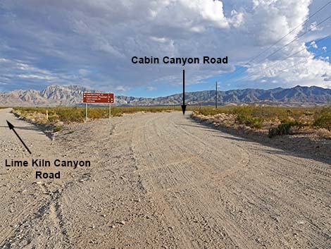 |
Getting to the Road Cabin Canyon Road is located about 1-1/2 hours east of Las Vegas, in the wild, remote, and scenic Gold Butte National Monument south of the town of Mesquite. From Las Vegas, drive out Interstate-15 to Mesquite. Take Exit 120 onto Falcon Ridge Pkwy/W Mesquite Blvd, drive straight through the round-about, and continue 0.8 miles to a traffic light at Riverside Road. Turn right onto Riverside and drive south 1.1 miles, just across the Virgin River, to White Rock Road, on the left. Turn left onto White Rock Road and drive east, then southeast for 1.1 miles to where the pavement curves left to become Scenic Road. Here, at the bend, Lime Kiln Canyon Road continues straight southeast onto the dirt. Continue southeast on Lime Kiln Canyon Road for 2.1 miles to a cattle guard. Just past the cattle guard, the road forks. Cabin Canyon Road bends right following the powerlines heading due south. |
 Cabin Canyon Road approaching directional sign (view SSE) |
The Road From the intersection with Lime Kiln Canyon Road (Table 1, Site 1862), Cabin Canyon Road runs south-southeast heading up the bajada towards the Virgin Mountains. Following the powerline, the road runs 2.6 miles to a short side road (Site 1864) on the right that leads to a municipal water tank (visible from Mesquite) and a cell tower. Access to this facility explains why the road is well maintained to this point, but beyond the water tank, the roads narrows and degrades. Continuing up the bajada, the road narrows from two lanes to one, but the road is still in fairly good condition. At about 3.8 miles out, the road crosses to the west side of the Cabin Canyon Wash and runs up another wash following hills on the right; surprisingly, this is not Cabin Canyon Wash. At 5.1 miles out, Cabin Canyon Road passes an obscure side road (Site 1865) to the right. This road, Low Road, stays in the canyon bottom and is easier to see after passing it and looking down the hillside to the right. |
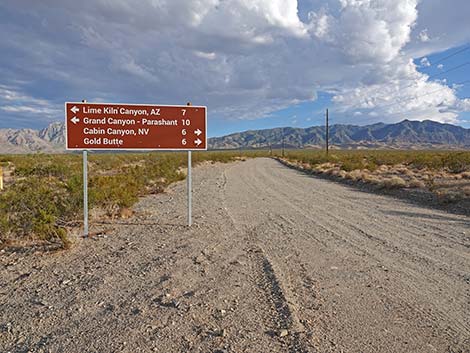
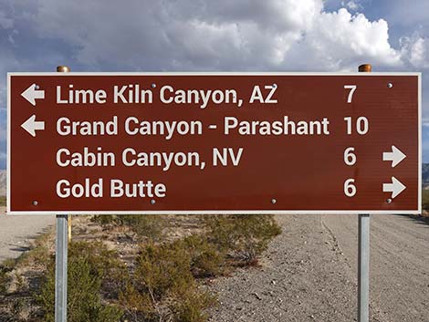 Cabin Canyon Road at directional sign (view SE) |
Cabin Canyon Road climbs rather steeply, and then at 5.4 miles out, passes High Road (Site 1866) on the right. High Road climbs onto the ridge to the right, but eventually connects with Low Road, and together, they run back down ridges towards Mesquite. Just past High Road, Cabin Canyon Road climbs onto the ridgeline and drops somewhat steeply to cross Cabin Canyon Wash again (5.7 miles out) at a point where there is a striking limestone ridge on the right and an historical corral on the left (only a few fence posts remain). Although not obvious at this point, a narrow side road, Indian Ridge Road (Site 1867) runs east from the corral. This road, which crosses Indian Ridge into Arizona, serves as the boundary of Gold Butte National Monument at the northeast corner. Beyond the corral, the boundary of Gold Butte National Monument follows the left side of Cabin Canyon Road for 0.4 miles. During this time, the road passes a major side canyon on the right. This is Hen Spring Canyon, and it separates Bunkerville Ridge (north) from Cabin Spur Ridge (south). |
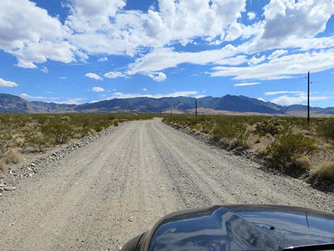 Cabin Canyon Road (view SSE) |
At 6.1 miles out, Hen Spring Road (Site 1868) branches to the right. Hen Spring Road is a narrow and difficult road, but it serves as the northeast boundary of Gold Butte National Monument. Beyond Hen Spring Road, Cabin Canyon Road fully enters Gold Butte National Monument and more closely follows Cabin Canyon. At about 6.5 miles out, the road passes an enormous white boulder on the right shoulder of the road. Unfortunately, vandals like to spray paint this boulder -- please don't do this because other people have to come and clean it. Just beyond the boulder, the road crosses Cabin Canyon Wash, which can be Cabin Canyon Creek in the spring, and passes the entrance to White Rock Campground (Site 1869), on the right. Not much of the campground remains, but there are some campfire rings, a couple of crumbling concrete picnic tables, and a large concrete pad. |
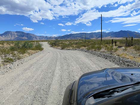 Cabin Canyon Road follows the powerlines (view SSE) |
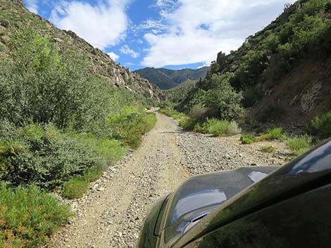
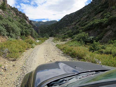
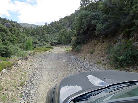
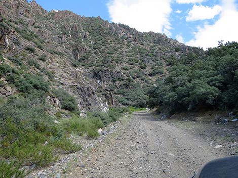
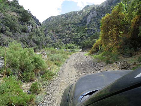
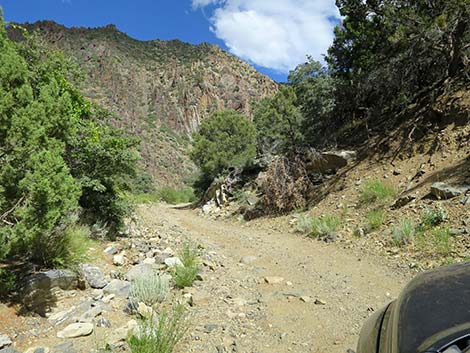
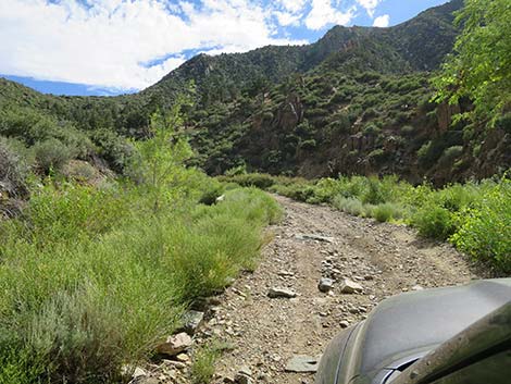
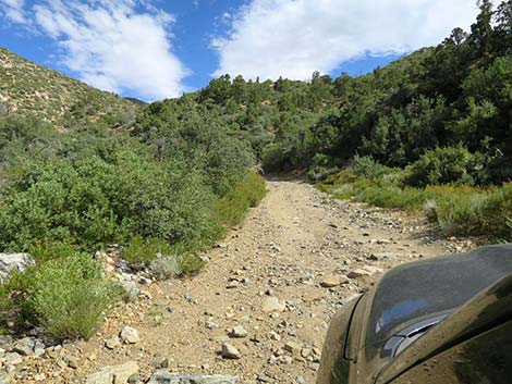
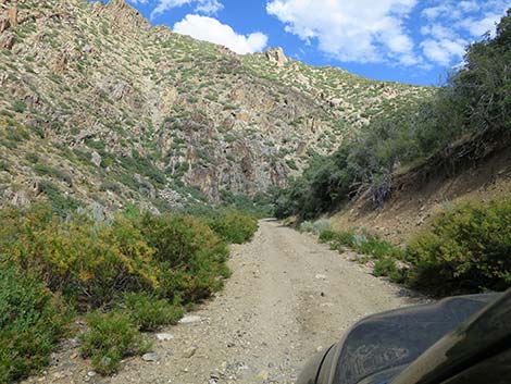
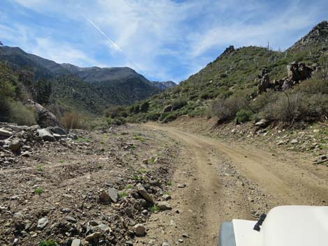
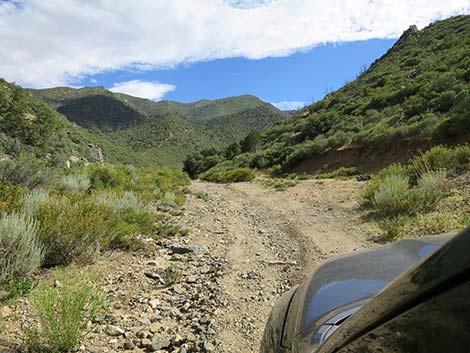
Beyond White Rock Campground, Cabin Canyon Road runs up into Cabin Canyon, proper, which quickly becomes quite narrow, and the road either runs in the wash or tucked tightly between the wash and cliffs. At about 7.6 miles out, Cabin Canyon Road passes an obscure fork to the left where Taglo Mine Road (Site 1870) drops into the wash. Taglo Mine Road is passable in short-wheel-base vehicles, but it is not for the faint of heart. Continuing, Cabin Canyon opens up a bit and bends gently to the right. In this area, Cabin Canyon Road remains comfortably above the wash, and at 8.2 miles out, arrives at a major fork (Site 1871). Here, Cabin Canyon Road stays right even as the more heavily used road (Silverleaf Mine Road) stays left (straight). Staying right, Cabin Canyon Road heads northwest following Cabin Canyon, proper. In another 0.1 miles, the road forks again (Site 1872), and Cabin Canyon Road continues northwest following Cabin Canyon, proper. To the left at the fork, the road runs onto an old mining landing area with a large cement slab (a landmark in this area). |
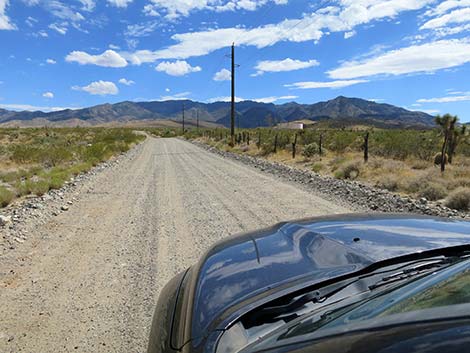 Approaching municipal water tank and tower (view S) |
Continuing west up Cabin Canyon, the road degrades almost immediately and becomes an ATV road. For the next 0.8 miles, the road follows the wash bottom in the narrow canyon. Flash floods over the years have turned up many boulders, and trees in the narrow canyon make turning around difficult. Beyond 0.8 miles out to 2.0 miles, the road is somewhat better, but still difficult in anything other than an ATV-type vehicle up to Cabin Canyon Saddle, which is marked by an old cattle guard. From the saddle, one road continues up into the mountains, which another road, Upper Nickel Canyon Road, continues down, passes a radio tower, and descends back to lower elevations. Back at the fork in the road with the cement slab (Site 1872), the left fork turns south onto a large, flat landing area with a concrete pad that probably was the floor of a mine building. This seems to be a popular campsite. This road continues south across the landing area and connects with Silverleaf Mine Road, which runs up the canyon about 0.7 miles to Silverleaf Mine. This road is best left to ATVs and hiking boots. |
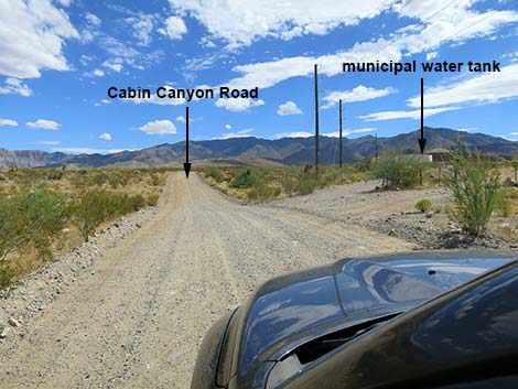 Cabin Canyon Road at spur road to water tank (view S) |
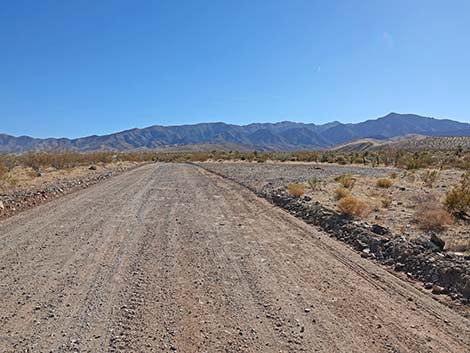 Approaching campsite opposite water tank facility (view SW) |
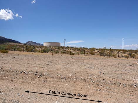 Campsite opposite water tank facility (view W) |
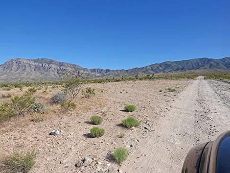 Approaching campsite above water tank (view SE) |
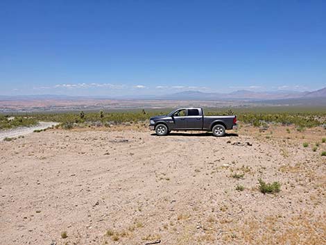 Campsite on the left: lots of space and big views (view E) |
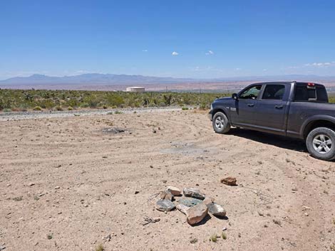 Campsite on the left: lots of space and big views (view E) |
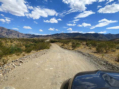 Past water tank, Cabin Canyon Road narrows (view SSE) |
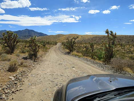 Cabin Canyon Road (view SW) |
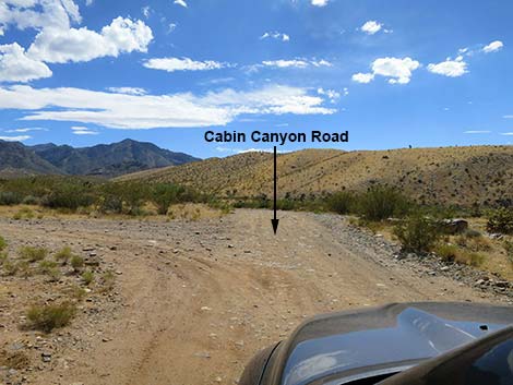 Cabin Canyon Road at side road (view SW) |
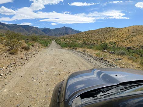 Cabin Canyon Road runs into the hills (view SW) |
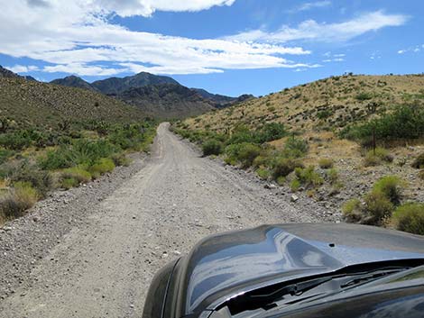 Cabin Canyon Road runs up into a shallow canyon (view SW) |
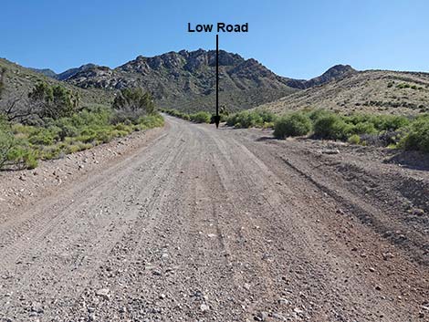 Cabin Canyon Road approaching Low Road (view SW) |
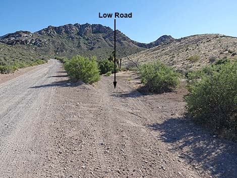 Low Road (view SW from Cabin Canyon Road) |
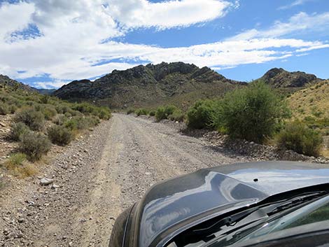 Cabin Canyon Road starting up a hill (view SW) |
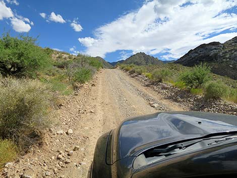 Cabin Canyon Road climbing somewhat steeply (view S) |
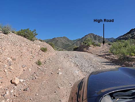 Cabin Canyon Road at High Road just below ridgeline (view S) |
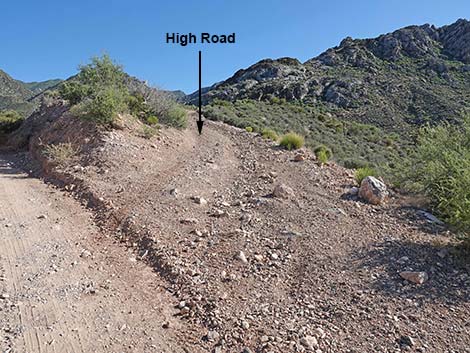 High Road (view S from Cabin Canyon Road) |
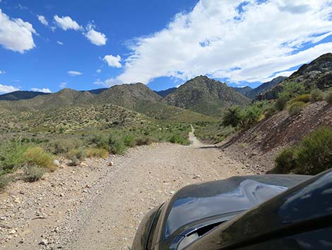 Cabin Canyon Road atop ridgeline (view S) |
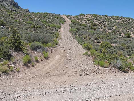 Cabin Canyon Road at the other end of High Road (view W) |
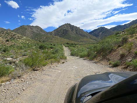 Cabin Canyon Road descending into the next canyon (view S) |
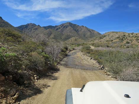 Water on roadway after very wet winter (view S) |
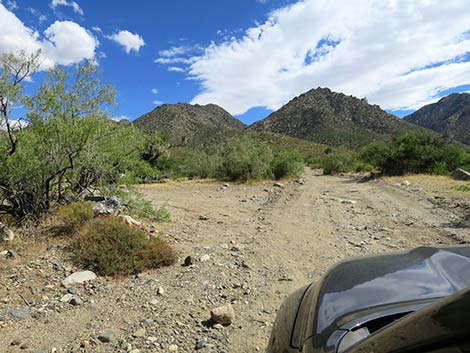 Cabin Canyon Road at turn into historical corral area (view S) |
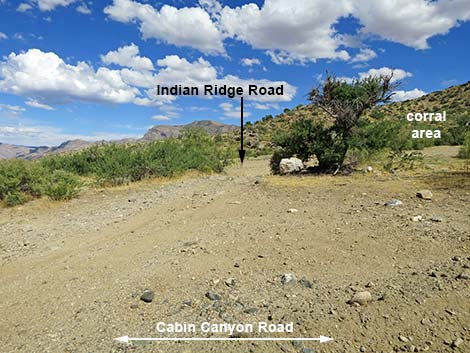 Indian Ridge Road marks the boundary of Gold Butte NM (view E) |
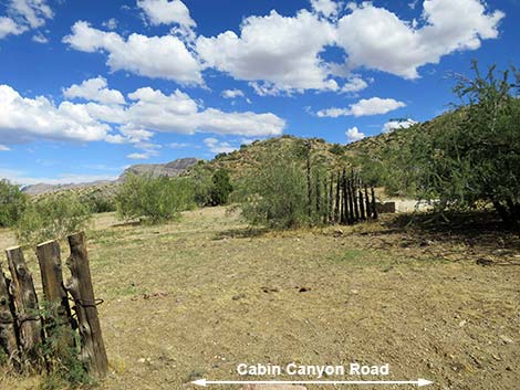 Cabin Canyon Road at historical corral (view E) |
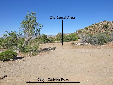 Historical corral area (view E from Cabin Canyon Road) |
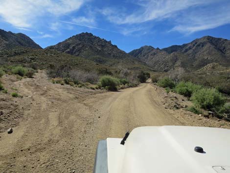 Cabin Canyon Road at Side Road to Nowhere (view S) |
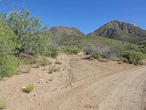 Side Road to Nowhere (view SE from Cabin Canyon Road) |
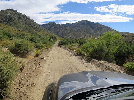 Cabin Canyon Road (view SW) |
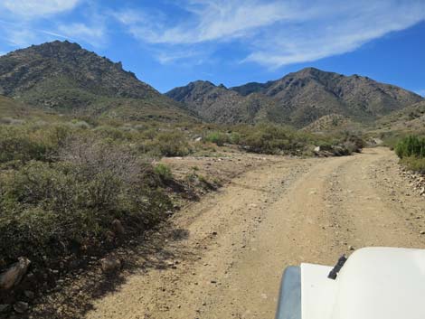 Side road to nowhere returns to main road (view SW) |
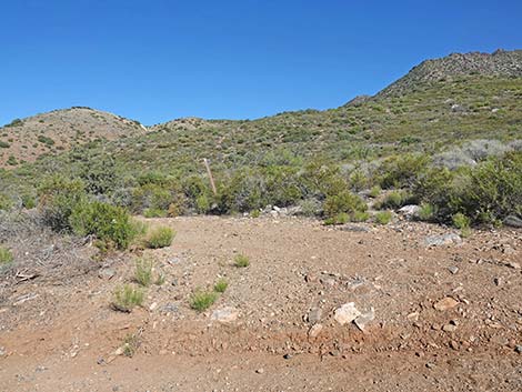 Side Road to Nowhere returns to main road (view SE from CC Rd) |
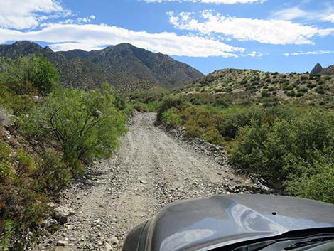 Approaching wash crossing when dry (view SW) |
 Approaching wash crossing when wet (view SW) |
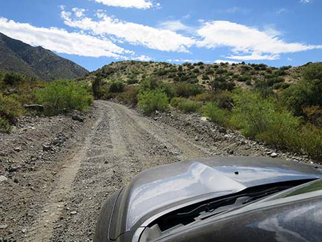 Much of the road is in good shape ... (view SW) |
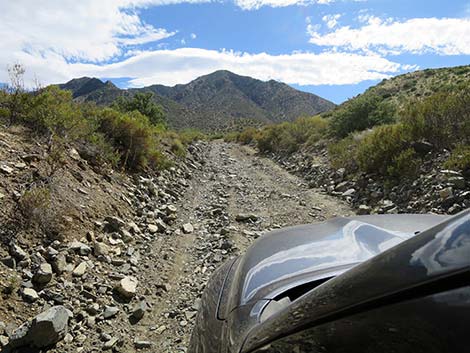 ... but parts are washed and rocky (view SW) |
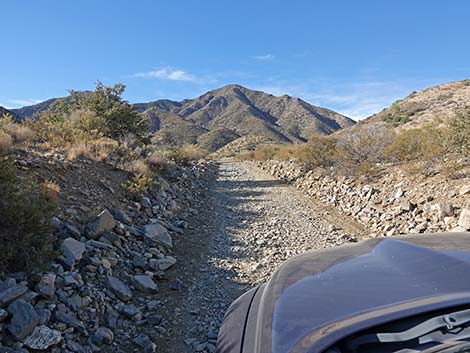 Cabin Canyon Road (view SW) |
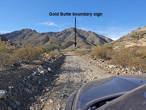 Cabin Canyon Road approaching Gold Butte boundary sign (view SW) |
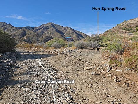 Cabin Canyon Road approaching Hen Spring Road (view SW) |
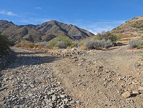 Cabin Canyon Road at Hen Spring Road (view SW) |
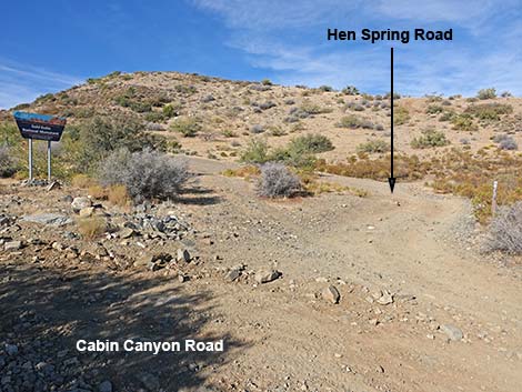 Hen Spring Road (view W from Cabin Canyon Road) |
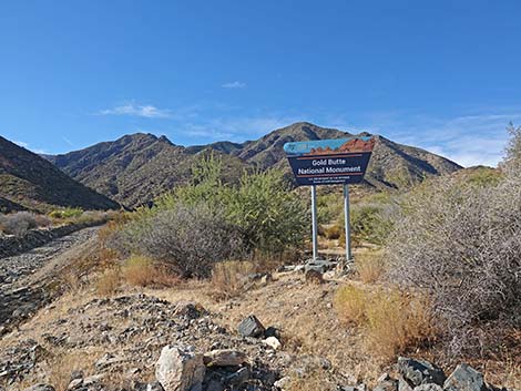 Gold Butte boundary sign (view SW) |
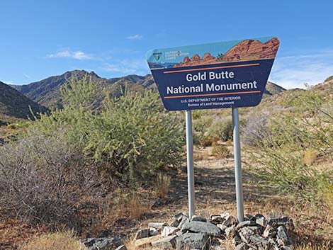 Gold Butte boundary sign (view SW) |
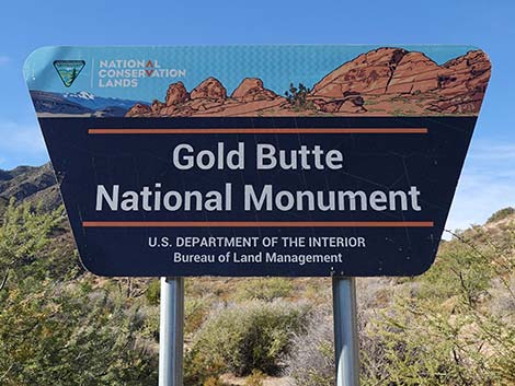 Gold Butte boundary sign (view SW) |
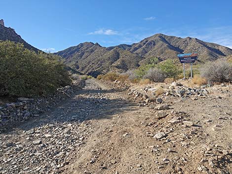 Cabin Canyon Road continuing into Gold Butte NM (view SW) |
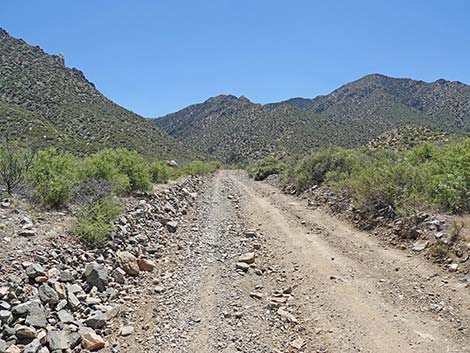 Cabin Canyon Road continues past boundary sign (view SW) |
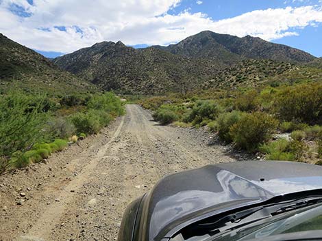 Cabin Canyon Road (view SW) |
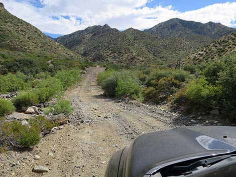 Cabin Canyon Road approaching Cabin Wash dry (view SW) |
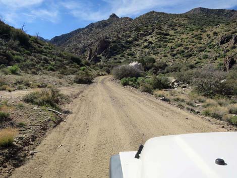 Cabin Canyon Road at another side road to nowhere (view SW) |
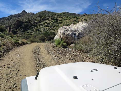 Cabin Canyon Road approaching enormous white boulder (view SW) |
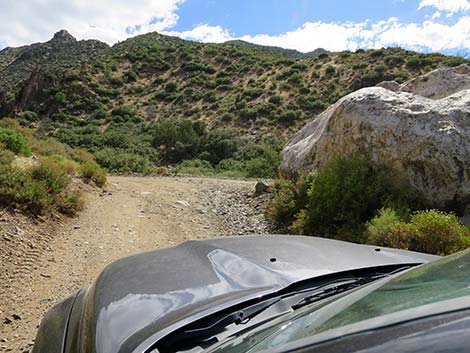 The "white rock" of White Rock Campground (view SW) |
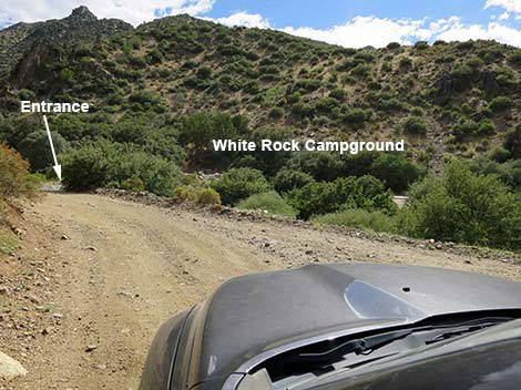 Just past enormous boulder, camp is visible across wash (view SW) |
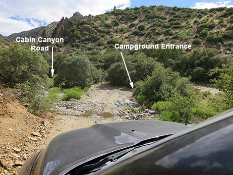 Crossing Cabin Wash at camp entrance (view SW) |
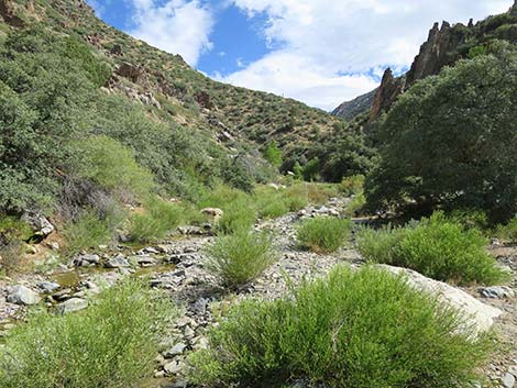 Looking up Cabin Creek (view SE from Cabin Canyon Road) |
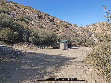 Entering White Rock Campground (view NW) |
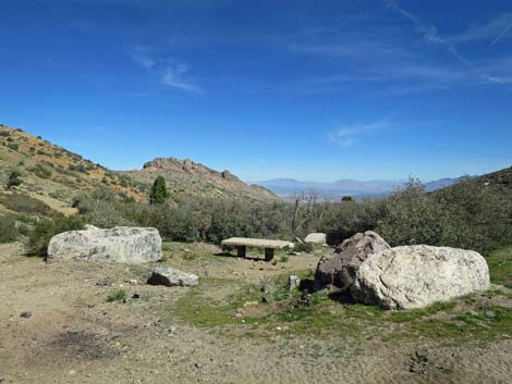 White Rock Campsite with white rocks (view NE) |
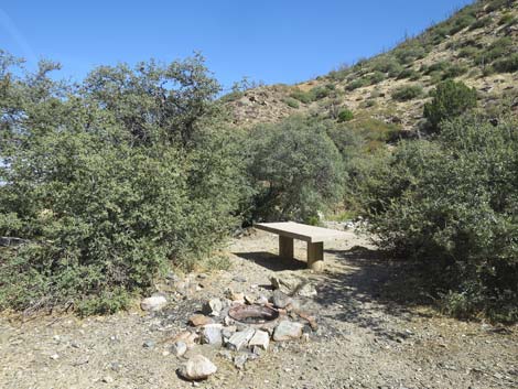 White Rock Campsite (view E) |
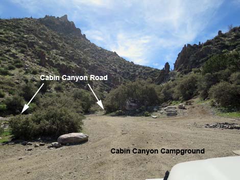 Exiting White Rock Campground (view SE) |
Upper Cabin Canyon. Beyond White Rock Campground, Cabin Canyon Road is narrower, rockier, steeper, and more subject to washout.
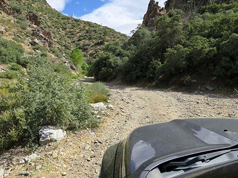 Cabin Canyon Road passing the campground (view S) |
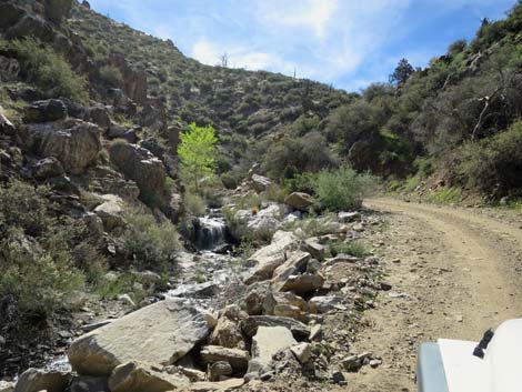 Those rocks were on the road not long ago (view S) |
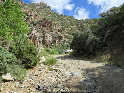 Cabin Canyon Road enters narrow canyon (view S) |
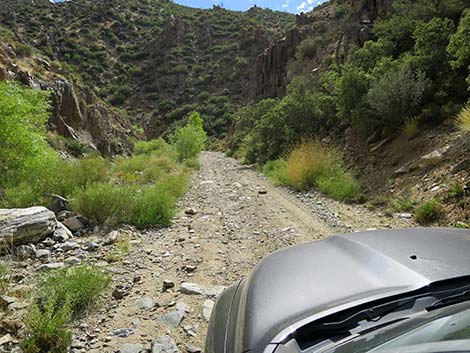 Parts of the road are pretty easy (view SW) |
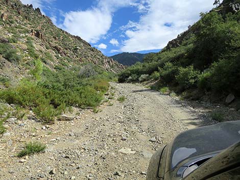 |
 |
 |
 |
 |
 |
 |
 |
 |
 |
 |
 |
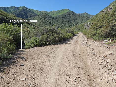 Cabin Canyon Road at Taglo Mine Road (view S) |
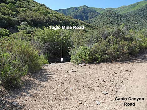 Taglo Mine Road (view SE from Cabin Canyon Road) |
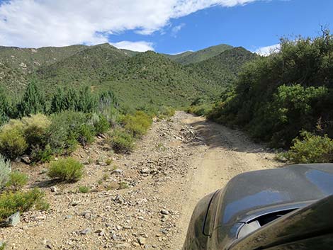 A small population of Arizona Cypress on the left (view S) |
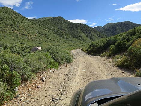 Winding up Cabin Canyon Road (view SW) |
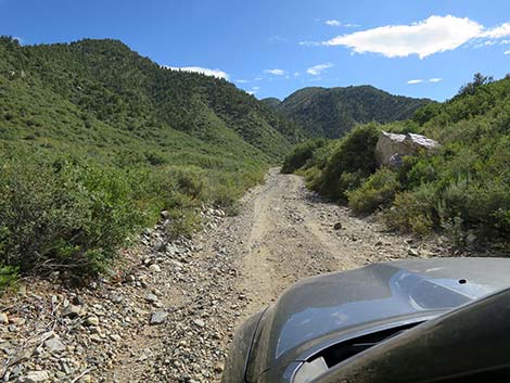 Cabin Canyon Road (view SW) |
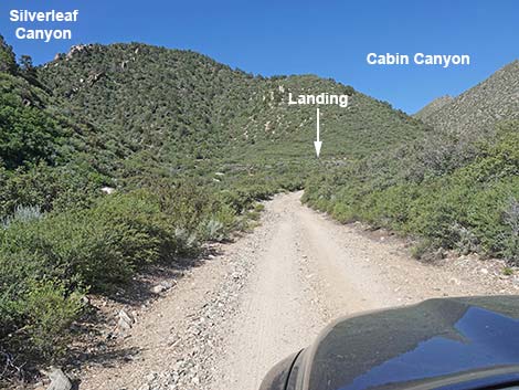 Cabin Canyon Road; the landing becomes visible (view W) |
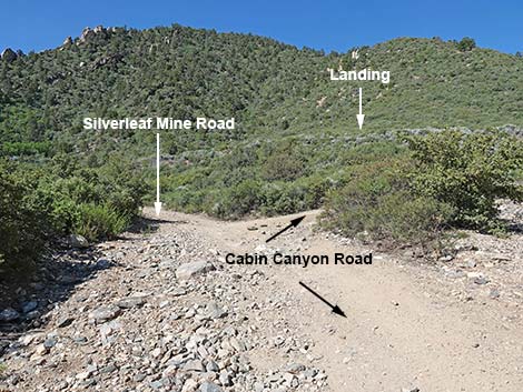 Cabin Canyon Road approaching fork (view W) |
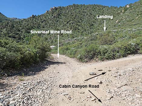 Silverleaf Mine Road continues straight (view SW) |
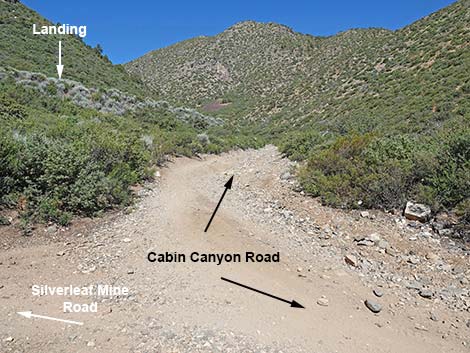 Cabin Canyon Road stays right at the fork (view NW) |
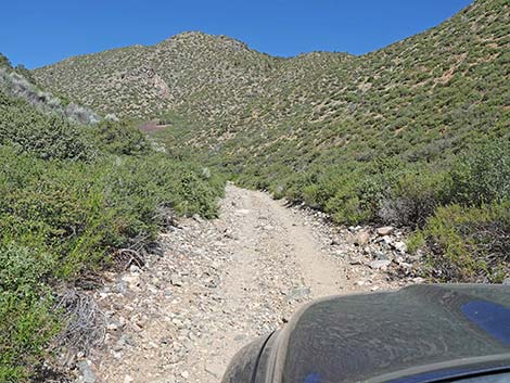 Cabin Canyon Road (view NW) |
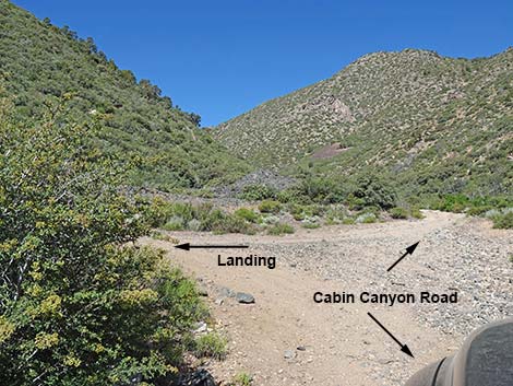 Cabin Canyon Road at fork to landing (view W) |
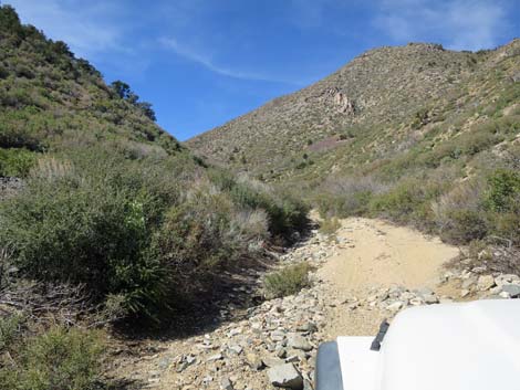 End of easy Cabin Canyon Road (view W) |
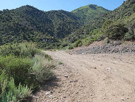 Turning left into the landing area (view SE) |
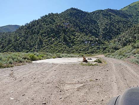 Cabin Canyon landing and cement slab (view SE) |
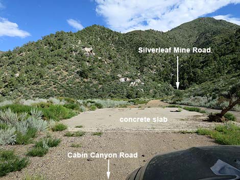 Cabin Canyon Landing with concrete slab (view SE) |
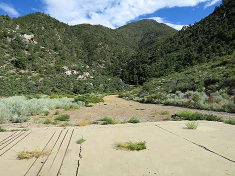 Concrete slab on Cabin Canyon Landing (view SE) |
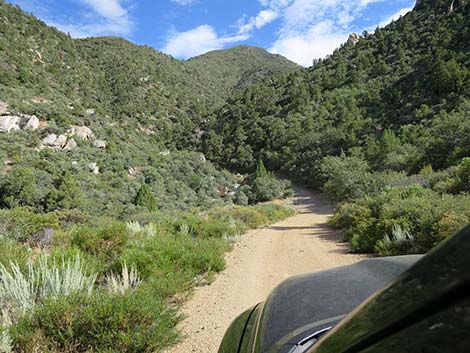 Continuing straight departing the Landing area (view SE) |
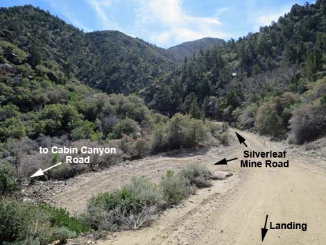 Departing the Landing, turn left onto Silverleaf Mine Road (view SE) |
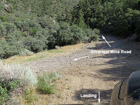 Turn sharply onto Silverleaf Mine Road (view SE) |
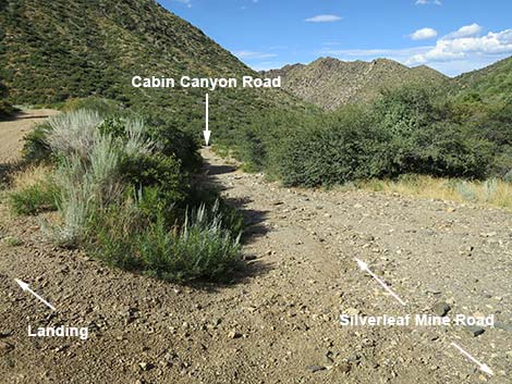 Turning hard left to go down Silverleaf Mine Road (view NE) |
Cabin Canyon Road: beyond the cement slab
 Cabin Canyon Road stays right at the fork below landing (view NW) |
 Cabin Canyon Road at fork to landing and cement slab (view W) |
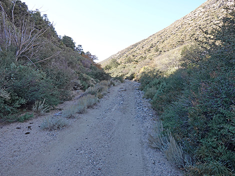 Continuing up Cabin Canyon Road past cement slab (view W) |
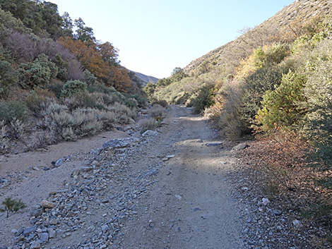 Cabin Canyon Road (view W) |
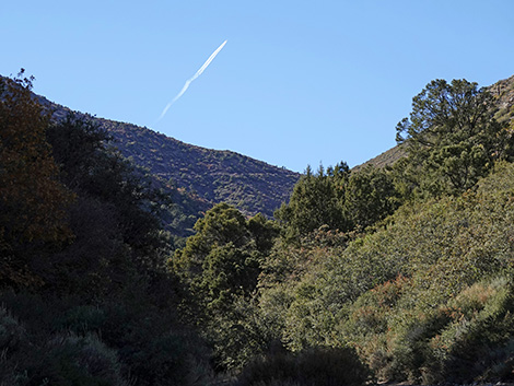 View from Cabin Canyon Road to the saddle (view W) |
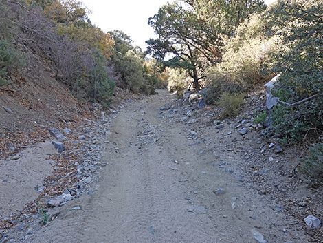 Cabin Canyon Road (view W) |
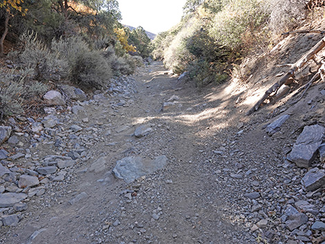 Cabin Canyon Road has several rocky sections (view W) |
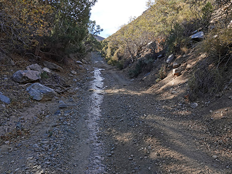 Cabin Canyon Road at a spring (view W) |
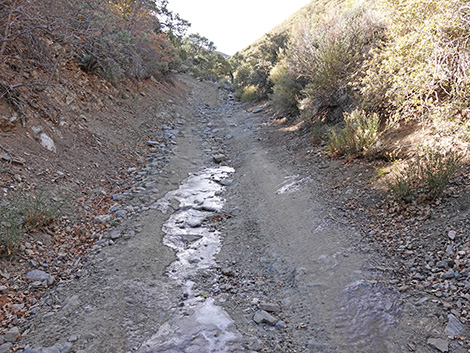 The spring water was frozen (view W) |
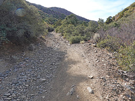 Very steep and off-camber roadway above the spring (view W) |
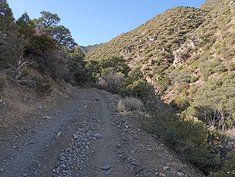 Cabin Canyon Road (view W) |
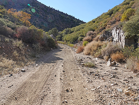 One of few places to turn a truck around (view W) |
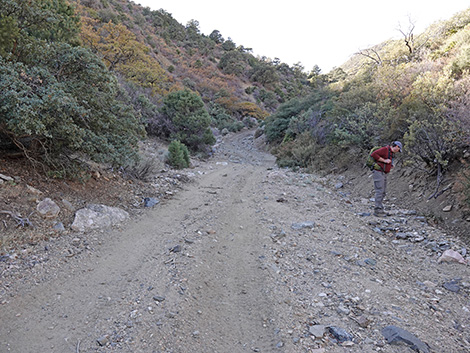 Cabin Canyon Road (view W) |
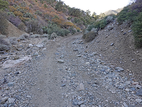 Cabin Canyon Road (view W) |
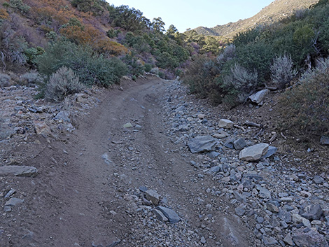 Doesn't really show, but steep, rocky, and off-camber (view W) |
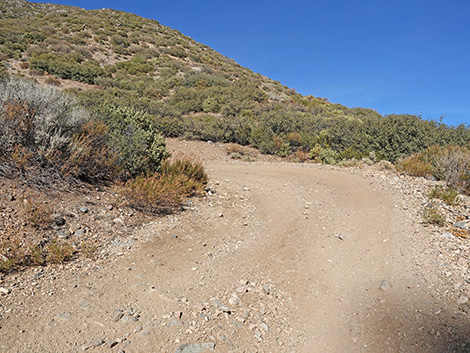 Starting into the switchbacks (view NE) |
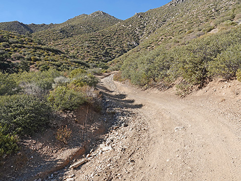 The road gets out of the wash bottom (view W) |
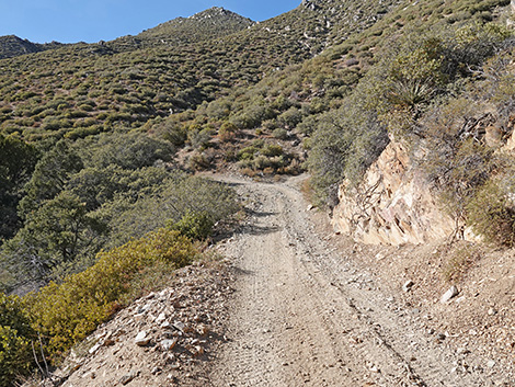 Cabin Canyon Road (view W) |
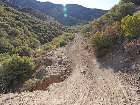 This washout is getting worse (view W) |
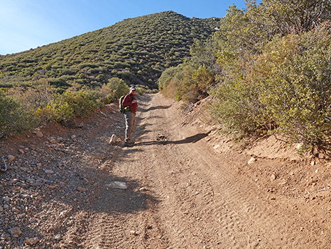 Cabin Canyon Road (view W) |
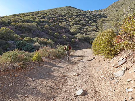 Cabin Canyon Road (view W) |
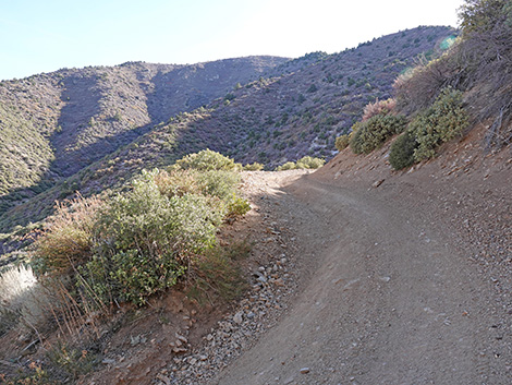 Cabin Canyon Road (view S) |
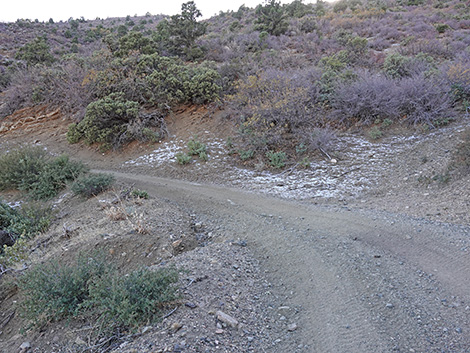 Snow on the roadside (view SW) |
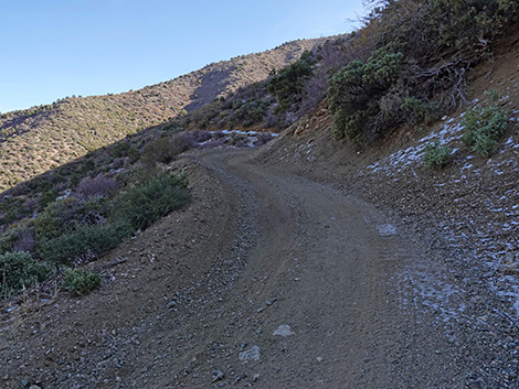 Snow on the roadside (view S) |
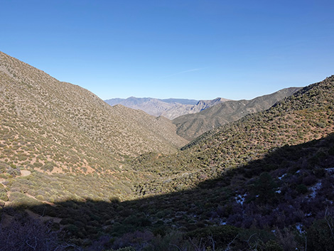 Looking back down Cabin Canyon (view E) |
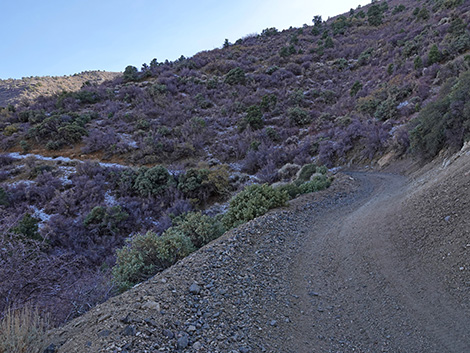 The road contours up across the slopes (view SE) |
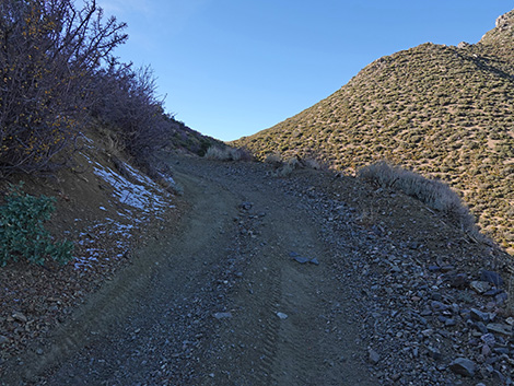 Cabin Canyon Road approaching the saddle (view NW) |
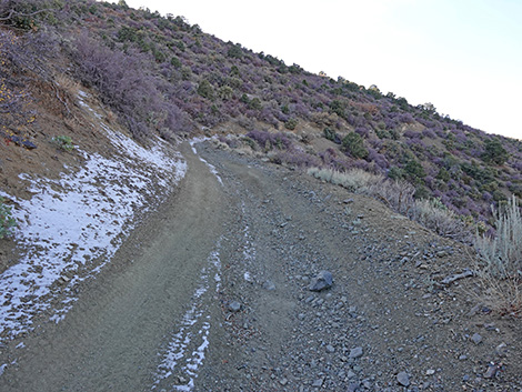 Cabin Canyon Road (view NW) |
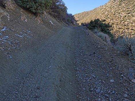 Cabin Canyon Road (view NW) |
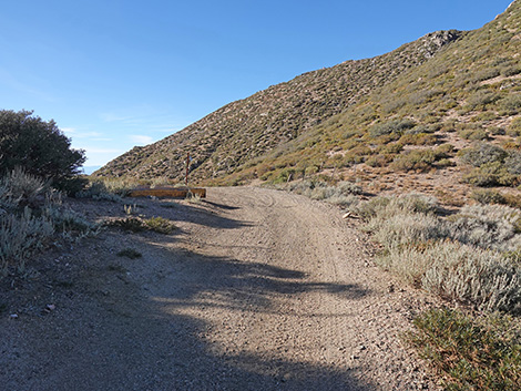 Cabin Canyon Road nearing the saddle (view NW) |
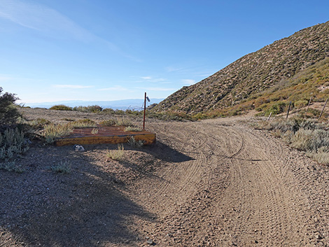 Cabin Canyon Road at the saddle (view NW) |
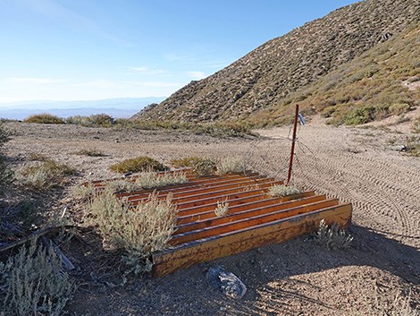 Old cattle guard atop the saddle (view NW) |
Descending Upper Upper Nickel Canyon Road
 Old cattle guard atop the saddle (view NW) |
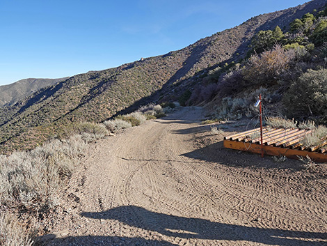 Old cattle guard looking back into Cabin Canyon (view SE) |
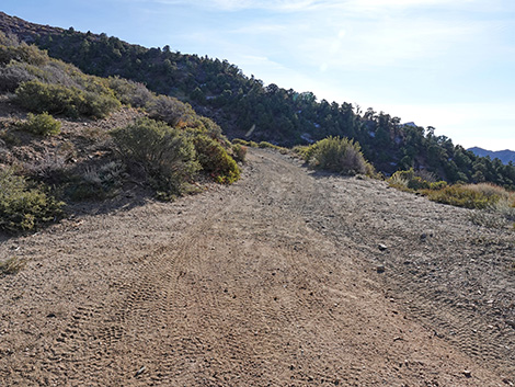 Old cattle guard looking up Nickel Canyon Road (view SW) |
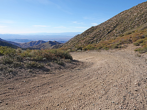 Old cattle guard looking down Nickel Canyon Road (view NW) |
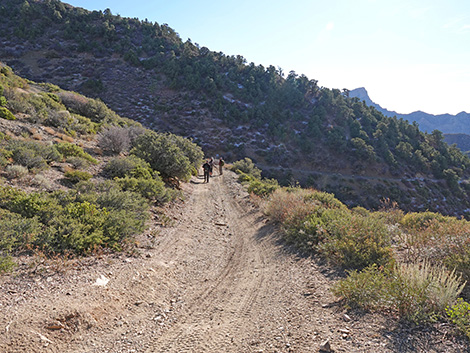 Nickel Canyon Road (view SW) |
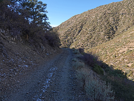 Nickel Canyon Road (view W) |
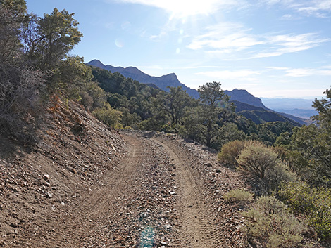 Nickel Canyon Road (view W) |
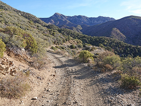 Nickel Canyon Road (view S) |
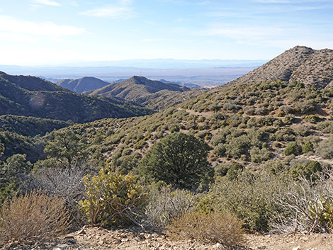 Nickel Canyon (view W) |
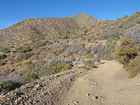 Nickel Canyon Road (view NW) |
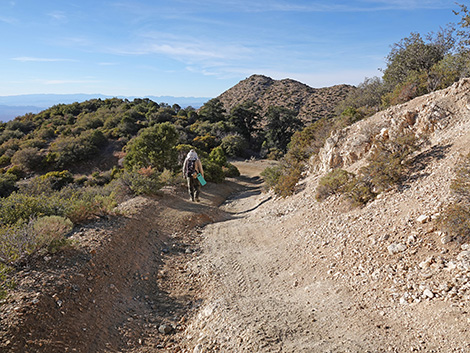 Nickel Canyon Road (view NW) |
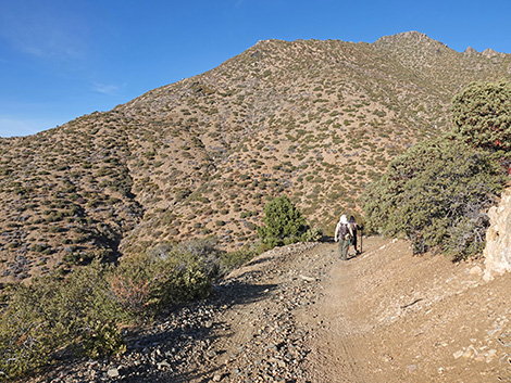 Nickel Canyon Road (view NW) |
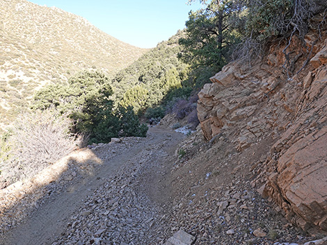 Nickel Canyon Road (view NE) |
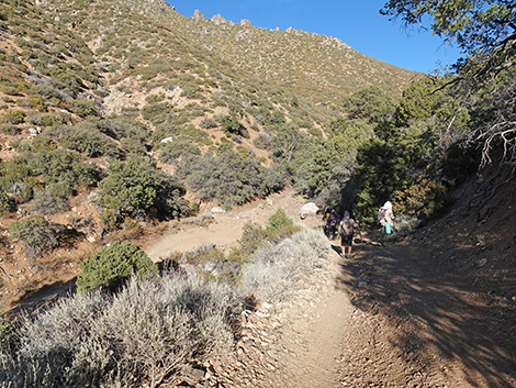 Nickel Canyon Road approaching a switchback (view NE) |
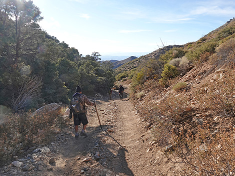 Nickel Canyon Road (view W) |
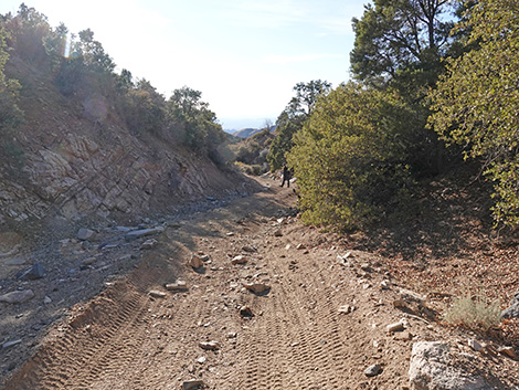 Nickel Canyon Road (view W) |
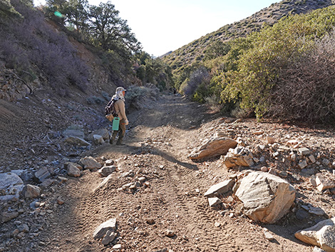 Nickel Canyon Road (view W) |
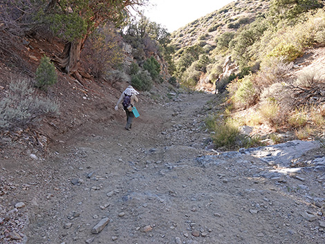 Nickel Canyon Road (view W) |
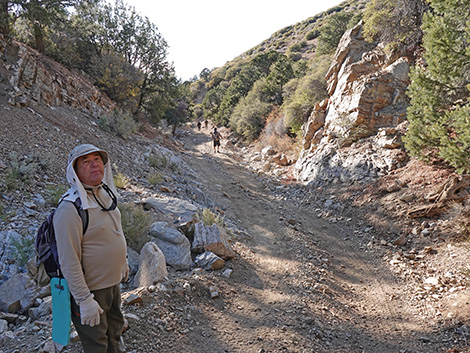 Nickel Canyon Road (view W) Nickel Canyon Road (view W) |
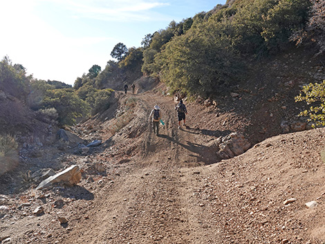 Nickel Canyon Road (view W) |
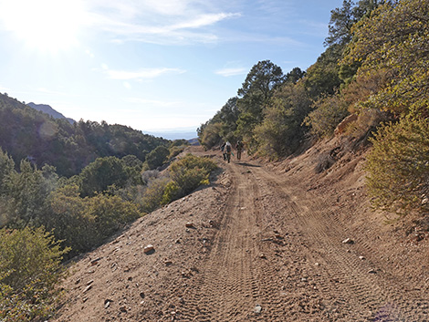 Nickel Canyon Road (view W) |
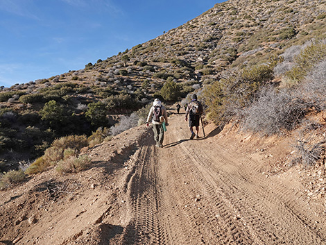 Nickel Canyon Road (view W) |
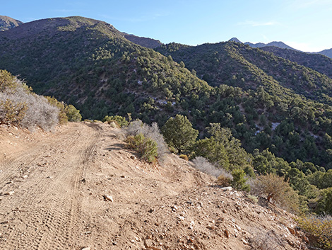 Looking back at a "side road" (view S) |
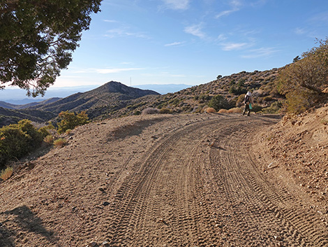 Nickel Canyon Road (view W) |
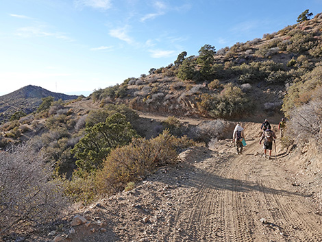 Nickel Canyon Road (view W) |
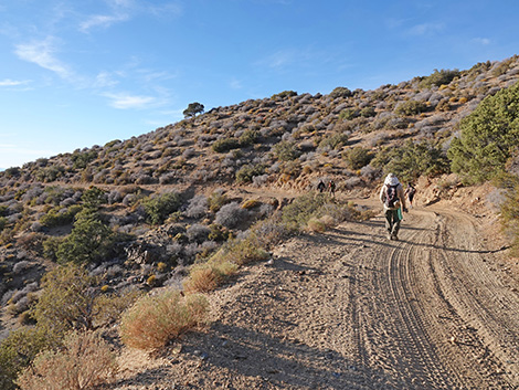 Nickel Canyon Road (view W) |
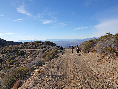 Nickel Canyon Road (view W) |
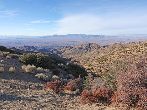 Grand view towards Mormon Mountains (view NW) |
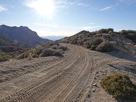 Nickel Canyon Road at a short spur to hilltop (view W) |
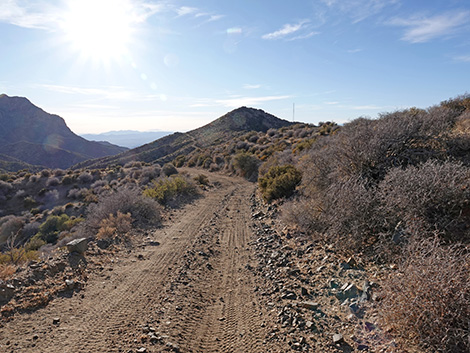 Nickel Canyon Road (view W) |
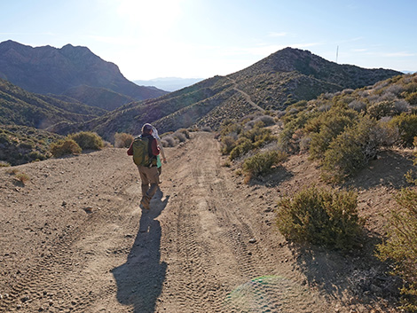 Nickel Canyon Road (view W) |
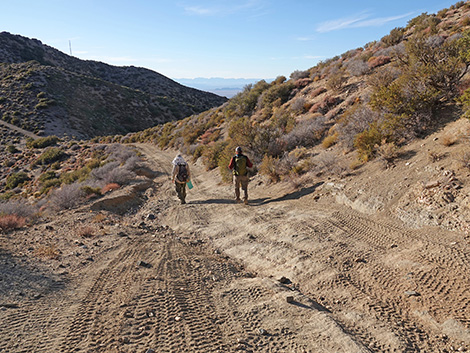 Nickel Canyon Road (view W) |
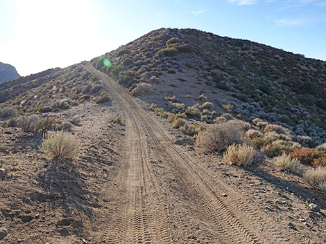 Nickel Canyon Road (view W) |
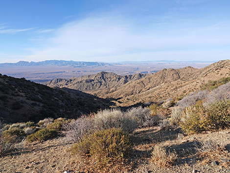 Grand view past the Mormon Mountains (view N) |
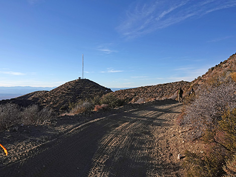 Nickel Canyon Road; radio tower comes into view (view W) |
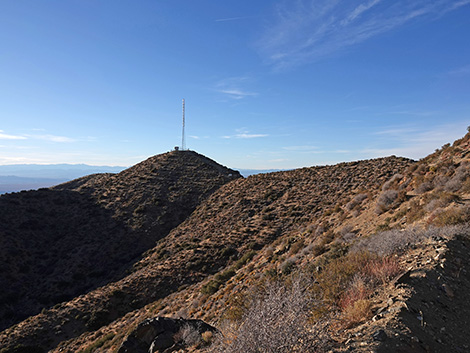 Nickel Canyon Road (view W) |
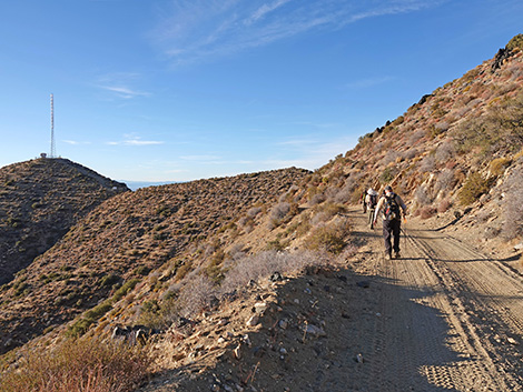 Nickel Canyon Road (view W) |
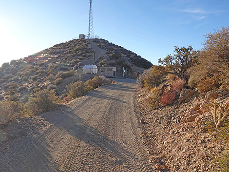 Nickel Canyon Road approaching the radio tower (view W) |
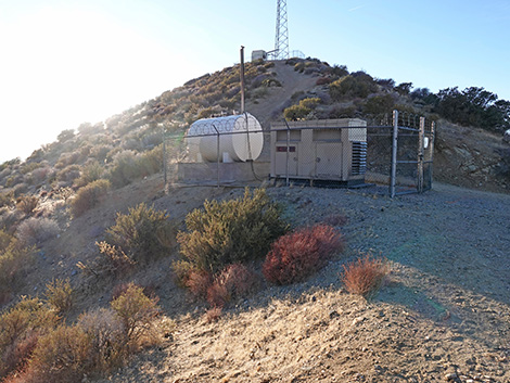 Nickel Canyon Road at the radio tower (view W) |
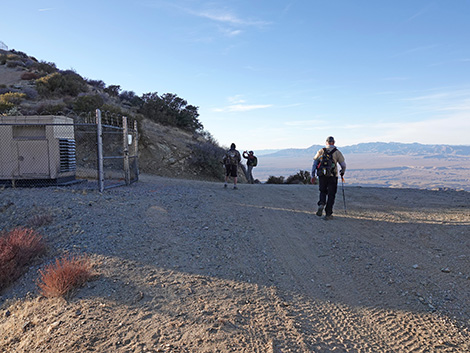 Nickel Canyon Road passing the radio tower (view W) |
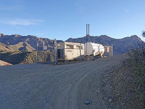 Looking back at the radio tower generator (view S) |
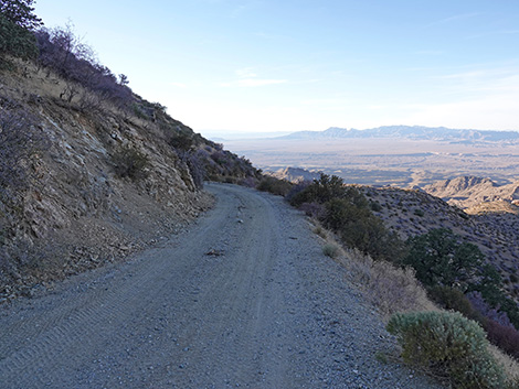 Nickel Canyon Road (view NW) |
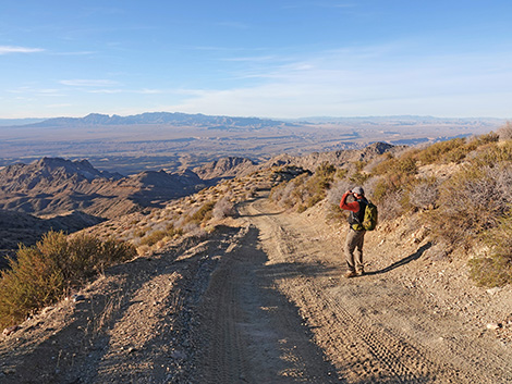 Nickel Canyon Road (view N) |
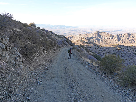 Nickel Canyon Road (view N) |
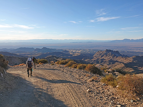 Nickel Canyon Road (view NW) |
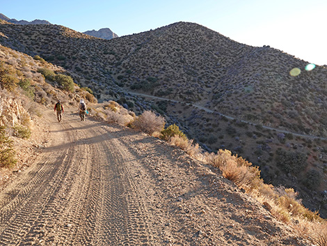 Nickel Canyon Road (view S) |
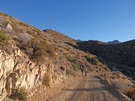 Nickel Canyon Road (view S) |
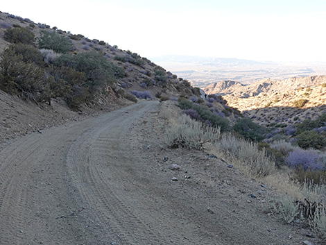 Nickel Canyon Road (view NW) |
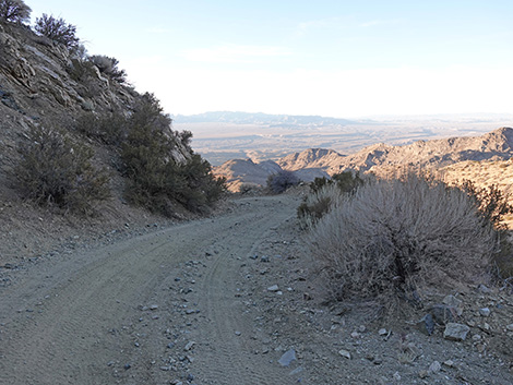 Nickel Canyon Road (view NW) |
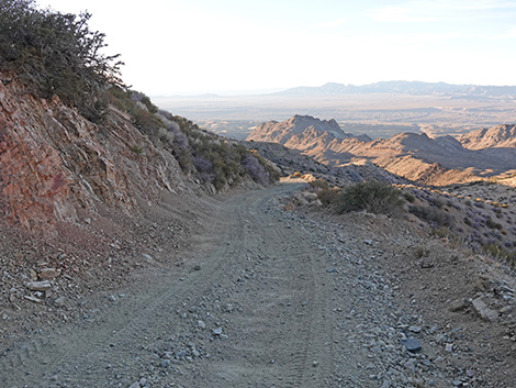 Nickel Canyon Road (view NW) |
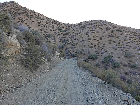 Nickel Canyon Road (view SW) |
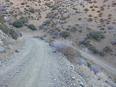 Nickel Canyon Road (view SW) |
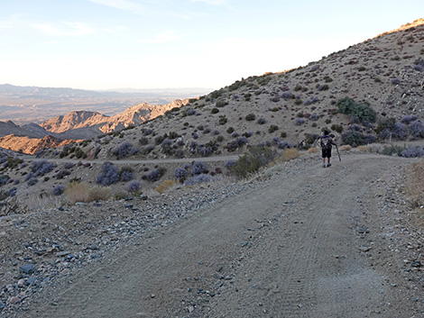 Nickel Canyon Road (view NE) |
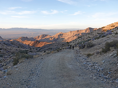 Nickel Canyon Road (view N) |
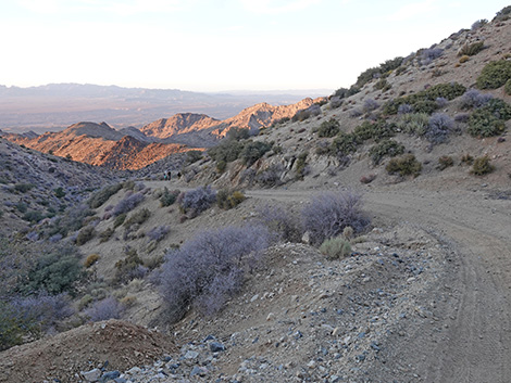 Nickel Canyon Road (view N) |
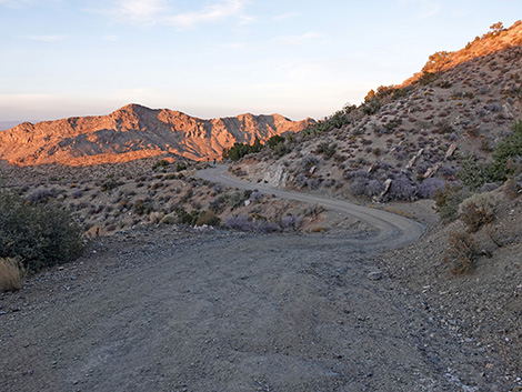 Nickel Canyon Road (view NE) |
Table 1. Highway Coordinates Based on GPS Data (NAD27; UTM Zone 11S). Download Highway GPS Waypoints (*.gpx) file.
| Site | Location | UTM Easting | UTM Northing | Latitude (N) | Longitude (W) | Elevation (ft) |
|---|---|---|---|---|---|---|
| 1862 | Lime Kiln Road at Cabin Canyon Road | 762378 | 4071428 | 36.75416 | 114.06101 | 2,118 |
| 1864 | Cabin Canyon Road at Water Tank Road | 763115 | 4067256 | 36.71640 | 114.05420 | 2,800 |
| 1865 | Cabin Canyon Road at Low Road | 762181 | 4063530 | 36.68311 | 114.06593 | 2,943 |
| 1866 | Cabin Canyon Road at High Road | 762175 | 4063175 | 36.67992 | 114.06612 | 3,646 |
| 1867 | Cabin Canyon Road at Indian Ridge Road | 762238 | 4062767 | 36.67623 | 114.06556 | 3,710 |
| 1868 | Cabin Canyon Road at Hen Spring Road | 761987 | 4062204 | 36.67123 | 114.06855 | 3,688 |
| 1869 | Cabin Canyon Road at Cabin Canyon Campground | 761828 | 4061571 | 36.66558 | 114.07054 | 3,826 |
| 1870 | Cabin Canyon Road at Taglo Mine Road | 762303 | 4060234 | 36.65341 | 114.06570 | 4,367 |
| 1871 | Cabin Canyon Road at Silverleaf Mine Road | 761875 | 4059460 | 36.64656 | 114.07074 | 4,658 |
| 1872 | Cabin Canyon Road at Landing Road | 761756 | 4059491 | 36.64686 | 114.07206 | 4,690 |
Happy Hiking! All distances, elevations, and other facts are approximate.
![]() ; Last updated 241129
; Last updated 241129
| Hiking Around Gold Butte | Hiking Around Las Vegas | Glossary | Copyright, Conditions, Disclaimer | Home |