Backroads Around Las Vegas, Gold Butte
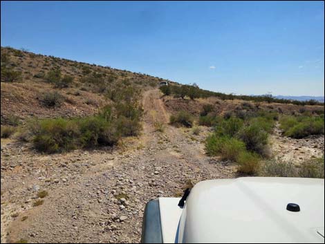
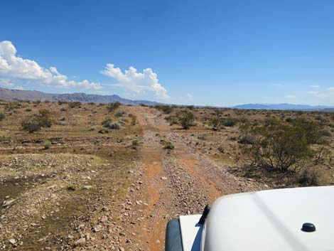
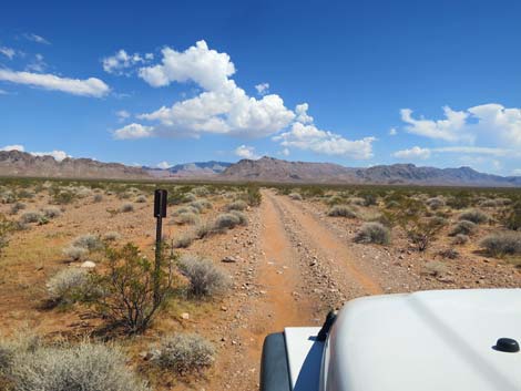
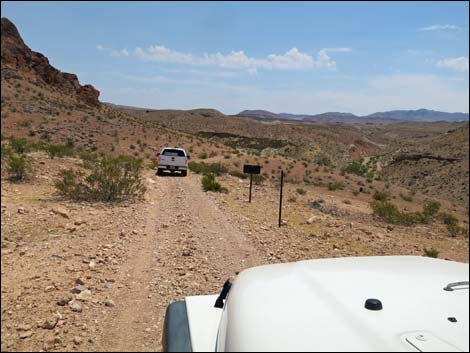
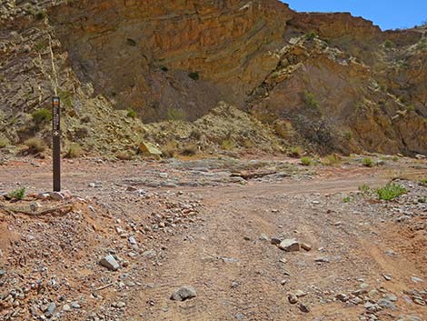
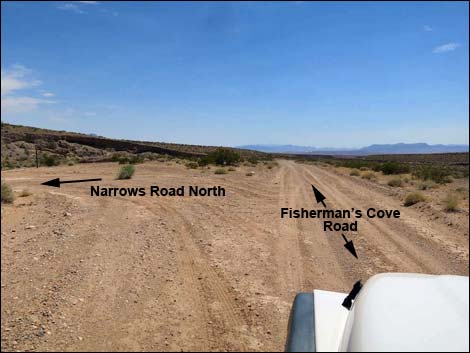 Fisherman Cove Road at Narrows Road North (view SW) |
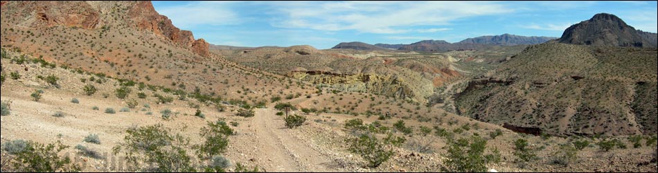
Overview Narrows Road North is a 7.1-mile two-track that runs north-south between Fisherman Cove Road to the north and Gold Butte Wash Road to the south. About half of Narrows Road North lies within the boundaries of Lake Mead NRA, but it starts and ends on BLM land. Much of the road runs across a broad bajada with long views east to the mountains and west and south to Lake Mead. The road dips steeply to cross two major washes, but the last quarter-mile is the most interesting. Here, the very narrow road descends steeply across cliffs into Mud Wash, then runs downstream through water flowing from Red Bluff Spring. Gold Butte Wash Road branches off to the left, and Narrows Road North ends shortly at the top of Mud Wash Narrows, which is back Lake Mead NRA. This road provides access to no particular destination, but it is part of the Fisherman Cove--Sand Wash--Mud Wash Loop that starts and ends at Whitney Pocket. For photos of the road northbound, see Narrows Road North - Northbound. Link to road map. |
 Beginning of Narrows Road North (view E) |
Watch Out Other than the standard warnings about hiking in the desert, ... this road is fairly safe (except maybe the cliffs), but it runs into a wild and remote area without services of any kind (no restrooms, no water, no gas, no food). Bring what you need to survive. Be prepared and be self-reliant. Someone will find you eventually if you stay on main roads, but be prepared to survive alone for a day or more on side roads. Cell phones should work towards the middle of the road. I drove my jeep down the three sets of cliffs using 4WD to improve control, but it probably wasn't necessary. Road conditions change; use your own good judgment. While out, please respect the land and the other people out there, and try to Leave No Trace of your passage. Also, this is a remote area, so be sure to bring the 10 Essentials. |
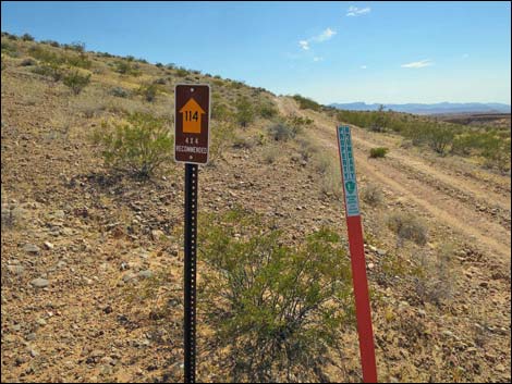
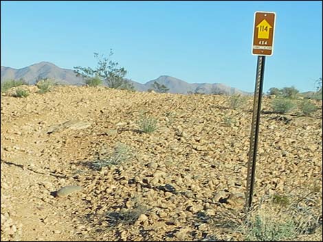
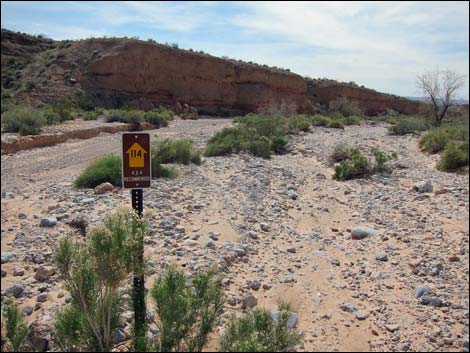
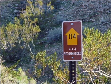
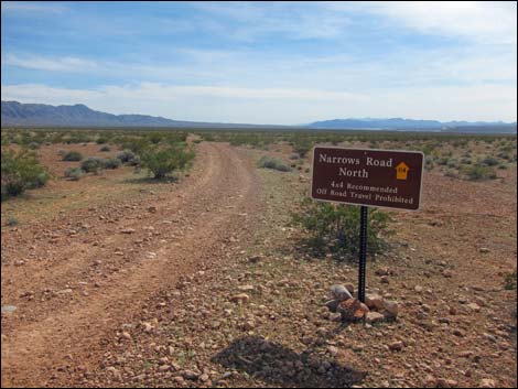
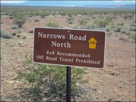
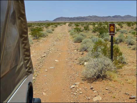
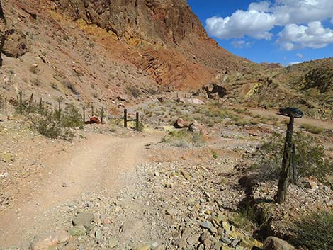
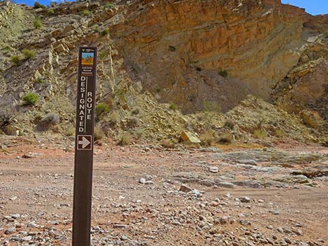
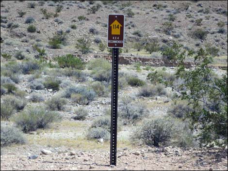 Designated road sign (NPS Road 114) |
Getting to the Roadhead Narrows Road North is located out in Gold Butte northeast of Lake Mead, about 2-1/4 hours northeast of Las Vegas. From Las Vegas, drive out to Gold Butte. From Whitney Pocket, turn around and drive north on the paved Gold Butte Road for 1.5 miles (just past the last big red sandstone crag on the left) to Black Butte Road, an unmarked dirt road on the left. Make a hard left turn onto Black Butte Road and drive southwest, passing Falling Man Trailhead, for 3.5 miles to Sand Wash Road, on the right. Continue west on Sand Wash Road for 5.9 miles to where it ends at an intersection with Narrows Road North. This is the north end of Narrows Road North. |
 Across the wash, the road climbs gradually (view E) |
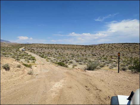
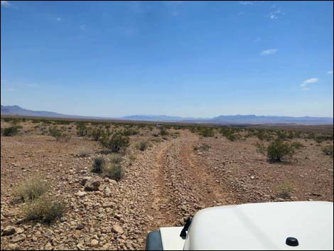
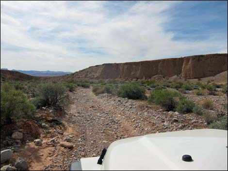
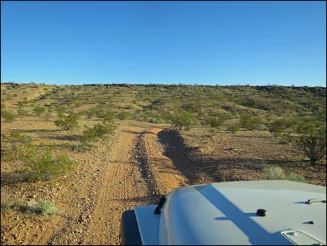
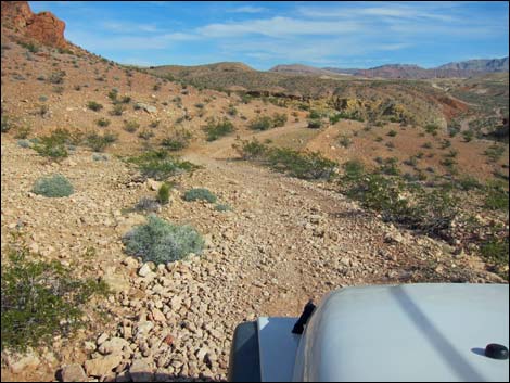
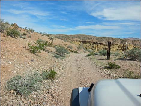
The Road From Fisherman Cove Road (Table 1, Site 1762), Narrows Road North turns left and runs east to dip through a gravel wash. Across the wash, the road climbs gently, then bends right to climb somewhat steeply across the hillside. Approaching the top of the hillside, the road climbs more steeply across rocks, then hops over a step to gain the flat top of the "mesa." Atop the mesa, the road runs southwest across open desert flats sparsely vegetated with creosote, white bursage, and little more. Much of this part of the road is fairly straight and smooth, although the road crosses some shallow washes. Eventually, the road runs out to the far edge of the "mesa" and descends steeply into the first canyon. Running down the edge of the canyon, the road bends left, crosses the wash, and begins to climb steeply up the other side. Along this hillside, the road passes boundary signs and enters Lake Mead NRA. |
 The road climbs more steeply across the hillside (view S) |
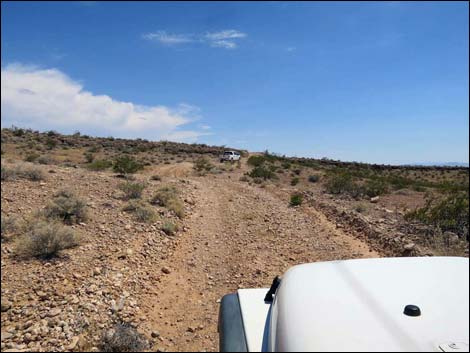
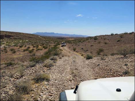
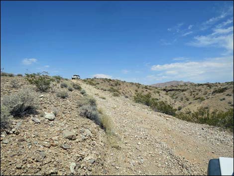
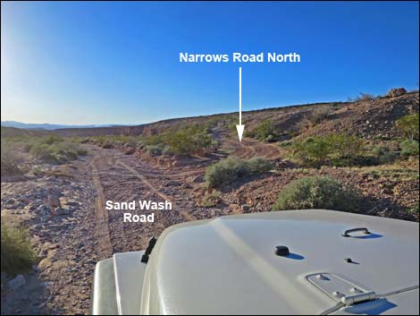
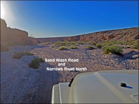
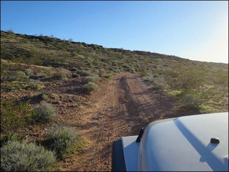
Still climbing steeply, the road makes a sharp, hairpin turn to the left and continues climbing steeply towards the top of the next "mesa." Just before reaching the top of the hill, another boundary sign marks the exit from Lake Mead NRA. Now running southeast, the road dips through one deep wash as it heads for the other side of this "mesa." At the far side of the mesa, Narrows Road North drops steeply into Sand Wash to connect with the North Fork of Sand Wash Road (Site 1763). Turning right, the road runs down the wash about 0.5 miles before turning sharply left (Site 1631) and climbing steeply out of the wash. The road climbs the cliffs out of the wash to an intersection with the South Fork of Sand Wash Road (Site 1632). |
 At the top of the hillside, there is a short step up (view S) |
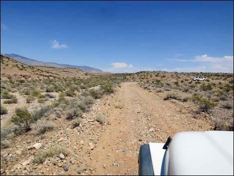
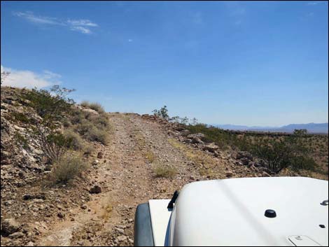
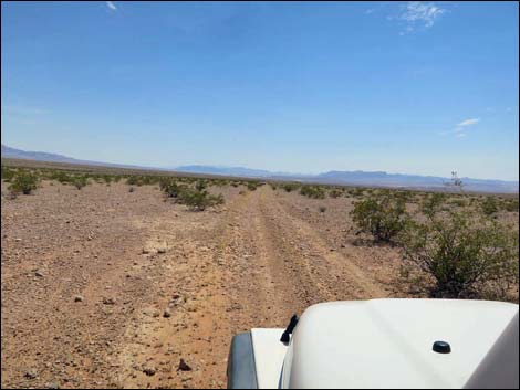
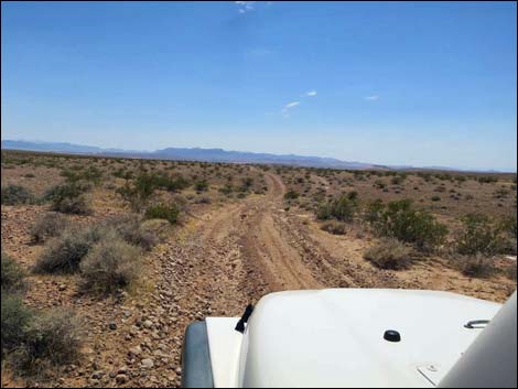
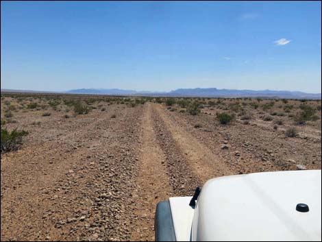
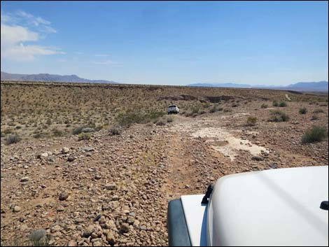
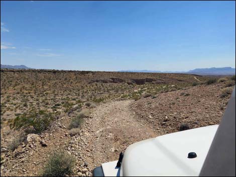
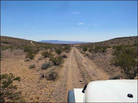
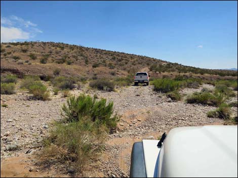
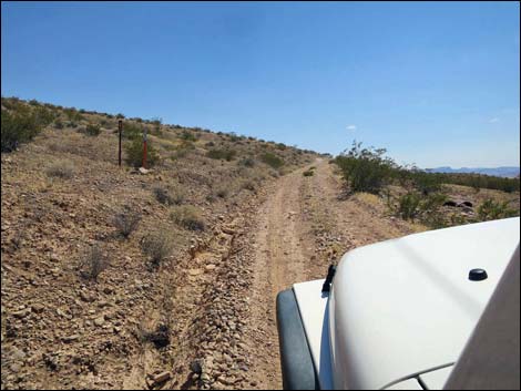
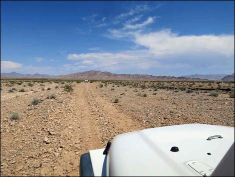
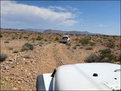
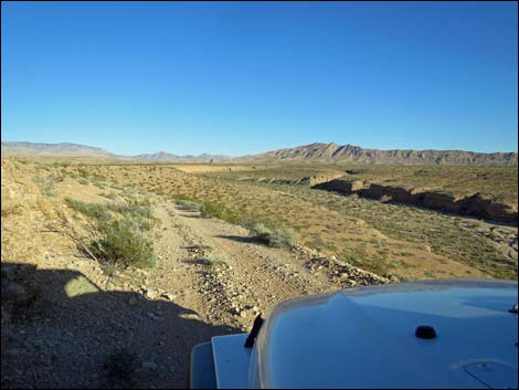
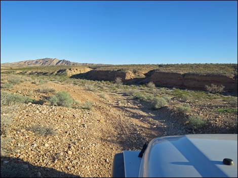
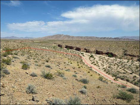
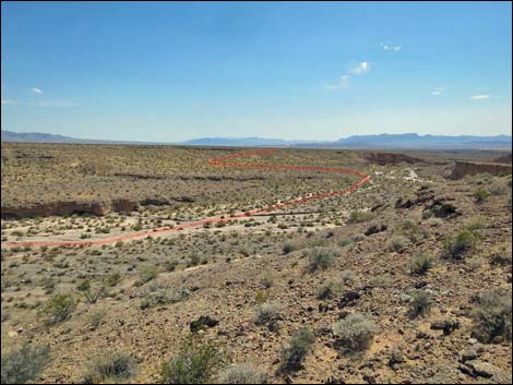
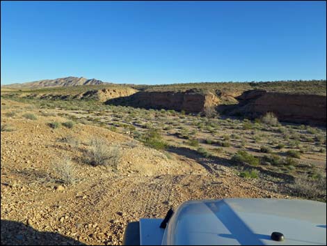
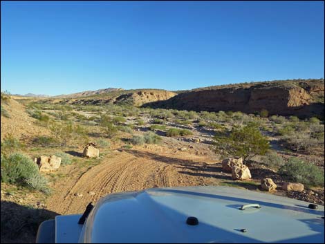
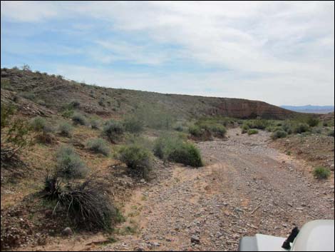
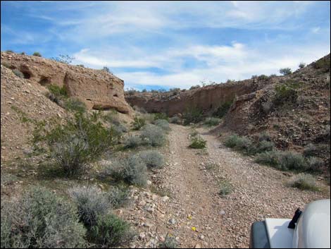
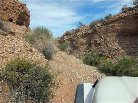
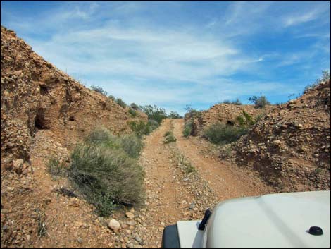
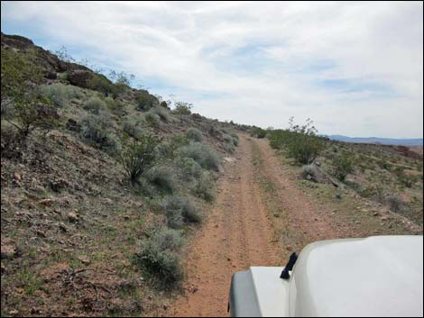
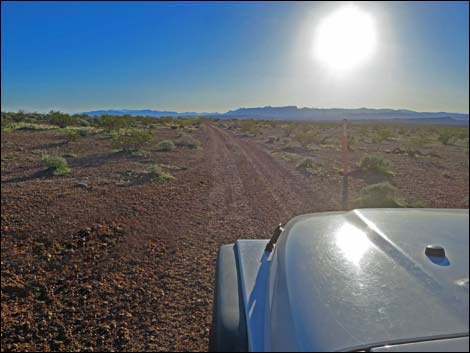
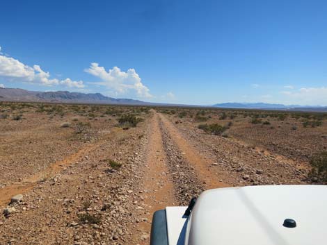
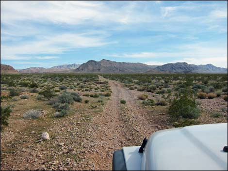
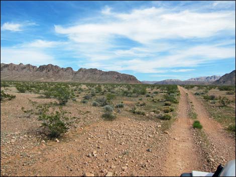
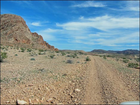
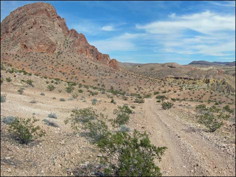
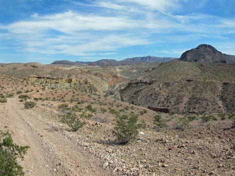
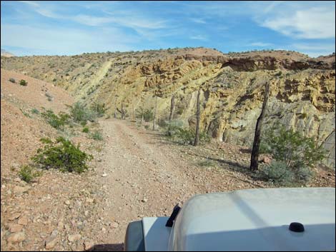
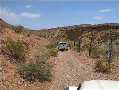
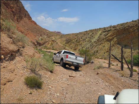
From Sand Wash Road (Site 1632), Narrows Road North continues south across the bajada. For about 3.5 miles, the road runs southeast across the bajada with grand views east to the high peaks of northern Gold Butte and to the south and west towards the Overton Arm of Lake Mead and mountains beyond. The vegetation is Mojave Desert Scrub dominated by sparse creosote bushes. At about 3.5 miles out, the road bends left around the edge of a towering cliff and becomes pinched between the wall above and the cliffs below. There is some historic fencing along the outside edge of the road, which provides some feeling of security, but it wouldn't stop a run-away vehicle. It would be difficult to back out from this area, so it might be worth getting out and walking the road to make sure it is passable. |
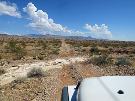
 Broad, flat bajada (view SW) |
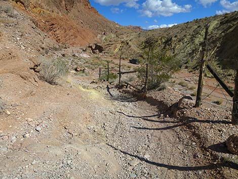
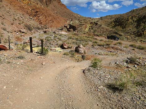
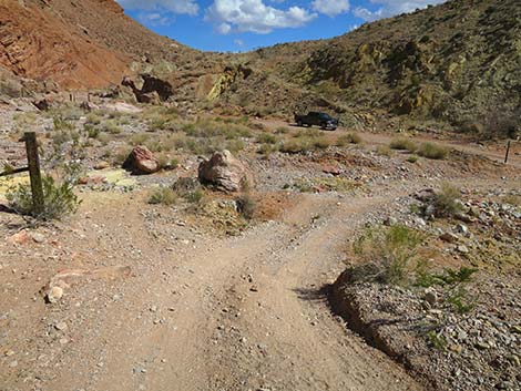
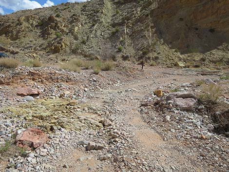
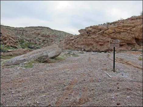
The road drops steeply into Mud Wash (Site 1633). In the wash, hikers can walk upstream, through a fence, into the Red Bluff Spring area. The BLM has been trying to restore the spring area, and the fence is intended to keep vehicles, cows, and feral burros out of the riparian area to let the vegetation recover. Unfortunately, thoughtless people keep cutting the fence. Drivers crush the vegetation, and livestock eats the rest, so the area isn't as nice as it could be for the plants and animals that live there. Tadpoles have a hard time with people who drive through their breeding pools too. Continuing downstream, Narrows Road North passes Gold Butte Wash Road (Site 1634), which branches to the left. Narrows Road North continues downstream and ends at the top end of Mud Wash Narrows (Site 1635). This is the trailhead for hikes down the narrows. |
 More broad, flat bajada (view SW) |
 Road dips through a shallow wash (view SW) |
 More broad, flat, sparsely vegetated bajada (view SW) |
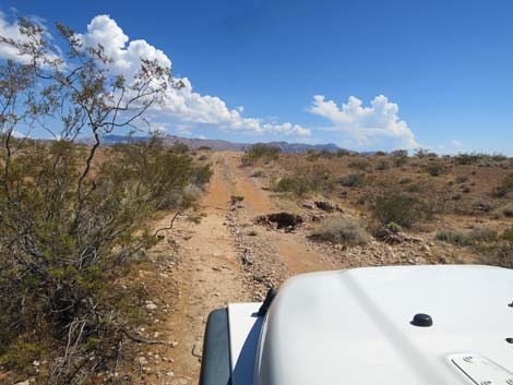
 Road begins to dip into the first deep wash (view SW) |
 The road is a bit steep, rocky, and tipped outward (view SW) |
 Below the slope, the road runs down towards the wash (view SW) |
 Running above the wash (view SW) |
 The road turns and dips across the wash (view SSW) |
 Flash flood debris in the wash (view SSW) |
 Climbing steeply towards Lake Mead boundary signs (view SW) |
 Lake Mead boundary signs (view SW) |
 The road bends steeply left, then climbs towards the crest (view E) |
 Approaching the crest of the hill and Lake Mead boundary signs |
 Lake Mead road number sign (view SE) |
 Atop the next bajada flats (view SE) |
 Crossing a shallow, but steep-edge wash (view SE) |
 Descending towards Sand Wash (view SE) |
 Descending towards Sand Wash; washout with bypass (view SE) |
 Trace of road into Sand Wash (view SE) |
 Trace of road down and out of Sand Wash (view SE) |
 Steep bypass to avoid the washout (view SE) |
 Arriving at the edge of Sand Wash (view SE) |
 Narrows Road North joins Sand Wash Road (view W) |
 Narrows Road North runs with Sand Wash Road (view W) |
 Designated road sign in Sand Wash (N Fork Sand Wash Rd; view SW) |
 Road in Sand Wash (N Fork Sand Wash Rd; view SW) |
 Road exiting Sand Wash (N Fork Sand Wash Rd; view SW) |
 Narrows Road North exiting Sand Wash (view S) |
 Sign: Narrows Road North exits Sand Wash (view S) |
 Side canyon out of Sand Wash (N Fork Sand Wash Rd; view SE) |
 Side canyon out of Sand Wash (N Fork Sand Wash Rd; view E) |
 Side canyon out of Sand Wash (N Fork Sand Wash Rd; view E) |
 |
 |
 Approaching top of Sand Wash hillside (view SW) |
 Re-entering Lake Mead NRA (view SW) |
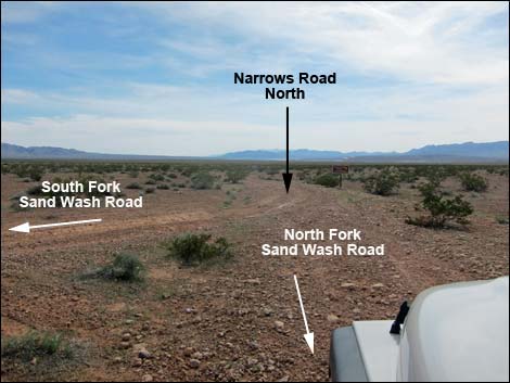 North Fork of Sand Wash Road at Narrows Road North (view S) |
 Narrows Road North sign (view S) |
 Narrows Road North sign (view S) |
 Departing the intersection (view S) |
 Approaching another wash channel (view SE) |
 Approaching yet another wash channel (view SE) |
 Approaching yet a washout (view SE) |
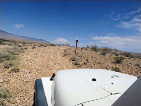
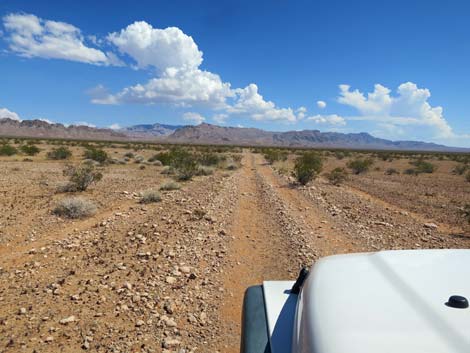 Long, straight road (view SE) |
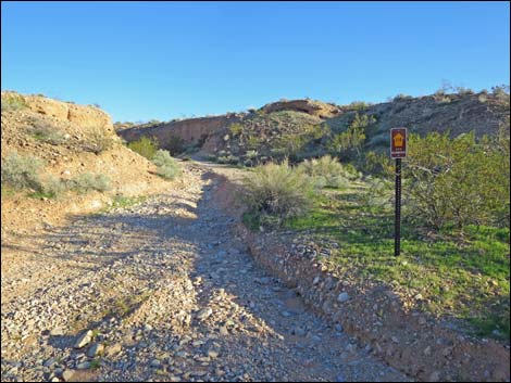
 Designated road sign (view SE) |
 Looking back at designated road sign (view NW; NPS Road 114) |
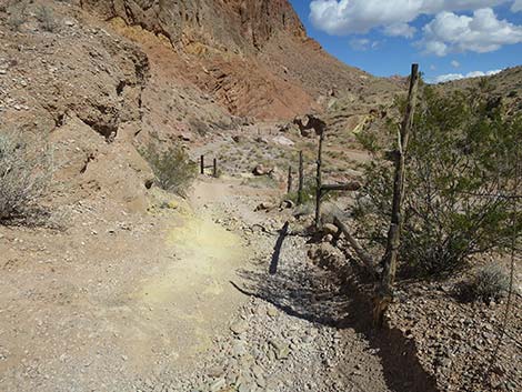
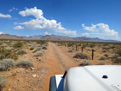 Post-and-cable fence (view SE) |
 Another washout (view SE) |
 |
 |
 Bending left into Mud Wash (view SE) |
 Dropping towards Mud Wash (view SE) |
 Signs announce leaving Lake Mead NRA (view SE) |
 Dropping towards Mud Wash (view SE) |
 Mud Wash (view SE) |
 Really starting down into Mud Wash (view E) Really starting down into Mud Wash (view E) |
 Historic fencing along edge of the cliff (view E) |
 Historic fencing along edge of the cliff (view E) |
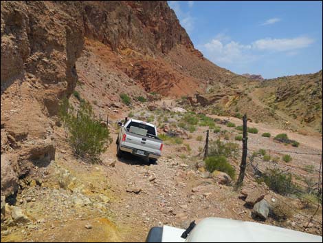
 Truck starting into the hard part (view E) |
 Rocks and tilted outward (view E) |
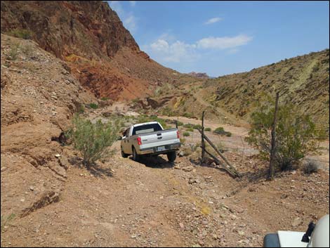 Truck in the hard part (view E) |
 Descending steep, narrow road towards Mud Wash (view E) |
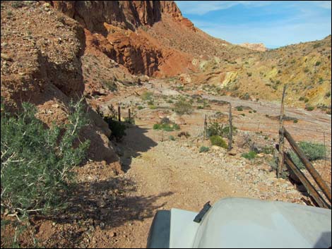 Descending steep, narrow road towards Mud Wash (view E) |
 Approaching end of Narrows Road North (view E) |
 Road conditions improve past the rocky cliff (view E) |
 Road turns down steep hillside (view W) |
 This turn bypassed the previous too-tight turn (view S) |
 Descending into Mud Wash (view SE) |
 Arriving in Mud Wash (view SE) |
 Note that the designed road turns right to return to Whitney Pocket |
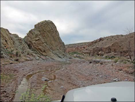
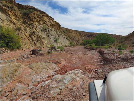 Mud Wash (view W down Mud Wash; spring) |
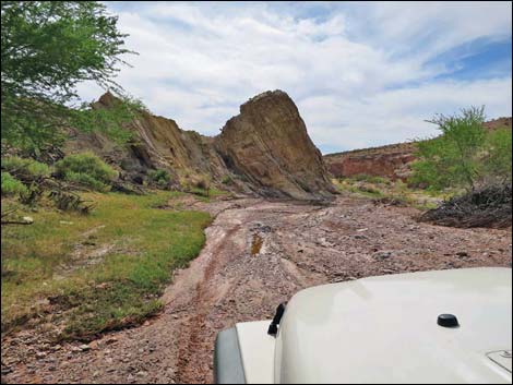 Road runs down muddy wash (view W; spring) |
 Road runs in water from Red Bluff Spring (view W; winter) |
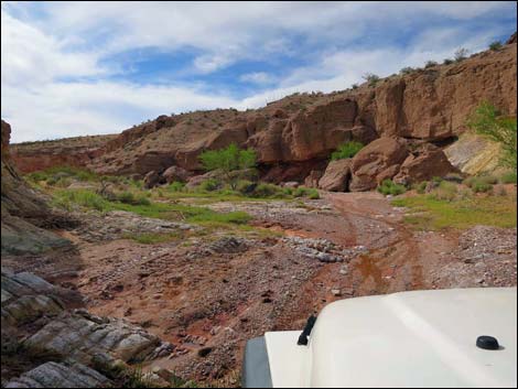 Road runs in water from Red Bluff Spring (view W; spring) |
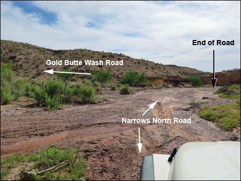 Narrows Road North approaching Gold Butte Wash Road (view W) |
 End of Narrows Road North (view W) |
Table 1. Highway Coordinates Based on GPS Data (NAD27; UTM Zone 11S). Download Highway GPS Waypoints (*.gpx) file.
| Site | Location | UTM Easting | UTM Northing | Elevation (ft) | Point-to-Point Distance (mi) | Cumulative Distance (mi) | Verified |
|---|---|---|---|---|---|---|---|
| 1762 | Fisherman Cove Rd at Narrows Road North | 744074 | 4045862 | 1897 | 0.00 | 0.00 | GPS |
| 1763 | Narrows Road North at Sand Wash | 743209 | 4043003 | 1565 | 2.70 | 2.70 | GPS |
| 1631 | Sand Wash Road exits wash | 742660 | 4042813 | 1511 | 0.38 | 3.08 | GPS |
| 1632 | Sand Wash Road at Narrows North Road | 742553 | 4042511 | 1571 | 0.33 | 3.41 | GPS |
| 1633 | Narrows Road North at Mud Wash | 745695 | 4038334 | 1574 | 3.53 | 6.94 | GPS |
| 1634 | Narrows Road North at Gold Butte Wash Road | 745549 | 4038288 | 1556 | 0.13 | 7.07 | GPS |
| 1635 | Narrows Road North at Narrows Trailhead | 745462 | 4038279 | 1556 | 0.07 | 7.14 | Map |
Happy Hiking! All distances, elevations, and other facts are approximate.
![]() ; Last updated 240326
; Last updated 240326
| Backroads Around Las Vegas | Hiking Around Las Vegas | Glossary | Copyright, Conditions, Disclaimer | Home |