Backroads Around Las Vegas, Gold Butte
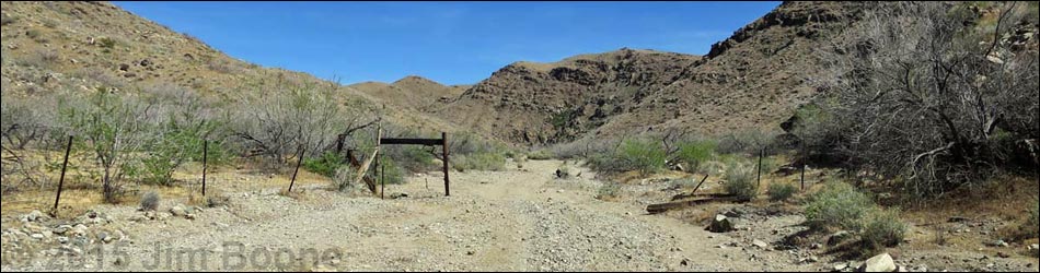
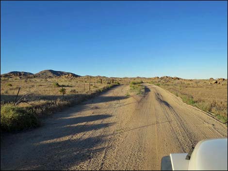
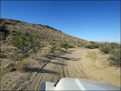
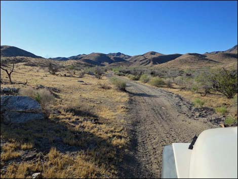
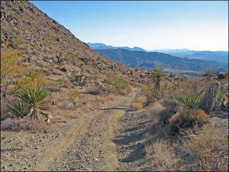
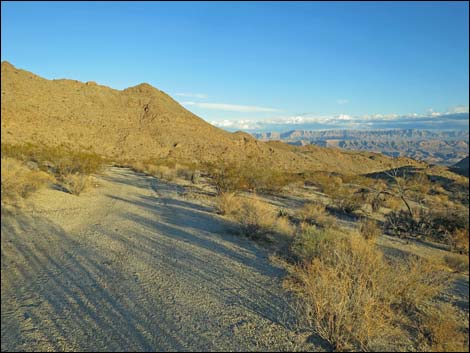
 Gold Butte Road, approaching intersection (view SW) |
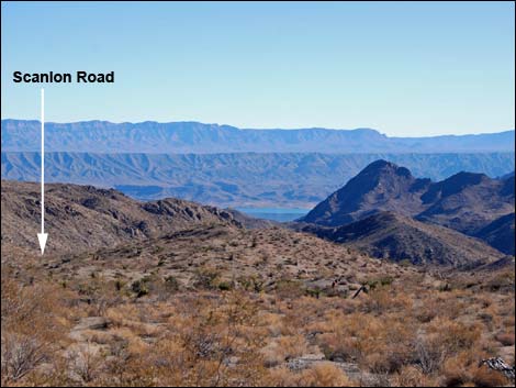
Overview Scanlon Road, also called Scanlon Ferry Road and Scanlon Bay Road, is located out at the far southwest end of Gold Butte. The road, which runs from the historic Gold Butte Townsite to the historic Scanlon Ferry Colorado River Crossing (now the edge of Lake Mead), traverses spectacular country and the oh-my-God Scanlon Dugway. This is an historic land with a whole lot of grand scenery. Scanlon Road is dying from neglect. Northern portions of the road are passable in a 2WD high-clearance vehicle, but farther south, it becomes 4WD only because the road is completely washed out in places and other parts are sandy. Drivers have created a bypass at the worst of the washouts, but it too requires 4WD. Scanlon Dugway is suitable only for ATVs and rockhopper-type vehicles, or on foot. From Gold Butte Townsite, the road runs 14.6 miles to the top of Scanlon Dugway, and from there it runs another 6.8 miles to the edge of Lake Mead. Link to Scanlon Road Map. See also Gold Butte Overview Map. |
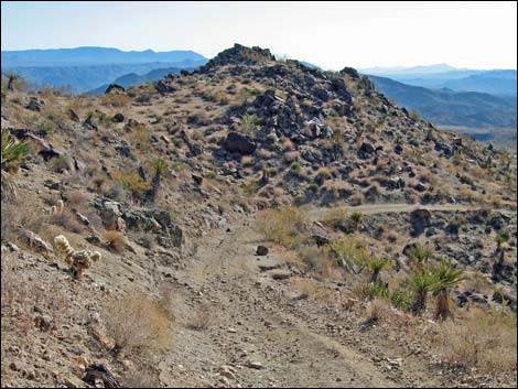
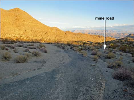
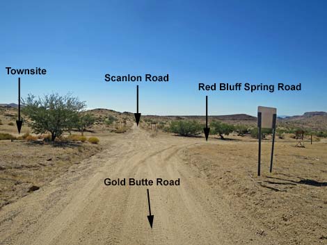 Intersection of Gold Butte Road, Red Bluff Spring Road, Scanlon Road, and spur to Gold Butte Townsite (view SW) |
The road is described here heading south, but for photos of the road heading north, see Scanlon Road - Northbound Watch Out Other than the standard warnings about driving in the desert, ... this is a wild and remote area without services of any kind (no restrooms, no water, no gas, no food). Bring what you need to survive. Be prepared and be self-reliant. It is a big place, but someone will eventually find you if you stay on a main road, but be prepared to survive alone for a day or two, or even longer on side roads. For help, consider signaling the tourist helicopters that traverse the area coming and going from the Grand Canyon. While out, please respect the land and the other people out there, and try to Leave No Trace of your passage. Also, this is a remote area, so be sure to bring the 10 Essentials. |
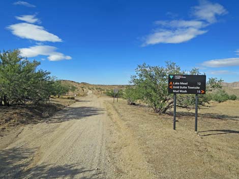
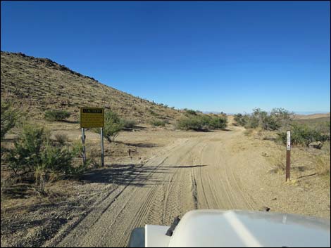
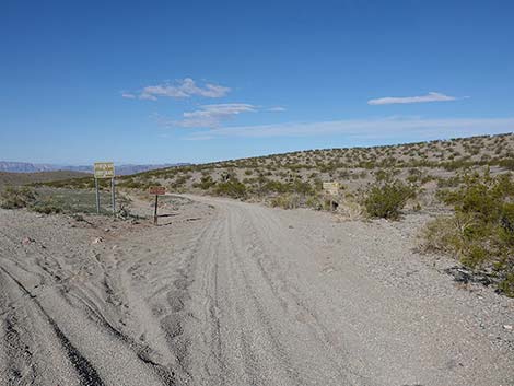
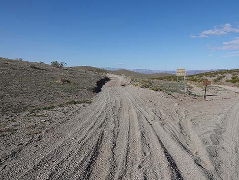
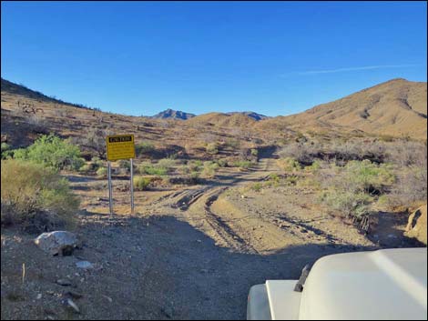
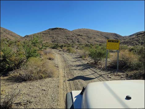
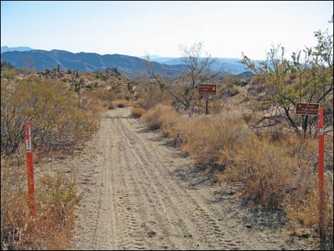
 Road signs at start of Scanlon Road (view SW) |
Getting to Scanlon Road Scanlon Road and the infamous Scanlon Dugway are located out in Gold Butte at the northeast end of Lake Mead, about 4.5 hours northeast of Las Vegas. From town, drive out to Gold Butte. Drive south on the paved Gold Butte Road 21 miles to Whitney Pocket where the pavement ends. Continue south on the scenic unpaved Gold Butte Road for 20 miles to Gold Butte Townsite and a signed intersection with Red Bluff Spring Road on the right. A spur road left leads into Gold Butte Townsite. At this intersection, Gold Butte Road ends. The road that continues straight is Scanlon Road. |
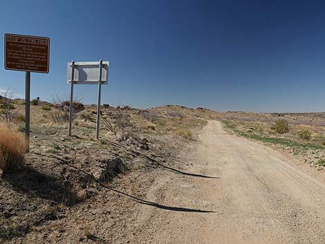 Sign: Info about Tramp and Fork Fires (view SW) |
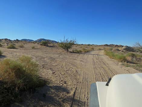
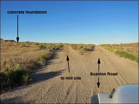
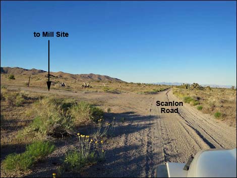
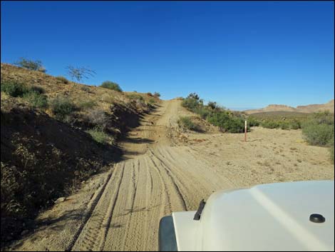
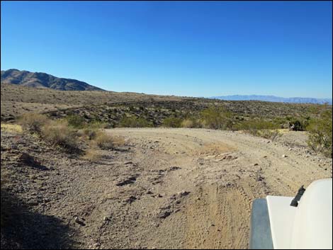
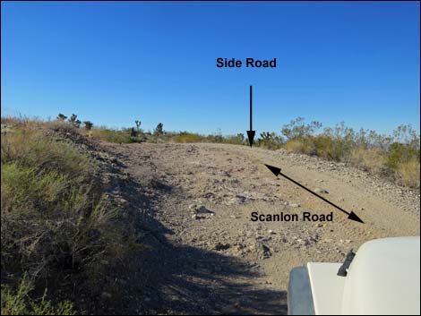
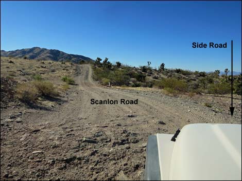
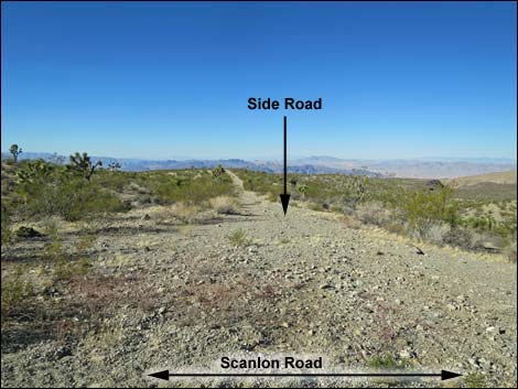
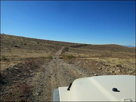
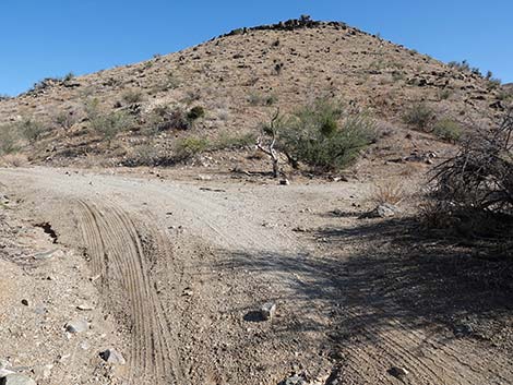
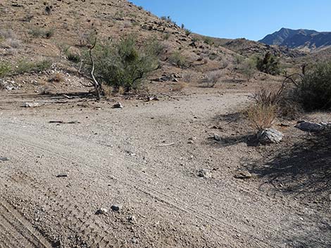
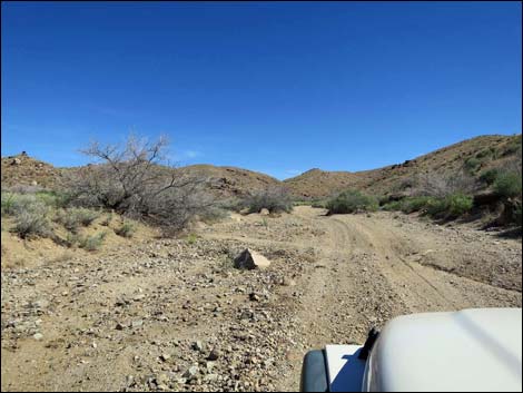
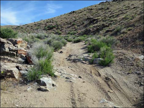
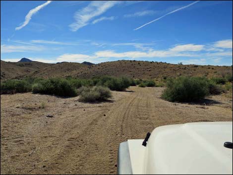
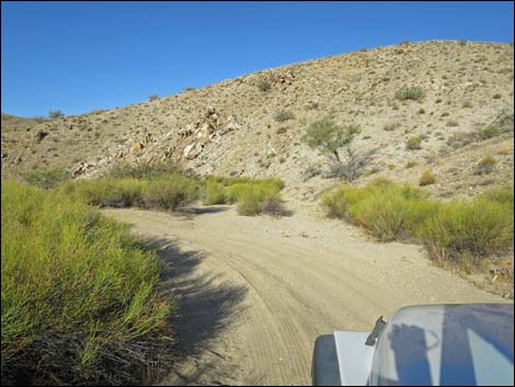
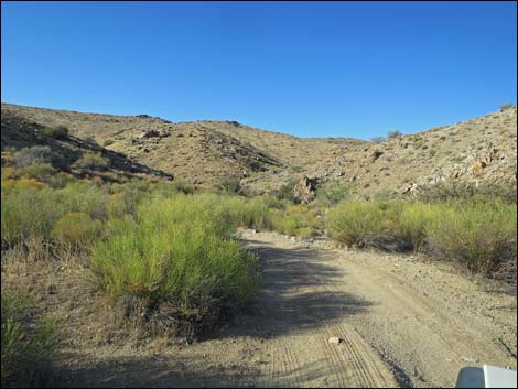
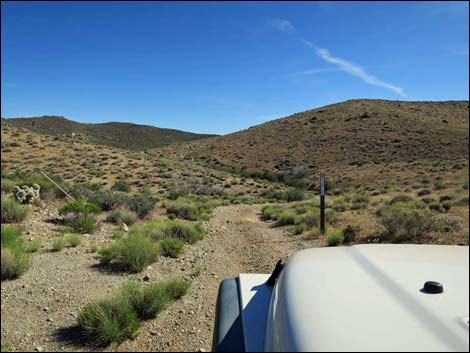
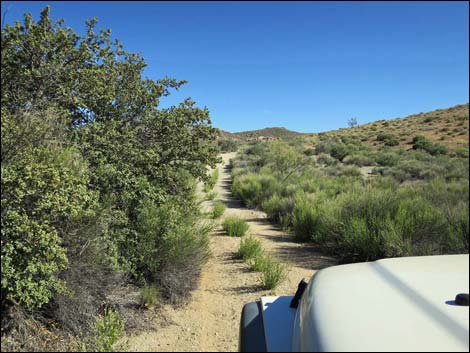
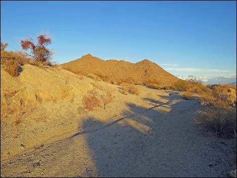
The Road Gold Butte Road ends at Gold Butte Townsite, or more specifically, at the turnoff to Red Bluff Spring (Site 0806). Red Bluff Spring Road is part of the Gold Butte Backcountry Byway. Passing the intersection, the main road continues straight (southwest) as Scanlon Road. At about 0.3 miles out, the road appears to fork (Site 1703), but actually a side road turns left and the forks rejoin. This side road can be used to drive south into northern parts of Cedar Basin on Radio Crystal Mine Road. At about 0.6 miles out, the road forks (Site 1704). Scanlon Road stays straight (right), while a lesser road bends left and runs up to an old concrete foundation of the Gold Butte Mill Site. This side road (about 0.2 miles long) loops back to Scanlon Road. At about 0.8 miles out, a side road turns left (Site 1705). Scanlon Road continues straight (right) while the lesser road turns left and runs back up to Gold Butte Mill Site. This is the other end of the loop. |
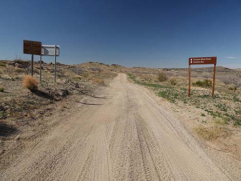
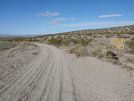
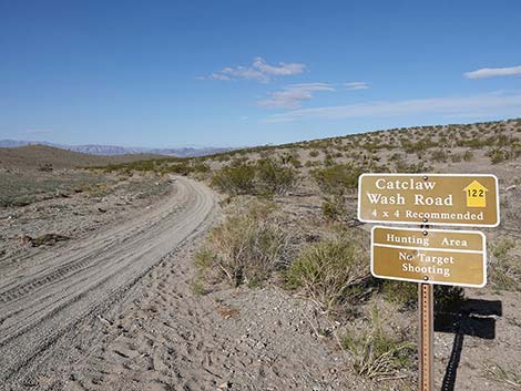
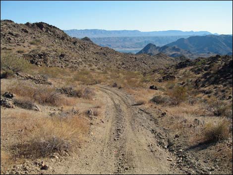
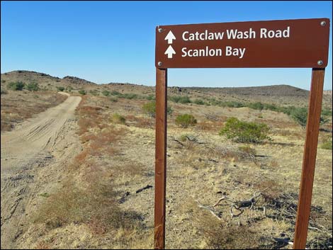 Directional sign for Catclaw Wash Road and Scanlon Bay (view W) |
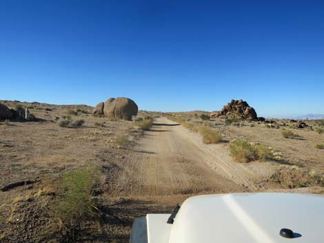
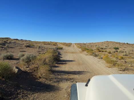
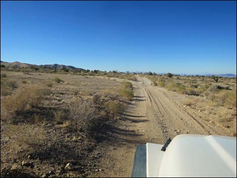
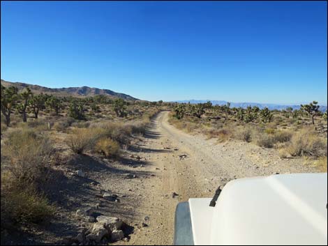
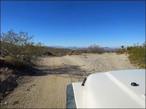
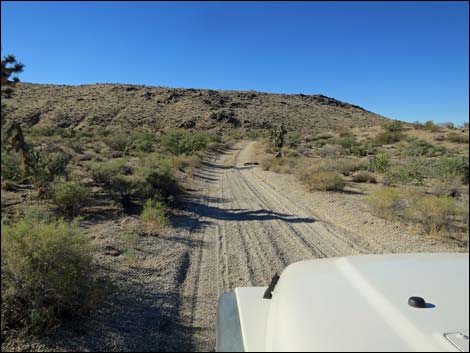
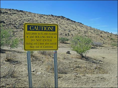
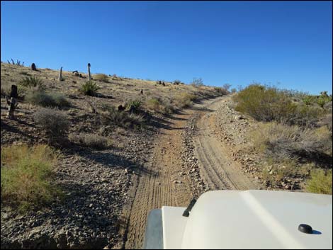
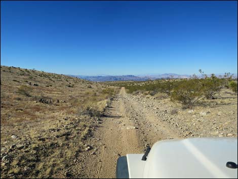
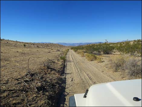
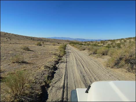
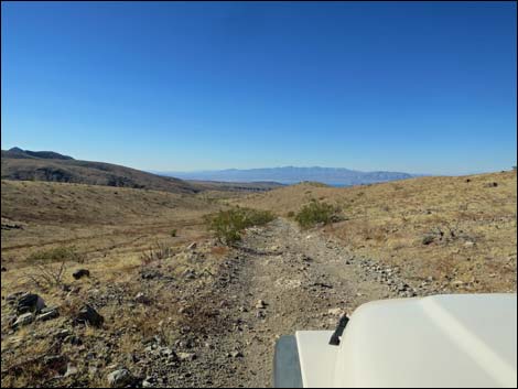
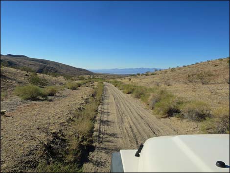
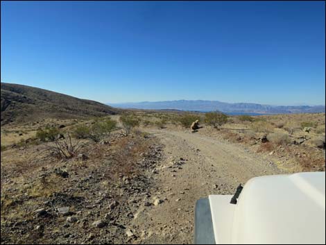
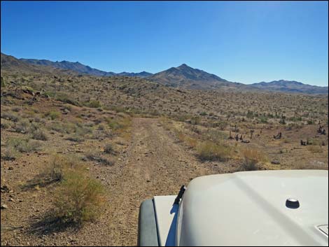
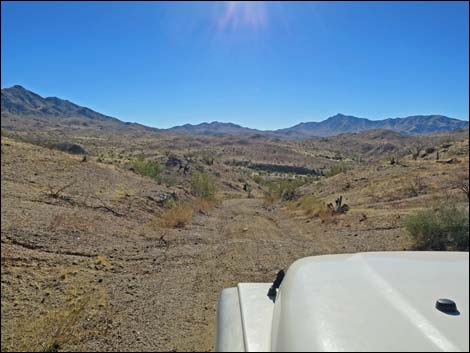
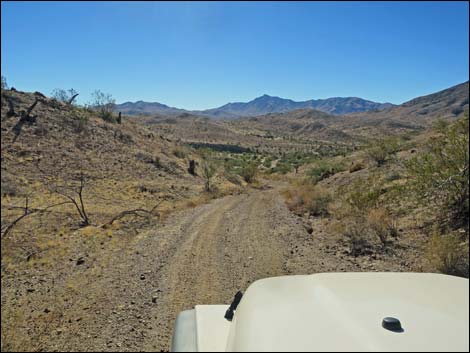
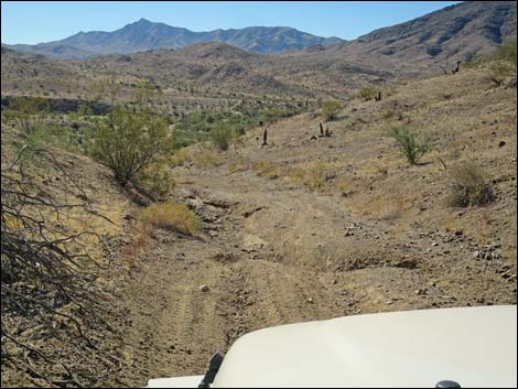
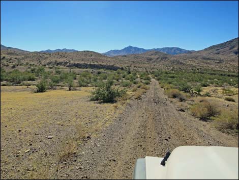
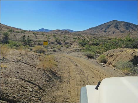
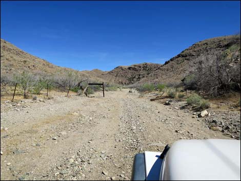
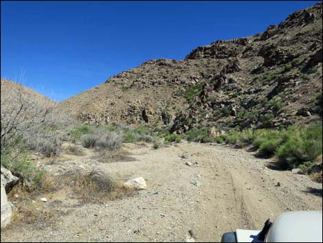
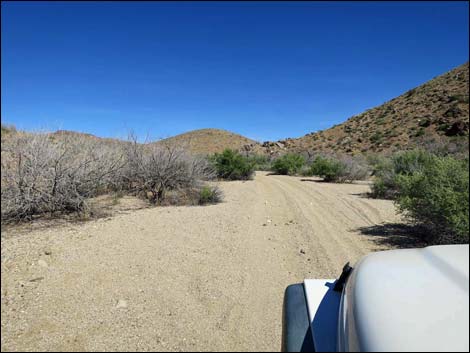
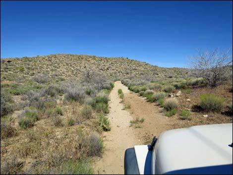
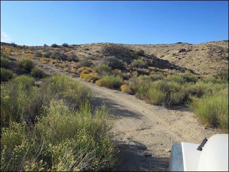
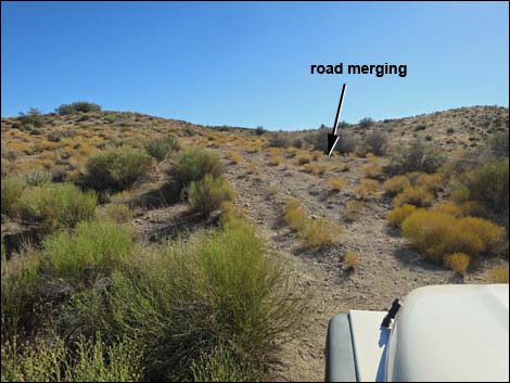
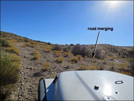
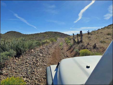
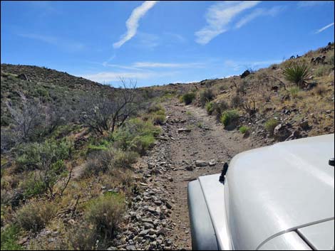
Continuing on Scanlon Road, at about 1.0 miles out, the road forks (Site 1706). Scanlon Road continues straight (right) while the lesser road turns left and runs up the gentle hillside. This road, Cedar Basin Shortcut Road, runs southwest and connects with roads that lead into Cedar Basin. At about 1.4 miles out, the road forks (Site 1707). Scanlon Road stays straight (left) and starts down a hillside, while a lesser road bends right and runs west along a ridgeline. This side road connects with roads that can be used to reach the Overton Arm of Lake Mead. Scanlon Road stays left and runs down across the hillside and drops into Quail Springs Wash (Site 1708; 1.9 miles out). A sign announces the danger of flashfloods, and here Cedar Basin Road turns left up Quail Springs Wash. This is the main road providing access to Cedar Basin and destinations such as Jumbo Peak and northern parts of Jumbo Springs Wilderness Area. |
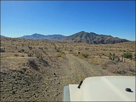
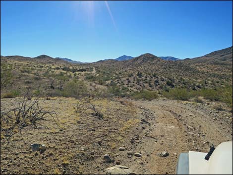
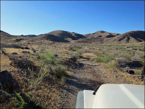
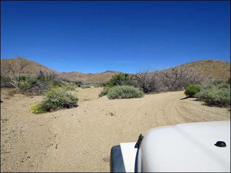
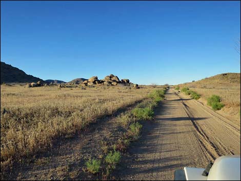 Crossing Gold Butte Townsite flats area (view SW) |
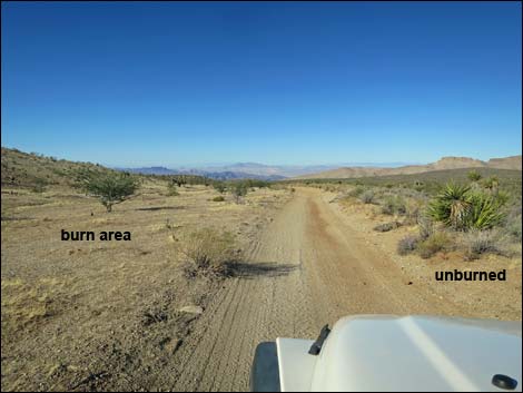
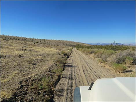
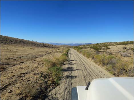
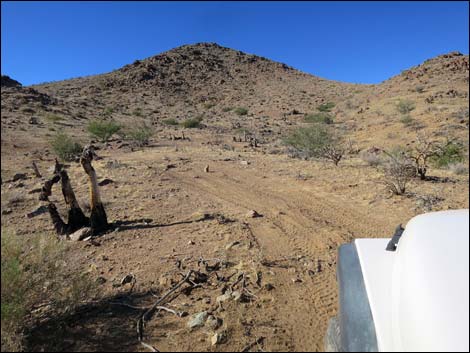
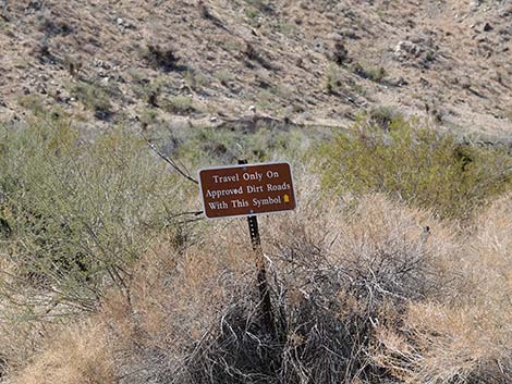
From Quail Springs Wash, Scanlon Road continues across the wash and runs up onto the far hillside. Scanlon Road more-or-less runs on the contour around hillsides and through washes. In this area, fires burned the southeast (left) side of the road, but fire crews saved the other side; although some shrub species are growing back, the contrast is striking. Several obscure, minor roads turn right in this area, and one road turns left (Goat Camp Wash Road; Site 1720), but the main road is obvious and stays straight along the edge of the burn area. Winding across hillsides following the edge of the burn, Scanlon Road eventually reaches a major, signed fork (Site 1721; 4.1 miles out). One sign reads "Overton Arm" with an arrow to the right, and "Jeep Trail" with an arrow to the left. A second sign reminds drivers to stay on approved roads, and a third sign announces Catclaw Wash Road (Road 122). Scanlon Road stays left onto the "Jeep Trail," while Catclaw Wash Road continues west along the edge of the burn zone and runs out to the Overton Arm of Lake Mead. |
 |
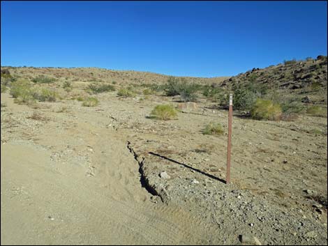
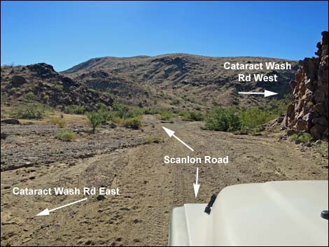
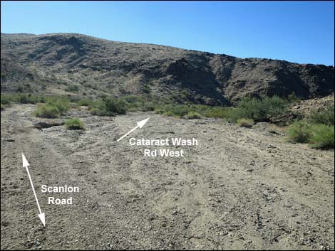
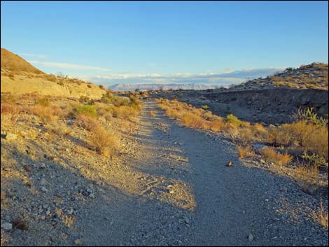
Scanlon Road runs gradually up and over a ridge, then drops towards the broad and sandy Goat Camp Wash. Entering the wash adjacent to an isolated rocky peaklet, Scanlon Road follows the wash downhill about 150 yards to a confluence with Cataract Wash. When Scanlon Road first enters Goat Camp Wash, Cataract Wash Road East turns left and runs up the sandy Goat Camp Wash for several hundred yards to end at a pour-over. After running down the wash for about 100 yards, Scanlon Road forks. Cataract Wash Road West (Site 1722; 5.2 miles out) forks to the right and runs down Cataract Wash about 3 miles to end at a pour-over. The fork is a bit obscure because the area is a sandy wash with lots of trees. |
 Road appears to fork before side-road left (view SW) |
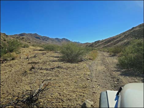
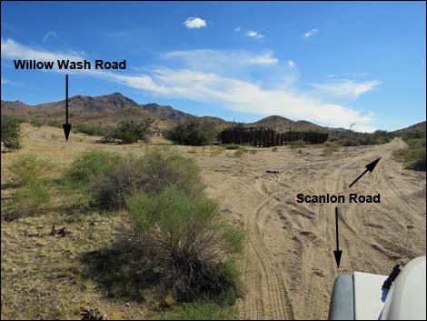
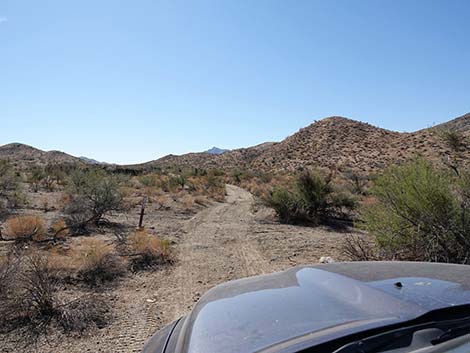
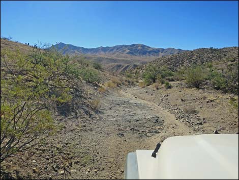
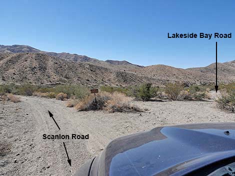
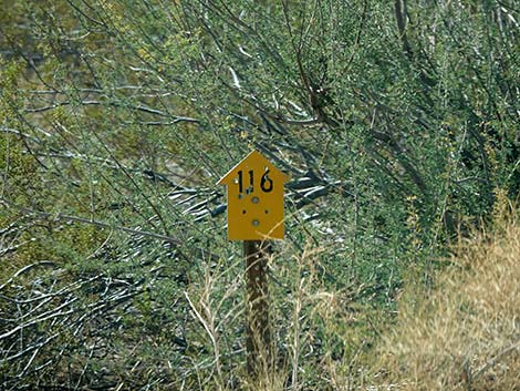
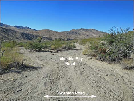
Scanlon Road follows Cataract Wash uphill, then leaves that wash and runs up over a low saddle (6.1 miles out), and eventually drops to cross Willow Wash (6.8 miles out). Just across the wash, Willow Wash West Road turns right and runs downhill 2.4 miles to connect with Cataract Wash Road. A few yards farther along Scanlon Road, Willow Wash Road East turns left (Site 1723) just before Willow Wash Corral, which was made with railroad ties (on the left). Scanlon Road runs up over another saddle, then drops into Rattlesnake Wash (8.4 miles out). Rattlesnake Wash Road runs down the sandy wash about 2 miles, then abruptly cuts right, climbs out of the wash, and runs up to an historic water tank and watering trough. Climbing over the next low ridge, Scanlon Road drops into Twin Springs Wash (Site 1724; 9.2 miles out), where it passes Lakeside Bay Road (Road 121) on the right. Lakeside Bay Road runs some 8 miles to Lakeside Bay Mine and the Overton Arm of Lake Mead, while Scanlon Road (now signed "Road 116") stays left and runs up Twin Springs Wash. |
 |
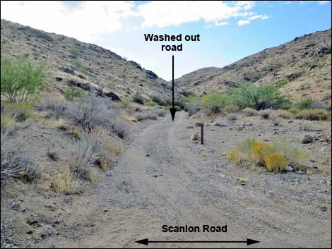
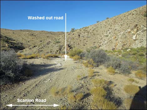
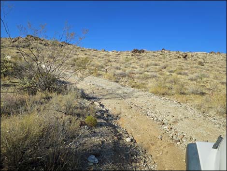
In Twin Springs Wash, the road deteriorates quickly because flash floods over the years have washed away all signs of the original road. Since the floods, drivers have pounded out a two-track road, but it still looks like a wash rather than a road. Continuing up Twin Springs Wash, at about 9.8 miles out, Garnet Valley Road (Site 1725) forks off to the right. This little-used road runs southwest through a canyon choked with catclaw acacia. The road winds among the bushes and crosses the wash several times, the effect of which will do a good job of applying desert pin-striping to any vehicle that passes through. This road provides access to Ruby Spring (mostly dry) the trailhead for Bonelli Peak, and old mine sites on the south end of Garnet Ridge. |
 |
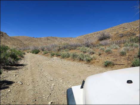
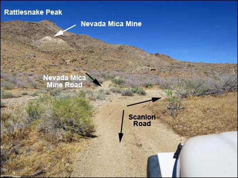
Continuing southeast on Scanlon Road, still in Twin Springs Wash, the canyon narrows. At the first sharp bend, the road passes below Turkey Spring (Site 1728; 10.4 miles out). A bit of green on the right cliff reveals the presence of moisture, but in historic times, this spring provided teamsters and their mules a shady place to rest and a drink of cool, fresh water. As elsewhere, another sign of our changing climate. Past Turkey Spring and a tight rocky spot in the wash, Twin Springs Canyon widens and the road climbs out of the bottom of the wash. As the road drops back into Twin Springs Wash (11.3 miles out), a little-used road can be see across the wash heading towards rusted-out vehicles on the far hillside and a mine high on the mountain (Rattlesnake Peak). This is Nevada Mica Mine Road (Site 1729), which runs 0.6 miles to the mine site. The road is a bit narrow and ragged towards the top, and beyond the rusty vehicles it is best hiked or driven on an ATV. The amount of mica at the quarry is extraordinary, and the old vehicles are interesting. |
 |
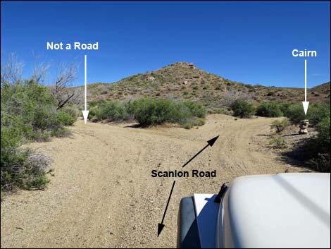
At about 12.5 miles out, Twin Springs Wash forks (Site 1731), and roads run both ways. What appears to be the better road stays left up Twin Springs Wash, but Scanlon Road bends right, bearing to the southeast into the South Fork of Twin Springs Wash. At about 12.8 miles out, the main road bends hard to the left at a point where a now-obscure minor road branches to the right (Site 1732). Here, the minor road used to be the main road, but flooding exposed boulders that made the route much more difficult. Now, Scanlon Road uses alternative roads to bypass the boulders in the South Fork of Twin Springs Wash. Staying left, Scanlon Road runs up a side canyon. At about 13.0 miles out, the road forks (Site 1733). A large cairn on the right indicates Scanlon Road; the wash to the left is a legal road up a wash. In another 0.1 miles, the road passes over a rocky spot in the wash, but it isn't as bad as it looks. Scanlon Road winds up the canyon heading generally southeast and eventually climbs out the top of the canyon, crosses a low saddle, and drops into a broad, shallow valley: Jumbo Basin. |
 Road forks: mill site loop to the left (view SW) |
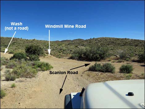
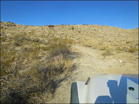
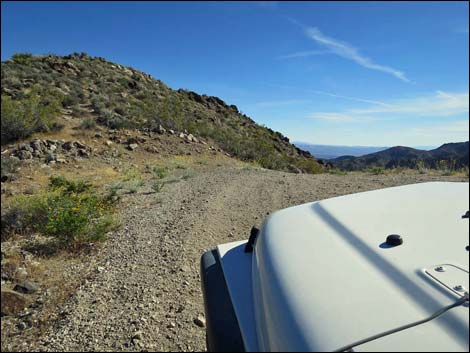
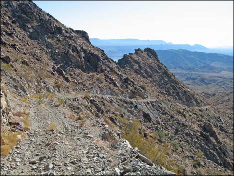
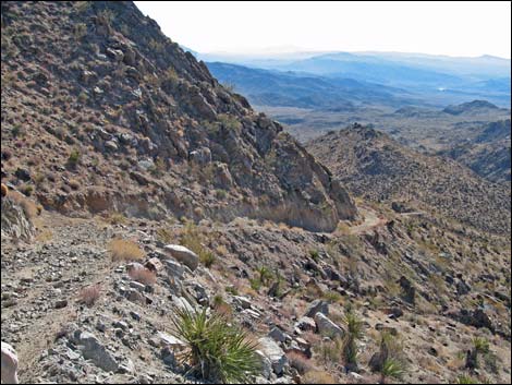
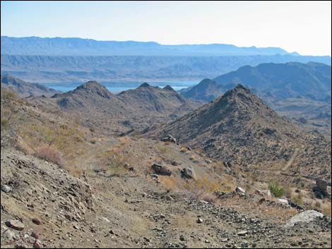
The road drops as if to cross a broad, sandy wash, which is again the South Fork of Twin Springs Wash (Site 1734; 13.8 miles out). Here, however, Scanlon Road turns right to run down the sandy wash. The road that continues straight across the wash is Windmill Mine Road. The mine site has a few interesting structures, and this road provides access to southern parts of Jumbo Springs Wilderness Area. The left turn, up the sandy wash, is not a legal road. Scanlon Road runs down the sandy wash for about 0.3 miles. The road unexpectedly bends sharply to the left, leaves the wash, and begins to climb straight up a steep hillside. A few yards above the wash, a side road (Site 1738) forks hard to the right. This is the other end of the bypass for the washed-out South Fork of Twin Springs Wash. Scanlon Road continues straight up the steep hillside. Scanlon Road climbs the steep hillside, then runs generally south at more gentle grades. The road runs south, then west, and turns sharply left to climb southward onto a sharp saddle (Site 1739; 14.6 miles out) with a grand view down into the Lake Mead region. On the saddle, space is available to park 2-3 vehicles without blocking the road. This is the top of Scanlon Dugway and a trailhead for getting into the Jumbo Spring Wilderness Area. |
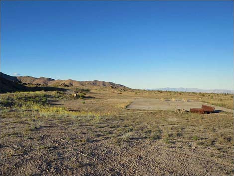 Concrete foundation at mill site (view W) |
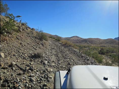
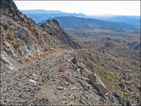
For those intending to hike, park here; otherwise lock in the hubs, put the rig in 4-low, and ease over the edge. The road is narrow, steep, and covered with loose gravel and big rocks from landslides and washouts. For details of the next 2 miles, see Scanlon Dugway, in which the hike is described. In another 1.5 miles, the road enters Lake Mead National Recreation Area (Site 1740), and in 2.0 miles, arrives at Lakeshore Mine (Site 1741). After passing the Lakeshore Mine area, Scanlon Road continues southwest another 4.8 miles to the edge of Lake Mead (Site 1742). Below the mine, the road deteriorates considerably and just runs down washes. |
 Mill site loop returns from the left (view SW) |
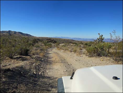
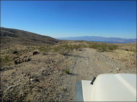
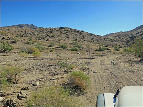
 Scanlon Road approaching Cedar Basin Shortcut Road (view SW) |
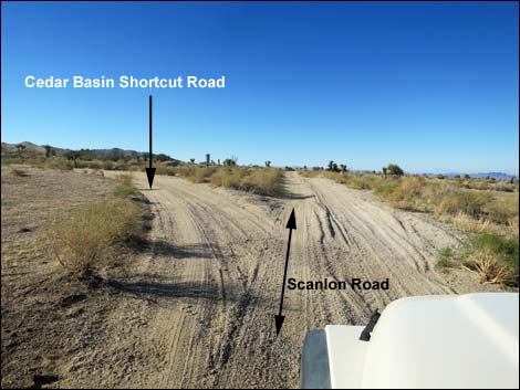 Scanlon Road at Cedar Basin Shortcut Road (view SW) |
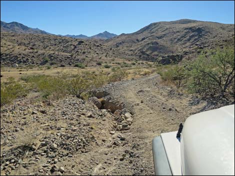
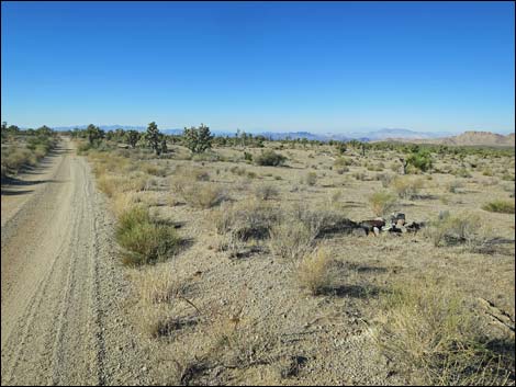 Possible grave site (view SW) |
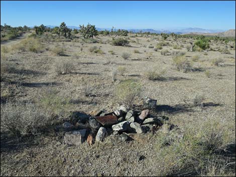 Possible grave or a pile of rocks? (view SW) |
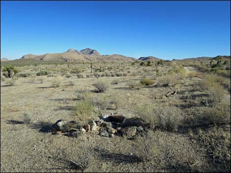 Looking back at possible grave site (view NE) Looking back at possible grave site (view NE) |
 |
 |
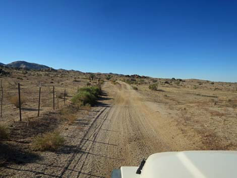
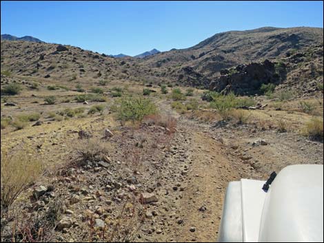
 Scanlon Road at side road right (view SW) |
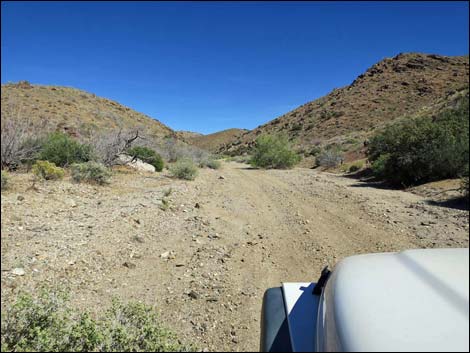
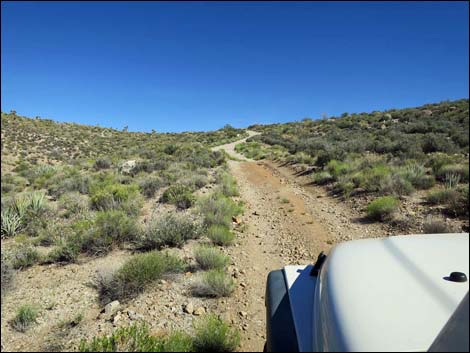
 Scanlon Road (view SW) |
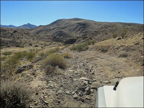
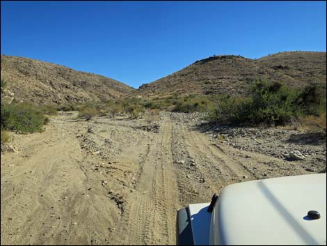
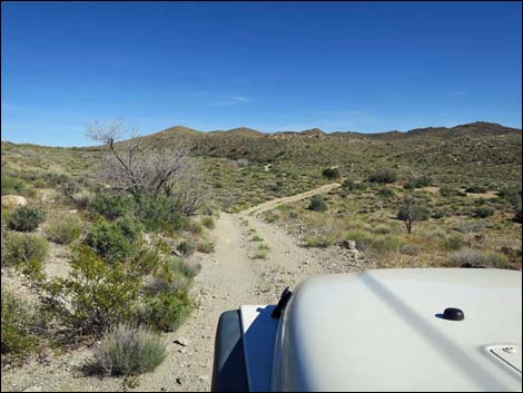
 Scanlon Road approaching Quail Spring Wash (view SW) |
 Scanlon Road at Cedar Basin Road (view SW) |
 Flash flood warning sign at Cedar Basin Wash Road (view SW) |
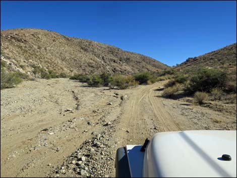
 Scanlon Road exiting Quail Spring Wash (view SW) |
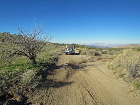
 Scanlon Road was used as a fire line (view SW) |
 This is a wash, not a side road (view SW) |
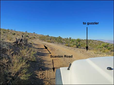 Scanlon Road at side road to quail guzzler (view SW) |
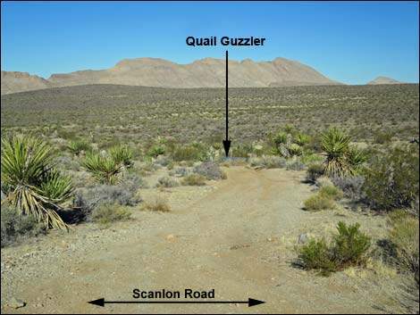 Side road to quail guzzler (view SW from Scanlon Road) |
 |
 |
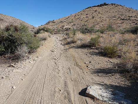
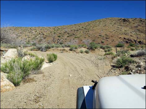
 Scanlon Road (view W) |
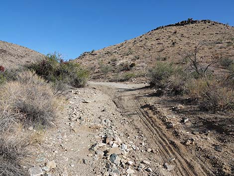
 Scanlon Road approaching side road right (view SW) |
 Scanlon Road at side road right (view SW) |
 Side road right (view W from Scanlon Road) |
 Scanlon Road (view S) |
 Scanlon Road (view S) |
 Scanlon Road dividing burned and unburned areas (view S) |
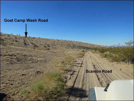 Scanlon Road approaching Goat Camp Wash Road (view SW) |
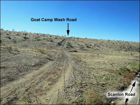 Goat Camp Wash Road (view S from Scanlon Road) |
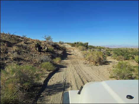 Scanlon Road (view W) |
 |
 |
 |
 |
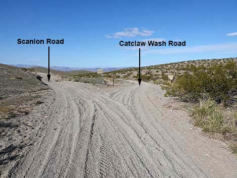 Scanlon Road approaching Catclaw Wash Road (view W) |
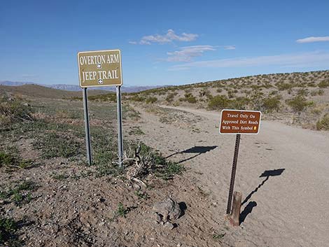 Signs at Scanlon Road -- Catclaw Wash Road intersection (view W) |
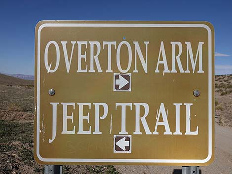 Overton Arm is Catclaw Wash; Jeep Trail is Scanlon Road (view W) |
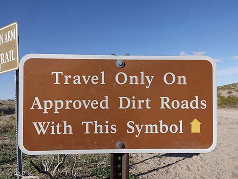 Drive only on existing, marked roads (view W) |
 Forking towards Catclaw Wash (view W) |
 Start of Catclaw Wash Road (view W) |
 Signs at start of Catclaw Wash Road (view W) |
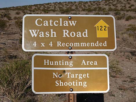 Signs at start of Catclaw Wash Road (view W) |
 Staying left on Scanlon Road (view W) |
 Scanlon Road continues through the burn area (view SW) |
 Scanlon Road dropping across gentle hillside (view SW) |
 Scanlon Road continues across the burn area (view SW) |
 |
 |
 |
 |
 Scanlon Road descending towards Cataract Wash Rd (view S) |
 Scanlon Road descending towards Cataract Wash Rd (view S) |
 Scanlon Road descending towards Cataract Wash Rd (view S) |
 Scanlon Road at Cataract Wash Rd East (view S) |
 Cataract Wash Rd East (view NE from Scanlon Road) |
 Scanlon Road passing Cataract Wash Rd East (view S) Scanlon Road passing Cataract Wash Rd East (view S) |
 Scanlon Road at Cataract Wash Rd West (view S) |
 Scanlon Road (view S) |
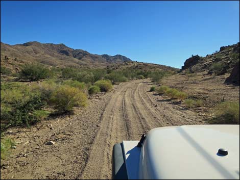 Scanlon Road (view S) |
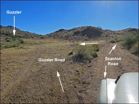 Scanlon Road at Guzzler Road (view S) |
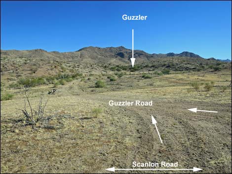 Guzzler Road (view E from Scanlon Road) |
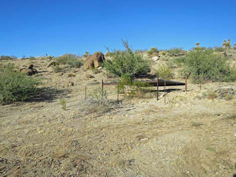 Guzzler on short spur road (view NE) |
 Start of the worst washouts (view S) |
 Nearing the worst washouts (view S) |
 Entering of the worst washouts (view S) |
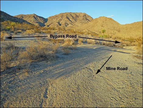
 Worst washouts and old bypass; new bypass on left (view S) |
 Bypass route on right side of wash (view SW) |
 Bypass route on right side of wash (view S) |
 Returning to the main road (view S) |
 The road remains washed and rocky for a few yards (view S) |
 Easy road after the washout (view SW) |
 Bonelli Peak in the distance (view SW) |
 |
 |
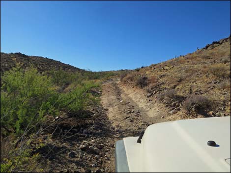
 Descending into a rough narrows (view S) |
 Narrows with washouts (view S) |
 Approaching Willow Wash (view S) |
 Willow Wash with flashflood caution sign (view S) |
 Willow Wash with flashflood caution sign (view S) |
 Approaching Willow Wash Road West on the right (view S) |
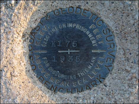 USGS benchmark along roadside |
 Approaching Willow Wash Road East on the left (view S) |
 Scanlon Road at Lower Willow Wash Road (view S) |
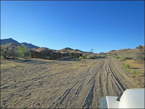 Approaching Willow Wash Corral on the left (view S) |
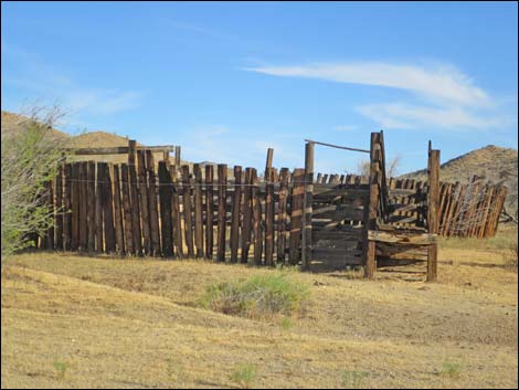 Willow Wash Corral (view S) |
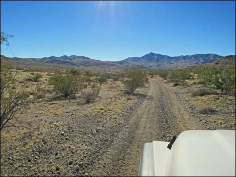
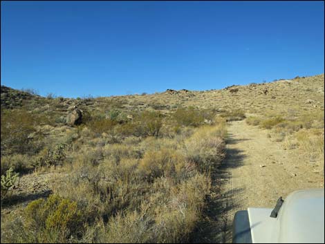
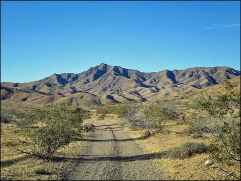 Gentle road (view S towards Bonelli Peak) |
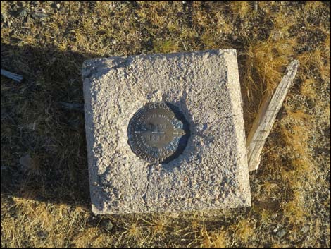 USGS benchmark |
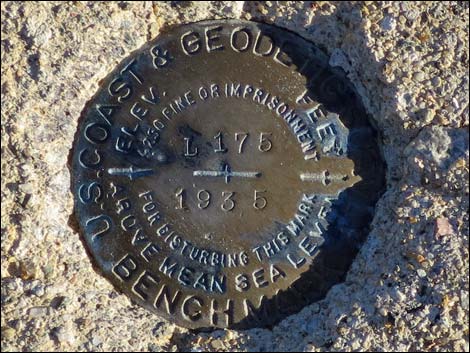 USGS benchmark |
 More easy road (view SW) More easy road (view SW) |
 Pile of feral burro scat in the road (view S) |
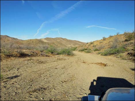
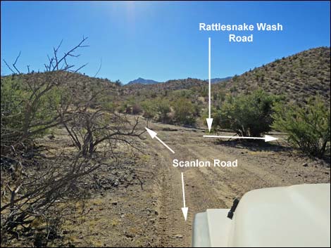 Approaching Rattlesnake Wash (view S) |
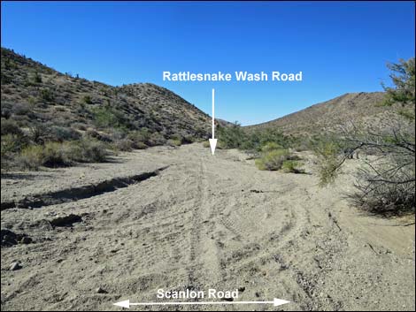 Rattlesnake Wash Road (view W from Scanlon Road) |
 Crossing Rattlesnake Wash (view S) |
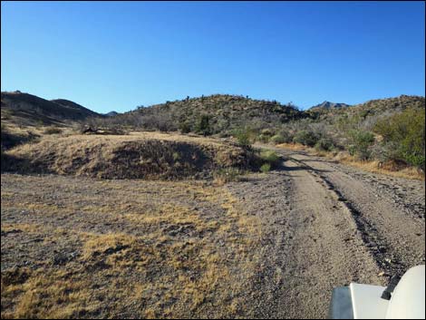
 Crossing a highpoint (view S) |
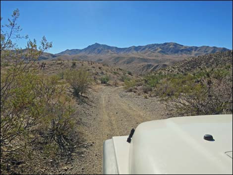
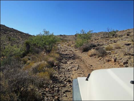
 Entering a narrow bit of rocky road (view S) |
 A narrow bit of rocky road (view S) |
 a narrow bit of rocky road continues (view S) |
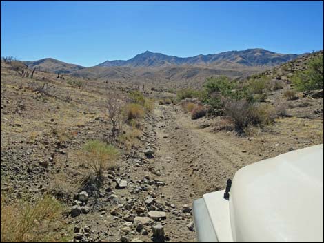
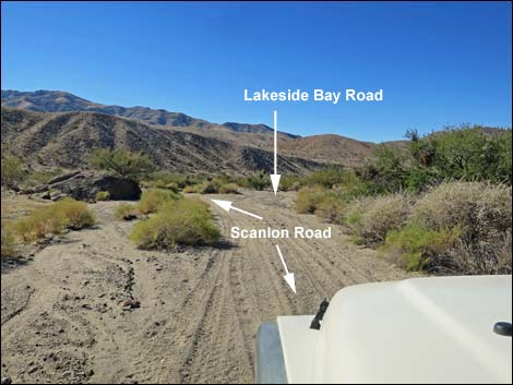 Scanlon Road approaching Lakeside Bay Road (view S) |
 Scanlon Road at Lakeside Bay Road (view S; Road 121) |
 Road sign at intersection (view SW) |
 Road sign at far side of intersection (view SW) |
 Lakeside Bay Road (view W; Road 121) |
 Gentle road (view S) |
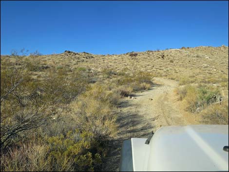
 Rocky little hill (view S) |
 Gentle road (view S) |
 Flashflood warning sign (view S towards Twin Springs Wash) |
 Crossing Twin Springs Wash (view SE) |
 Exiting Twin Springs Wash (view SE) |
 A bit of washed out road (view SE) |
 Scanlon Road approaching Garnet Valley Road (view S) |
 Scanlon Road at Garnet Valley Road (view S) |
 Garnet Valley Road (view SW from Scanlon Road) |
 Scanlon Rd back in Twin Springs Wash at old fence (view S) |
 Approaching Turkey Spring (view SE; boulders ahead) |
 Scanlon Rd at old corral along Twin Springs Wash (view S) |
 Road runs out of the wash (view SE) |
 Scanlon Rd approaching Nevada Mica Mine Rd (view E) |
 Gentle road in Twin Springs Wash (view S) |
 |
 |
 Twin Springs Wash forks; Scanlon Road stays right (view SE) |
 Gentle road (view S) |
 Gentle road (view S) |
 Approaching a minor side road right (view SE) |
 Side road with canyon full of boulders (view S) |
 Scanlon Road at fork in the wash; stay right (view SE) |
 A bit of rocky road (view S) |
 Easy road (view S) |
 |
 |
 Climbing towards a saddle (view S) |
 Crossing a highpoint (view S into Jumbo Basin) |
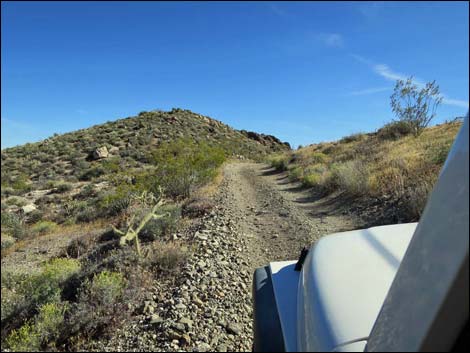
 Blue-diamond cholla on roadside |
 Scanlon Road at Windmill Mine Road (view S) |
 Road runs down sandy wash (view SW) |
 Road runs down sandy wash (view SW) |
 Tight fit between oak trees in sandy wash (view SW) |
 Road runs down wash (view SW) |
 Hard left out of wash to climb steep hill (view SW) |
 Turning across the wash (view SW) |
 |
 |
 Side road merges from the right (view S) |
 Washed out side road from canyon full of boulders (view NW) |
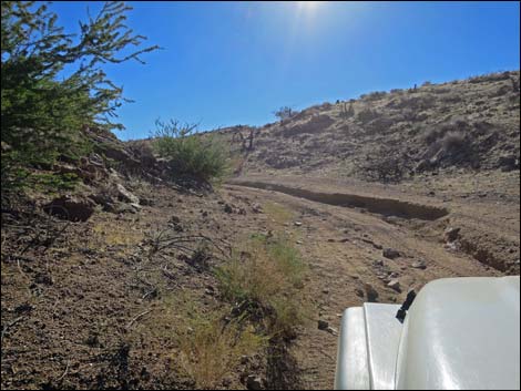
 Road climbs steep hill (view S) |
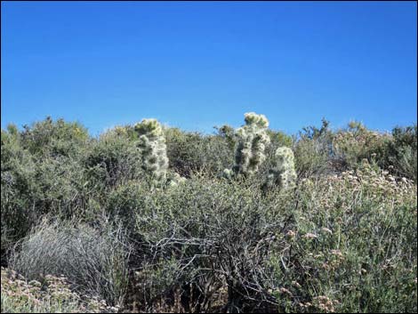 More Blue Diamond Cholla along the road |
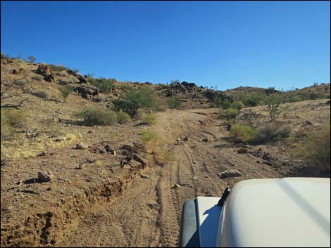
 Road runs up over a low highpoint (view S) |
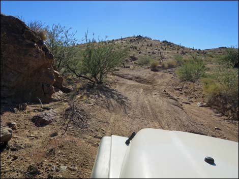
 Road runs down through an oak-lined wash (view S) |
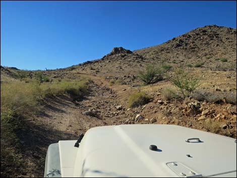
 Road runs towards Scanlon Overlook (view W) |
 Road runs towards Scanlon Overlook (view W) |
 |
 |
 |
 |
 Road runs towards Scanlon Overlook (view W) ... |
 ... and climbs steeply on bend left (view SW |
 Climbing towards Scanlon Overlook (view S) |
 Road bends left, then climbs towards Scanlon Overlook (view S) |
 Arriving at Scanlon Overlook (view S) |
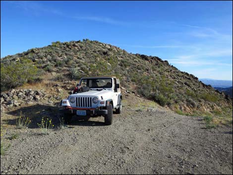 Vehicle turned around and parked at Scanlon Overlook (view S) |
 Scanlon Road continues down the "Scanlon Dugway" (view SW) |
 Scanlon Dugway (view SW) |
 Scanlon Dugway beyond the first curve (view SW) |
 Scanlon Dugway |
 Scanlon Dugway at the first switchback (view S) |
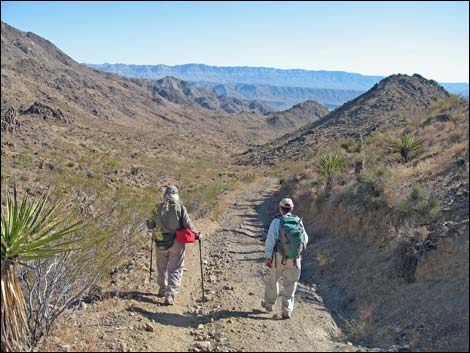 Hikers on Scanlon Dugway (view S) |
 |
 |
 Scanlon Dugway (view S) |
 Scanlon Road at Lake Mead NRA boundary (view S) |
 Gentle road (view S) |
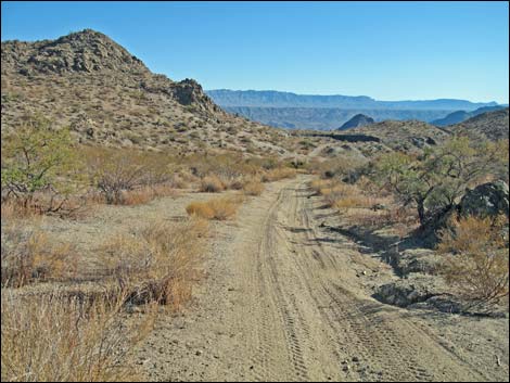
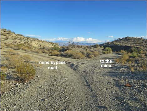 Road forks just before Lakeshore Mine site (view SE) |
Left Fork -- Main Road (Mine bypass road)
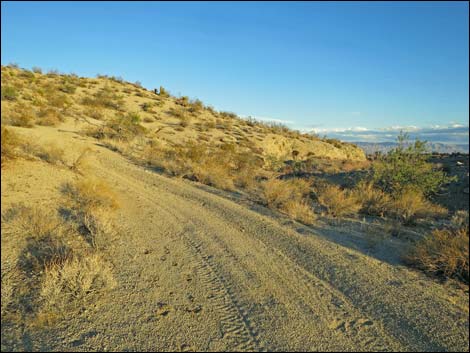 Main road runs up above the mine site (view SE) |
 Main road passing above the mine site (view SE) |
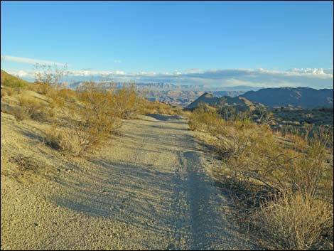
 Main road beyond the mine site (view SE) |
 Main road rejoining the Mine Site Road (view SE) |
 Scanlon Road continues to Lake Mead (view SE) |
 more to come ... |
Right Fork -- Mine Site Road
 Mine Site Road entering the mine area (view SE) |
 Approaching the Lakeshore Mine adit (view SE) |
 Approaching the Lakeshore Mine adit (view SE) |
 Lakeshore Mine adit (view E from Mine Site Road) |
 Mine Site Road exiting the mine area (view E) |
 Mine Site Road rejoining the main Scanlon Road (view NE) |
Table 1. Highway Coordinates Based on GPS Data (NAD27; UTM Zone 11S). Download Highway GPS Waypoints (*.gpx) file.
| Wpt. | Location | Latitude (N) | Longitude (W) | Elevation (ft) | Point-to-Point Distance (mi) | Cumulative Distance (mi) | Verified |
|---|---|---|---|---|---|---|---|
| 0806 | GB Rd at Red Bluff Spr Rd | 36.28093 | 114.20028 | 3,705 | 0.00 | 00.00 | Yes |
| 1703 | Scanlon Rd at Side Rd Left | 36.27733 | 114.20427 | 3,680 | 0.34 | 00.34 | Yes |
| 1704 | Scanlon Rd at Mill Site Rd | 36.27507 | 114.20832 | 3,694 | 0.28 | 00.62 | Yes |
| 1705 | Scanlon Rd at Mill Site West Rd | 36.27380 | 114.21030 | 3,280 | 0.21 | 00.83 | Yes |
| 1706 | Scanlon Rd at Cedar Basin Cut-Off Rd | 36.27254 | 114.21226 | 3,277 | 0.14 | 00.97 | Yes |
| 1707 | Scanlon Rd at Side Rd Right | 36.26797 | 114.21871 | 3,260 | 0.48 | 01.45 | Yes |
| 1708 | Scanlon Rd at Cedar Basin Wash Road | 36.26481 | 114.22607 | 3,139 | 0.48 | 01.93 | Yes |
| 1720 | Scanlon Rd at Side Rd Left | 36.25546 | 114.24386 | 3,094 | 1.39 | 03.32 | Yes |
| 1721 | Scanlon Rd at Catclaw Wash | 36.25157 | 114.25770 | 3,151 | 0.83 | 04.15 | Yes |
| 1722 | Scanlon Rd at Cataract Rd | 36.23924 | 114.26502 | 2,737 | 1.05 | 05.20 | Yes |
| 1723 | Scanlon Rd at Willow Wash Corral | 36.21776 | 114.25493 | 2,962 | 1.86 | 07.06 | Yes |
| 1724 | Scanlon Rd at Lakeside Bay Rd | 36.19240 | 114.25614 | 2,848 | 2.11 | 09.17 | Yes |
| 1725 | Scanlon Rd at Garnet Valley Rd | 36.18770 | 114.24774 | 2,978 | 0.61 | 09.78 | Yes |
| 1728 | Scanlon Rd at Turkey Spring | 36.18386 | 114.23916 | 3,075 | 0.60 | 10.38 | Yes |
| 1729 | Scanlon Rd at Nevada Mica Mine Road | 36.18581 | 114.22650 | 3,244 | 0.89 | 11.27 | Yes |
| 1731 | Scanlon Rd at Twin Springs Wash | 36.17701 | 114.20992 | 3,509 | 1.20 | 12.47 | Yes |
| 1732 | Scanlon Rd at Old Road Left | 36.17429 | 114.20485 | 3,575 | 0.38 | 12.85 | Yes |
| 1733 | Scanlon Rd at Side Rd Left | 36.17490 | 114.20253 | 3,588 | 0.17 | 13.02 | Yes |
| 1734 | Scanlon Rd at Windmill Mine Rd | 36.16759 | 114.19388 | 3,858 | 0.83 | 13.85 | Yes |
| 1738 | Scanlon Rd at Old Road Right | 36.16601 | 114.19708 | 3,820 | 0.26 | 14.11 | Yes |
| 1739 | Scanlon Rd at Scanlon Dugway Top | 36.16120 | 114.20008 | 3,968 | 0.48 | 14.59 | Yes |
| 1740 | Scanlon Rd at Lake Mead Bndry | 36.14376 | 114.19652 | 2,840 | 1.49 | 16.08 | Yes |
| 1741 | Scanlon Rd at Lakeshore Mine | 36.13820 | 114.19477 | 2,646 | 0.44 | 16.52 | Yes |
| 1742 | Scanlon Rd at Lake Mead | 36.09603 | 114.13791 | 1,148 | 4.92 | 21.44 | Map |
Happy Hiking! All distances, elevations, and other facts are approximate.
![]() ; Last updated 240326
; Last updated 240326
| Backroads Around Las Vegas | Hiking Around Las Vegas | Glossary | Copyright, Conditions, Disclaimer | Home |