
Hiking Around Las Vegas, Rainbow Gardens

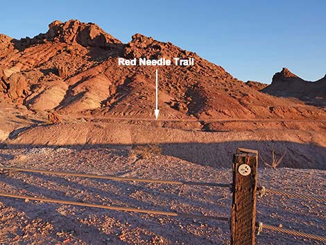 Red Needle Trail is visible across deep gully from trailhead (view E) |
Overview Red Needle Trail is a technically easy, but demanding, 4-mile round-trip hike through The Valley of the Pillars, a geologically interesting area with craggy, colorful cliffs, red soils, and grand scenery. The trail follows a 2-track road, which technically is an illegal road, where some parts are badly torn up by drivers spinning their tires in soft soils and sandy washes. The destination for this hike is Red Needle, a curious geologic spire that is capped with a conglomerate rock composed of ancient cobbles from the bottom of the Grand Canyon, which is a curious geologic story. This hike is located in the Rainbow Gardens Area of Critical Environmental Concern (ACEC), which has been proposed for protection from development as the East Las Vegas National Monument. Link to map or elevation profile. |
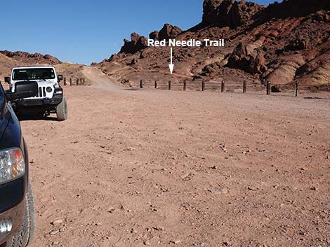 Red Needle Trailhead parking (view NE) |
Watch Out Other than the standard warnings about hiking in the desert, ...this is a fairly safe hike. Some parts of the trail are very steep with gravel atop rock and hard dirt, making for ball-bearing slipping hazards. The trailhead is in a not-the-safest area, so don't leave anything in your vehicle that someone might find interesting. While hiking, please respect the land and the other people out there, and try to Leave No Trace of your passage. Also, this hike is fairly short, but be sure to bring what you need of the 10 Essentials. |
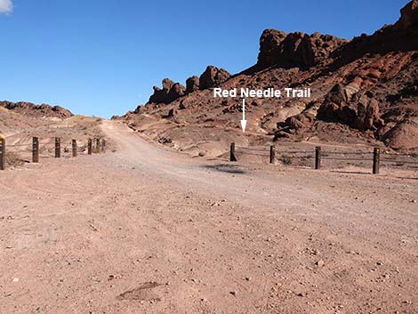 Departing Red Needle Trailhead (view NE) |
Getting to the Trailhead Red Needle Trail is located on the southeast side of Frenchman Mountain, the mountain that forms the eastern boundary of the Las Vegas Valley, about 30 minutes east of downtown Las Vegas. From downtown, drive east to Hollywood Blvd, the last major north-south thoroughfare on the east edge of town. Drive south on Hollywood Blvd. Past the intersection with Desert Inn Road, Hollywood narrows, leaves the urban area, bends left, passes a sewage treatment plant, and heads into the desert. The pavement ends, but Hollywood continues as a graded dirt road. Past the pavement, drive east for 2.0 miles to Lava Butte Road, on the left. There are no street signs, but this is the third left. Turn onto Lava Butte Road and drive north 1.4 miles to a wide area between post-and-cable fencing. Park here; this is the Red Needle Trailhead. |
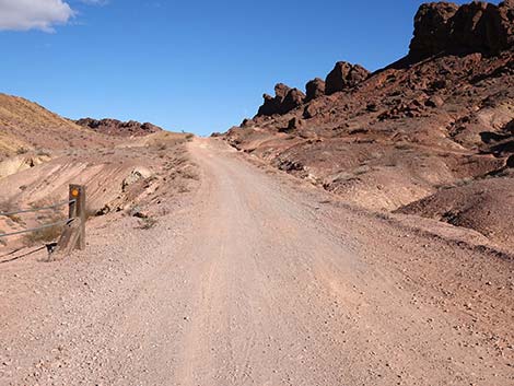 Red Needle Trail continues up Lava Butte Road (view NE) |
The Hike From the trailhead (Table 1, Waypoint 01), the Red Needle Trail lies due east, but a steep-sided, deep gully separates the trailhead from the trail, so the hike begins by walking 0.2 miles farther up Lava Butte Road to where the deep gully is shallow enough to get across (Wpt. 02). Crossing the gully, the Red Needle Trail turns south to run between the gully below and a rocky ridge above. When the trail (actually a 2-track road) is back to about even with the trailhead, it forks (Wpt. 03). The trail turns left to head east around the south end of the craggy ridge. Heading generally east, the trail winds northward and southward to cross several gullies and low ridges before turning northeast and dropping into a sandy wash at about 0.4 miles out. For the next 0.7 miles, the trail follows this wash downstream. |
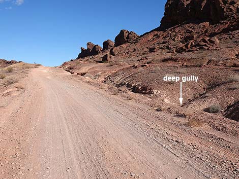 Red Needle Trail bypasses deep gully (view NE) |
In this area, overall, vegetation is sparse, but in the washes, where there is more water and perhaps better soils, the vegetation is more lush. Watch for common species such as Big Galleta Grass, Creosote Bush, Catclaw Acacia (aka Wait-A-Minute Bush if you get too close), and Fremont's Dalea (Indigo Bush). Keep an eye out for less common species too, particularly Silverleaf Sunray with large, blue-green leaves and huge yellow sunflowers in the spring. The geology is interesting too. Watch the cutbanks along the wash for curious layers of different colored rocks and thin dikes of white gypsum crystals that cut through the layers and fill narrow cracks. On a larger scale, the landscape is tilted layers of sedimentary rocks (Horse Spring Geologic Formation) that probably originated in lake basins some 17 million years ago. The harder rocks, now forming the higher ridges, are largely gray-brown, but mixed with reds, tans, and even yellow layers. |
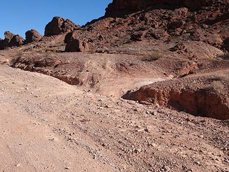 Red Needle Trail at gully bypass (view NE) |
At about 0.75 miles out, hikers get nice views down the canyon to the northeast. Two pinnacles and a "volcano" come into view. The closer and larger pinnacle is named Pinnacle (or Thumb Pinnacle), the smaller pinnacle is named Red Needle. In the background, Lava Butte, the apparent volcano, is not a volcano at all but rather a laccolith. Laccoliths are formed by magma pushing upward through existing sedimentary rocks, but not breaking through. Laccoliths deform the overlying layers and solidify underground, forming a dome-shaped solid mass. When the overlaying softer rocks erode away, the volcanic laccolith is revealed. Lava Butte formed about 13 million years ago and tilted with the surrounding landscape, so we don't actually see the dome, rather we see the edge sticking up. Still heading down the sandy wash, at about 1.2 miles out, the wash merges with another wash coming in from the north and together they bend east. At this confluence (Wpt. 04), the Red Needle Trail continues straight (north) to go up the other wash heading towards the Pinnacle, which is visible at this point. For people not paying attention, it would be easy to just turn right and head down the main wash to the southeast. |
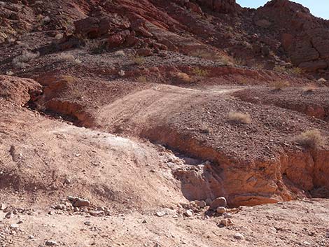 Red Needle Trail departing Lava Butte Road (view NE) |
Still heading more-or-less north, the Red Needle Trail soon climbs out of the wash onto an illegal 2-track road and begins climbing across sparsely vegetated desert soils towards the Pinnacle. In this area, the Creosote Bushes are sparse and stunted, and a few Beavertail Pricklypear dot the landscape, but few plants grow here. At about 1.36 miles out, Red Needle Trail drops to cross a broad wash where the contrast in the amount of vegetation is striking. Climbing out the other side of the broad wash still following the illegal 2-track road, the Red Needle Trail begins climbing gently, then rather steeply towards the Pinnacle. Approaching the Pinnacle, hikers will notice that it is formed of two types of rock. The base is formed of layered, red mudstones and siltstones with some cobbles mixed in. The upper part is reddish-gray conglomerate composed of Precambrian gneiss and rapakivi granite, the same rocks that make up the bottom of the Grand Canyon. How they got here is beyond the scope of a hiking route description, but the story reads like a crazy and complicated geologic conspiracy theory. Read about it in Geologic Tours in the Las Vegas Area (Tingley et al., 2008) or Roadside Geology of Nevada (DeCourten and Bigger 2017). |
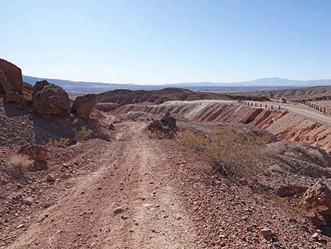 Red Needle Trail turns south on other side of deep gully (view SW) |
As the Red Needle Trail passes below the Pinnacle (Wpt. 05), hikers will notice boulders on both sides of the trail that fell from the top of the Pinnacle. This is a good chance to closely inspect the ancient gneiss and rapakivi granite components of the conglomerate. These cobbles are more than 1 billion years old. Passing the Pinnacle, the trail climbs rather steeply onto a saddle, and from there hikers get grand views and a good look at the remaining route to the Red Needle: a very steep descent into a gully, then an almost equally steep climb up to the ridgeline at the Red Needle (Wpt. 06). This high ridgeline provides grand views north and south, and of course, a good view of Red Needle, which is composed of the same layers and same ancient conglomerate as the Pinnacle. From Red Needle (Wpt. 06) or from just the Pinnacle (Wpt. 05), return to the trailhead (Wpt. 01) by following your footprints in the dust back down the trail to the south. |
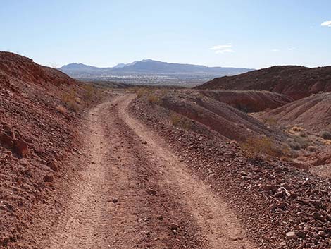 Red Needle Trail runs south on a 2-track road (view SW) |
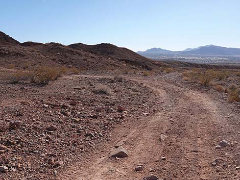 Red Needle Trail reaches a fork (view S) |
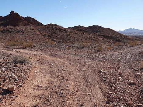 Red Needle Trail turns left at the fork (view S) |
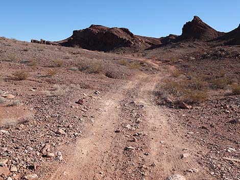 Red Needle Trail turns east towards rocky crags (view SE) |
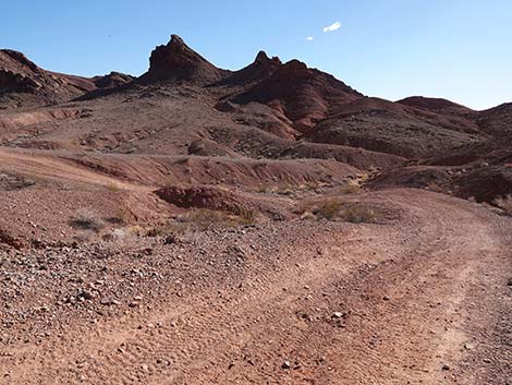 Red Needle Trail drops to cross a wash (view S) |
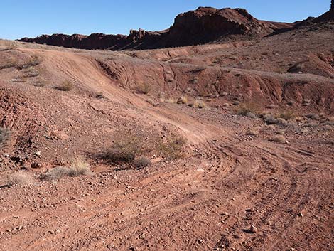 Red Needle Trail crossing the wash (view SE) |
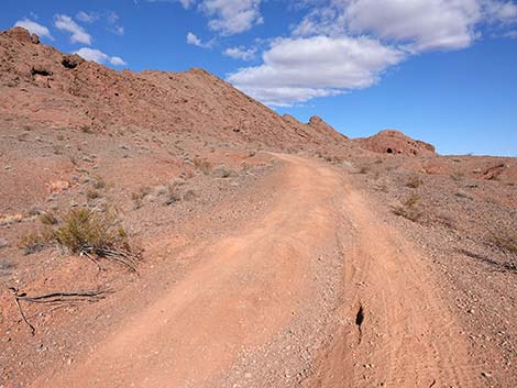 Red Needle Trail bends to climb over the next little ridge (view NE) |
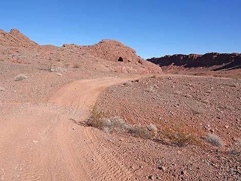 Red Needle Trail climbing towards a highpoint (view E) |
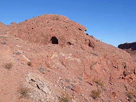 Several hobbit-holes in this hill (view NE) |
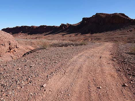 Red Needle Trail begins descent into a wash system (view SE) |
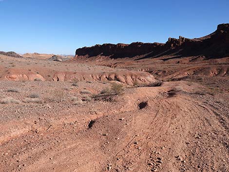 The illegal off-road vehicles make a mess in this area (view E) |
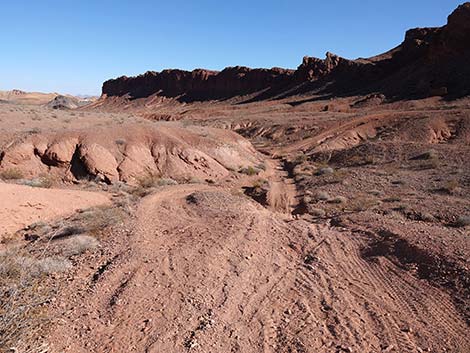 Red Needle Trail drops steeply into the wash (view S) |
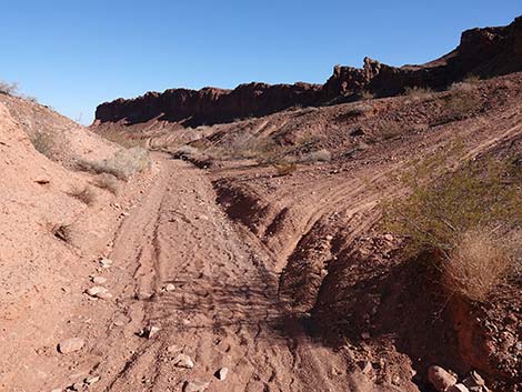 Red Needle Trail passing an illegal side-road (view E) |
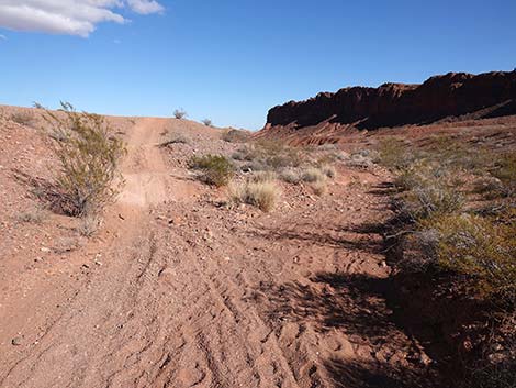 Another illegal side-road; Red Needle Trail stays in the wash (view E) |
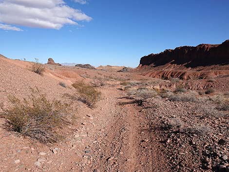 The Pinnacle comes into view (view NE) |
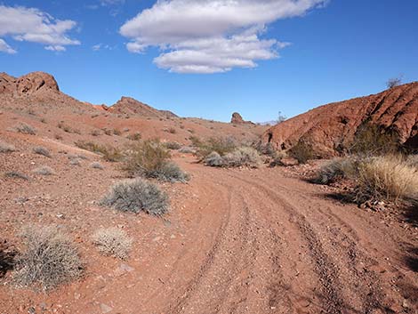 Red Needle Trail continues down the wash (view NE) |
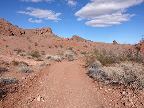 Red Needle Trail continues down the wash (view NE) |
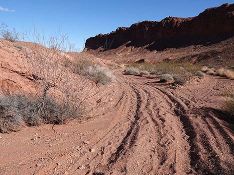 Red Needle Trail continues down the wash (view NE) |
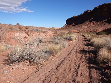 Red Needle Trail continues down the wash (view NE) |
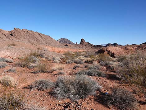 Lava Butte, Red Needle, and Pinnacle come into view (view NE) |
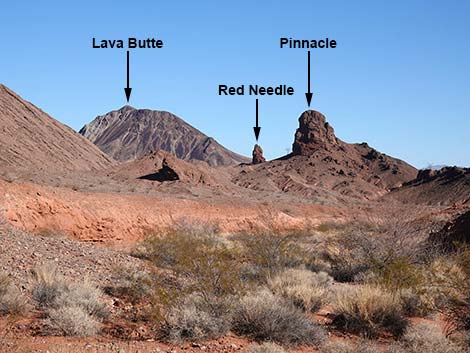 Lava Butte, Red Needle, and Pinnacle (zoom; view NE) |
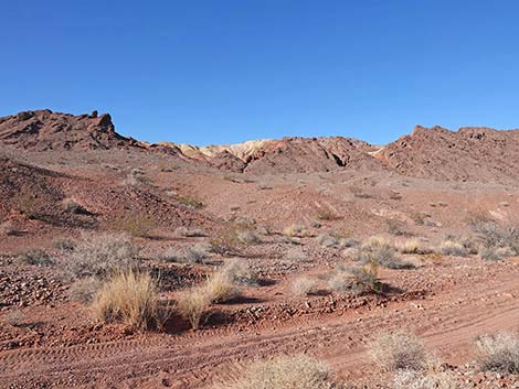 Colorful layers in the ridges (view NW) |
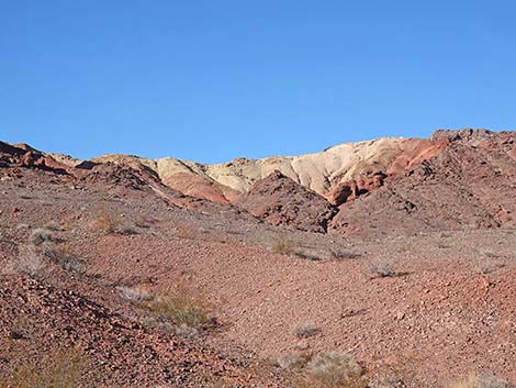 Colorful layers in the ridges (zoom; view NW) |
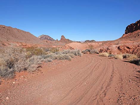 Red Needle Trail continues down the wash (view NE) |
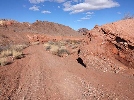 Red Needle Trail passing ancient conglomerate layers (view NE) |
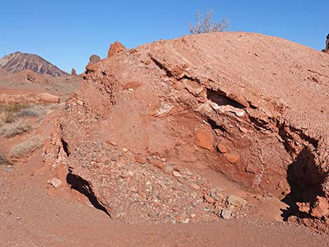 These conglomerate layers are tilted like the surrounding landscape |
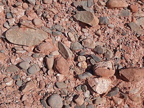 Ancient conglomerate formed of river cobbles (view NE) |
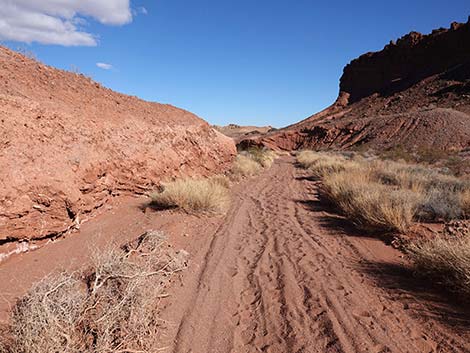 Illegal vehicles stir up the loose sand (view NE) |
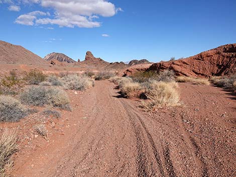 Grand views down the wash (view NE) |
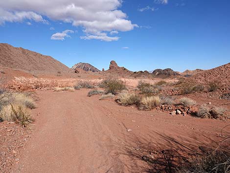 Red Needle Trail continues down the wash (view NE) |
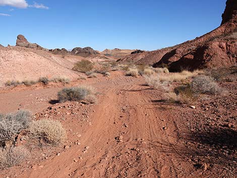 Red Needle Trail continues down the wash (view NE) |
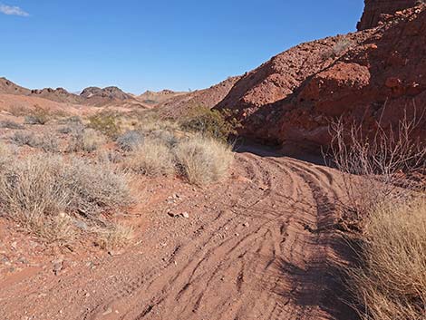 Red Needle Trail continues down the wash (view NE) |
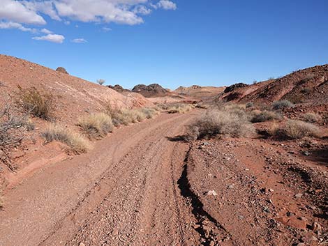 Red Needle Trail continues down the wash (view NE) |
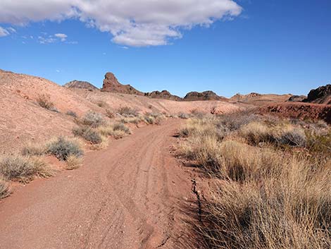 Red Needle Trail continues down the wash (view NE) |
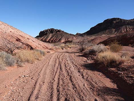 Red Needle Trail continues down the wash (view NE) |
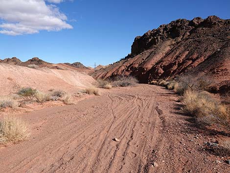 Red Needle Trail continues down the wash (view NE) |
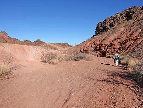 Red Needle Trail continues down the wash (view NE) |
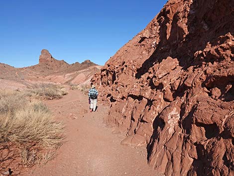 Outcrop of mudstone with gypsum in the cracks (view NE) |
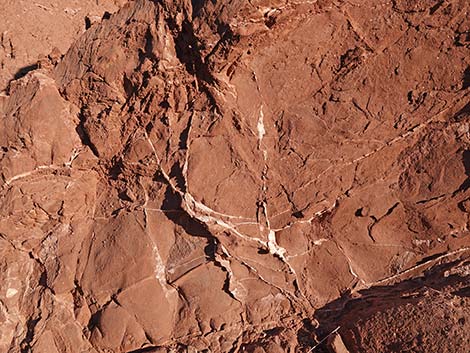 Mudstone with gypsum in the cracks (view E) |
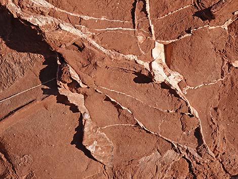 Gypsum is slightly harder than mudstone, so it erodes out (view E) |
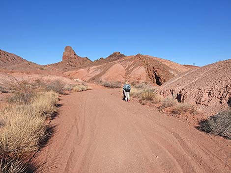 Red Needle Trail approaching a confluence of washes (view NE) |
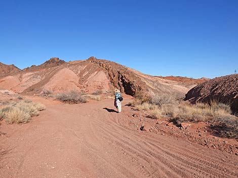 Red Needle Trail at confluence of washes (view NE) |
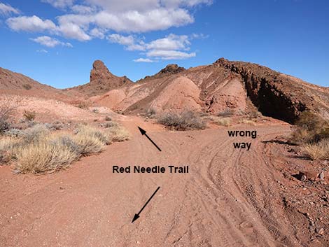 Two washes converge (view NE) |
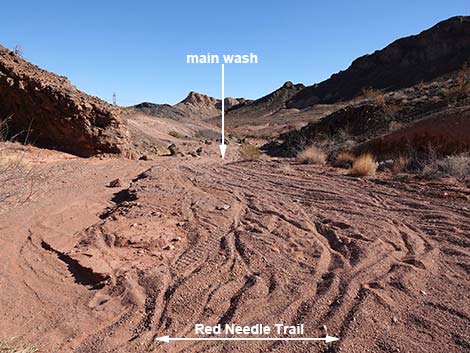 Combined, the wash is wide, but the wrong way to go (view SE) |
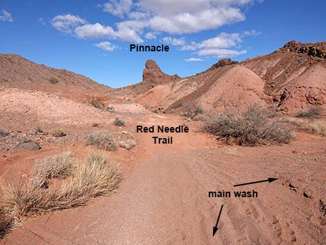 Red Needle Trail continues up the other wash (view NE) |
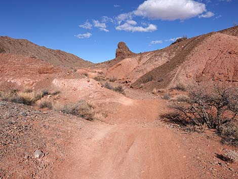 Red Needle Trail continues up the other wash (view N) |
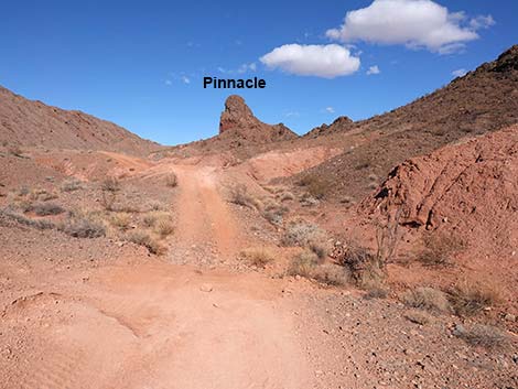 Red Needle Trail climbs out of the wash (view N) |
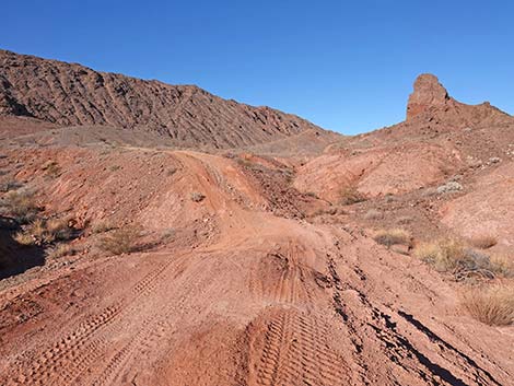 To think that this was a trail only a couple of years ago (view N) |
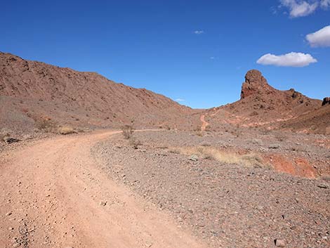 Red Needle Trail follows another illegal 2-track road (view NE) |
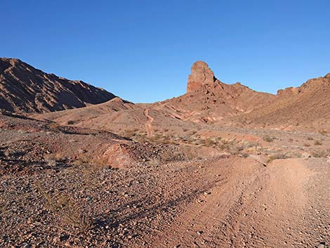 The Pinnacle dominates the landscape in this area (view N) |
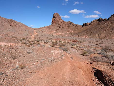 Red Needle Trail drops to cross a broad wash (view N) |
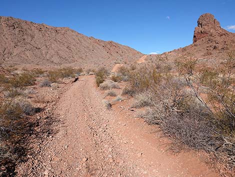 In the wash, the vegetation is more "lush" due to more water |
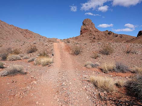 Across wash, Red Needle Trail begins to climb towards Pinnacle |
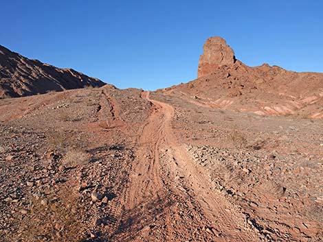 Red Needle Trail climbing towards Pinnacle (view N) |
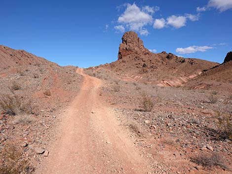 Red Needle Trail climbing towards the Pinnacle (view N) |
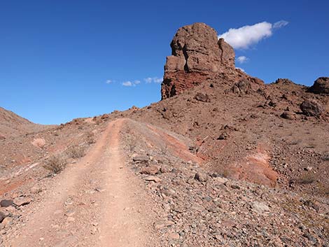 Near the Pinnacle, Red Needle Trail climbs steeply (view N) |
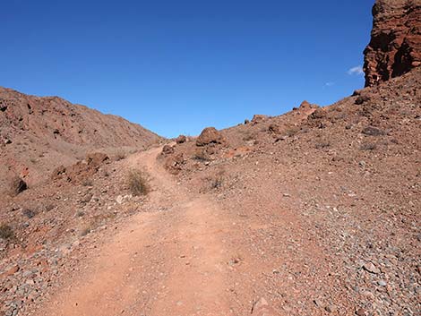 Near the Pinnacle, Red Needle Trail climbs steeply (view N) |
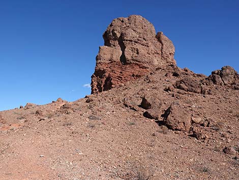 The Pinnacle is conglomerate rock sitting atop red sandstone |
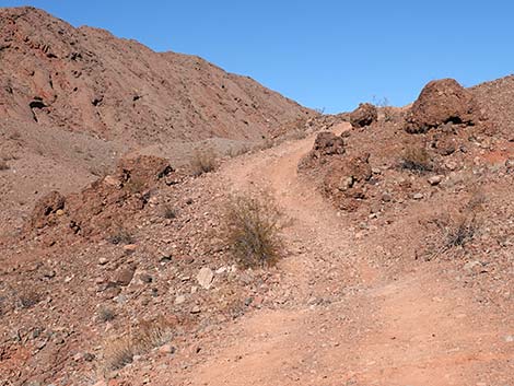 Approaching boulders that fell from the top of the Pinnacle (view N) |
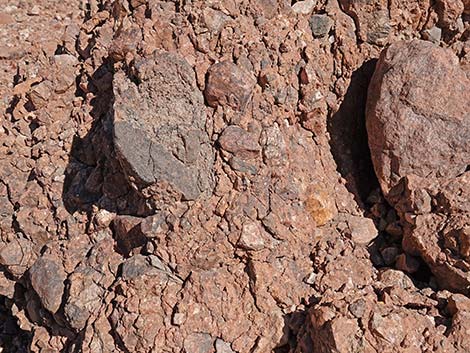 This conglomerate is called Thumb Breccia |
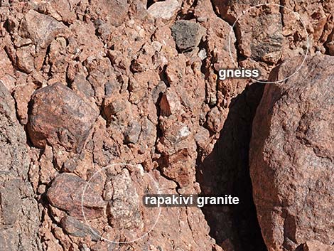 Details of Thumb Breccia: Precambrian gneiss and rapakivi granite |
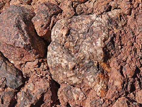 Rapakivi granite in Thumb Breccia |
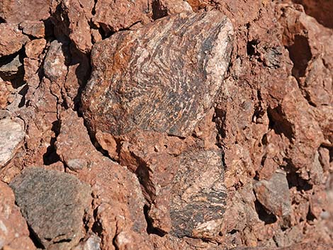 Precambrian gneiss in Thumb Breccia |
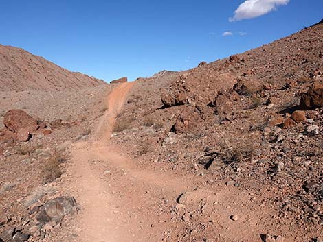 Red Needle Trail continues below the Pinnacle (view N) |
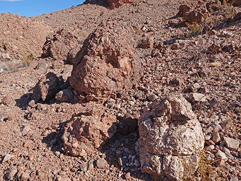 More conglomerate boulder of Thumb Breccia |
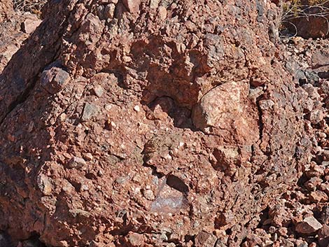 Inspection reveals Precambrian gneiss and rapakivi granite |
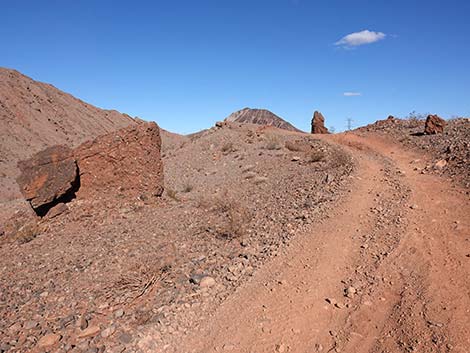 Red Needle Trail climbs past the Pinnacle to a saddle (view N) |
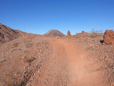 Red Needle Trail approaching saddle past the Pinnacle (view N) |
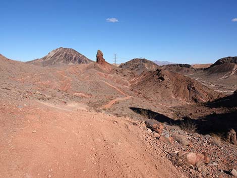 Saddle off NW corner of Pinnacle (view NE) |
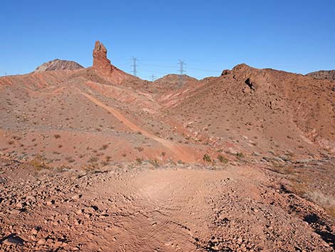 Red Needle Trail descends steeply past the Pinnacle (view N) |
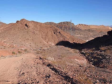 Colorful scenery (view NE) |
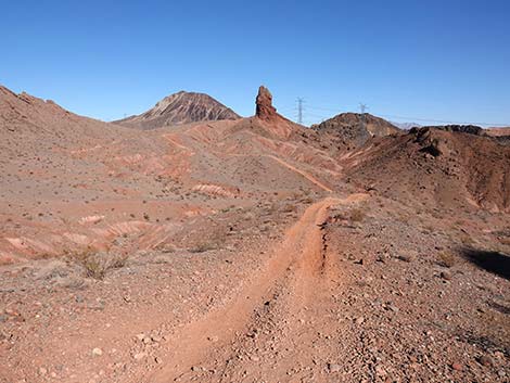 Red Needle Trail descends past the Pinnacle (view N) |
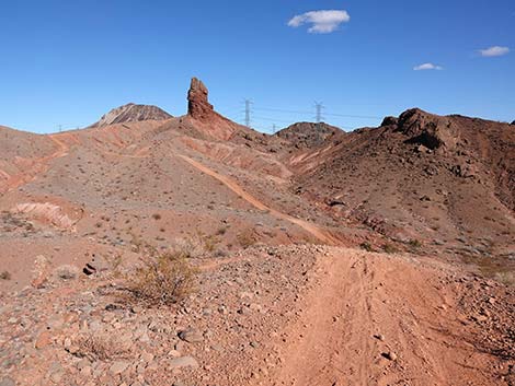 Red Needle Trail descends steeply into the next wash (view N) |
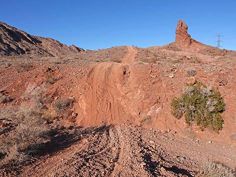 Red Needle Trail crosses the wash (view N) |
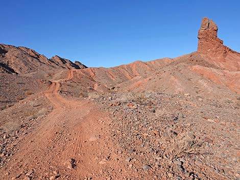 Red Needle Trail climbs moderately towards Red Needle (view N) |
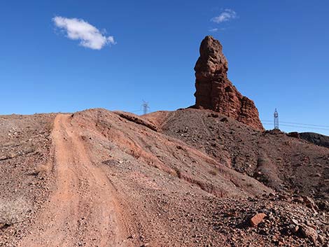 Red Needle Trail climbs steeply towards Red Needle (view N) |
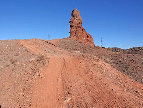 Red Needle Trail climbs steeply towards Red Needle (view NE) |
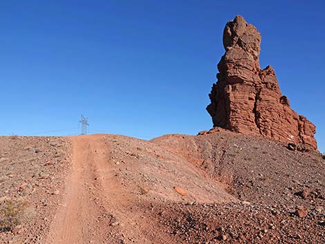 Red Needle Trail climbs steeply towards Red Needle (view NE) |
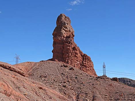 Red Needle (view NE from Red Needle Trail) |
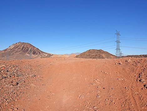 Red Needle Trail approaching saddle adjacent to Red Needle (view N) |
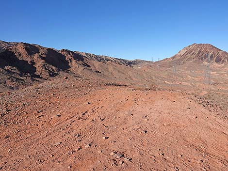 Red Needle Trail atop saddle adjacent to Red Needle (view N) |
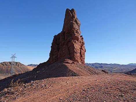 Red Needle (view SE from atop saddle) |
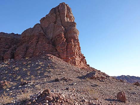 Red Needle (view SE from atop saddle) |
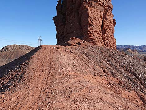 Ridgeline leads to base of Red Needle (view SE) |
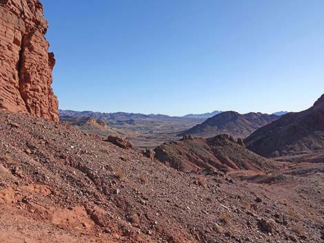 Grand views from base of Red Needle (view SE) |
 More to come ... |
Table 1. Hiking Coordinates Based on GPS Data (NAD27, UTM Zone 11S). Download Hiking GPS Waypoints (*.gpx) file.
| Wpt. | Location | Easting | Northing | Elevation (ft) | Point-to-Point Distance (mi) | Cumulative Distance (mi) |
|---|---|---|---|---|---|---|
| 01 | Red Needle Trailhead | 683101 | 3998457 | 1,800 | 0.00 | 0.00 |
| 02 | Trail Departs Lava Butte Road | 683219 | 3998534 | 1,837 | 0.09 | 0.09 |
| 03 | Trail Forks | 683149 | 3998371 | 1,809 | 0.12 | 0.21 |
| 04 | Wash Forks | 684379 | 3998856 | 1,670 | 0.99 | 1.20 |
| 05 | Pinnacle (Thumb) | 684492 | 3999519 | 1,837 | 0.43 | 1.63 |
| 06 | Red Needle | 684731 | 4000002 | 1,878 | 0.38 | 2.01 |
| 01 | Red Needle Trailhead | 683101 | 3998457 | 1,800 | 2.01 | 4.02 |
Happy Hiking! All distances, elevations, and other facts are approximate.
![]() ; Last updated 250201
; Last updated 250201
| Hiking Around Lake Mead | Hiking Around Las Vegas | Glossary | Copyright, Conditions, Disclaimer | Home |