Hiking Around Las Vegas, Red Rock Canyon NCA
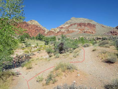
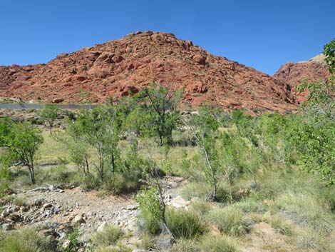
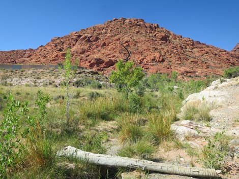
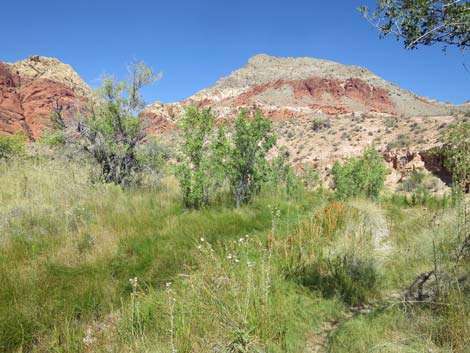
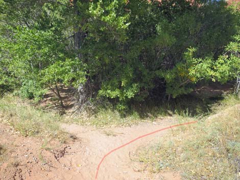
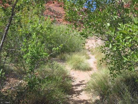
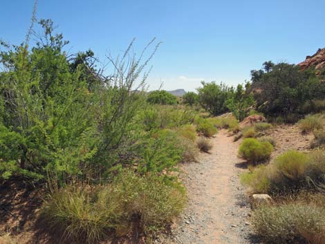
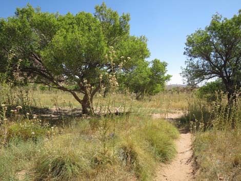
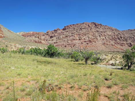
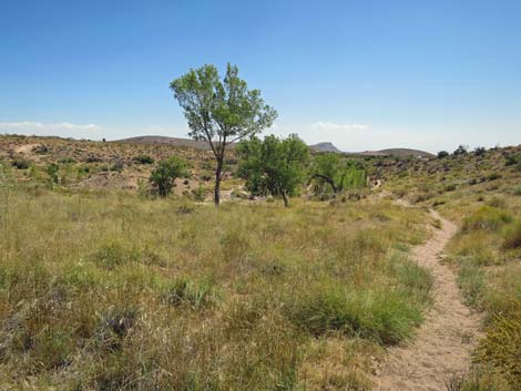
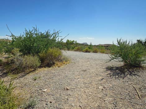
 Start of Ash Spring Loop at Kraft Mountain Trailhead (view W) |
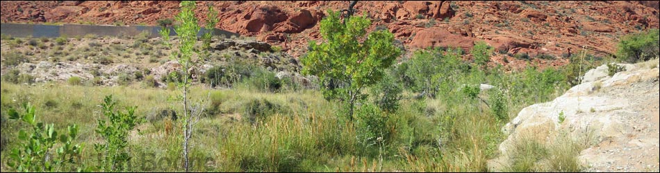
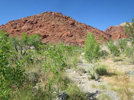
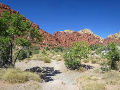
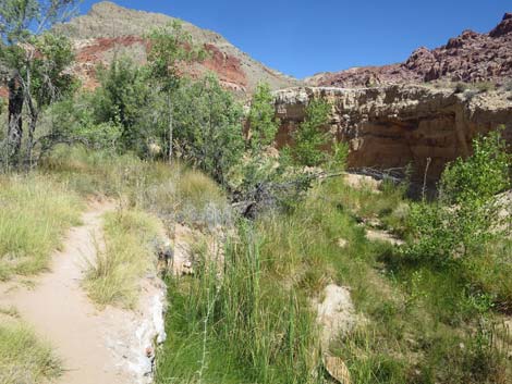
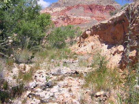
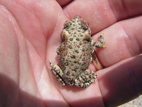
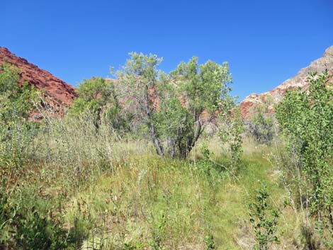
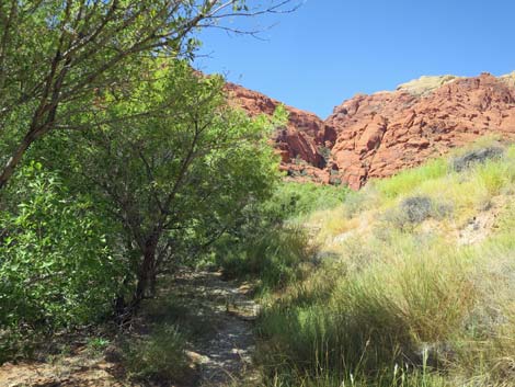
Overview Ash Spring Loop is an easy 1.3-mile loop that runs along the east side of the Ash Creek riparian area up to Ash Spring, then comes back down the west side of the riparian area. There is a network of use-trails throughout this area, but it is easy enough for hikers to more-or-less always follow trails along the east and west sides of the riparian area. The riparian area is heavily vegetated with Velvet Ash Trees and grass-like species (sedges and rushes), plus a few Fremont's Cottonwood Trees and forb species. Outside the riparian area, the rocky hillsides are typical Mojave Desert Scrub dominated by Creosote Bush, White Bursage, Catclaw Acacia, Mojave Yucca, and Four-winged Saltbush. Along the base of the red sandstone cliffs, Shrub Live Oak is common too. Because the riparian area is nestled in between cliffs and open desert, this is a good place to find all sorts of desert creatures, including Desert Tortoise, Chuckwalla, Gila Monsters, Red-spotted Toads, several species of dragonflies and damselflies, plus lots of birds. Link to map. |
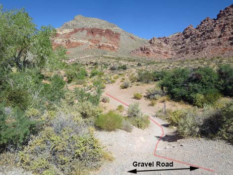
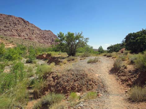
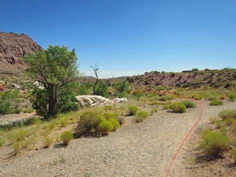
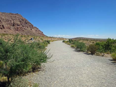
 Route starts down an old, gravel road (view W) Route starts down an old, gravel road (view W) |
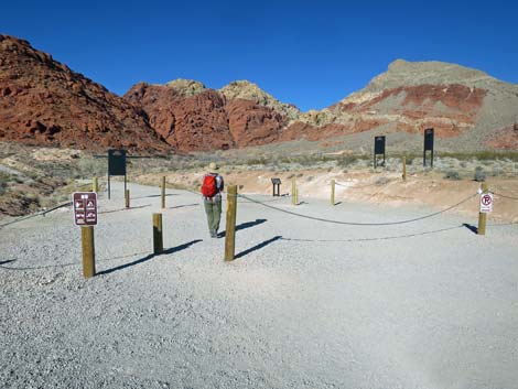
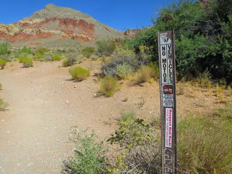
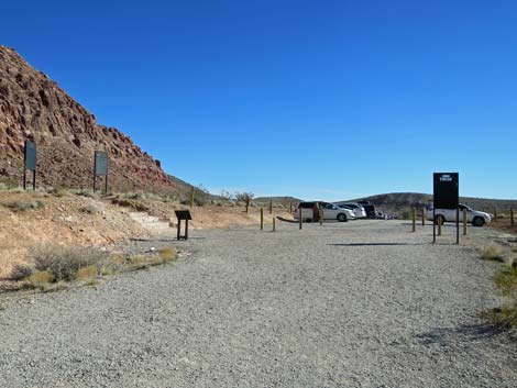
Watch Out Other than the standard warnings about hiking in the desert, ...this hike is fairly safe, but there can be muddy spots where hikers might slip and fall on the rocky ground, and there are areas of dense vegetation where it can be hard to check for snakes on the trail. While hiking, please respect the land and the other people out there, and try to Leave No Trace of your passage. Also, even though this is a short hike, be sure to bring what you need of the 10 Essentials. This route is up near the La Madre Mountain Wilderness Area, so pay particular attention to respecting the land. In particular, try to stay on trails in the meadow areas so as not to trample more vegetation. Getting to the Trailhead This hike is located in the Calico Basin area of Red Rock Canyon National Conservation Area, about 30 minutes from town (not on the Scenic Loop Road). Drive out West Charleston Blvd, turn right onto Calico Basin Road, then drive to the Sandstone Road Trailhead at the end of the pavement. Drive to the far end of the trailhead parking area. Park here; this is the trailhead. |
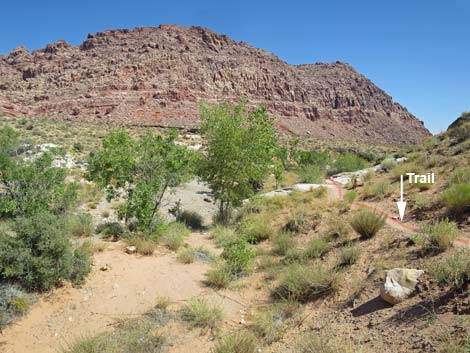
 Use-trail departs gravel road (view NW) |
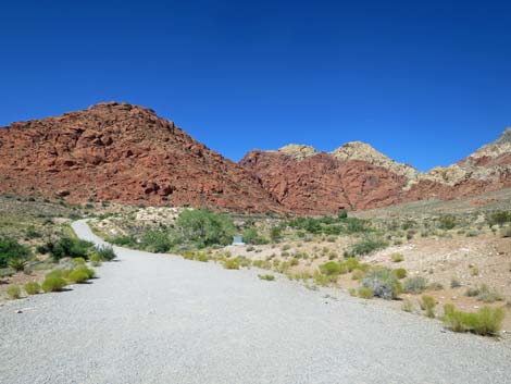
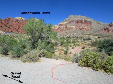
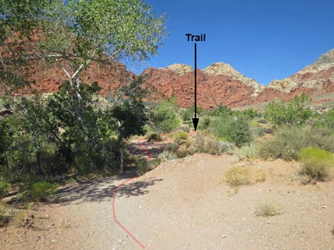
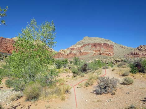
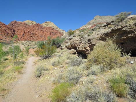
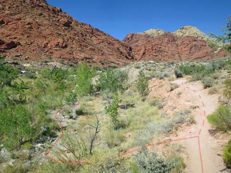
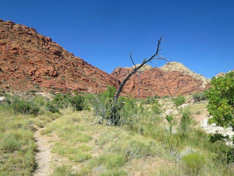
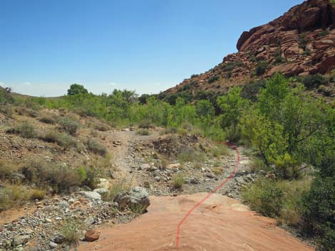
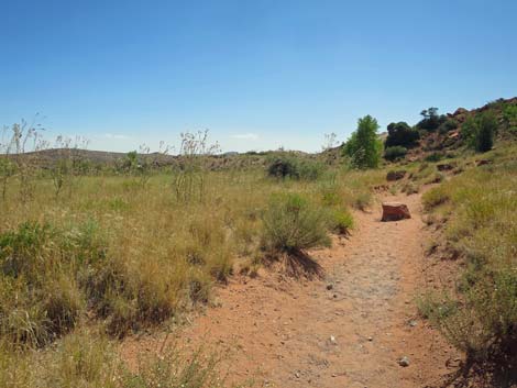
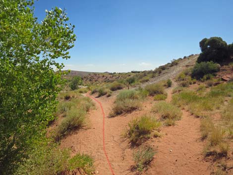
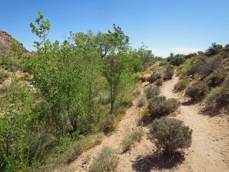
The Hike From the trailhead (Table 1, Waypoint 01), the hike exits the parking area heading west on a continuation of the parking lot road. From the trailhead, the gravel road can be seen running down to a low point, crossing a wash, the climbing out the far side of the wash. The hike starts by running out to the low point, then turns right into the grass and tree covered area. Heading out the gravel road, just before crossing the wash (Wpt. 02), the route turns right off the roadway onto a use-trail that passes just right of a couple of nice little Cottonwood Trees. After departing the old roadway, hikers soon encounter a network of diverging use-trails. In describing the maze of twists, turns, and intersections, the route sounds very confusing. However, if hikers merely follow along the right edge of the riparian area, it is easy to find one's way up along the seasonal stream to the spring. Coming back, it is a little easier to describe, but it still requires hikers to feel their way along the outside edge of the riparian area. |
 Use-trail (view N from gravel road) |
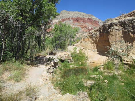
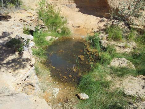
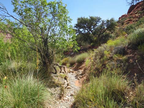
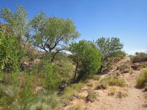
A few yards past the cottonwood trees (Wpt. 03), the trail forks. The right fork leads up along the east edge of the riparian area, but the left leads more into the middle of the Lower Meadow. Either way, hikers should stay to the right around the meadow. At another fork (Wpt. 04), staying right takes hikers along the outside edge of the wash below a low band of cliffs that offers some slight bit of elevation with views out across the tree tops. Following along the outside of the Lower Meadow, the route bends to run due west to pass through a narrow section of desert wash without much riparian vegetation. The return trail is only a few yards across the wash to the south, and the concrete wall on the left is part of a foundation for a home that was never built. Beyond the narrow spot, the route bends back to the north. Staying along the edge of the Upper Meadow, the trail forks again (Wpt. 05). Here, the more interesting path stays left and drops into the wash bottom where the seasonal stream flows. Shortly ahead, the use-trail passes along the left edge of a water hole (Wpt. 06) that holds water long into the summer. This is a good place to watch for birds and other thirsty creatures coming in for a drink. Watch for dragonflies and toads here too. |
 Marker at start of trail (view N) |
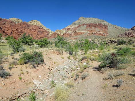
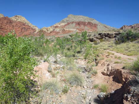
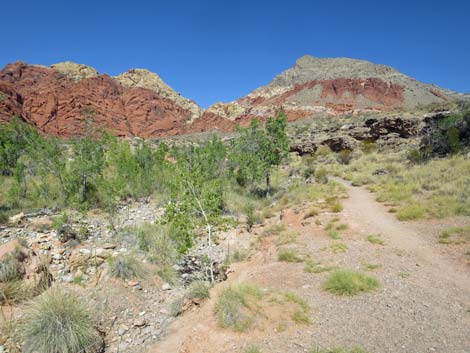
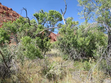
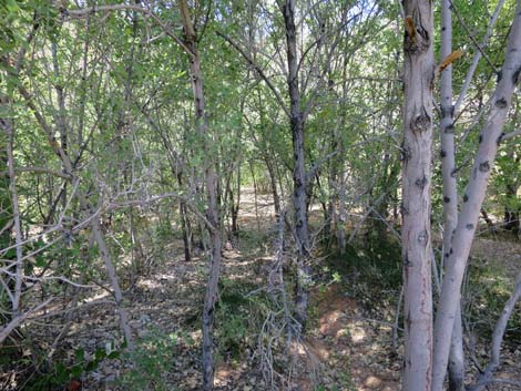
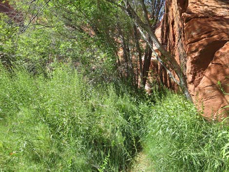
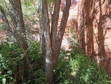
The route continues north along the wash, then crosses to the east side of the wash and follows along below low caliche cliffs. It is always worth peeking into the dark holes in the cliff to see if anyone is hiding in the shadows. Now heading west, the use-trail drifts away from the edge of the Upper Meadow, but heads towards a tall, isolated Ash Tree. Approaching the ash tree (Wpt. 07), the use-trail drops off the bank into the wash bottom and turns right to continue heading upstream. Winding around, but generally heading west, the use-trail follows the bottom of the wash through a thick thicket of ash trees and dense bunchgrasses. Always watch your footing for snakes when visibility is reduced. Staying in the wash, hikers soon encounter a large slab of red slickrock (Wpt. 08) in the wash bottom. Technically, the slab forms the east bank of the wash, but it makes a convenient path and a good landmark. |
 Trail passes along east edge of cottonwood trees (view N) |
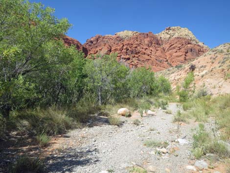
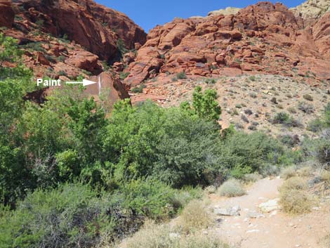
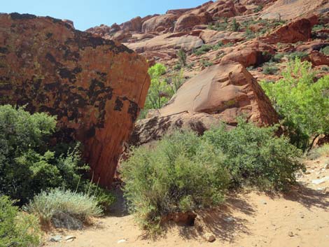
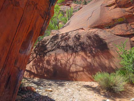
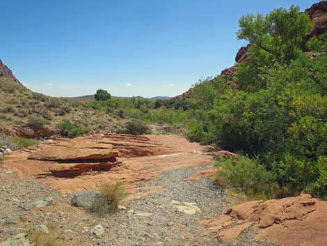
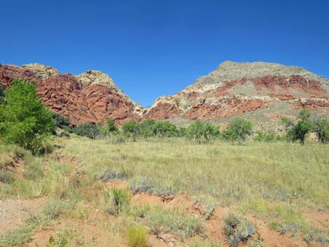
Passing just beyond the slickrock slab, hikers can look left and see the top of an enormous red sandstone boulder that stands higher than the surrounding trees. The top of the boulder is streaked with white paint. Ash Spring is behind this boulder, but getting there requires a bit of winding around. The route continues up the canyon only a few yards past the red slickrock slab, then drops steeply into the wash, and just as quickly climbs steeply out the other side of the wash. Now atop the wash bank, hikers can see that there are two enormous boulders with a nice shady, sheltered space between the two. The route turns south to pass between the two boulders, then bends right around the edge of the western boulder and arrives at the spring, which is at the base of the sandstone cliffs. This area usually is quite overgrown with Stream Orchids and other species, so again, watch for creatures slithering through the grass. Tortoises come to drink here too, so don't step on them either. |
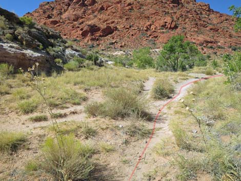
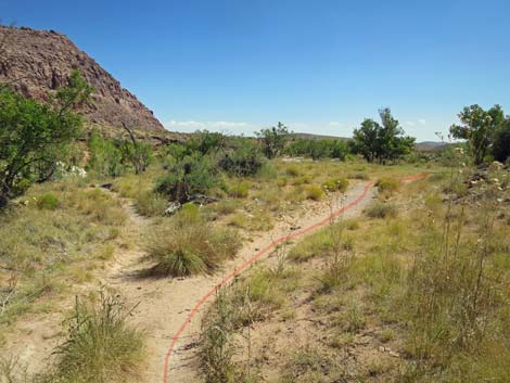
 Approaching the first of many forks in the trail (view NW) |
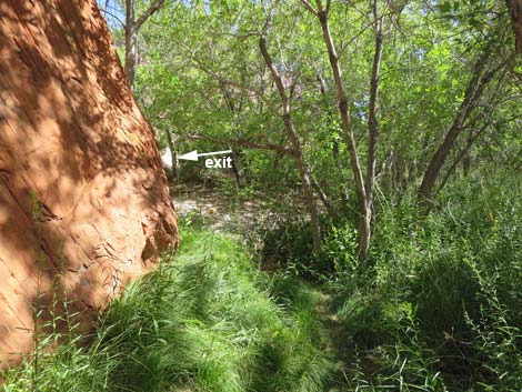
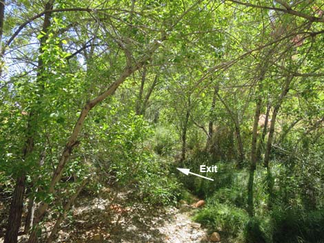
Ash Spring, beneath tall ash trees, is cool and moist and a nice place to rest and relax after the long, 0.7-mile hike, but return to the open area between the boulders to rest and eat lunch so as not to scare thirsty birds from the water. When ready, hikers can exit the area by following the use-trail along the south edge of the enormous boulders, across the wash, through the trees, and back up onto the red sandstone slickrock (Wpt. 08). Continuing straight down the wash bottom below the spring is not a better shortcut. Back on the red sandstone slickrock, the route returns by heading straight down the wash bottom, staying to the right at the spot where hikers arrived from the left onto the sandstone slickrock. Staying against the cliffs on the right, the trail exits the wash bottom onto higher ground in only 40 yards or so. From that point, the trail is well used and much better defined as it runs southeast between the base of the cliffs and the edge of the Upper Meadow. This area offers nice views across the meadow. |
 First of many forks in the trail; stay right (view NW) |
The trail eventually forks again (Wpt. 10) where an old road climbs out of the canyon bottom up to the old house foundation. Here, the trail stays left along the edge of the meadow to run below the foundation and back through the gap between the Upper and Lower meadows. The trail stays above the wash bottom and crosses a bit of white slickrock (Wpt. 11) where hikers can look left and see the outbound trail. Past the white slickrock, the use-trail stays right along the base of the foundation wall to stay on the west side of the Lower Meadow. Before long, hikers will see the little cottonwood trees on the left and the old gravel road ahead. The trail climbs back to the gravel road (Wpt. 11), turns left, and follows the old road back to the trailhead (Wpt. 01). |
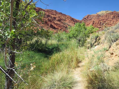
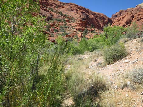
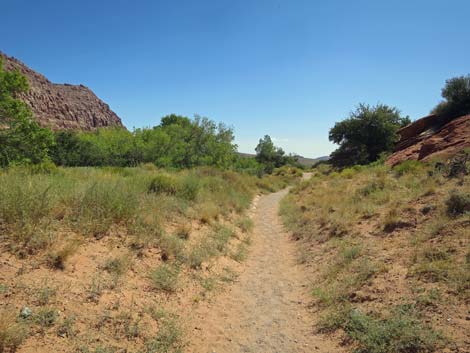
 Trail runs along the seasonal stream (view NW) |
 Trail forks; stay right above the seasonal stream (view NW) |
 Trail runs above the seasonal stream (view NW) |
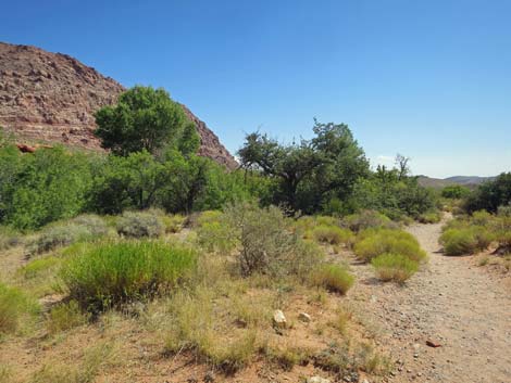
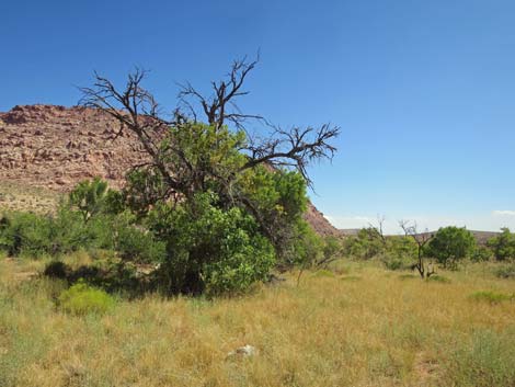
 Nice view out across the meadow and ash trees (view W) |
 Low, caliche cliffs with lots of shadow places (view NW) |
 Route turns down into the seasonal stream bed (view NW) |
 Following the seasonal stream bed (view W) |
 A log is useful for crossing the seasonal stream (view W) |
 Old ash snag along the seasonal stream (view NW) |
 Use-trails merge and diverge; stay right (view W) |
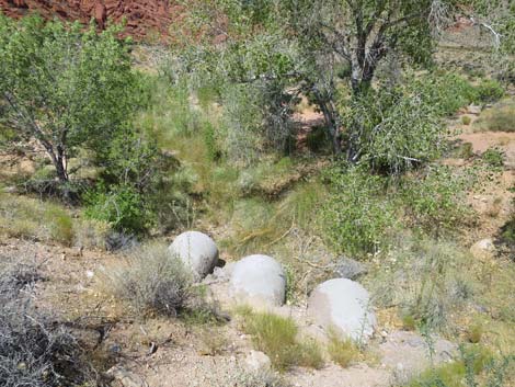
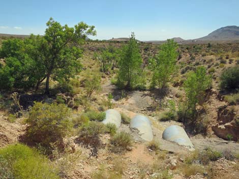
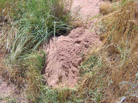 Valley Pocket Gopher mound in the Lower Meadow |
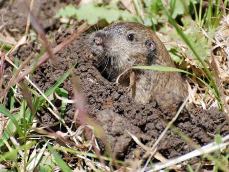 Valley Pocket Gopher |
 Use-trail crosses a meander in the wash (view NW) |
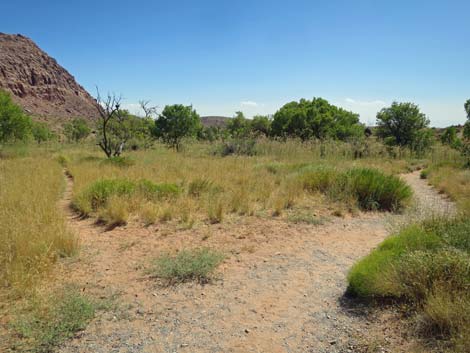
 Trail forks; stay right (view NW) |
 Trail crosses seasonal stream below a low waterfall (view NW) |
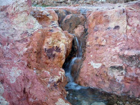 Small waterfall flowing during winter |
 Trail climbs onto west side of seasonal stream (view NW) |
 Stream flow during late spring (view N) |
 Lots of ash trees (view W) |
 Approaching seasonal water hole (view N) |
 Seasonal water hole (view N) |
 Red-spotted Toad in the stream |
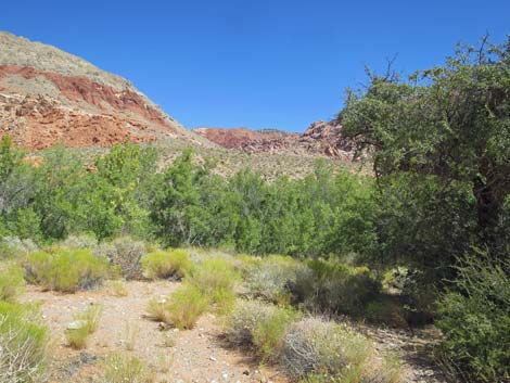
 Meadow with ash trees (view W) |
 Meadow with ash trees (view NW) |
 Trail crosses to east side of the seasonal stream (view W) |
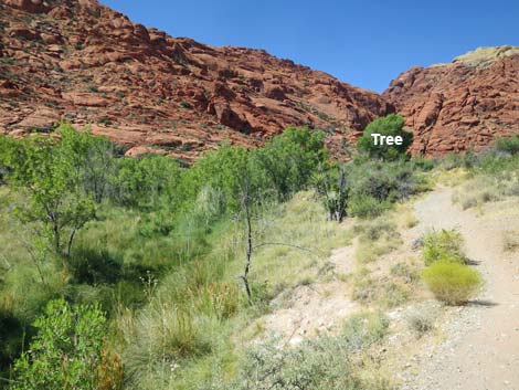 Use-trail runs out towards a tall, isolated ash tree (view W) |
 Use-trail runs out to a tall, isolated ash tree (view W) |
 Trail drops into the wash beneath the isolated tree (view W) |
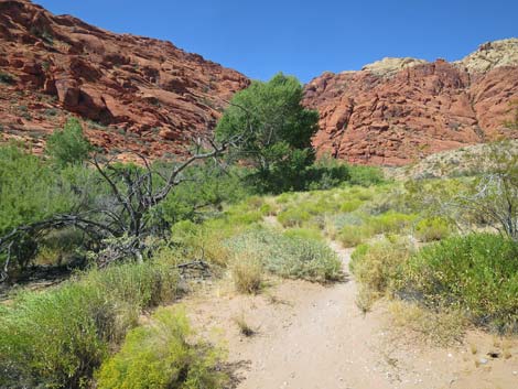
 Thicket of ash trees (view W) |
 Thick grass along the edge of the trail (view W) |
 Trail follows the wash bottom (view NW) |
 More thick grass along the edge of the trail (view W) |
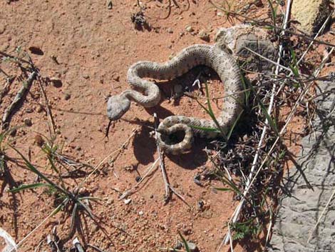 Sidewinder along the trail |
 Thick grass and shrubs on the edge of the trail (view W) |
 Approaching the slab of red slickrock (view NW) |
 Exiting the slab of red slickrock (view NW) |
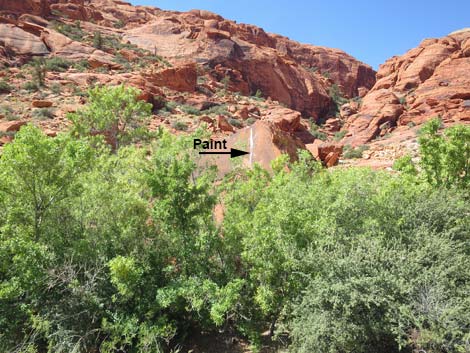 Paint mark is visible on boulder across the wash (view W) |
 Trail drops steeply into the wash (view NW) |
 Trail climbs steeply out of the wash (view NW) |
 Approaching the enormous boulders (view SW) |
 Passing between the enormous boulders (view SW) |
 Dense vegetation below the spring (view W) |
 Approaching the spring (view W) |
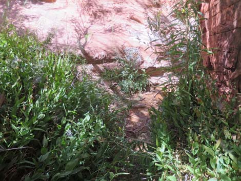 Seeps at edge of the cliffs (view W) |
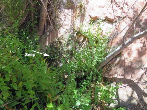 Seeps at edge of the cliffs (view S) |
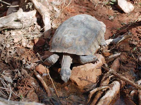 Desert Tortoise drinking from Ash Spring |
 Departing the spring (view E) |
 Crossing the wash while departing the spring (view E) |
 Returning to the slab of red slickrock (view SE) |
 Route exits right from the slab of red slickrock (view SE) |
 Route follows wash bottom for 40 yards (view SE) |
 Trail climbs out of the wash bottom (view SE) |
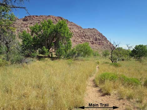
 The main trail is easy to follow (view SE) |
 Lots of ash trees along the trail (view SE) |
 Ash thickets along the seasonal stream bed (view E) |
 Returning, the trail stays along the base of the cliffs (view SE) |
 This big, old ash tree has seen better days (view E) |
 Trail forks, but main trail is easy to follow (view SE) |
 Side-trails offer access to the middle of the meadow (view E) |
 On hot days, this is a nice shade tree (view SE) |
 Arizona Thistle going to seed during late summer (view SE) |
 Trail forks; stay along the base of the hillside (view SE) |
 Ash Spring Meadow (view N) |
 Ash Spring Meadow (view NE) |
 Along the meadow, the trail stays above the wash (view SE) |
 Above the wash, the trail crosses white slickrock (view E) |
 Trail stays right through the Lower Meadow (view SE) |
 Trail stays right through the Lower Meadow (view SE) |
 Approaching cottonwood trees at the edge of the road (view SE) |
 Cottonwood trees at the edge of the road (view E) |
 Trail climbs the berm back to the roadway (view SE) |
 Trail returns to the old gravel road (view SE) |
 Old gravel road runs back towards the trailhead (view E) |
 Wet area off the upstream side of the road (view NW) |
 Wet area off the downstream side of the road (view NW) |
 Returning to the trailhead parking area (view E) |
Table 1. Hiking Coordinates and Distances based on GPS Data (NAD27; UTM Zone 11S). Download Hiking GPS Waypoints (*.gpx) file.
| Wpt. | Location | UTM Easting | UTM Northing | Elevation (ft) | Point-to-Point Distance (mi) | Cumulative Distance (mi) |
|---|---|---|---|---|---|---|
| 01 | Trailhead | 642053 | 4002295 | 3,679 | 0.00 | 0.00 |
| 02 | Depart Old Road | 641884 | 4002277 | 3,674 | 0.11 | 0.11 |
| 03 | Trail Forks | 641839 | 4002300 | 3,671 | 0.04 | 0.14 |
| 04 | Seasonal Stream | 641810 | 4002349 | 3,676 | 0.04 | 0.18 |
| 05 | Trail Forks | 641660 | 4002372 | 3,699 | 0.12 | 0.30 |
| 06 | Water Hole | 641624 | 4002426 | 3,709 | 0.05 | 0.35 |
| 07 | Drop into Wash | 641456 | 4002476 | 3,750 | 0.13 | 0.48 |
| 08 | Red Slickrock | 641265 | 4002491 | 3,779 | 0.14 | 0.62 |
| 09 | Ash Spring | 641204 | 4002481 | 3,785 | 0.06 | 0.68 |
| 10 | Trail Forks | 641595 | 4002345 | 3,738 | 0.28 | 0.96 |
| 11 | White Slickrock | 641701 | 4002341 | 3,720 | 0.07 | 1.03 |
| 12 | Return to Old Road | 641867 | 4002271 | 3,704 | 0.12 | 1.15 |
| 01 | Trailhead | 642053 | 4002295 | 3,679 | 0.12 | 1.27 |
Happy Hiking! All distances, elevations, and other facts are approximate.
![]() ; Last updated 240329
; Last updated 240329
| Hiking Around Red Rocks | Hiking Around Las Vegas | Glossary | Copyright, Conditions, Disclaimer | Home |