Hiking Around Las Vegas, Red Rock Canyon National Conservation Area
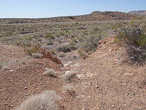
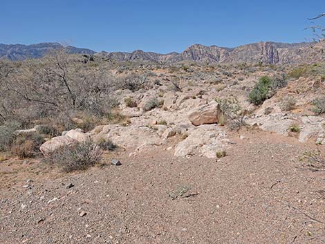
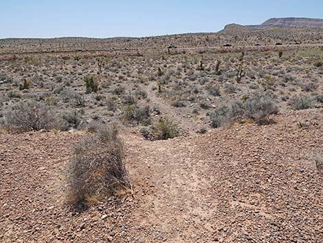
 White Cross Trailhead (view NW) |
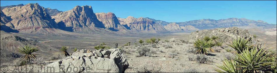
Overview The Ridgeline Loop Trail is a moderate 5.1-mile hike that climbs onto ridges that lie between Highway 160 and Blue Diamond town, runs westward to a rocky promontory overlooking Cottonwood Valley and the Red Rock Escarpment, loops back towards Blue Diamond (close enough to stop for a soda), and then runs back through a gap in the ridge to the trailhead. Because a plethora of mountain bike trails crisscross the area, various longer looping options are possible. Also because of the plethora of mountain bike trails, getting started on the right trail is a bit confusing. Using GPS waypoints will help, but hikers should be able to "feel their way along" and get there soon enough. Link to trail map. |
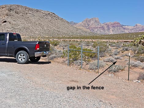
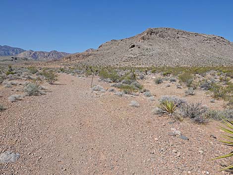
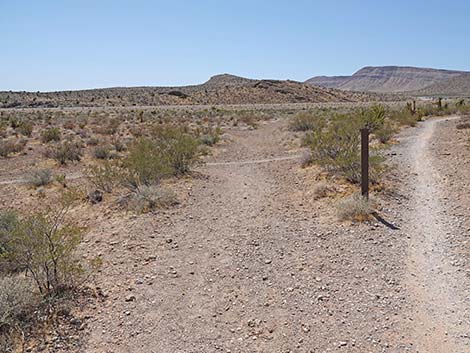
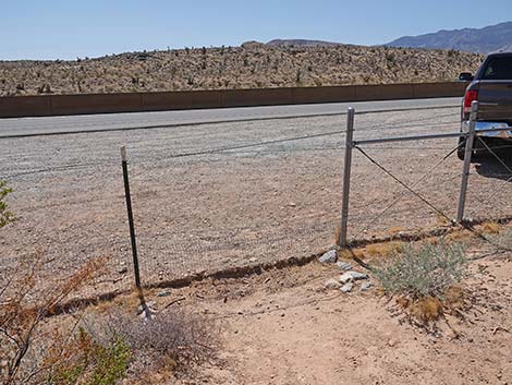
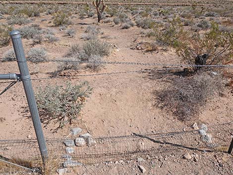 Trails start through a gap in the fence (view N) |
Watch Out Other than the standard warnings about hiking in the desert, ... this hike is fairly safe with no unusual hazards. Pulling in and out of the trailhead parking is another matter. Watch the highway traffic carefully as most vehicles going downhill will be traveling in excess of 70 mph. When ready to leave, chill-out for a moment, let the traffic clear, and then pull out safely. This trail is accessed from the "White Cross" trailhead; consider carefully what that means. While hiking, please respect the land and the other people out there, and try to Leave No Trace of your passage. Also, be sure to bring what you need of the 10 Essentials. |
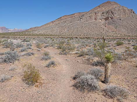
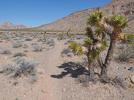
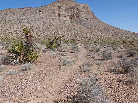
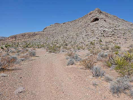
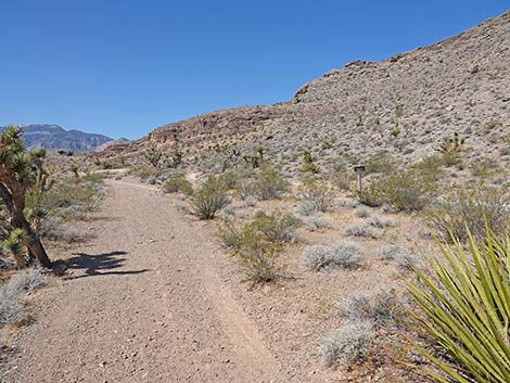
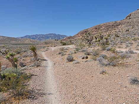
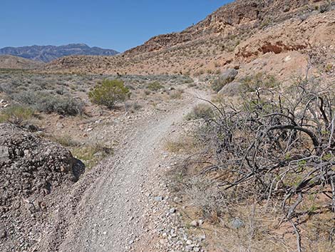
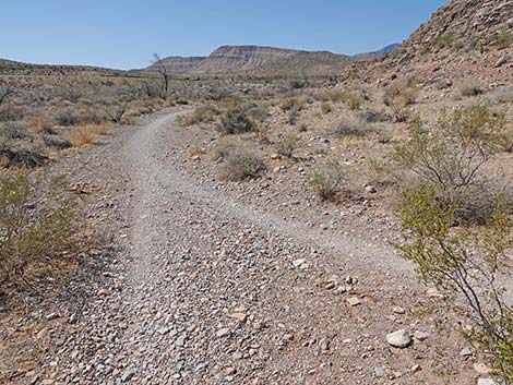
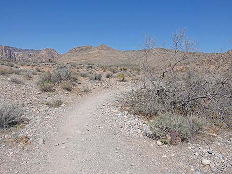
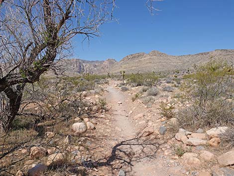
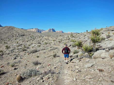
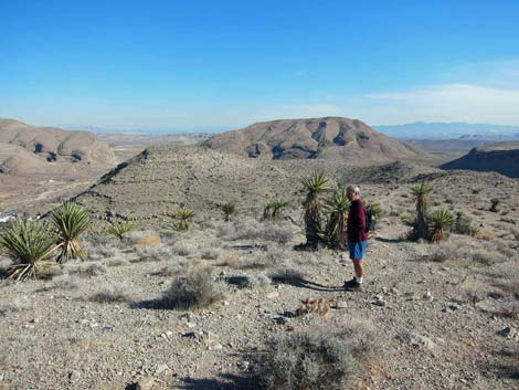
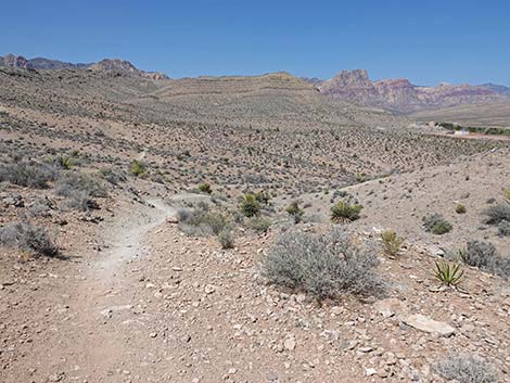
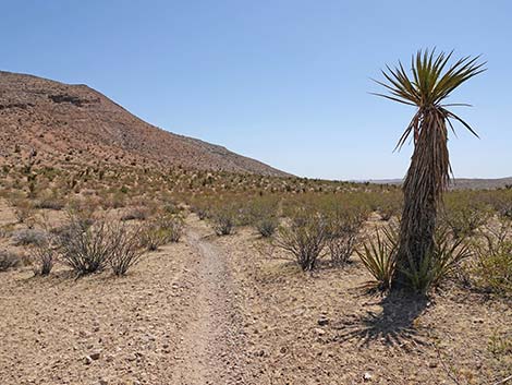
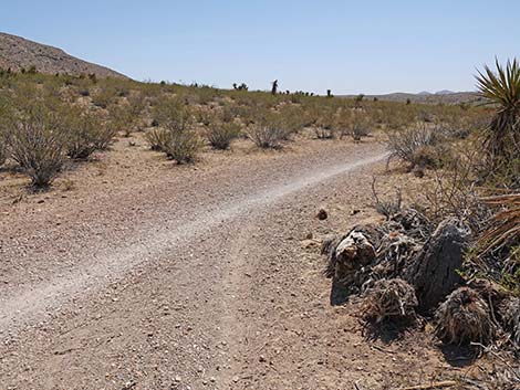
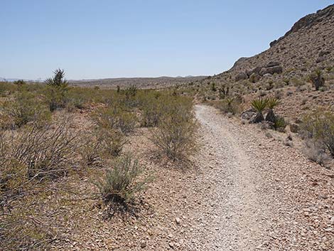
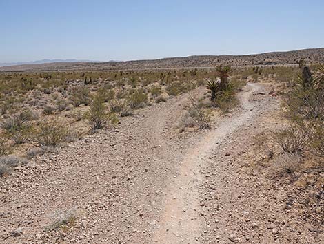
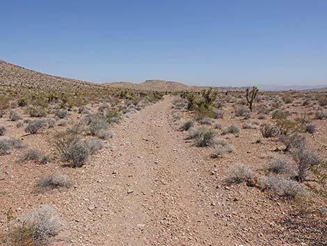
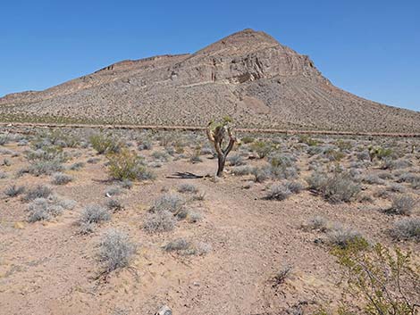 The trail starts heading north past a small Joshua Tree (view N) |
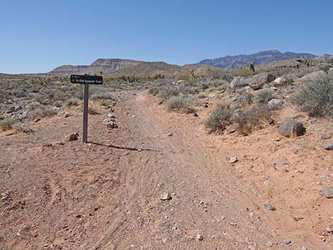
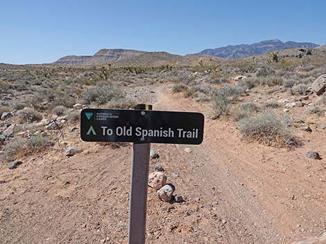
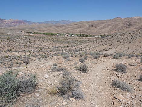
Getting to the Trailhead This hike is located in Red Rock Canyon NCA, but not in the Scenic Loop Road fee area. From the Red Rock Visitor Center area, drive west then south on West Charleston Blvd (Hwy 159), past Blue Diamond Town, to Highway 160. Turn right onto Highway 160 and drive west 1.8 miles to White Cross Trailhead, which is an unofficial pullout along the side of the highway just past the Red Rock Canyon NCA boundary sign. The trail starts near the middle of the parking area and runs north towards the wash. |
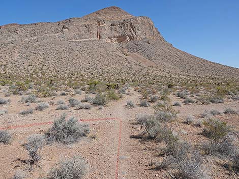
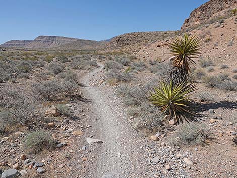
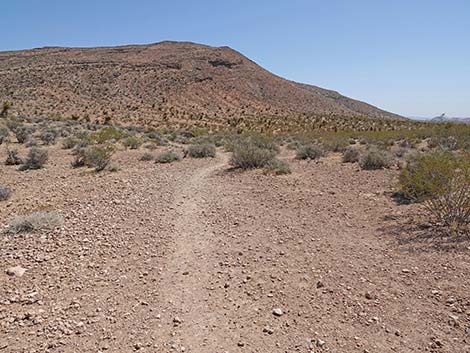
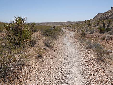
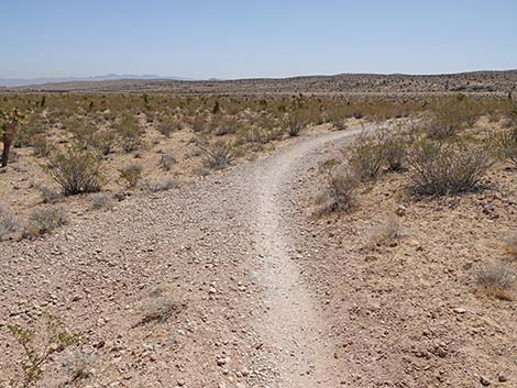
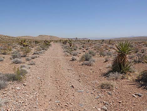
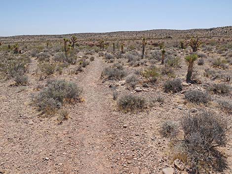
 The trail continues past a smaller Joshua Tree (view N) |
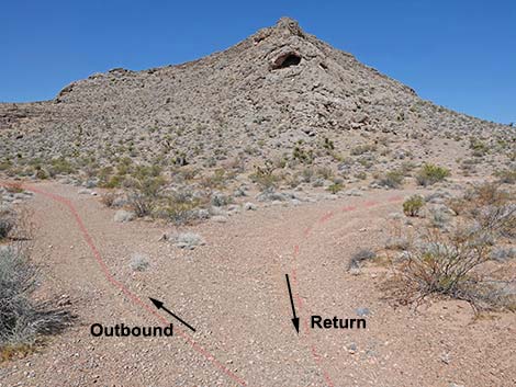
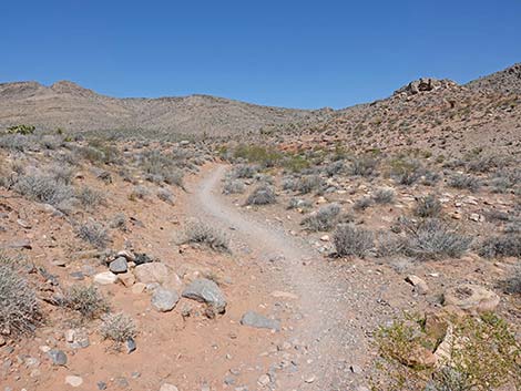
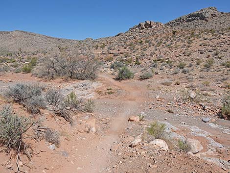
The Hike From the trailhead (Table 1, Waypoint 01), hikers need to jump the highway fence and hike north on a bike-trail towards Cottonwood Wash. The trail drops to cross the wash, climbs the far bank, and arrives as an old road (Wpt. 02). Turning left, the old road runs west along the north bank of Cottonwood Wash. Near the base of a rocky ridge, hikers encounter another trail junction (Wpt. 03). Here begins the loop in the trail. Hiker can do the loop in either direction, but as described here, the trail continues southwest. Hikers will return to this point to close the loop. Continuing west, there is some well-defined trail and some confusing multiple trailing. Hikers next arrive at a trail junction (Wpt. 04) where either trail works. Staying left on the lower trail, hikers continue along the north bank of Cottonwood Wash staying below cliffs. The trail eventually drops back into the wash and continues southwest. Just past the cliffs, the trail crosses a side wash coming down along the west side of the cliffs. |
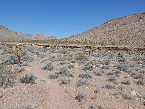
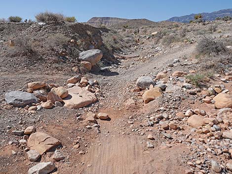
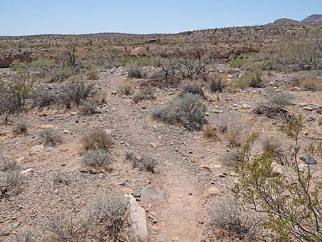
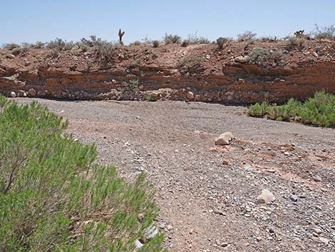
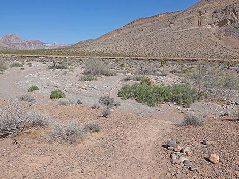 Trail arriving at edge of Cottonwood Wash (view NW) |
Just across the side wash, the trail encounters another trail junction (Wpt. 05). Here, the trail turns right up along the side wash heading northwest. At this point, trails seem to be going in all directions, but the loop trail runs northwest and away from Cottonwood Wash. The trail crosses the side wash to the northeast side and shortly arrives at another fork in the trail (Wpt. 06). The trail stays left, and for about 20 yards, the trail continues along the side wash to yet another trail junction (Wpt. 07). Here, the trail turns right to head due north. In another 25 yards, the trail reaches another fork (Wpt. 08). Had hikers chosen the higher trail back at a previous fork (Wpt. 04), they would have joined the loop trail at this point. This trail, which seems like the obvious choice (almost looks like an old road) starts up and right across the hillside, but that is the wrong way. Staying left on the narrower trail (Wpt. 08), the loop trail runs across flattish country below the hills. |
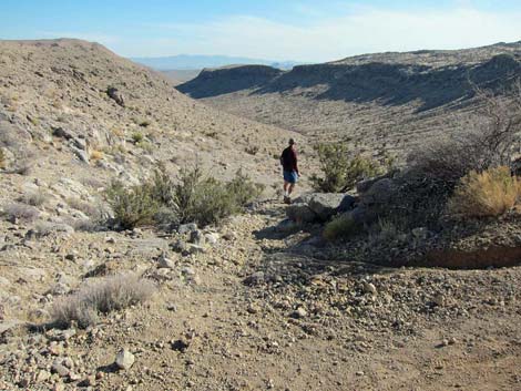
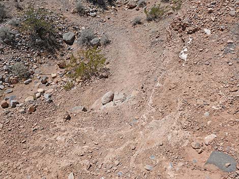
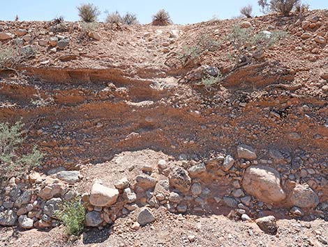
 Steep drop into Cottonwood Wash (view N) |
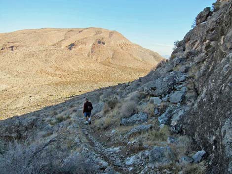
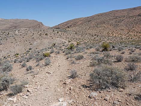
After all of this confusion, hikers are only 0.8 miles from the trailhead, but the confusion stops here. The trail eventually begins to climb the hillside, and from here on, the problem of multiple-trailing is left behind. As with most bike trails, the grade is gentle as the trail climbs to hear the ridgeline (Wpt. 09). In what might seem unusual to hikers, bike trails often skip high points, and this trail never quite gets to the top of the ridge, but it does provide tantalizing views of the tops of the Red Rock Escarpment far to the west. Running near the top of the ridge and heading west, the trail drops into and cross a gully, which from the perspective on the ridge (Wpt. 10), is ahead and down to the left. |
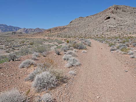
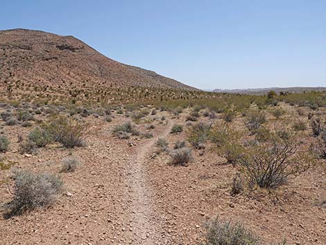
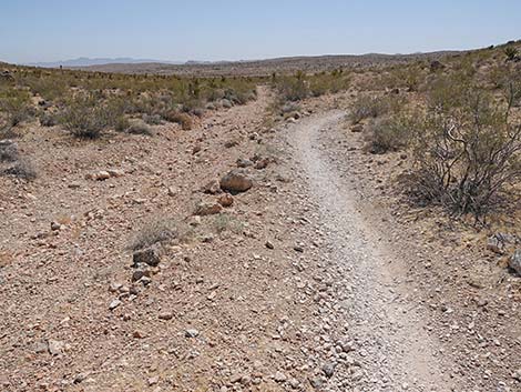
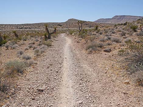
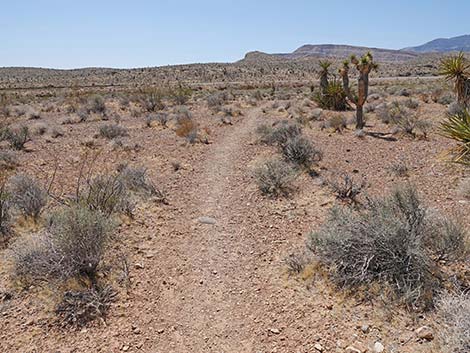
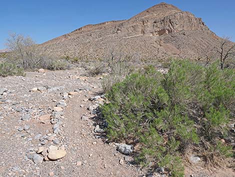 Trail continues past a Mojave Rabbitbrush bush (view N) |
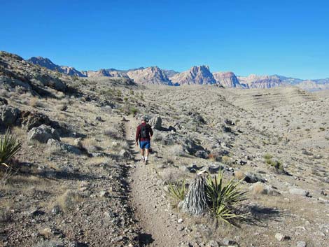
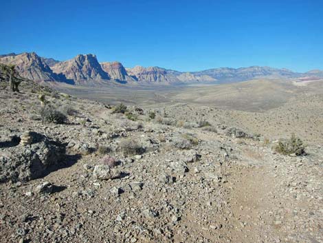
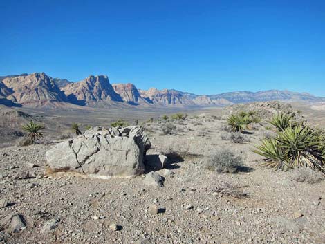
Crossing the gully (Wpt. 10), the trail switchbacks up the far side and eventually touches the next ridgeline (Wpt. 11), providing great views back down to Highway 160 and point southeast. Continuing westward, the trail eventually climbs high and provides great views of the Red Rock Escarpment, with nice views of Blue Diamond and the gypsum quarry in a few places, and even the Las Vegas urban area in the distance. |
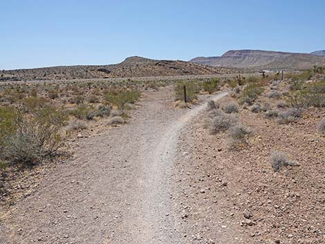
 Trail continues past another Eastern Joshua Tree (view N) |
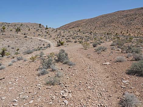
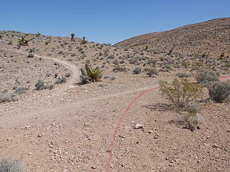
About half-way out the length of the ridge (Wpt. 12), a faint side trail branches off to the left. This trail becomes more obvious as it gains the top of the ridge and continues west to the far end of the ridge. However, continuing on the obvious "main trail" at this point, the loop trail drops off the ridgeline to the north and crosses the head of a canyon on a side-ridge. At the far end of the side-ridge (Wpt. 13), a short spur ridge (0.1 miles; no trail) leads to a rocky knob and a great lunch break area (Wpt. 14). Back on the loop trail (Wpt. 13), the trail begins winding down the hillside into the canyon that forms the north side of the main Ridgeline ridge. From this view, an obvious trail sweeps down the side of the opposite ridge. This obvious trail is one choice, but at a T-intersection (Wpt. 15) obscured by a rocky outcrop, a right turn provides an alternate with a bit of shade, at least during winter. |
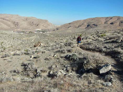
 Trail continues across Cottonwood Wash (view N) |
Staying to the right, the loop trail winds along the rocky hillside, eventually touching limestone cliffs before turning steeply downhill as if to slide into Blue Diamond Town (Wpt. 16). Staying to the right at all trail junctions (back into the multiple-trailing zone), the loop trail eventually bends back to the south and runs through a gap in the hills leading towards Highway 160. On a bluff overlooking Cottonwood Wash (Wpt. 17), the trail turns southwest, and the trailhead eventually comes into view. Many trails are possible, but hikers can return to the north bank of Cottonwood Wash (Wpt. 03), turn left along Cottonwood Wash following the old road to a trail junction (Wpt. 02), and turn right to cross Cottonwood Wash and return to the trailhead (Wpt. 01). |
 Approaching the far side of Cottonwood Wash (view N) |
 A pile of loose rock helps climb out of Cottonwood Wash (view NE) |
 Back on easy terrain (view N) |
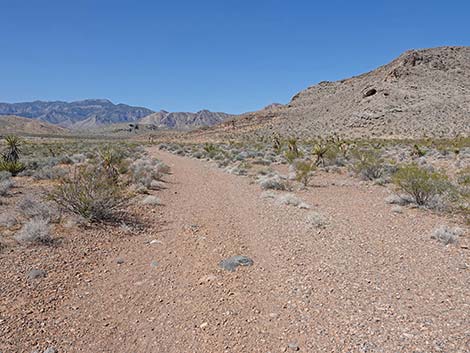
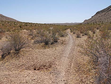
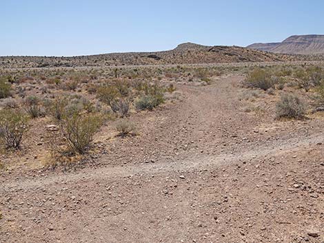
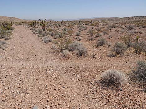
 Arriving at a trail junction with an old road (view N) |
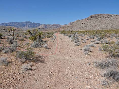 Trail turns left to run west (view W) |
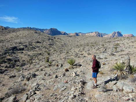
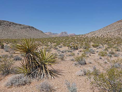 Grand scenery (view NW towards Red Rock Cliffs) |
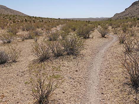
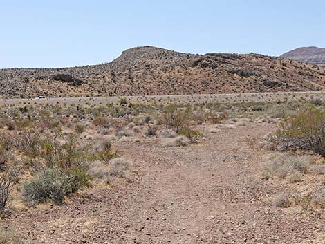
 Trail approaches another trail junction: continues straight (view W) |
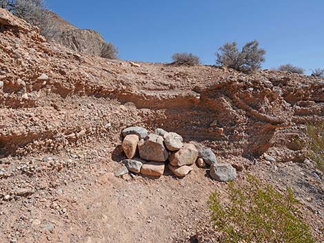
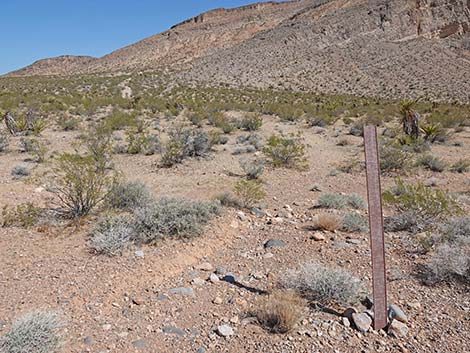 Carsonite post probably used to prohibit vehicles on side trail (view N) |
 The dark green shrubs here are Creosote Bush (view W) |
 The white shrubs here are White Bursage (view W) |
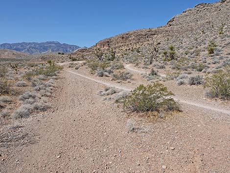
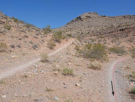
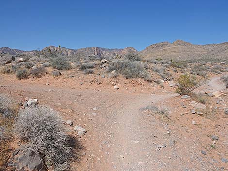
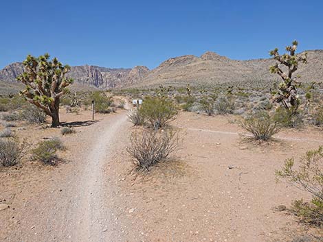
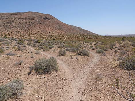
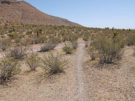
 Ridgeline Trail approaching a fork in the trail (view W) |
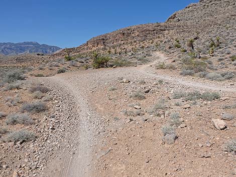
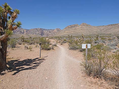
 Fork in the trail: stay left to begin the loop (view NW) |
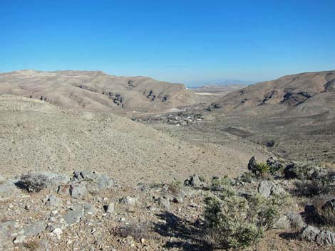
 Looking north, Blue Diamond is just below the second hilltop |
 The trail continues left (view |
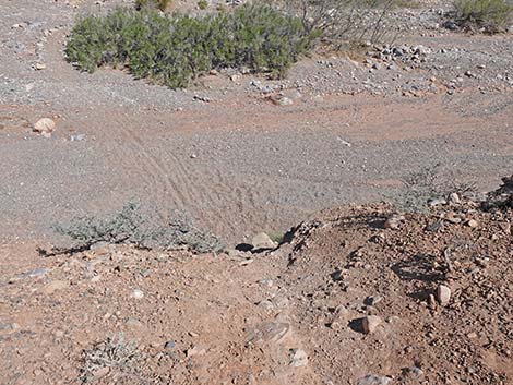
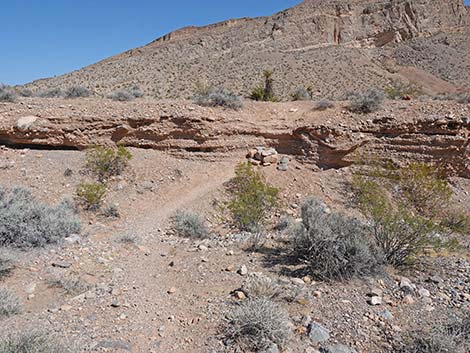
 The trail passes a washout that leads into Cottonwood Wash (view S) |
 A parallel trail can be seen below the rocky hillside (view SW) |
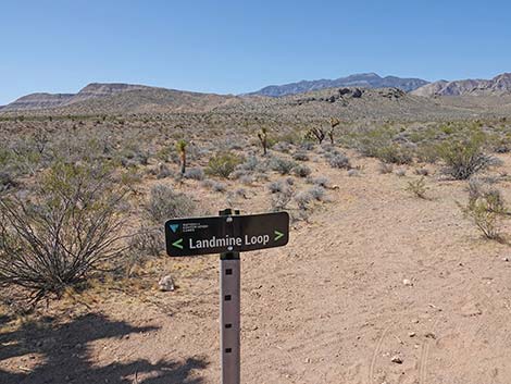
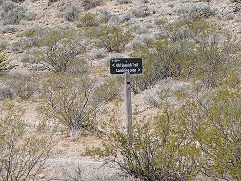 Sign on the adjacent trail (view N) |
 Multiple trailing (view SW) |
 Parallel trails (view SW) |
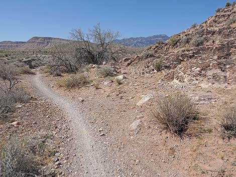
 Two trails diverge: either works, but this trail stays left (view SW) |
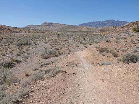 Trail continues to the edge of Cottonwood Wash (view SW) |
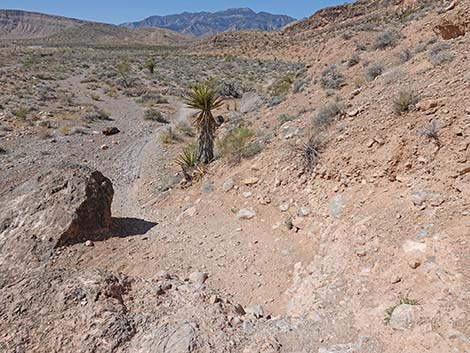 Trail drops steeply into Cottonwood Wash (view SW) |
 Trail follows the north edge of Cottonwood Wash (view SW) |
 Passing a Mojave Yucca (view SW) |
 Trail continues along the edge of Cottonwood Wash (view SW) |
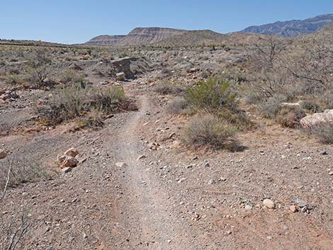
 Approaching a trail junction (view SW) |
 Trail junction: continues straight (view SW) |
 Looking back: side trail runs up hillside (view NE) |
 Trail continues around toe of cliffs (view SW) |
 Trail arriving at a side wash that comes from the right (view SW) |
 Hikers could short-cut across boulders to bypass some trail (view W) |
 Crossing the side-wash, another trail junction (view SW) |
 Past side-wash, trail climbs out of washes (view NW) |
 Trail continues along side-wash (view NW) |
 Trail continues (view NW) |
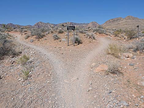 The trail forks (view NW) |
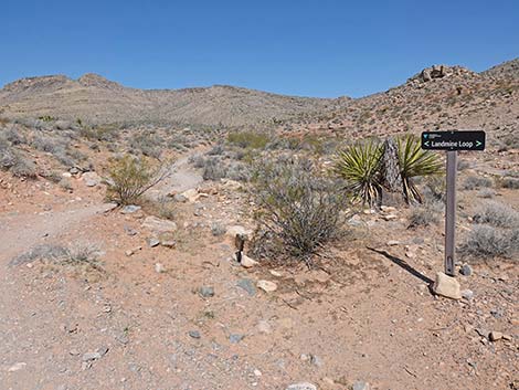
 Sign at fork in the trail (view NW) |
 The trail stays right past this sign (view N) |
 Very quickly, another fork in the trail (view NW) |
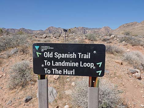
 Sign at this fork (view N) |
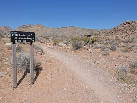
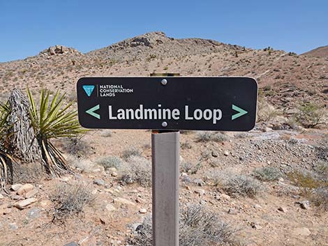 Sign at this fork (view N) |
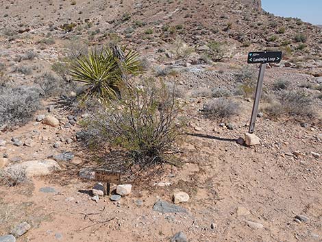 New and old signs at this fork (view N) |
 The other fork runs southwest |
 Sign for the other trail (view SW) |
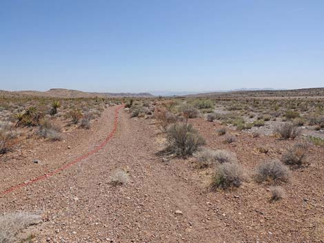
 Ridgeline Loop Trail continues up along the side-wash (view NW) |
 Ridgeline Loop Trail drops to cross the side-wash again (view NW) |
 The trail continues under a Desert Willow Tree (view W) |
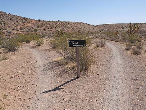
 Ridgeline Loop Trail approaching yet another junction (view W) |
 Ridgeline Loop Trail at junction (view W) |
 North-facing sign at junction (view S) |
 Looking back: sign at the fork (view E) |
 Looking back: sign at the fork (view E) |
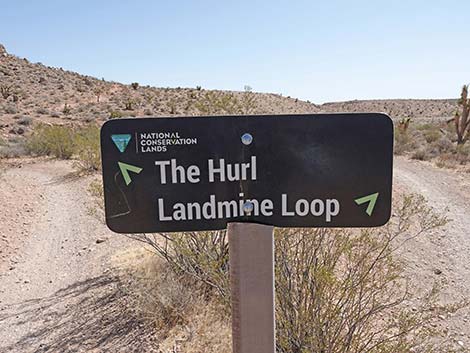
 Ridgeline Loop Trail bends hard right onto "The Hurl" trail (view NE) |
 Quickly, another trail junction: stay left (view NE) |
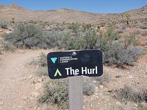
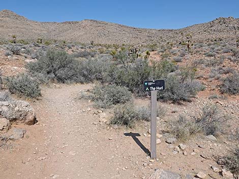 Sign at trail junction (view N) |
 Trail turns left to follow "The Hurl" trail (view N) |
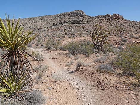
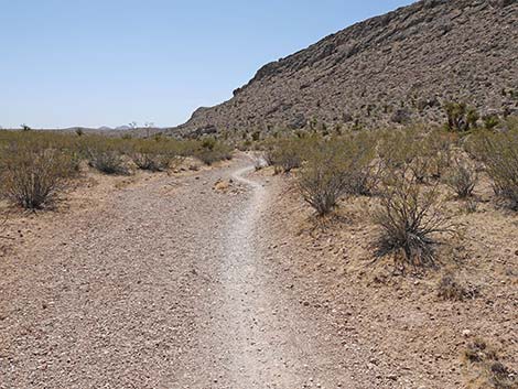
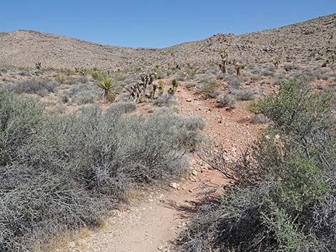 No more confusing trail junctions for awhile (view N) |
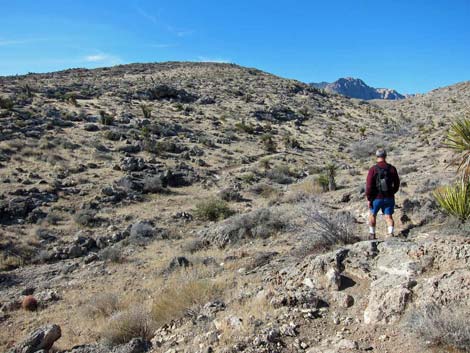
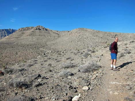 Hiker on the ridge (view NW) |
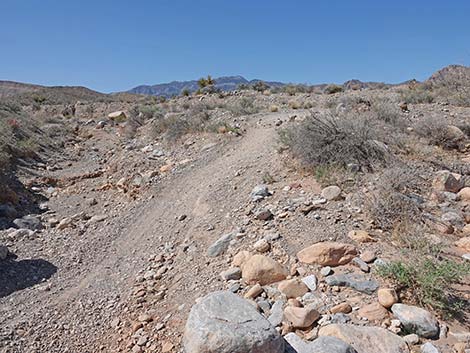
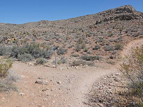
 Trail never quite climbs to the ridgeline (view NW) |
 Getting ready to cross to the next ridge (view W) |
 Dropping into the gully (view W) |
 Hiking on the second ridge (view NW) |
 View into Blue Diamond Town; Las Vegas in the distance (view NE) |
 Starting down off the ridgeline, beginning to loop back (view NW) |
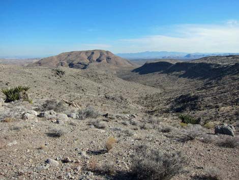 Canyon just north of the main ridge (view E) |
 From the trail, look towards lunch-break knob (view NW) |
 Starting down and back to the east (view E) |
 Trail intersection to the shady-side trail (view E) |
 Nearing Blue Diamond Town (view NE) |
 Catching some winter shade (view E) |
 Trail eventually turns downhill towards Blue Diamond Town (view N) |
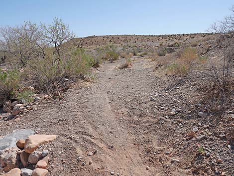
 The trail appears to continue north forever (view N) |
 Approaching a junction with an old road (view N) |
 Trail turns right onto old road (view N) |
 Looking the wrong way, but one last view of the RR Cliffs (view NW) |
 The old road continues across gentle terrain (view SE) |
 Trail stays right at a fork (view E) |
 Trail continues across gentle terrain (view SE) |
 Passing an unusually tall Mojave Yucca (view SW) |
 Trail continues down across gentle terrain (view SE) |
 Trail continues down across gentle terrain (view SE) |
 Trail approaching another fork (view SE) |
 Trail stays right merging onto another old-road trail (view SE) |
 Trail follows the old-road trail (view SE) |
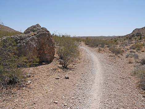 Trail passes a large boulder that fell from the hillside (view SE) |
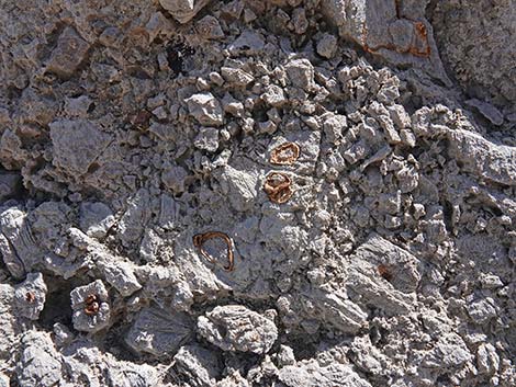 Brown fossils in the gray limestone boulder |
 Tiny desert garden atop the gray limestone boulder |
 The trail continues down the canyon (view SE) |
 The trail continues down the canyon (view SE) |
 The trail continues down the canyon (view SE) |
 Highway 160 comes back into view (view SE) |
 The trail continues down the canyon (view SE) |
 The trail continues down the canyon (view S) |
 Approaching another fork in the trail (view S) |
 The Ridgeline Loop Trail stays left onto a lesser-used trail (view S) |
 A bike trail crosses the lesser-used trail (view S) |
 Arriving at a fork in the trail: stay left (view S) |
 The trail stays left onto the old road - and the loop is closed (view E) |
 Trail follows the old road (view E) |
 Approaching a bike trail crossing the old road (view E) |
 Trail turns right onto the bike trail (view SE) |
 Trail continues towards Cottonwood Wash (view S) |
 Arriving at the edge of Cottonwood Wash (view S) |
 Steep drop into Cottonwood Wash (the rocks are loose; view S) |
 Trail continues across Cottonwood Wash (view S) |
 Trail continues across Cottonwood Wash (view S) |
 Trail returns past that Mojave Rabbitbrush bush (view S) |
 Steep out of Cottonwood Wash (rocks were solid; view S) |
 Trailhead parking comes into view (view S) |
 Approaching the trailhead (view S) |
 Arriving back at the trailhead (view S) |
 More to come ... |
Table 2. Hiking Coordinates and Distances based on GPS Data (NAD27; UTM Zone 11S). Download Hiking GPS Waypoints (*.gpx) file.
| Wpt. | Location | UTM Easting | UTM Northing | Elevation (ft) | Point-to-Point Distance (mi) | Cumulative Distance (mi) |
|---|---|---|---|---|---|---|
| 01 | Trailhead | 644929 | 3988602 | 3,484 | 0.00 | 0.00 |
| 02 | Access Point | 644873 | 3988796 | 3,484 | 0.14 | 0.14 |
| 03 | Fork in Trail | 644543 | 3988695 | 3,467 | 0.21 | 0.35 |
| 04 | Fork in Trail | 644449 | 3988638 | 3,481 | 0.07 | 0.42 |
| 05 | Fork in Trail | 644213 | 3988330 | 3,498 | 0.26 | 0.68 |
| 06 | Fork in Trail | 644077 | 3988408 | 3,512 | 0.11 | 0.79 |
| 07 | Fork in Trail | 644059 | 3988406 | 3,514 | 0.01 | 0.80 |
| 08 | Fork in Trail | 644061 | 3988429 | 3,508 | 0.01 | 0.81 |
| 09 | Near Ridgetop | 644014 | 3989020 | 3,755 | 0.63 | 1.44 |
| 10 | Cross Gully | 643851 | 3989058 | 3,724 | 0.12 | 1.56 |
| 11 | Overlook to SW | 643749 | 3988932 | 3,784 | 0.18 | 1.74 |
| 12 | Fork in Trail | 642668 | 3989463 | 4,054 | 0.95 | 2.69 |
| 13 | Spur to Knob | 642708 | 3989770 | 4,000 | 0.27 | 2.96 |
| 14 | Knob | 642659 | 3989921 | 3,957 | . | . |
| 15 | Fork in Trail | 642754 | 3989646 | 3,877 | 0.16 | 3.12 |
| 16 | Fork in Trail | 644072 | 3989354 | 3,540 | 1.09 | 4.21 |
| 17 | Fork in Trail | 644250 | 3989246 | 3,521 | 0.14 | 4.35 |
| 03 | Fork in Trail | 644543 | 3988695 | 3,467 | 0.40 | 4.75 |
| 02 | Trail Junction | 644873 | 3988796 | 3,484 | 0.21 | 4.96 |
| 01 | Trailhead | 644929 | 3988602 | 3,484 | 0.14 | 5.10 |
Happy Hiking! All distances, elevations, and other facts are approximate.
![]() ; Last updated 250407
; Last updated 250407
| Hiking Around Red Rocks | Hiking Around Las Vegas | Glossary | Copyright, Conditions, Disclaimer | Home |