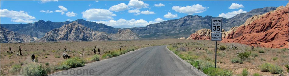
Backroads Around Las Vegas, Red Rock Canyon National Conservation Area
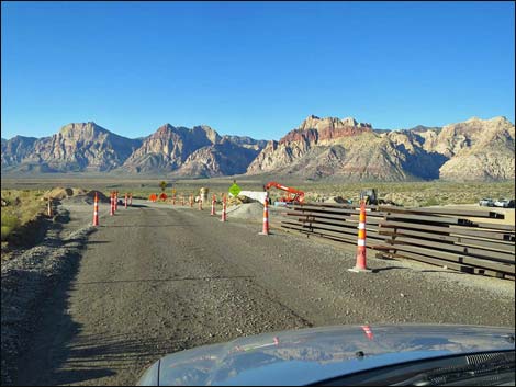
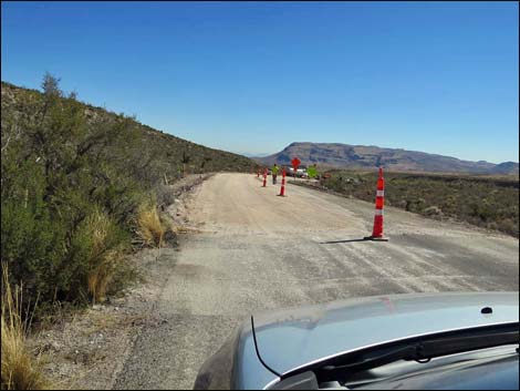
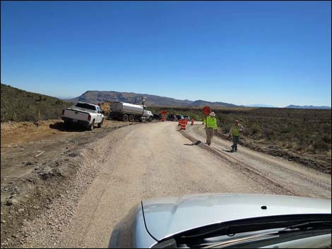
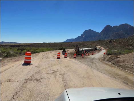
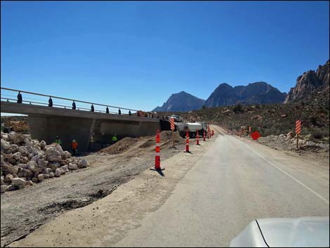
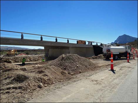
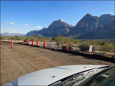
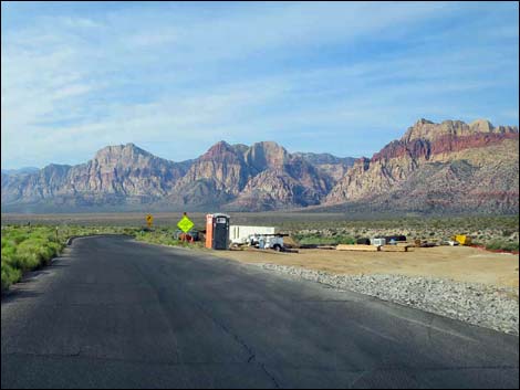 Sandstone Wash construction zone (April 24, 2015) |
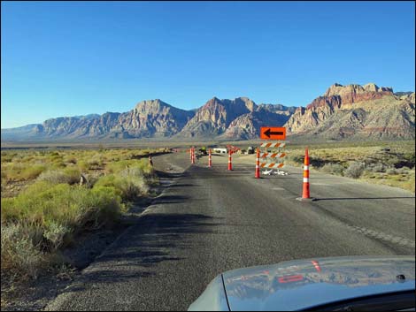
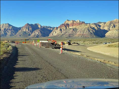
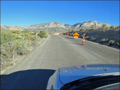
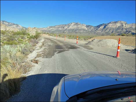
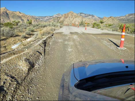
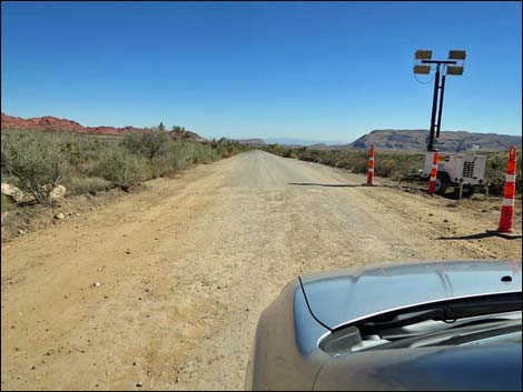
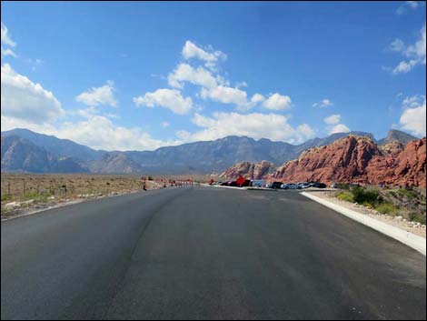
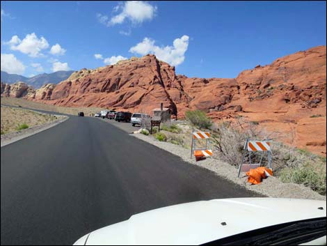
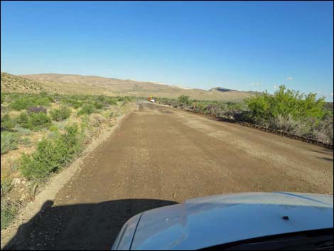
Overview The Red Rock Canyon Scenic Loop Road is the main paved road through Red Rock Canyon National Conservation Area. The road was repaved and parking areas were enlarged. Presented here are a few photos taken during construction. Link to Road Map. |
 |
 |
 |
 |
 |
 |
 |
 |
 |
 |
 |
 |
 Calico I Trailhead is open and almost finished |
 Calico II Trailhead is open and almost finished |
 Sandstone Quarry is closed |
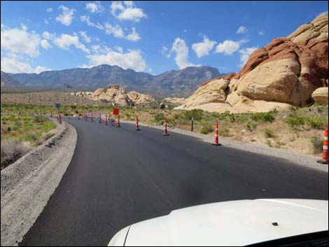
 Repaving activity past the Highpoint Overlook |
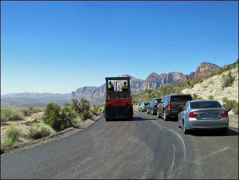
 Repaving activity near Pine Creek |
 Repaving activity near Pine Creek |
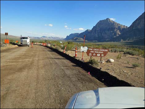
 Pine Creek Trailhead is closed Pine Creek Trailhead is closed |
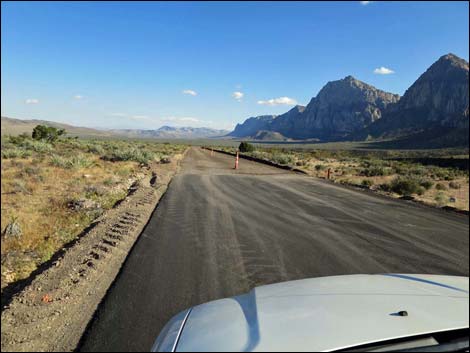
 Repaving activity past Pine Creek |
Happy Hiking! All distances, elevations, and other facts are approximate.
![]() ; Last updated 240330
; Last updated 240330
| Backroads | Hiking Around Las Vegas | Glossary | Copyright, Conditions, Disclaimer | Home |