Hiking Around Las Vegas, Red Rock Canyon National Conservation Area
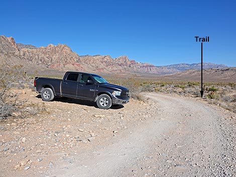 Mustang Loop Trailhead parking along Black Velvet Road (view N) |
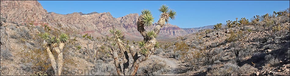
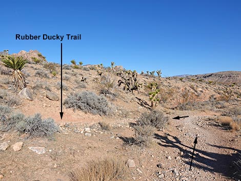
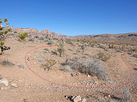
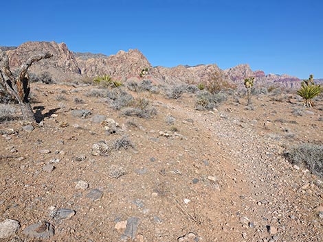
Overview Rubber Ducky Trail is a fairly easy trail that runs about 1.25 miles total. The trail runs out about 1/4 miles, makes a 3/4-mile loop past the Rubber Ducky Tree, then returns over the same 1/4-mile trail to the trailhead. The trail generally runs through diverse vegetation typical of the Mojave Desert Scrub habitat type, and during much of the hike, the sandstone cliffs, which are inside the Rainbow Mountain Wilderness Area, loom high above the landscape. The attraction on this hike is the Rubber Ducky Tree, an Eastern Joshua Tree, where misguided people like to stop and hang rubber ducks on the tree. While a few might seem cute, the tree gets so loaded with rubber ducks and other debris that is created a mess that other people need to clean up. Link to map. |
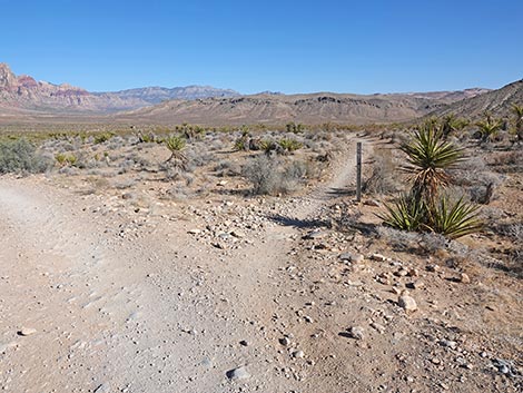
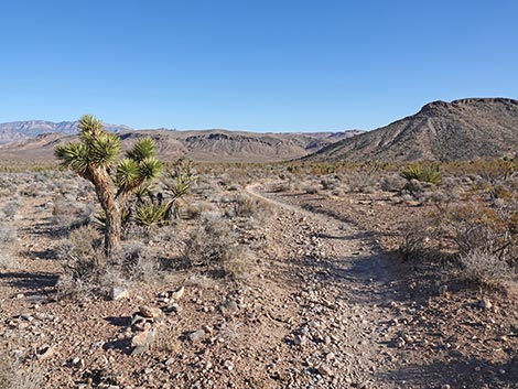
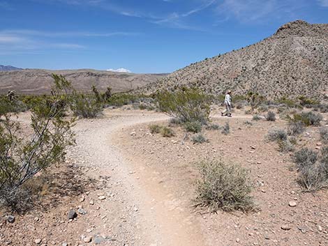
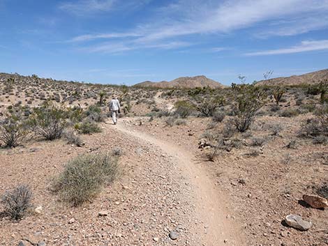
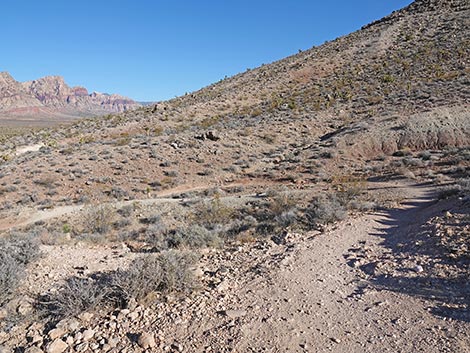
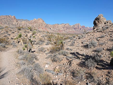
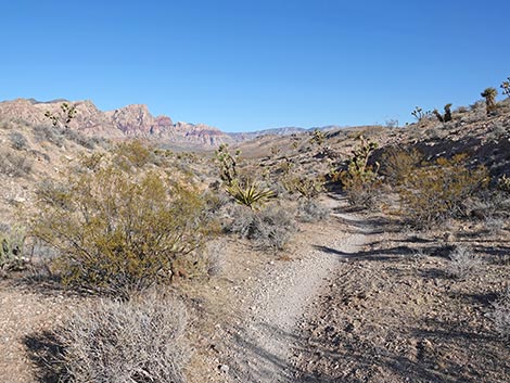
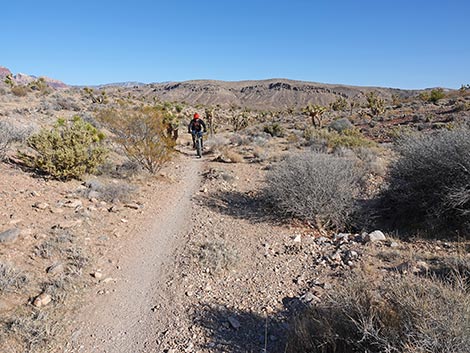
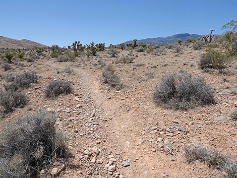
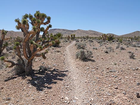
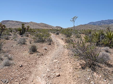
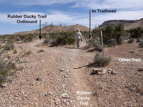
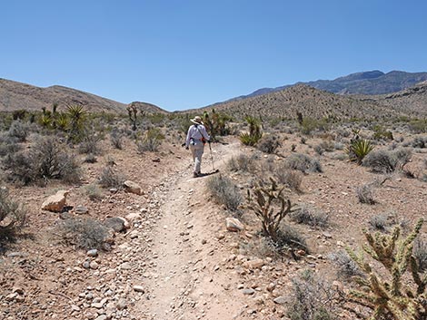
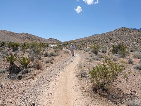
 Start of the trail (view N) |
Watch Out Other than the standard warnings about hiking in the desert, ...this hike is fairly short and safe with no unusual hazards, other than mountain bikers careening down the trail. Without a medium-clearance vehicle, hikers might want to stay on the pavement and walk the extra distance (0.52 miles) from the Late Night Trailhead. While hiking, please respect the land and the other people out there, and try to Leave No Trace of your passage, which include not leaving things in the desert. Also, even though this hike is short, be sure to bring what you need of the 10 Essentials. |
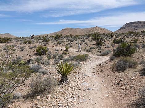
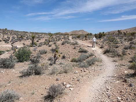
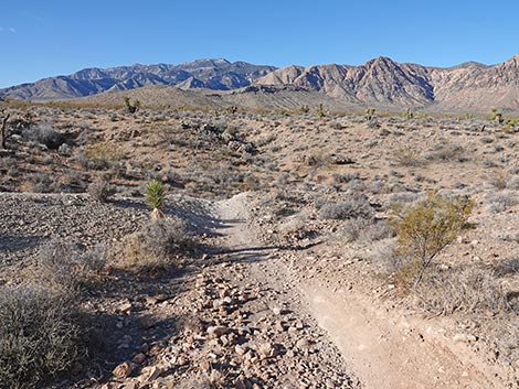
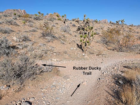
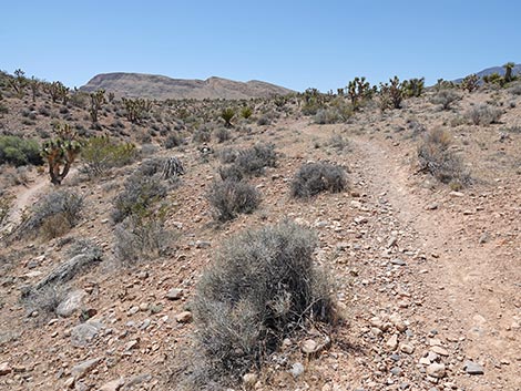
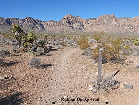
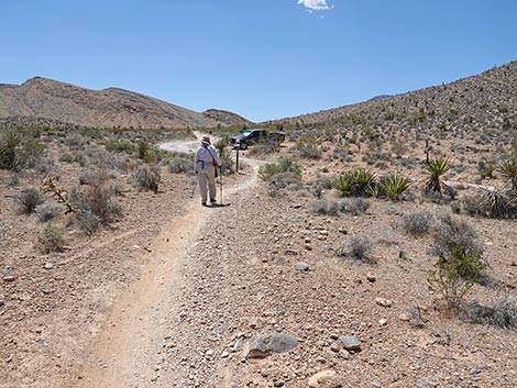
 Start of Rubber Ducky Trail (view NE) |
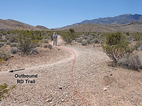
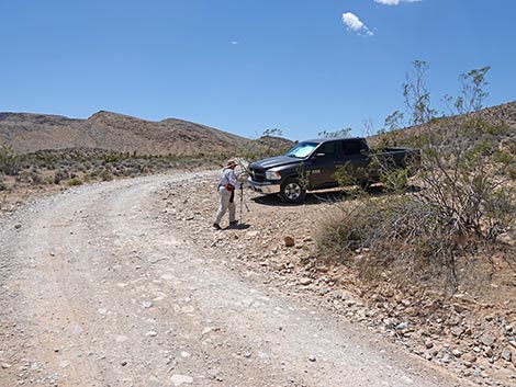
This hike is located in Red Rock Canyon NCA, but not in the Scenic Loop Road fee area. From the Red Rock Visitor Center area, drive west then south on West Charleston Blvd (Hwy 159) past Blue Diamond Town to Highway 160. Turn right onto Highway 160 and drive west for 4.7 miles to the paved Late Night Trailhead on the right. From the northeast end of the paved parking area, follow Black Velvet Road, a rarely graded dirt road, for 0.45 miles to Mustang Loop Trailhead, on the left. Watch for a Mustang Loop sign. Park here; this is the trailhead. Hikers who don't want to drive on Black Velvet Road can stop at Late Night Trailhead and use the Mustang Trail, which parallels Black Velvet Road, for 0.52 miles to the Mustang Trailhead. |
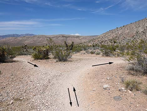
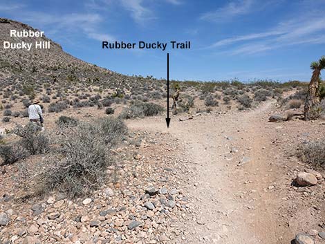
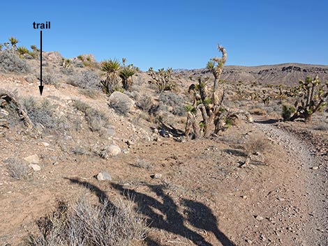
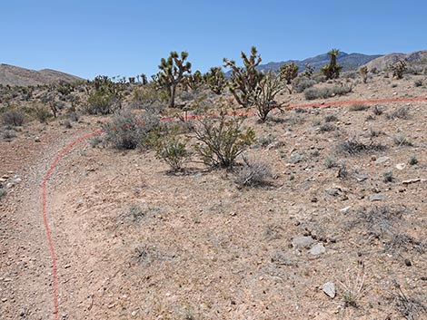
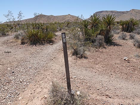
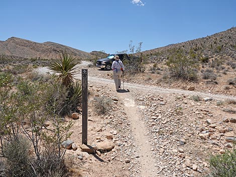
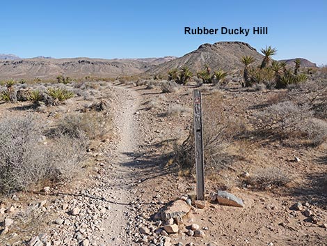 Designated route sign at start of Rubber Ducky Trail (view NE) |
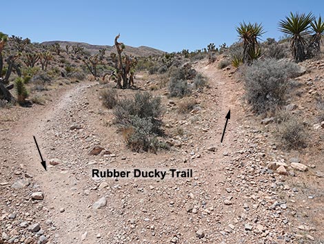
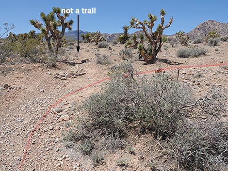
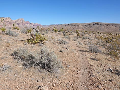
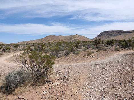
The Hike From the trailhead (Table 1, Waypoint 01), the Rubber Ducky Trail starts a few yards north of the parking area, on the right (east) side of Black Velvet Road. The beginning of the trail is marked only with a carsonite "designated trail" sign. The Rubber Ducky Trail winds its way northeast as it descends the gentle slope through typical mid-elevation Mojave Desert Scrub vegetation with a variety of shrubs, a couple of cactus species, Mojave Yuccas, and Eastern Joshua Trees. In particular, Blackbrush indicates that this is a middle-elevation plant community. At about 0.26 miles out, the Rubber Ducky Trail arrives at a fairly large, triangular intersection (Wpt. 02), but with a couple of large Mojave Yucca plants and a Creosote Bush growing in the middle of the intersection, which makes it hard to recognize the extent of the intersection. |
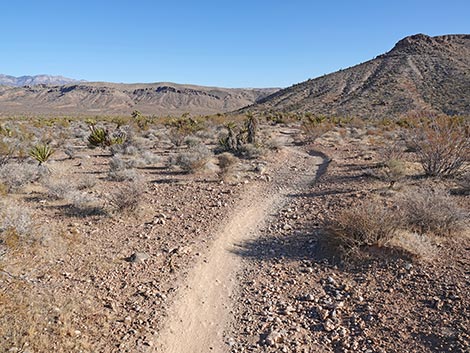
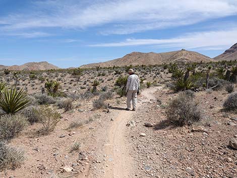
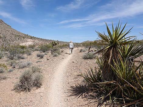
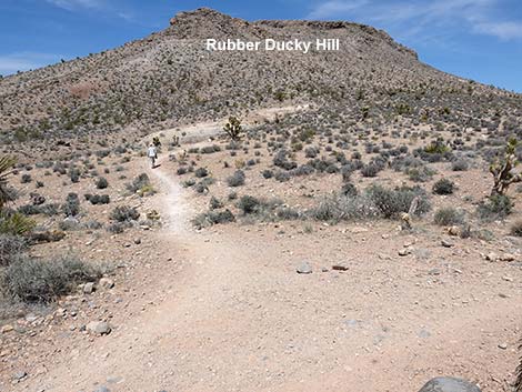
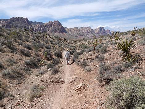
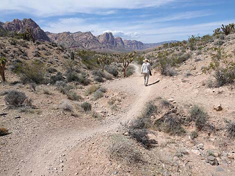
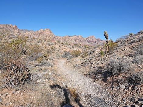
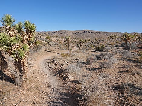
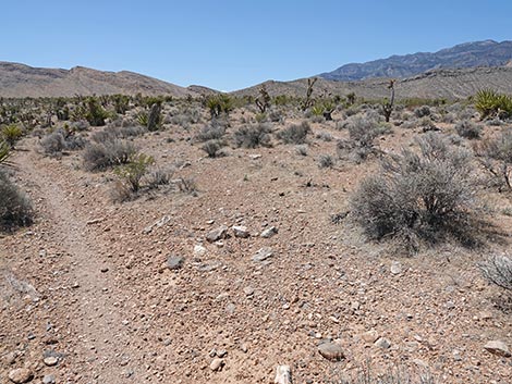
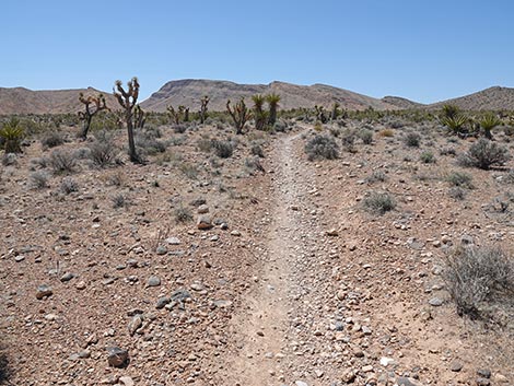
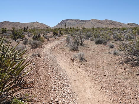
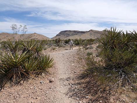
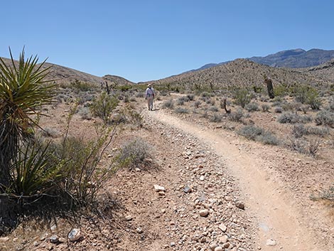
 Rubber Ducky Trail traverses open terrain (view NE) |
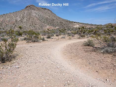
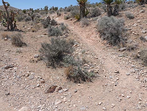
Two trails intersect here to form an awkward X pattern, and this begins the start of the Rubber Ducky loop. Being a loop, hikers can walk in either direction, but as described here, the Rubber Ducky Trail takes a hard right to head southeast. The Rubber Ducky Trail soon contours through a gully and comes out the other side to arrive at a second trail junction (Wpt. 03). Here, the trail forks, and the Rubber Ducky Trail stays left (due east) while the other trail heads more southeast towards Highway 160 and Blue Diamond Town. Staying left at the fork, the Rubber Ducky Trail continues eastward across gentle terrain to soon arrive at a third trail intersection (Wpt. 04), this one at the base of Rubber Ducky Hill. Here, the Rubber Ducky Trail turns left to head north, while the other trail continues eastward towards Highway 160 and Blue Diamond Town. |
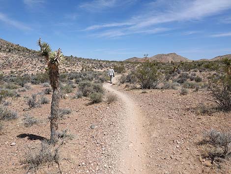
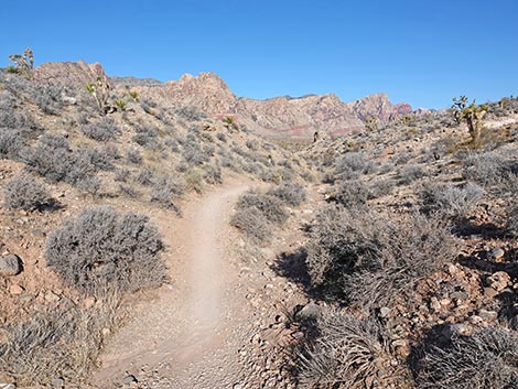
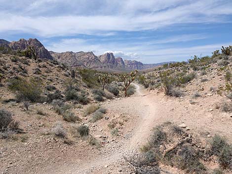
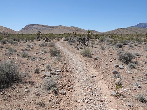
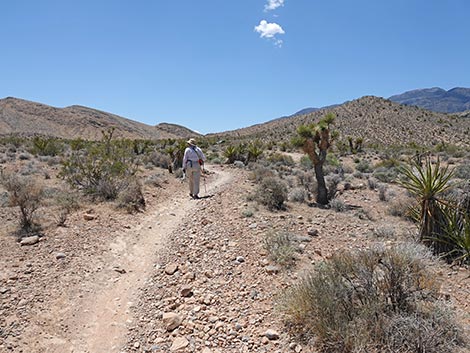
 Rubber Ducky Trail (view NE) |
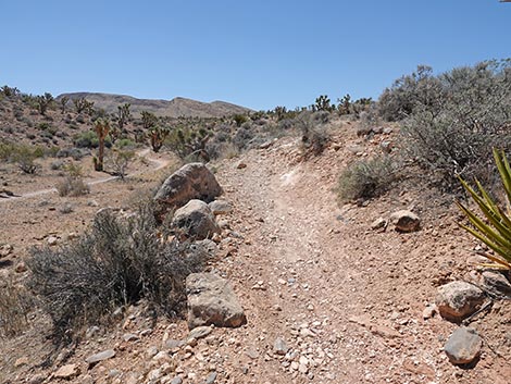
Turning north, the Rubber Ducky Trail runs out about 70 yards contouring across the side of Rubber Ducky Hill, then turns left and begins a fairly steep descent into a narrow canyon that runs all along the base of Rubber Ducky Hill. The Rubber Ducky Trail descends at a moderate grade into the bottom of the canyon and bends more northward on the west side of the wash. The trail wraps around a corner where an odd rock knob stands above the trail on the far side of the wash. The trail crosses the wash to the east side, and then it arrives at Rubber Ducky Tree (Wpt. 05). The Rubber Ducky Tree is an Eastern Joshua Tree of moderate statue standing along the left edge of the trail. Legend has it that someone bonked their head on the tree while riding by. To prevent further bonking events, someone hung a rubber duck from the branch as a warning to other riders. For whatever reason, this spawned an industry of hanging rubber ducks on the tree, much like the tennis shoe trees and underwear trees found elsewhere. |
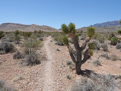
 Rubber Ducky Trail (view N) |
While the idea of a Rubber Ducky Tree sounds fun, too many people leaving Rubber Ducks and other trash have made a mess of the area. The tree is occasionally cleaned up, and future hikers and bikers really ought to stop doing this. It violates the idea of Leave No Trace (a goal that all outdoor users should strive to meet), it is illegal, items left behind become trash, and it makes a mess for someone else to clean up. The last thing our desert needs is more plastic trash and more micro-plastics in the soil. The Rubber Ducky Trail continues north winding down the canyon. Because washes accumulate more water than open slopes, the vegetation in the bottom of the canyon is robust and diverse with several shrub species including Creosote Bush, Utah Mortonia, Desert Almond, and Indigo Bush. There are also a few Eastern Joshua Trees and Buckhorn Cholla. Continuing down the canyon, at about 0.2 miles below Rubber Ducky Tree, hikers might notice a trail angling down the hillside on the left. Soon, this trail drops into the canyon bottom at a three-way intersection (Wpt. 06) with the Rubber Ducky Trail. |
 Rubber Ducky Trail approaching a confusing trail junction (view NE) |
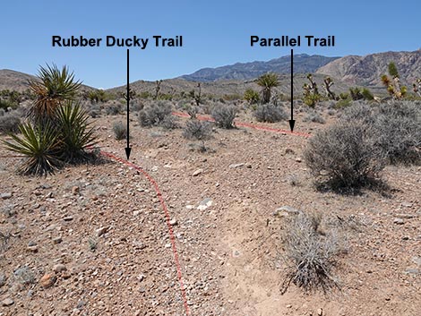
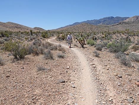
At this trail junction, the Rubber Ducky Trail bends hard to the left (south) to begin climbing up the side of the canyon. The other trail continues north in the canyon bottom and can also be used to get to Highway 160 and Blue Diamond Town. Now heading south, the Rubber Ducky Trail climbs at a gentle grade and passes through two, long sweeping switchbacks. The second switchback ends with hikers heading south again, and soon hikers might notice a parallel trail on the right. The two trails run parallel for about 80 yards, then merge at a trail junction (Wpt. 07). Continuing south on a gentle incline, the Rubber Ducky Trail runs fairly straight as it winds between Eastern Joshua Trees, Creosote Bushes, and other shrub species. |
 Hiker staying right at a confusing trail junction (view NE) |
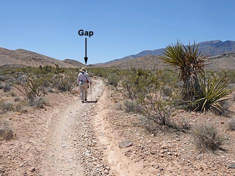
At about 1.0 miles out, the Rubber Ducky Trail returns to the awkward X-shaped triangular intersection (Wpt. 02) with the shrubs growing in the middle of the triangle. Arriving at the intersection in this direction, hikers will notice another carsonite "designated trail" sign. At this point, however, it is not entirely clear where the Rubber Ducky Trail goes. Hikers should to continue south a few more yards to get past the Mojave Yuccas, and then hikers will recognize this site as the end of the Rubber Ducky loop. Hikers see their outbound trail sweeping off to the left, and the return trail, to the right, can be seen running southwest towards a gap in the distant mountains. Now heading southwest, the Rubber Ducky Trail climbs the gentle slope back through the Eastern Joshua Trees and shrubs towards the trailhead (Wpt. 01) on the other side of Black Velvet Road. |
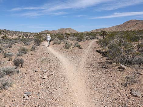
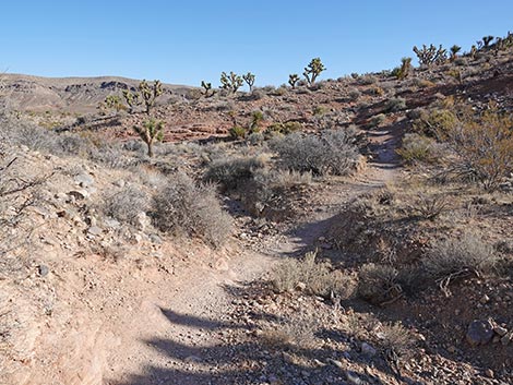
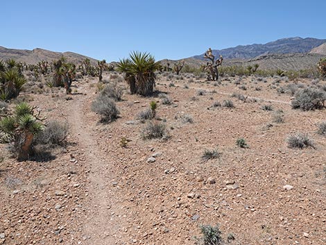
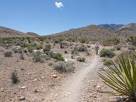
 Start of the Rubber Ducky Loop (view NE) |
 Rubber Ducky Loop Trail stays right (view E) |
 Always keep an eye and ear out for bike riders (view SE) |
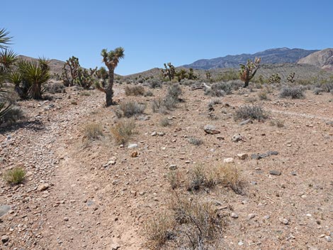
 Hiker continuing past the trail junction (view SE) |
 Rubber Ducky Loop Trail winds through a gully (view SE) |
 Rubber Ducky Loop Trail continues past a Mojave Yucca (view SE) |
 Rubber Ducky Loop Trail stays left at a trail junction (view SE) |
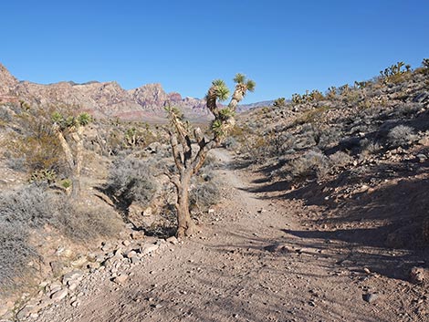
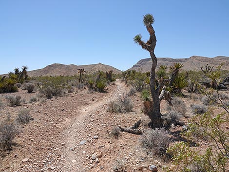
 Rubber Ducky Trail passes a young Eastern Joshua Tree (view SE) |
 Rubber Ducky Loop Trail stays left at a trail junction (view SE) |
 Rubber Ducky Loop Trail continues across the desert (view SE) |
 Rubber Ducky Trail stays left at another trail junction (view SE) |
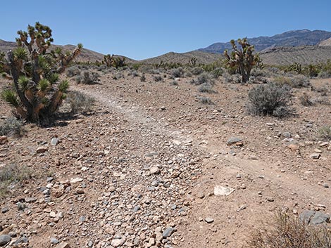
 Rubber Ducky Trail departing the trail junction (view N) |
 Rubber Ducky Trail winds down into a canyon (view N) |
 Rubber Ducky Trail winding down into a canyon (view W) |
 Rubber Ducky Trail runs down into a shallow canyon (view SE) |
 Rubber Ducky Trail runs down bottom of canyon (view NW) |
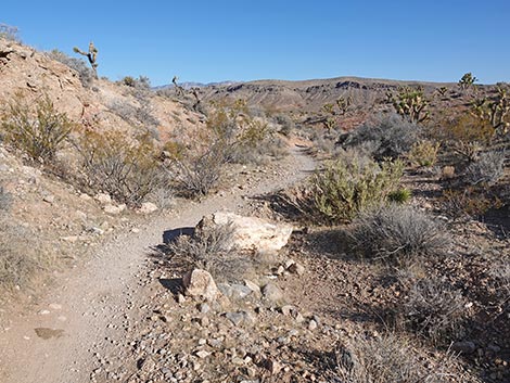
 Rubber Ducky Trail runs below rocky knob (view NW) |
 Hiker approaching the Rubber Ducky Tree (view N) |
 Rubber Ducky Trail approaching Rubber Ducky Tree (view N) |
 Rubber Ducky Trail at Rubber Ducky Tree (view N) |
 Rubber Ducky Trail continues down canyon past Rubber Ducky Tree |
 Rubber Ducky Trail runs down bottom of canyon (view NW) |
 Rubber Ducky Trail runs down bottom of canyon (view N) |
 Rubber Ducky Trail winds down bottom of canyon (view NE) |
 Always watch for bikers careening along the trail (view N) |
 Rubber Ducky Trail winds down bottom of canyon (view N) |
 Approaching trail junction; Rubber Ducky Trail with switchback |
 Rubber Ducky Trail at trail junction (view N) |
 Rubber Ducky Trail turns hard-left at trail junction (view N) |
 Rubber Ducky Trail at trail junction (view S) |
 Rubber Ducky Trail turns out of the canyon bottom (view S) |
 Rubber Ducky Trail starts up out of the canyon bottom (view S) |
 Rubber Ducky Trail climbs out of the canyon (view S) |
 Rubber Ducky Trail climbs out of the canyon (view S) |
 Rubber Ducky Trail approaching a switchback (view S) |
 Rubber Ducky Trail at a switchback; note closed trail (view S) |
 Rubber Ducky Trail makes a big, sweeping switchback (view N) |
 Rubber Ducky Trail continues to climb the hillside (view N) |
 Rubber Ducky Trail switchbacks back to the left (view NW) |
 Rubber Ducky Trail parallels another trail (view S) |
 Rubber Ducky Trail parallels another trail (view S) |
 Rubber Ducky Trail parallels another trail (view S) |
 Rubber Ducky Trail approaching a trail junction (view S) |
 Rubber Ducky Trail merges into the parallel trail (view S) |
 Together, the two trail continue (view S) |
 Rubber Ducky Trail continues across the landscape (view S) |
 Rubber Ducky Trail continues across the landscape (view S) |
 Rubber Ducky Trail passing an Eastern Joshua Tree (view S) |
 Rubber Ducky Trail passing a Creosote Bush (view S) |
 Rubber Ducky Trail passing a Buckhorn Cholla (view S) |
 Rubber Ducky Trail passing a sad Eastern Joshua Tree (view SW) |
 Rubber Ducky Trail approaching the confusing trail junction (view SW) |
 Rubber Ducky Trail returns to the start of the loop (view SW) |
 Carsonite trail marker (view SW) |
 The other trail forks right to run towards the cliffs (view NW) |
 Rubber Ducky Trail continues south between Creosote Bushes (view S) |
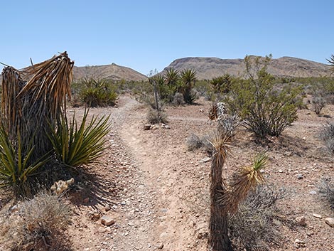
 Past Yuccas, Rubber Ducky Trail becomes more apparent (view SE) |
 Passing between Creosote Bushes, RD Trail closes the loop (view SW) |
 RD Trail returns towards gap in the mountains (view SW) |
 Rubber Ducky Trail climbs gently across open landscape (view SW) |
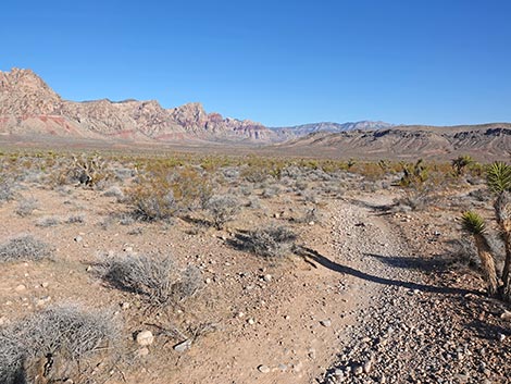
 Rubber Ducky Trail (view SW) |
 Rubber Ducky Trail (view SW) |
 Rubber Ducky Trail (view SW) |
 Rubber Ducky Trail (view SW) |
 Rubber Ducky Trail approaching the trailhead (view SW) |
 Rubber Ducky Trail approaching the trailhead (view SW) |
 Rubber Ducky Trail arriving back at Black Velvet Road (view SW) |
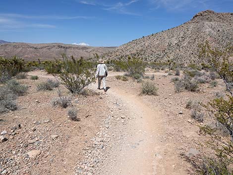
 Hiker returning to the trailhead (view SW) |
Table 1. Hiking Coordinates and Distances based on GPS Data (NAD27; UTM Zone 11S). Download Hiking GPS Waypoints (*.gpx) file.
| Wpt. | Location | UTM Easting | UTM Northing | Elevation (ft) | Point-to-Point Distance (mi) | Cumulative Distance (mi) |
|---|---|---|---|---|---|---|
| 01 | Mustang Loop Trailhead | 641752 | 3986882 | 3,843 | 0.00 | 0.00 |
| 02 | Trail Junction | 641892 | 3987273 | 3,791 | 0.26 | 0.26 |
| 03 | Trail Junction | 641990 | 3987244 | 3,804 | 0.08 | 0.34 |
| 04 | Trail Junction | 642073 | 3987239 | 3,801 | 0.05 | 0.39 |
| 05 | Rubber Ducky Tree | 641978 | 3987368 | 3,765 | 0.13 | 0.52 |
| 06 | Trail Junction | 641900 | 3987618 | 3,725 | 0.19 | 0.71 |
| 07 | Trail Junction | 641858 | 3987515 | 3,759 | 0.13 | 0.84 |
| 02 | Trail Junction | 641892 | 3987273 | 3,791 | 0.15 | 0.99 |
| 01 | Mustang Loop Trailhead | 641752 | 3986882 | 3,843 | 0.26 | 1.25 |
Happy Hiking! All distances, elevations, and other facts are approximate.
![]() ; Last updated 250604
; Last updated 250604
| Hiking Around Red Rocks | Hiking Around Las Vegas | Glossary | Copyright, Conditions, Disclaimer | Home |