Hiking Around Las Vegas, Red Rock Canyon National Conservation Area
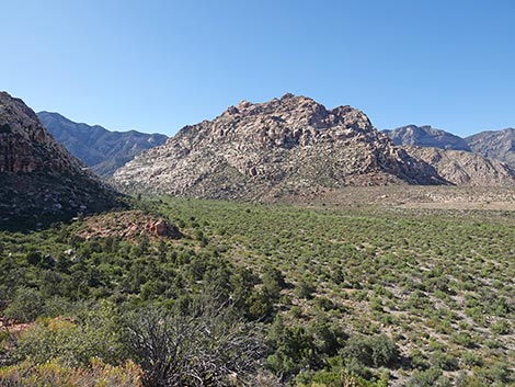
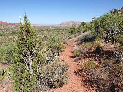
 Lost Creek Trail (view W from trailhead) |
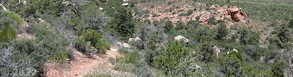
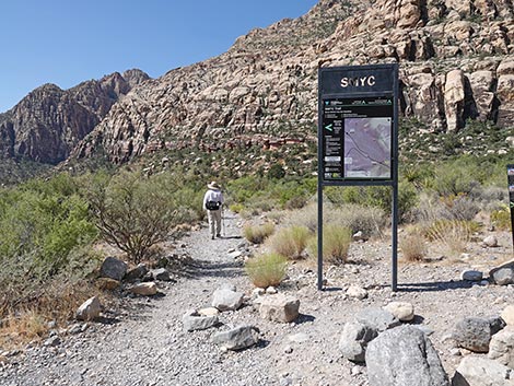
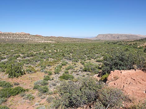
Overview The SMYC Trail is a 1.3-mile segment of the Escarpment Route that runs through spectacular open desert along the base of the Wilson Cliffs. The SMYC Trail runs between Lost Creek Canyon and Ice Box Canyon. This is a pleasant trail with relatively little elevation change that generally runs at gentle grades. There are two short, steep sections, but both are associated with nice viewpoints. The SMYC Trail connects two trails, so it can be walked in either direction. Here, it is described as running south from the Lost Creek Canyon Trail to the Ice Box Canyon Trail, which is the downhill direction. For hikers going the other direction, see SMYC Trail - Northbound. SMYC stands for "Spring Mountains Youth Camp," which is a long-term correctional facility for young men convicted of felonies. In partnership with the U.S. Forest Service, these guys have been doing nice trail work for more than 30 years. Link to map. Link to BLM Georeference PDF map file. |
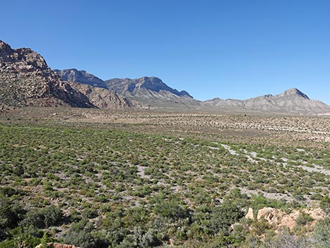
 Fork in the trail (view W) |
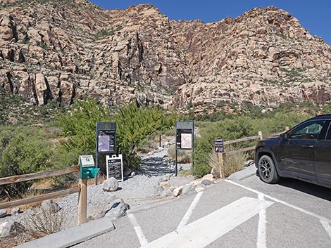
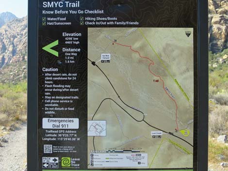
Watch Out Other than the standard warnings about hiking in the desert, ...this is a safe hike, although parts of the trail are rocky and might be difficult for people with walking difficulties. Water sometimes runs in Red Rock Wash, and care should be taken on wet or icy rocks. While hiking, please respect the land and the other people out there, and try to Leave No Trace of your passage. Also, even though this is a short hike, be sure to bring what you need of the 10 Essentials. Getting to the Trailhead This hike is located along the Scenic Loop Road in Red Rock Canyon National Conservation Area, about 45 minutes west of Las Vegas. Drive out to Red Rocks, pay the fee, and then drive about half-way around the Scenic Loop Road to Willow Spring Road. Turn right and drive north 0.2 miles to the Lost Creek Trailhead. Park here; this is the trailhead. |
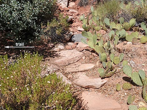
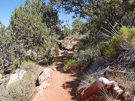
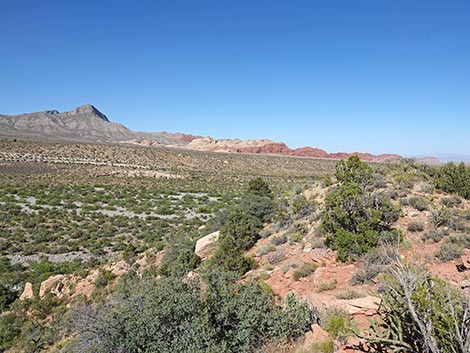
 SMYC Trail stays left (view SW) |
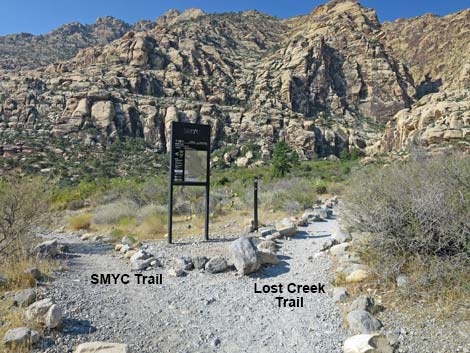
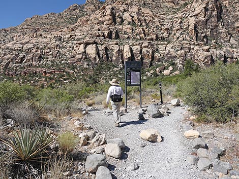
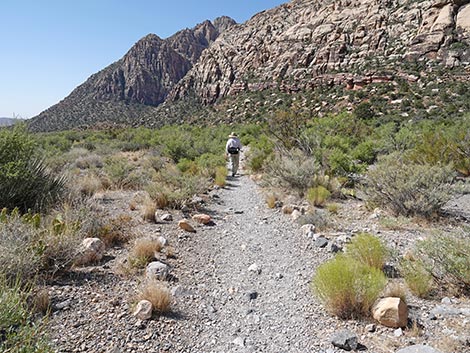
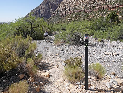
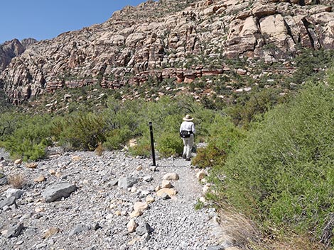
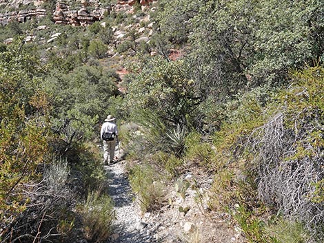
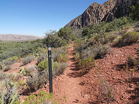
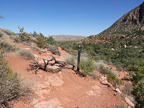
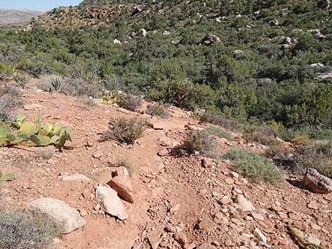
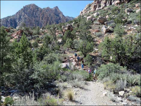
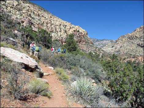
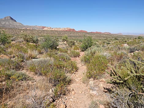
The Hike Two trails run west from the parking lot. The Lost Creek Trail starts near the middle of the parking lot and runs straight (west) across Red Rock Wash towards a big willow thicket, a pine tree, and the mouth of a little side-canyon. The Children's Discovery Trail starts at the northwest corner of the parking lot (by the big sign) and angles upstream and angles across the wash (northwest). From the Lost Creek Trailhead (Table 1, Waypoint 01), this trail runs west on the Lost Creek Trail. About 80 yards out (1 minute), the trail forks, and the SMYC trail (Wpt. 02) goes left. A sign at the junction states that it is 1.0 miles to the Ice Box Canyon Trail; it's actually about 1.1 miles. Heading downstream, the SMYC Trail runs out into the gravel wash with several trail markers and rock alignments along the edge of the trail to help hikers find their way. |
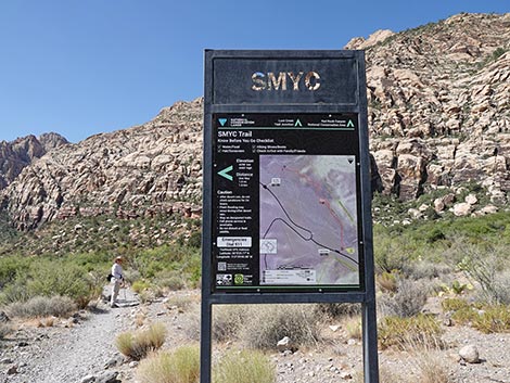 SMYC Trail sign (view S) |
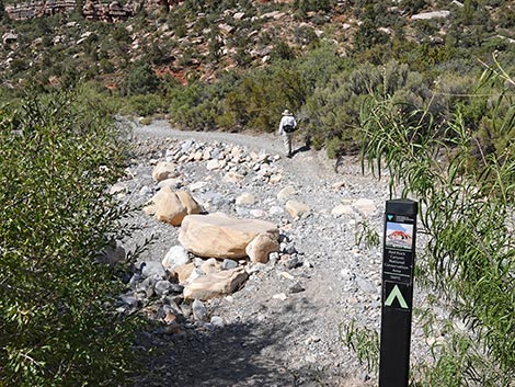
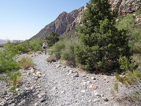
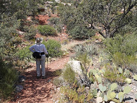
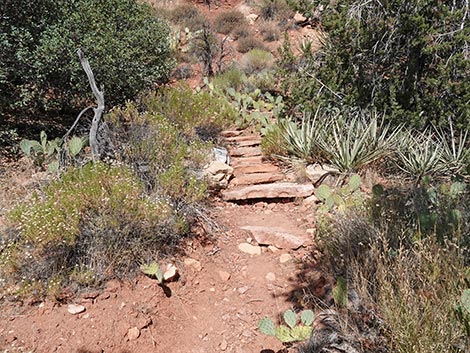
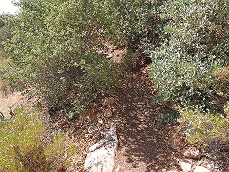
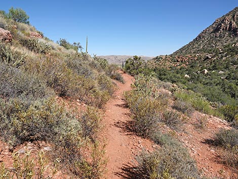
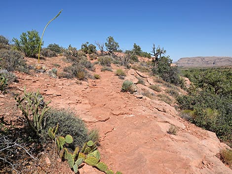
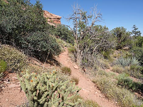
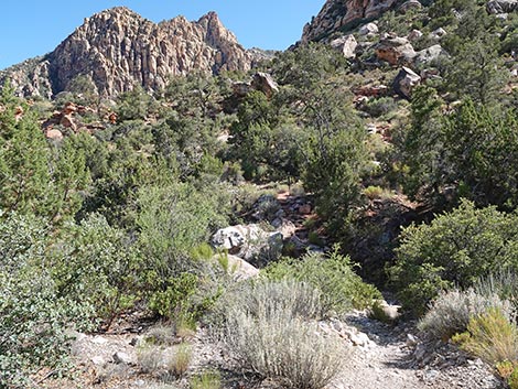
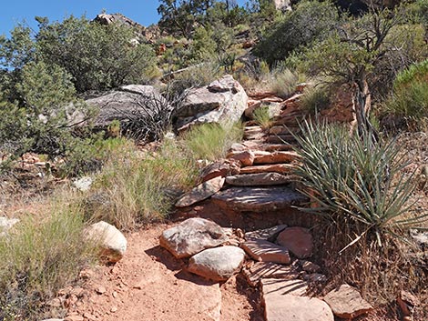
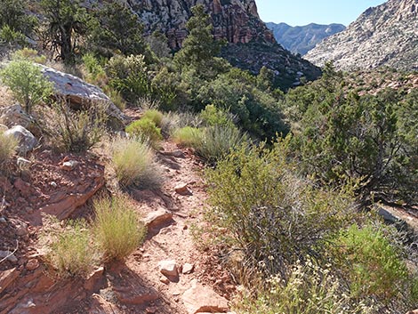
In the wash, the vegetation consists largely of desert willow and other tall shrubs. This contrasts greatly with the hillside beyond the wash where the vegetation is dominated by singleleaf pinyon pine, Utah juniper, and blackbrush. The differences in vegetation largely are due to differences in soil moisture and flooding tolerance. At about 200 yards out, the trail drops to cross the main wash and continues downhill on the west side of the wash for another 30 yards. The trail then bends right towards the hillside (Wpt. 03) where it climbs somewhat steeply up the red-dirt hillside on stone stairs. Right at the top of the stairs, the trail bends hard left into a tunnel of shrubs that sometimes need a little trimming. At the top of the stairs, footprints continue straight up the hillside, but they are not following the SMYC Trail. After the stone stairs and tunnel of shrubs, the SMYC Trail runs south at a slight downgrade running parallel to, but high above the wash. After about 0.25 miles, the trail runs over the crest of a low ridge and starts to drop off west side (away from the main wash). |
 Sign (note: the map is upside down with north at the bottom) |
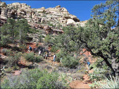
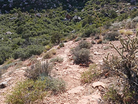
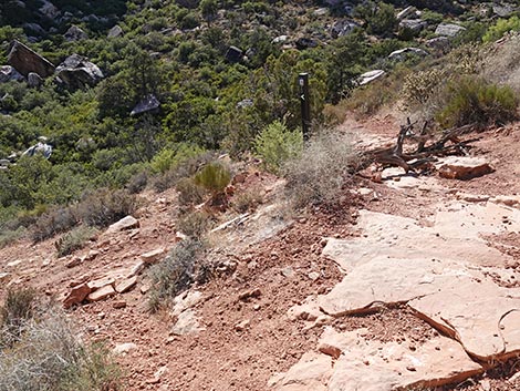
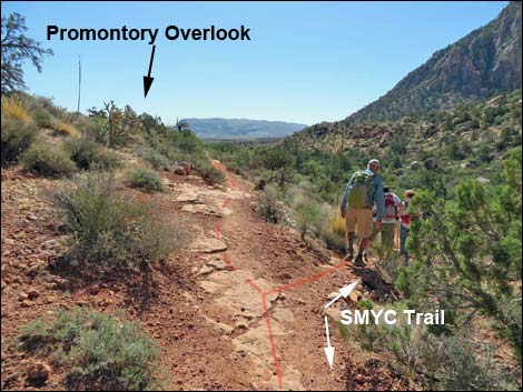
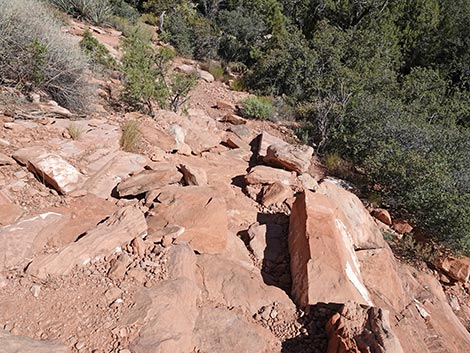
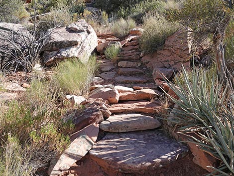
As the SMYC Trail drifts onto the west side of the little ridge, it runs slightly downhill to a trail junction (Wpt. 04) marked with a regular trail marker. At the junction, the left fork is a short spur-trail that climbs gently towards the Northern Promontory (Wpt. 05) at the end of the ridge. Views from the promontory are grand. From the trail junction (Wpt. 04), the SMYC Trail drops steeply off the side of the ridge into a ravine (notice the aging rock work), then turns downhill and runs southeast under the promontory. The trail runs south across flats with Singleleaf Pinyon Pine trees to a little wash coming down from the cliffs. The SMYC Trail crosses wash, bends right, and begins to climb a steep set of stone stairs. Right a the top of the stone stairs, the trail seems to fork, but actually it switchbacks to the right. The left fork gets lost in the bushes. Staying right, the trail traverses the hillside climbing gently. There is some multiple trailing here, but the built trail stays right (lowest trail) until switchbacking back to the left. Now heading southeast again, hikers might notice the other trails fighting up through the bushes. |
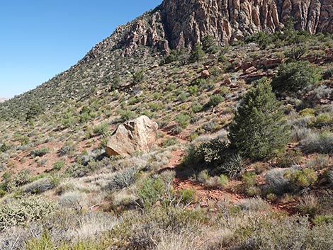
 Hiker starting down the SMYC trail (view S) |
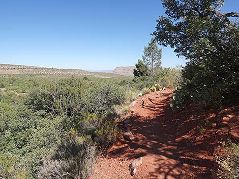
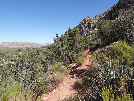
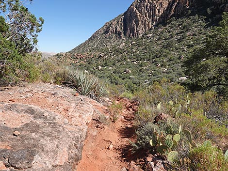
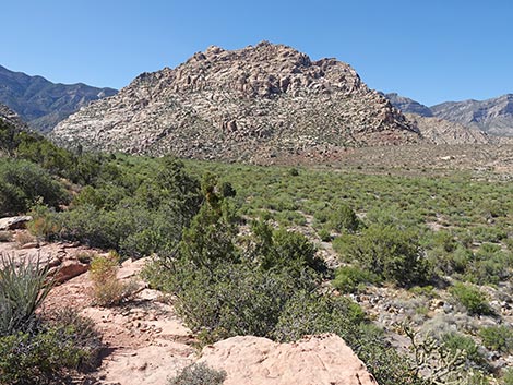
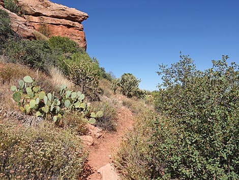
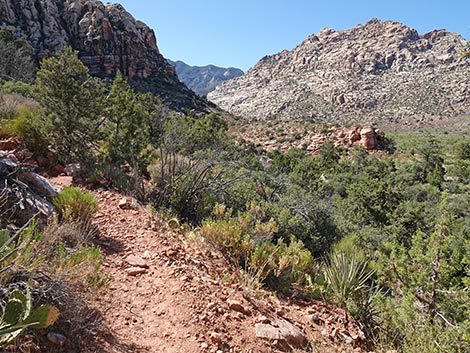
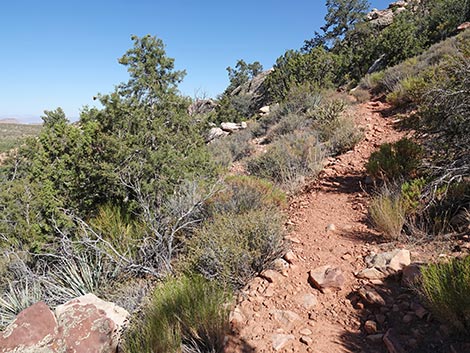
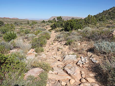
Back on gentle terrain, the trail runs across the hillside climbing gently until reaching a highpoint at the Southern Promontory (Wpt. 06), which is only a few steps left of the trail. As with the previous promontory, the views are grand, and this make for another nice lunch spot. From the Southern Promontory (Wpt. 06), the trail winds down the south side of the ridge. In the rocks, watch carefully for twists and turns in the trail. The trail continues down across the hillside and wraps around the toe of a little ridge passing lots of big boulders that came rolling down the hillside (but hopefully not today). Wrapping around the toe of the ridge (Wpt. 07), the SMYC Trail bends left and starts out across desert flats entering the Ice Box Canyon drainage system (almost directly opposite Ice Box parking area). Here, the trail really starts to angle away from the high cliffs above. Up until about this point, the trail has fairly clean and nice to walk on, but as the trail crosses ancient alluvial flows from Ice Box Canyon, it gets quite rocky (much like the Escarpment Route south of here). |
 |
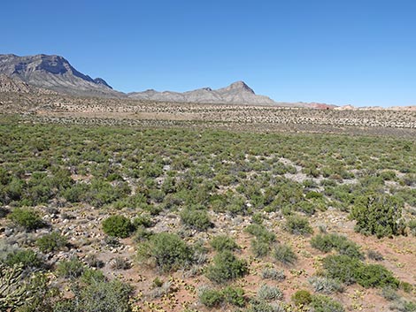
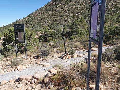
In this area, it is interesting to notice that a fire burned through here long ago. The shrubs have since recovered, but there are almost no living Utah juniper trees here, even remaining old juniper skeletons have fallen over in the last 20 years. After a few minutes of walking on stones, the SMYC Trail reaches a trail junction with the Ice Box Canyon Trail (Wpt. 08). The SMYC Trail ends here. From this point, hikers can continue south on Dales Trail, turn right and hike west and up the Ice Box Canyon Trail, turn left and hike east out to the Ice Box Canyon Trailhead (Wpt. 09), or retrace your footprints back to the Lost Creek Trailhead (Wpt. 01). |
 There are several trail signs in the wash (view S) |
 There are several rock alignments in the wash (view S) |
 SMYC Trail crosses the main wash (view SW) |
 SMYC Trail passes a pinyon pine on the edge of the wash (view S) |
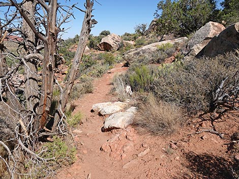
 SMYC Trail bends right away from the wash (view W) |
 SMYC Trail turns towards the hillside (view W) |
 Hikers climbing hillside (view W) |
 Stone stairs lead up the steep hillside (view W) |
 At top of stone stairs, trail turns hard left (view W) |
 Trail turns into tunnel of shrubs (view S) |
 The trail gets up on the hillside (view SE) |
 SMYC Trail traverses the hillside (view SE) |
 SMYC Trail traverses the hillside (view SE) |
 Trail marker (view SE) |
 SMYC Trail traverses the hillside (view SE) |
 Parts of the trail on the hillside are getting overgrown (view SE) |
 SMYC Trail traverses the hillside (view SE) |
 Trail marker (view SE) |
 SMYC Trail traverses the hillside (view S) |
 Trail marker (view SE) |
 SMYC Trail traverses the hillside (view SE) |
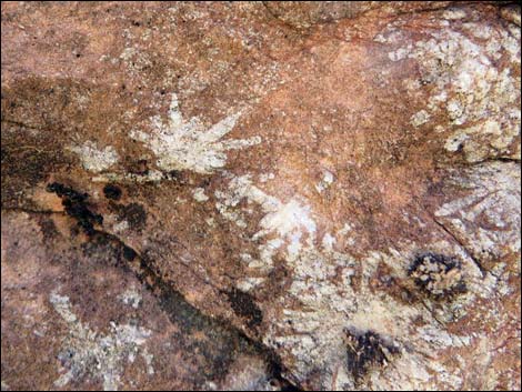 Curious crystalline patterns in the rock (view E) |
 SMYC Trail traverses the hillside (view SE) |
 SMYC Trail at a trail junction (view SE) |
Detour to First (Northern) Promontory
 Detour trail to First Promontory (view E) |
 Arriving atop First Promontory (view E) |
 Grand view from First Promontory (view N) |
 Grand view from First Promontory (view NE) |
 Grand view from First Promontory (view SE) |
 Grand view from First Promontory (view S) |
 Departing from First Promontory (view W) |
 Returning to trail junction from First Promontory (view W) |
Continuing on the SMYC Trail
 Continuing on SMYC to pass the trail junction (view SE) |
 Hikers continuing from trail junction to First Promontory (view SE) |
 Trail drops very steeply from First Promontory (view S) |
 Watch for trail marker (view S) |
 Last bit of steep trail (view SE) |
 Back on easy trail (view E) |
 Trail passes below First Promontory (view E) |
 Trail marker (view SE) |
 SMYC Trail continues towards a wash (view SE) |
 Hikers crossing the wash in an open canyon (view SW) |
 Trail climbs stone stairs [in the shadows] (view SW) |
 Trail marker indicated a bend to the right (view S) |
 SMYC Trail approaching the next set of stone stairs (view SW) |
 Stone stairs (view SW) |
 At top of stairs, trail seems to fork, but it turns right (view SW) |
 Atop stairs, SMYC Trail switchbacks to the right (view NW) |
 Hikers switchbacking up the hillside (view NW) |
 SMYC Trail makes a long traverse northward (view NW) |
 SMYC Trail switchbacks back to the south (view SE) |
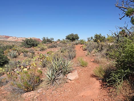
 SMYC Trail continues across the hillside (view SE) |
 SMYC Trail passes a tight spot (view SE) |
 SMYC Trail approaching Second Promontory (view SE) |
 SMYC Trail arriving atop Second Promontory (view SE) |
 More to come ... |
Detour to Second (Southern) Promontory
 Second Promontory (view NE from across the trail) |
 Grand view from Second Promontory (view N) |
 Grand view from Second Promontory (view NE) |
 Grand view from Second Promontory (view E) |
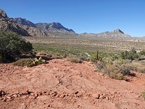
 Grand view from Second Promontory (view SE) |
 Grand view from Second Promontory (view S into Icebox Canyon) |
Continuing on the SMYC Trail
 SMYC Trail continues past Second Promontory (view SE) |
 SMYC Trail begins to descend across the hillside (view S) |
 SMYC Trail begins to descend across the hillside (view S) |
 SMYC Trail descending towards desert flats (view S) |
 Trail marker (view SE) |
 SMYC Trail back on desert flats (view E) |
 Parts of trail are hard to follow because shrubs are growing in |
 Faint trail - watch for trail marker (view E) |
 Parts of this trail are quiet rocky, but easy to follow (view SE) |
 Trailhead sign comes into view (view SE) |
 Junction of SMYC, Ice Box Canyon, and Dales trails (view SE) |
 Trail junction (view S towards Icebox Trail uphill) |
 Trail junction (view SE towards Dales trail southbound) |
 Trail junction (view E towards Icebox Trailhead) |
Table 1. Hiking Coordinates Based on GPS Data (NAD27; UTM Zone 11S). Download Hiking GPS Waypoints (*.gpx) file.
| Wpt. | Location | UTM Easting | UTM Northing | Elevation (ft) | Point-to-Point Distance (mi) | Cumulative Distance (mi) | Verified |
|---|---|---|---|---|---|---|---|
| 01 | Lost Creek Trailhead | 635573 | 4002262 | 4,476 | . | . | GPS |
| 02 | SYMC Trail Jct | 635497 | 4002238 | 4,474 | 0.00 | 0.00 | GPS |
| 03 | Red Rock Wash | 635504 | 4001973 | 4,442 | 0.19 | 0.19 | GPS |
| 04 | Trail Junction | 635725 | 4001637 | 4,398 | 0.39 | 0.58 | GPS |
| 05 | Northern Promontory | 635765 | 4001630 | 4,416 | 0.03 | 0.61 | GPS |
| 04 | Trail Junction | 635725 | 4001637 | 4,398 | 0.04 | 0.65 | GPS |
| 06 | Southern Promontory | 635899 | 4001402 | 4,382 | 0.36 | 1.01 | GPS |
| 07 | Trail Jct | 636035 | 4001277 | 4,348 | 0.15 | 1.16 | GPS |
| 08 | Ice Box Canyon Trail Jct | 636237 | 4001221 | 4,307 | 0.14 | 1.30 | GPS |
| 09 | Ice Box Canyon Trailhead | 636455 | 4001453 | 4,280 | . | . | GPS |
Happy Hiking! All distances, elevations, and other facts are approximate.
![]() ; Last updated 250627
; Last updated 250627
| Hiking Around Red Rocks | Hiking Around Las Vegas | Glossary | Copyright, Conditions, Disclaimer | Home |