
Backroads Around Las Vegas

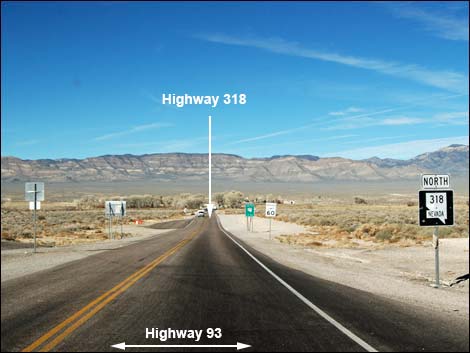 Start of Highway 318 (view NW) |
Overview Nevada Highway 375 isn't a "backroad," but it provides access to many of the places and backroads we love. Running almost 100 miles over mountains and through long valleys, Highway 375 passes through beautiful middle-Nevada Great Basin country, including broad open valleys and high mountain ranges. Also named the Extraterrestrial Highway, this road runs near Area 51 and traverses big open country with strange aircraft in the day and odd lights at night. Highway 375 connects U.S. Highway 93 to the south with Highway 6 to the north. Highway 375 generally is straight with a speed limit of 70 mph. Gas, food, and lodging (but no supplies) are available only at Rachel, but Alamo (south of Hwy 375) and Tonopah (northwest of Hwy 375) are full-service towns. Highway 375 provides access to Mt. Irish, Basin and Range National Monument, OHV trails and backroad adventures. Drivers should always keep an eye out for cattle and Pronghorn; it is unlikely that Pronghorn will be on the road, but it is always fun to see them galloping across sagebrush flats. |
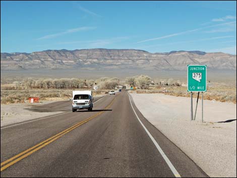 Highway 318 approaching Highway 375 (view NW) |
Link to Road Map. Watch Out Other than the standard warnings about being in the desert, ...this road is pretty safe, but be sure that your vehicle is in good working condition, carry plenty of water, and pack a few snacks. Always drive carefully; even though the road is maintained, there are occasional hazards such as free-range cattle on the roadway. There are no electric vehicle charging stations along Highway 375. While out, please respect the land and the other people out there, and try to Leave No Trace of your passage. This road goes into remote areas, so be sure to bring what you need of the 10 Essentials. Cell phones work near Rachel, but not in most areas. |
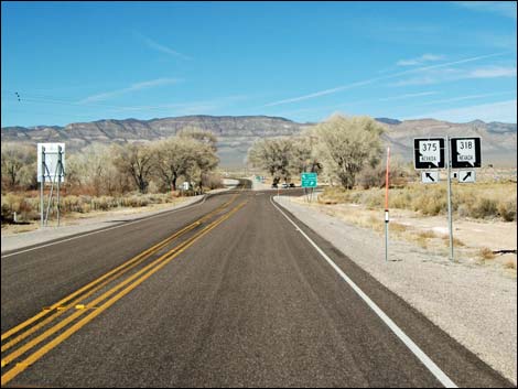 Highway 318 approaching Highway 375 (view NW) |
Getting to the Road Highway 375 begins at Crystal Springs just west of where Highway 318 separates from Highway 93, and just north of the towns of Ash Spring and Alamo. From Las Vegas, drive north on Interstate-15 for 21 miles to Exit 64. Watch for signs to Pioche, Ely, Alamo, Caliente, and Great Basin National Park. Exit right, then bend left onto Highway 93. Drive north 85 miles, passing Alamo (last full-service town) and Ash Springs (last gas and hot food) to Highway 318 on the left. Consider picking up some Alien Jerky at the intersection for snacks during the drive north. Drive west on Highway 318 for about 0.7-miles to the start of Highway 375. |
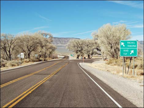 Approaching intersection of Hwy 375 (left; and Hwy 318 (right) |
The Road Beginning high on the east side of Pahranagat Valley, Highway 318 departs Highway 93 (Table 1, Site 0677) to run northwest and downhill towards the White River, which for the most part stopped flowing above ground at the end of the last ice age. It pops out, however, in several places, including to the right where it fills Frenchy Lake (part of Key-Pittman Wildlife Management Area) and ahead in the cottonwood trees on the left where it pops out as Crystal Spring and flows for a short distance downstream. Crystal Springs produces thousands of gallons of water per day and supports a small riparian area and stream. The site has warm springs, clear water, trees, shrubs, grasses, and aquatic vegetation, all of which is surrounded by the vast Mojave Desert. These are the last natural deciduous trees visitors will see while driving up Highway 375. |
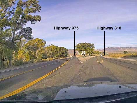 Highway 318 at Highway 375 (view NW) |
At about 0.7 miles out from Highway 93, under towering cottonwood trees, the highway forks (Site 0676). Highway 375 forks left to head straight while Highway 318 bends to the right. There are no stop signs at this intersection. This intersection is also an informal roadside rest area with picnic tables under the cottonwood trees, but no toilets. Before passing the intersection, drivers might want to stop and pose for a photo at the Extraterrestrial (ET) Highway sign -- as thousands of people do every year. Highway managers keep trying to raise the sign higher and higher to prevent people from putting their favorite stickers on the sign, but so far they have been unsuccessful. Also, birder watchers might want to stop and see who's flitting around the trees and water. |
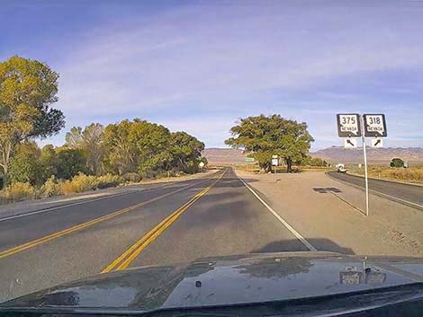 Starting on Highway 375 (view NW) |
Continuing on Highway 375, the pavement bends left, passes ranch houses and agricultural fields and passes a sign announcing that the next gas is 40 miles ahead (in Rachel). It is best however, to leave this area with enough gas to get to Tonopah (about 150 miles) because I've been in Rachel and found the gas pumps unavailable. Continuing on Highway 375, the road shortly arrives at the Alien Research Center, on the right. For people interested in the full Extraterrestrial Highway experience, this is a good next stop. Now heading southwest, Highway 375 passes a cattle guard, enters into a free-range cattle area, and the speed limit increases to 70 mph. The highway climbs towards a low point in the mountains (Hancock Summit) ahead in the distance. To the left, Badger Mountain stands tall (7,976 ft elevation) with craggy limestone cliffs, and to the left, Mount Irish with a band of white across the mountain, stands even taller at 8,743 ft elevation. The white band is an ancient coral reef that once existed in shallow ocean waters. |
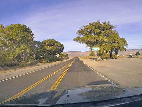 Highway 375 approaching Extraterrestrial Highway sign (view NW) |
At about 5.8 miles out, Highway 375 passes a dirt road to the right (Reed Spring Road; Site 1572). This road provides drivers with high-clearance vehicles access to the Mount Irish Wilderness Area, which includes the mountainous lands between Highway 375 and highest parts of Mt. Irish, proper. Climbing towards Hancock Summit, the road passes through open desert at the far north edge of the Mojave Desert. Here, low scattered shrubs, species typical of deserts south of here, are intermixed with a few short Joshua Trees. As the highway continues climbing towards Hancock Summit, increasing elevation eventually allows short Utah Juniper trees, and eventually Singleleaf Pinyon Pines to survive because it is cooler and wetter up here. At first, the junipers look more like dark-green shrubs, but eventually they grow taller like real, but short trees. |
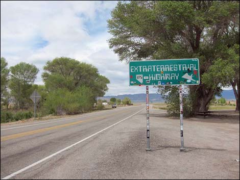 Highway 375 at Extraterrestrial Highway sign (view NW) |
As the highway winds into the mountains, at about 10.9 miles out, drivers pass an unmarked dirt road on the right. This road provides access to an old, dilapidated campground. Little infrastructure remains, but it is a free place for self-sufficient campers to get off the highway. Soon, Highway 375 reaches Hancock Summit at the crest of the mountains (5,592 ft elevation; 11.4 miles out). There is nowhere to safely stop before the summit to enjoy the views, but as the highway passes beyond a roadcut, there is a pullout on the right. These views aren't the best, but soon big views open to the west. |
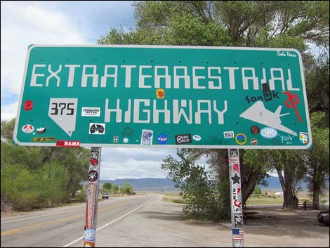 Highway 375: Extraterrestrial Highway (view NW) |
The steep road quickly drops out the Pinyon-Juniper Woodland Zone and returns to the Mojave Desert Scrub Zone with lots of Eastern Joshua Trees growing on the rocky, limestone hillsides. Continuing down the canyon, views west reveal a wide dirt road stretching towards the western horizon. This is Groom Lake Road, which provides authorized personnel access to Area 51, the secret military base where believers say that the US government hides alien aircraft and alien bodies. Highway 375 will eventually pass Groom Lake Road, but first it passes a short dirt road left into a gravel pit, which can be seen from the highway. Just past a guardrail on the left, at about 13.6 miles out (Site 1996), this gravel pit provides access to an outcrop of Alamo Breccia.
|
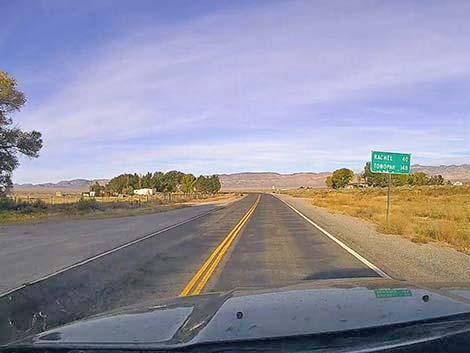 Sign: mileage to points ahead (view W) |
The Alamo Breccia provides evidence of an asteroid that impacted shallow, off-shore waters here about 380 million years ago. The asteroid created a large crater and generated several large tsunamis. Devastation from the tsunamis is recorded in the rocks in the form of solidified breccia, which is a geological term that refers to broken rocks. The impact tossed out huge chunks of rock, and the tsunamis pushed those debris around. The initial largest tsunamis moved large chunks of rock (see base of the outcrop), and later smaller tsunamis moved only sand and gravel (see top of the outcrop), all recorded in the cliff. Continuing, Highway 375 drops out of the mountain canyon into Tikaboo Valley and bends to the right to head northwest. |
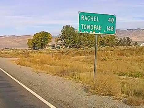 Distances: Rachel 40 miles; Tonopah 148 miles (view W) |
At about 14.38 miles out, Highway 375 passes a wide, graded dirt road on the left, which is marked only with a stop sign. Again, this is Groom Lake Road. This is a pilgrimage drive for Area 51 believers, and the well-maintained road usually is suitable for carefully driven sedans. Everyone can drive west 14 miles to the gate, but it is guarded by heavily armed "camo dudes," so don't even think about climbing over the gate. Signs prohibit photography, but if visitors are quick, they can take selfies and get away before the camo dudes drive down from their hilltop lookout post. Back on Highway 375, Tikaboo Valley is full of Joshua Trees. It turns out that there are two kinds of Joshua Tree, Western Joshua Trees and Eastern Joshua Trees. Here, on the east side of Tikaboo Valley, Joshua Trees are short with branches that start near the ground. On the far side of the valley, however, the Joshua Trees are taller and start branching high above the ground. There are other difference too, and a roadside exhibit, at about 16.72 miles out, provides lots of information. Here in northern Tikaboo Valley is the only place where the two kinds come together, and they hybridize here. |
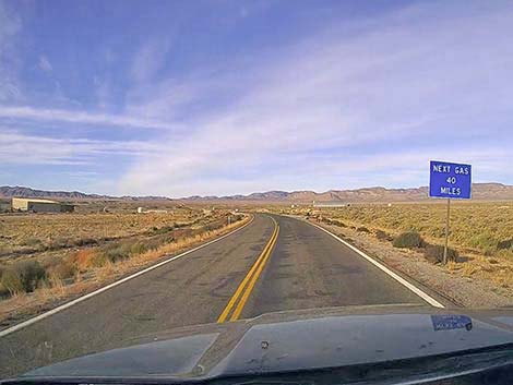 Sign: next gas 40 miles (but don't count on it; view W) |
Continuing northwest on Highway 375, at about 19.4 miles out, a dirt road branches hard to the left. The intersection is unmarked except for a stop sign, but this is Mailbox Road. This intersection is the original site of the "black mailbox," which was replaced by a white mailbox (part of the government disinformation campaign). No mailboxes remain, but even so, the site of the original Black Mailbox is another stop on the ET Highway pilgrimage. Continuing northwest on Highway 375, at about 21.5 miles out, a dirt road branches to the right. The intersection is unmarked, but the graded N Crescent Road runs north along the west side of Mt. Irish into Basin and Range National Monument. The road normally is suitable for very carefully driven sedans, but it is subject to washouts and there are some sandy spots. |
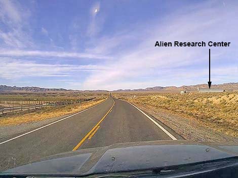 Highway 375 approaching Alien Research Center (view SW) |
Continuing on, Joshua Trees become sparse, and it is interesting to note that near the last of the Joshua Trees, there are adult trees to the left, but to the right, almost all are juveniles (unbranched). This is evidence that as global temperatures are increasing, Joshua Trees are moving northward and towards higher elevations to cooler climes. By this time, almost all of the Mojave Desert vegetation species have dropped out, being replaced with species typical of the Great Basin Desert. The majority of the shrubs here are Big Sagebrush. At about 27.2 miles out, Highway 375 passes a paved road leading to a gravel pit on the right. When not in operation, this is another place where self-sufficient campers can stop for the night. |
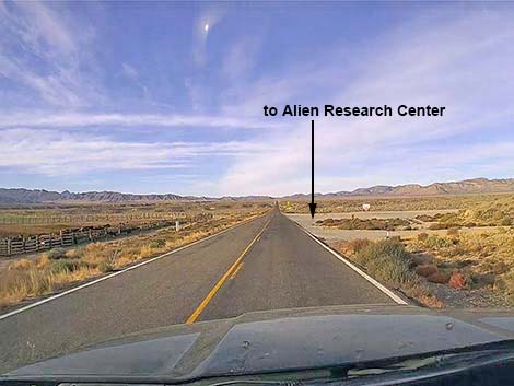 Highway 375 at Alien Research Center turnoff (view SW) |
Beyond the gravel pit, Highway 375 passes a road sign stating that Warm Springs is 70 miles ahead. Warm Springs is a historical site at the end of Highway 375, not a town as might be surmised from the sign. At about 28.9 miles out (Site 1997), Highway 375 passes an unmarked paved road to the right. This is Tempiute Road, which runs up to the old Tempiute Mine. Roads into the mine area are now gated, but the road makes for a nice spin up into the mountains where visitors can find a few campsites. Highway 375 begins climbing over a low pass, which is Coyote Summit. Just over the summit (32.4 miles out), there is a paved turnout where aviation buffs sometimes stop to photograph low-flying military jets as they scream up Tikaboo Valley at sagebrush-height and climb to barely clear the hilltops at Coyote Summit before dropping into Sand Spring Valley to the north. Rough dirt roads take drivers to higher overlooks with a view to the south. |
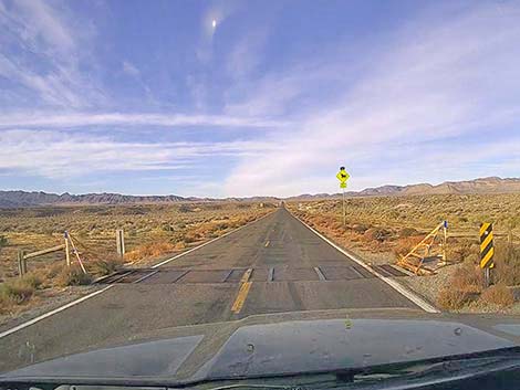 Highway 375 crossing a cattle guard into open range (view SW) |
Descending the north side of Coyote Summit, visitors encounter vast views of typical Great Basin scenery: big valleys, long mountain ranges, and lots and lots of sagebrush. Continuing, at about 37.24 miles out (site 1998), Shadow Road branches to the right. The road is unmarked except for a stop sign, but the well-graded road runs north along the west side of the Worthington range and enters Basin and Range National Monument into Garden Valley. From this intersection, visitors can look west down into Sand Spring Valley and see the small town to Rachel. Arriving in Rachel (38.9 miles out), the first business is the gas station, which is set back a ways from the highway to the left. |
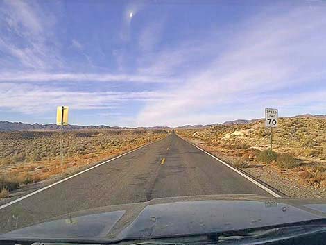 Highway 375 speed limit bumps up to 70 mph (view SW) |
The next (and last) business in Rachel (Site 2000; 39.3 miles out) is the Little A'Le' Inn, on the left. This is the last, and most important Area 15 pilgrimage stop along the ET Highway. Be sure to stop in for drinks, hot food, and souvenirs, and stay for the night too. Rachel, with its reputation for aliens and secret military aircraft, is always an interesting place to stop and rest awhile. Rachel attracts an odd collection of visitors and residents, so strike up a conversation if possible. From Rachel, Highway 375 continues northwest another 60 miles to Highway 6 (Site 2001, 98.35 miles out), and the scenery only gets better. |
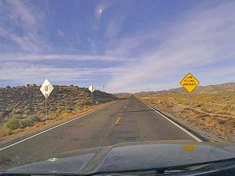 Sign: Caution Low flying aircraft (they can be startling) |
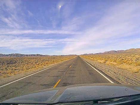 Highway 375 heading into the desert (view SW) |
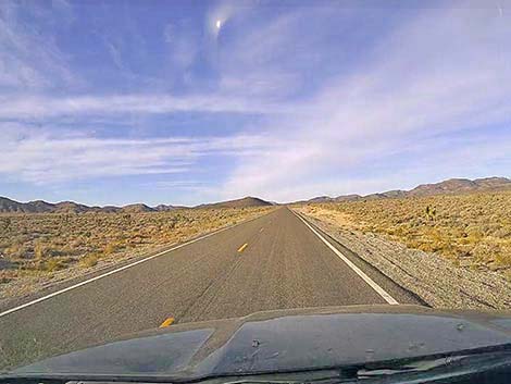 Highway 375 traversing the Mojave Desert (view SW) |
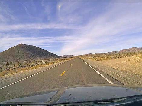 Highway 375 getting into the hills (view SW) |
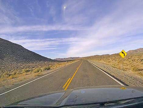 Sign: caution road curves (view SW) |
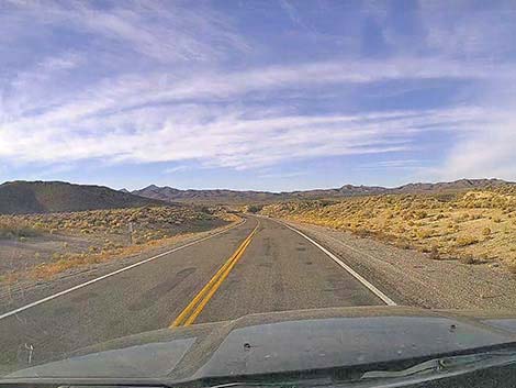 After a long, straight stretch, the road curves (view SW) |
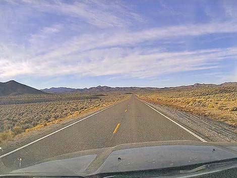 Badger Mountain to the left in the far distance (view SW) |
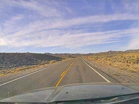 Highway 375 traversing the Mojave Desert (view SW) |
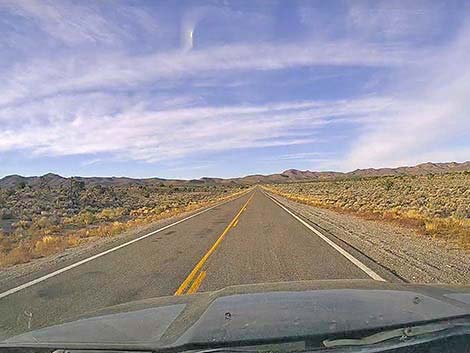 Highway 375 heading for the hills (view SW) |
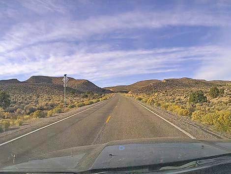 Highway 375 climbing into the hills (view SW) |
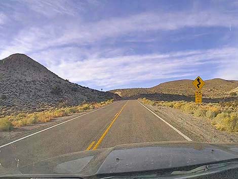 Sign: caution winding road ahead (view SW) |
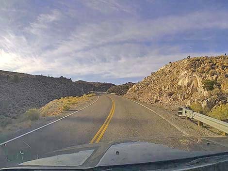 Highway 375 climbing through the hills (view SW) |
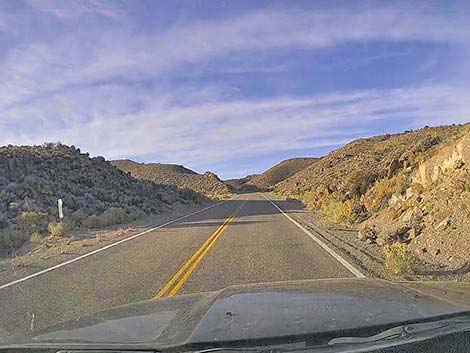 Highway 375 climbing through the hills (view SW) |
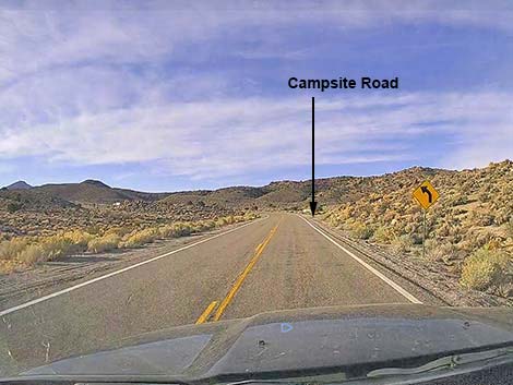 Sign: caution curve ahead (view SW) |
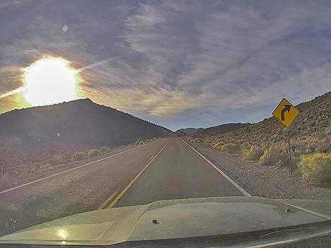 Sign: caution curve ahead (view S) |
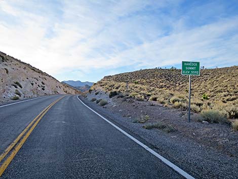 Sign: arriving at Hancock Summit (view S) |
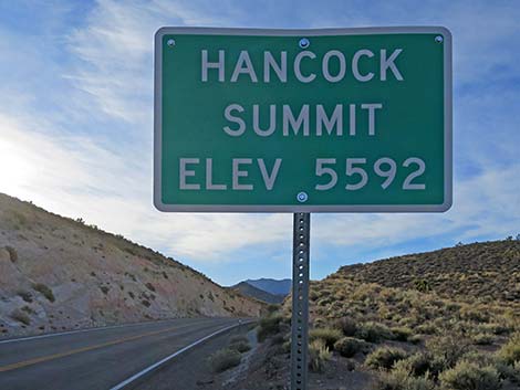 Sign: Hancock Summit 5,592 ft elevation (view S) |
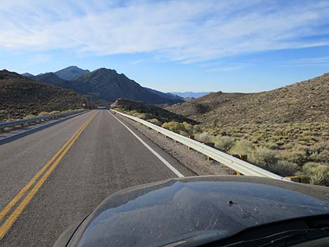 Highway 375 descending over Hancock Summit (view S) |
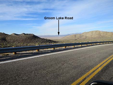 Highway 375 with big views west |
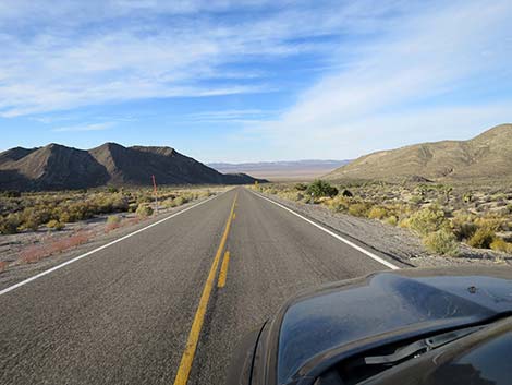 Highway 375 with big views west |
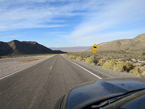 Sign: caution open range |
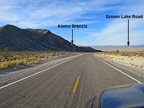 Highway 375 with view of Alamo Breccia and Groom Lake Road |
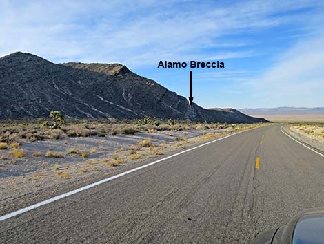 Highway 375 with view of Alamo Breccia |
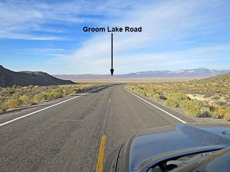 Highway 375 approaching Alamo Breccia guard rail (view W) |
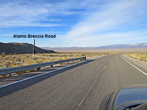 Highway 375 approaching Alamo Breccia Road (view W) |
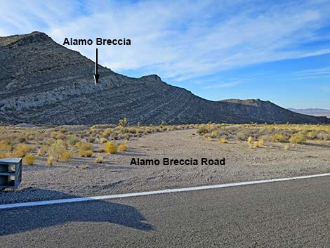 Alamo Breccia Road (view S from Highway 375) |
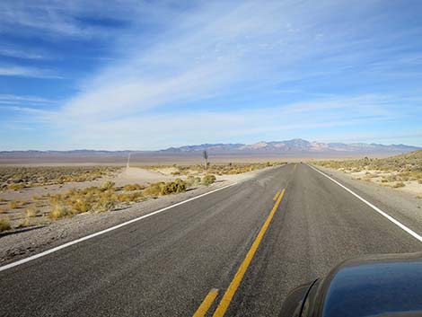 Highway 375 approaching Groom Lake Road (view NW) |
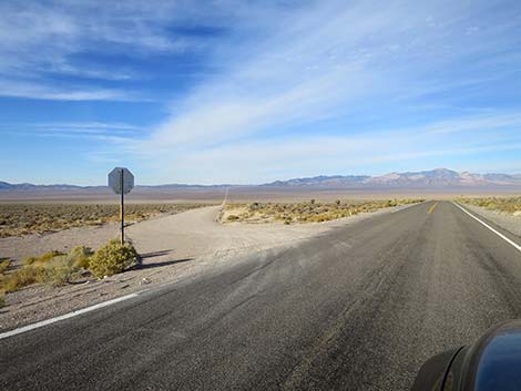 Groom Lake Road (view W from Highway 375) |
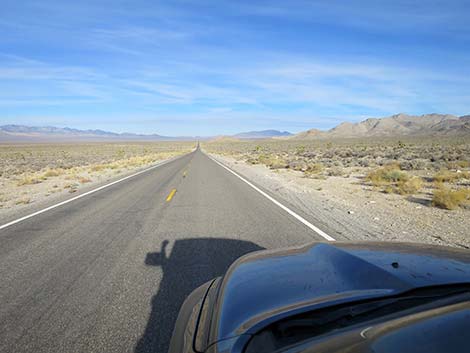 Highway 375 in Tikaboo Valley (view NW) |
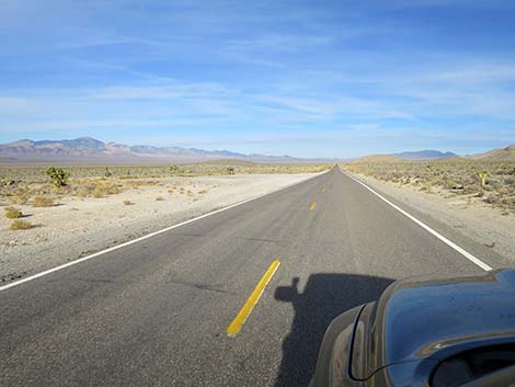 Highway 375 approaching Joshua Tree exhibit (view NW) |
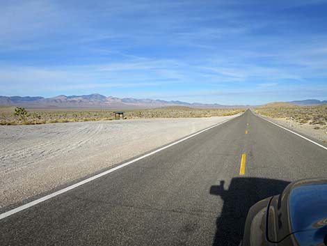 Highway 375 at Joshua Tree exhibit (view NW) |
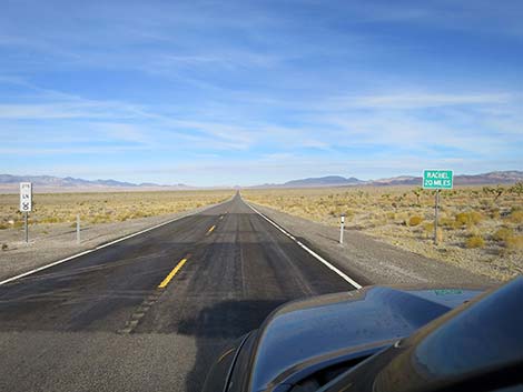 Sign: Rachel 20 miles ahead (view NW) |
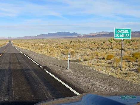 Highway sign: Rachel 20 miles |
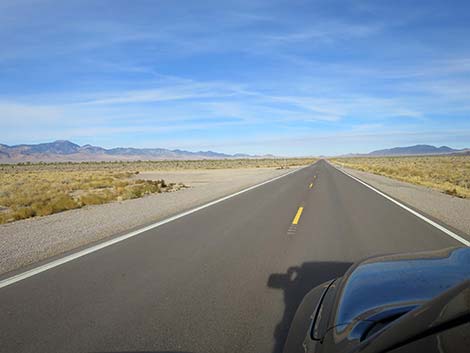 Highway 375 approaching Mailbox Road (view NW) |
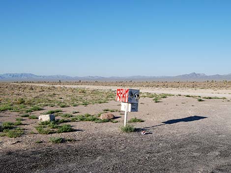 White mailbox, which replaced the black mailbox (now gone) |
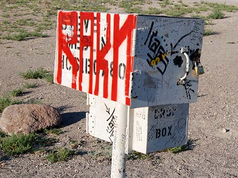 White mailbox, which replaced the black mailbox (now gone) |
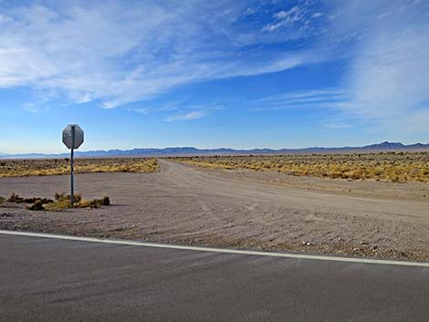 Mailbox Road (view SE from Highway 375) |
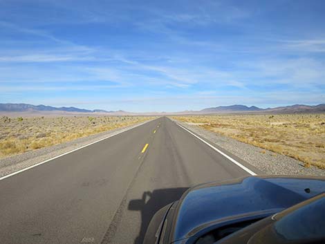 Highway 375 in Tikaboo Valley (view NW) |
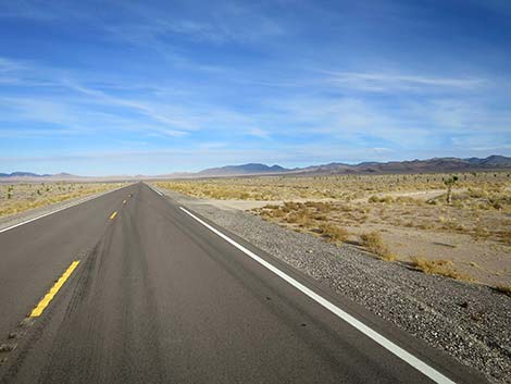 Highway 375 approaching N Crescent Road (view NW) |
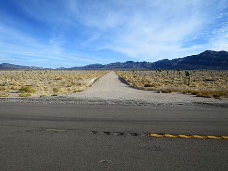 N Crescent Road (view N from Highway 375) |
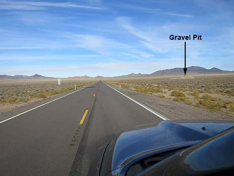 Highway 375 in Tikaboo Valley (view NW) |
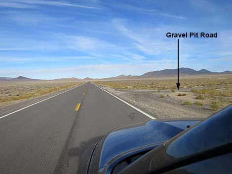 Highway 375 approaching paved gravel pit road (view NW) |
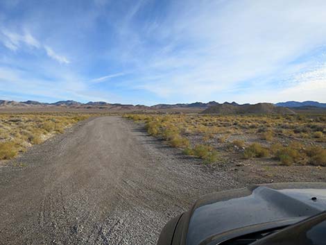 Starting on Gravel Pit Road (view NE from Highway 375) |
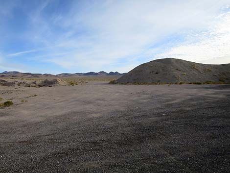 Gravel pit campsite (view NE) |
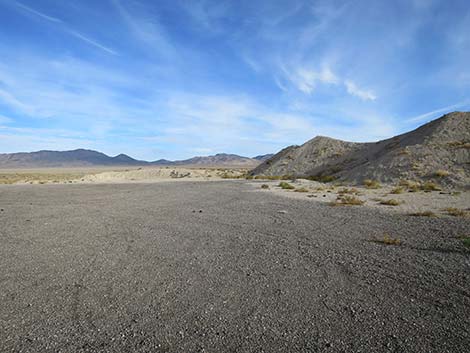 Gravel pit campsite (view N) |
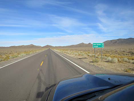 Highway 375 approaching highway sign (view NW) |
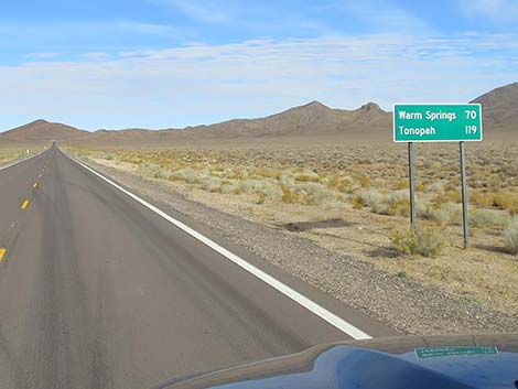 Distances: Warm Springs 70 miles; Tonopah 119 miles |
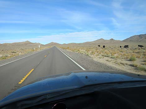 Always watch for free-range cattle (view NW) |
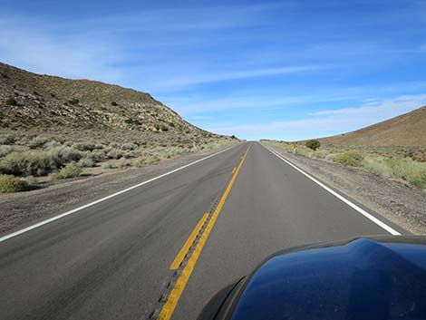 Highway 375 climbing towards Coyote Summit (view NW) |
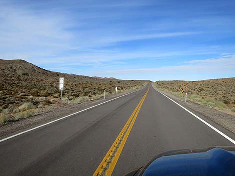 Highway 375 climbing approaching Coyote Summit (view NW) |
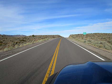 Sign: Coyote Summit (view NW) |
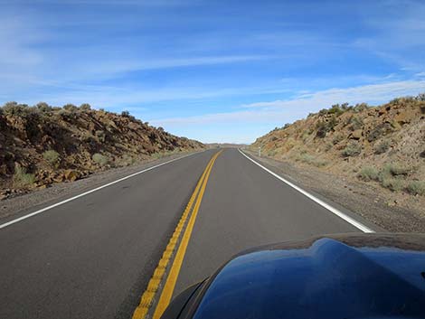 Highway 375 crossing Coyote Summit (view NW) |
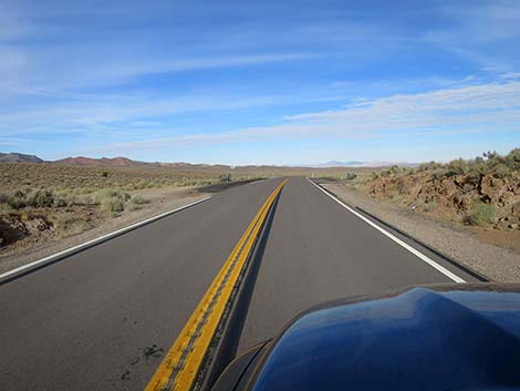 Coyote Summit paved pullout (view NW) |
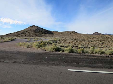 Coyote Summit dirt pullout (view S) |
 Low-flying F-16 crossing Coyote Summit (view up) |
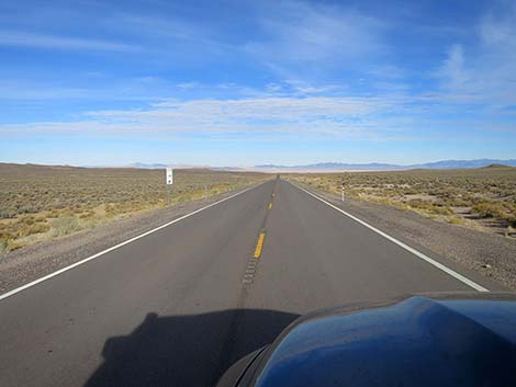 Highway 375 with big views into the Great Basin (view NW) |
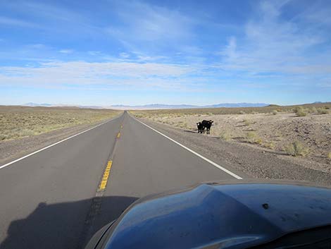 Always watch for free-range cattle (view NW) |
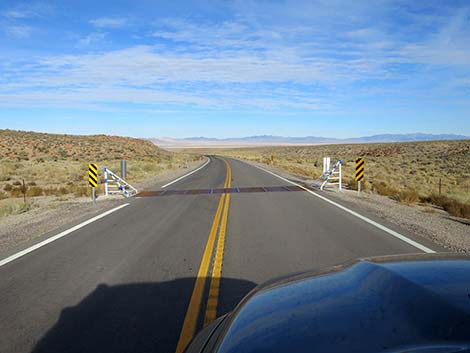 Highway 375 at a cattle guard (view NW) |
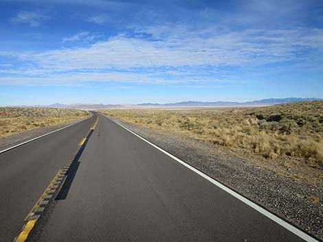 Highway 375 with big views into Sand Springs Valley (view NW) |
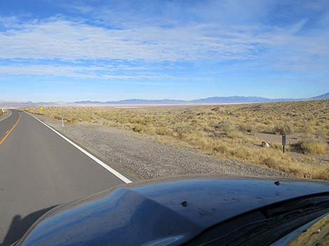 Highway 375 with big views into the Great Basin (view NW) |
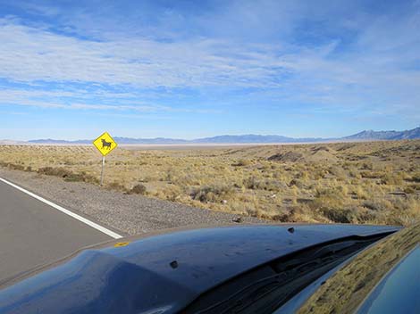 Sign: caution open range (note gravel pit in the background) |
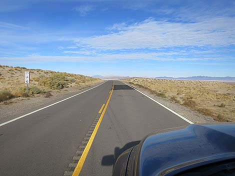 Highway 375 at mile post "Lincoln County Mile 12" (view W) |
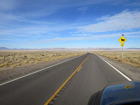 Sign: caution open range (view W) |
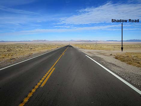 Highway 375 approaching Shadow Road (view W) |
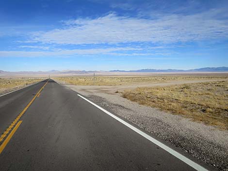 Highway 375 at Shadow Road (view NW) |
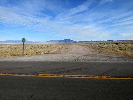 Shadow Road (view N from Highway 375) |
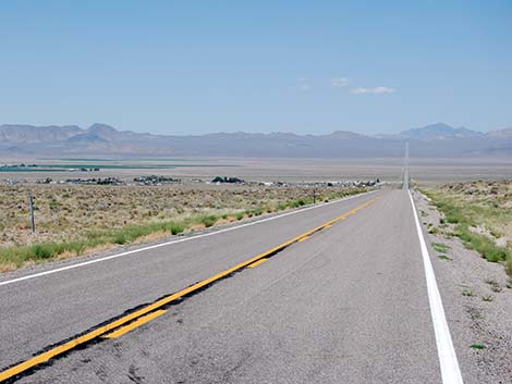 Highway 375 approaching Rachel (view W) |
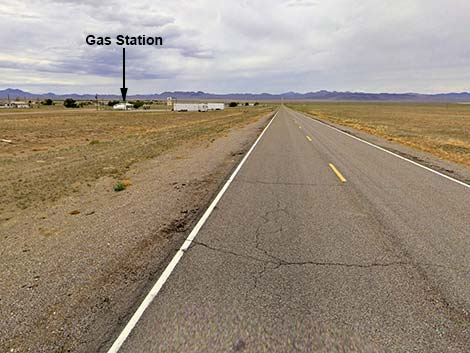 Highway 375 approaching the Rachel gas station (view W) |
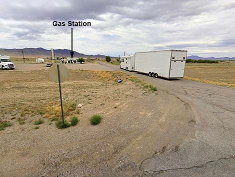 Rachel gas station road (view S from Highway 375) |
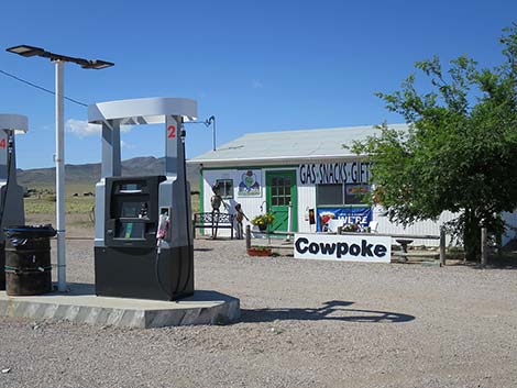 Rachel gas station (view SE) |
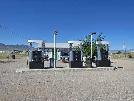 Rachel gas station pumps (view S) |
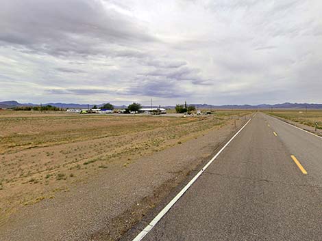 Highway 375 approaching Little A'Le' Inn (view W) |
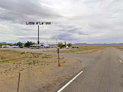 Highway 375 at Little A'Le' Inn Road (view W) |
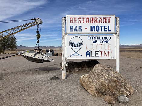 Little A'Le' Inn sign (view W) |
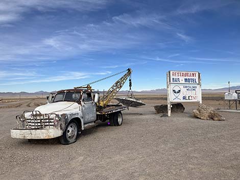 Little A'Le' Inn (view NW) |
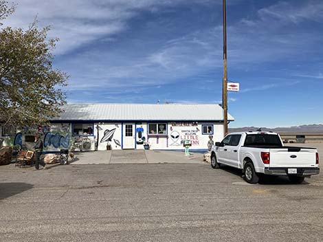 Little A'Le' Inn bar, restaurant, and curio shop (view W) |
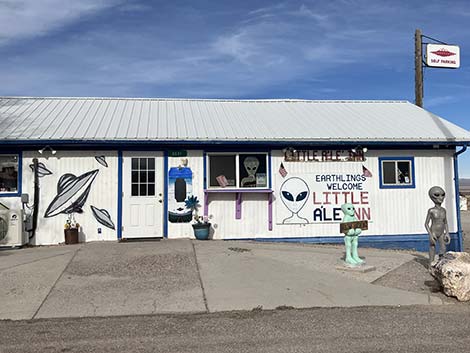 Little A'Le' Inn bar, restaurant, and curio shop (view W) |
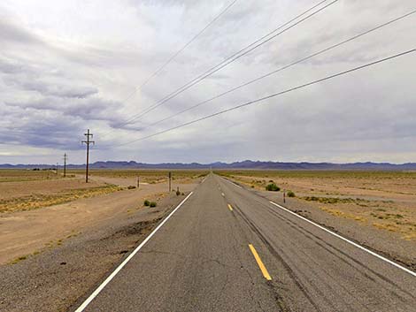 Highway 375 continues another 59 miles to Highway 6 (view NW) |
Table 1. Highway Coordinates based on GPS Data (NAD27). Download highway GPS waypoints (gpx) file.
| Wpt. | Location | Latitude (N) | Longitude (W) | Elevation (ft) | Point-to-Point Distance (mi) | Cumulative Distance (mi) |
|---|---|---|---|---|---|---|
| 0677 | Hwy 93 at Hwy 318 | 37.52891 | 115.21911 | 3,831 | 0.00 | . |
| 0676 | Hwy 318 at Hwy 375 | 37.53219 | 115.23044 | 3,800 | 0.00 | 00.00 |
| 1572 | Hwy 375 at Reed Spring Rd | 37.49829 | 115.32551 | 4,701 | 5.85 | 05.85 |
| 1996 | Hwy 375 at Alamo Breccia Rd | 37.41356 | 115.39530 | 4,976 | 7.78 | 13.63 |
| 1573 | Hwy 375 at Groom Lake Rd | 37.41483 | 115.40892 | 4,836 | 0.75 | 14.38 |
| 1581 | Hwy 375 at N Crescent Rd | 37.47648 | 115.51059 | 4,616 | 7.08 | 21.46 |
| 1997 | Hwy 375 at Tempiute Mine Rd | 37.54493 | 115.61472 | 5,048 | 7.42 | 28.88 |
| 1998 | Hwy 375 at Shadow Rd | 37.63128 | 115.71220 | 5,059 | 8.36 | 37.24 |
| 1999 | Hwy 375 at Nellis Range Rd | 37.63447 | 115.71873 | 5,012 | 0.42 | 37.66 |
| 1574 | Hwy 375 at Shadow Rd | 37.64310 | 115.73566 | 4,869 | 1.11 | 38.77 |
| 2000 | Hwy 375 @ Little A'Le' Inn Rd | 37.64722 | 115.74409 | 4,823 | 0.54 | 39.31 |
| 2001 | Hwy 375 at Hwy 6 | 38.19099 | 116.36900 | 5,427 | 59.04 | 98.35 |
Happy Hiking! All distances, elevations, and other facts are approximate.
![]() ; Last updated 241124
; Last updated 241124
| Backroads | Hiking Around Las Vegas | Glossary | Copyright, Conditions, Disclaimer | Home |