Backroads Around Las Vegas, Basin and Range National Monument
 Highway 318, approaching Timber Mountain Pass Road (view N) |
Overview Timber Mountain Pass Road is a well-maintained dirt road that normally is suitable for 2WD vehicles. The road starts along Highway 318 north of Hiko and runs southwest over Timber Pass, down across Coal Valley, and ends at an intersection with Seaman Wash Road at a gap in the Golden Gate Range called Water Gap. Timber Mountain Pass Road provides access to Heizer's City, the community of Cherry Creek in the Quinn Canyon Range, and it provides sightseers spectacular scenery, ranchers access to their herds, and residents a way home. For eastbound photos, see Timber Mountain Pass Road - Eastbound. |
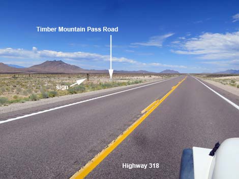
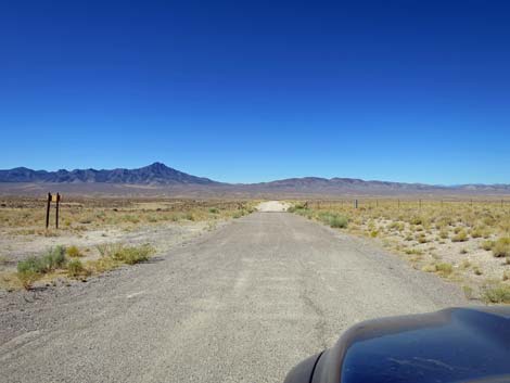
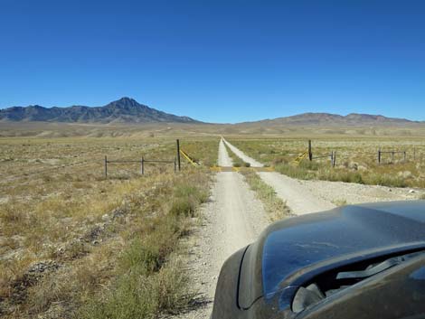
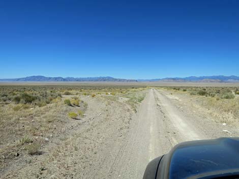
 Highway 318 at Timber Mountain Pass Road (view W) |
Watch Out Other than the standard warnings about driving in the desert, ...this road is pretty safe, but be sure that your vehicle is in good working condition, carry plenty of water (radiator and drinking), and pack a lunch. Always drive carefully; even though the road is well maintained, there are occasional hazards such as errant boulders in the roadway. While out, please respect the land and the other people out there, and try to Leave No Trace of your passage. This road goes into remote areas, so be sure to bring the 10 Essentials. Cell phones don't work. |
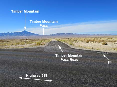
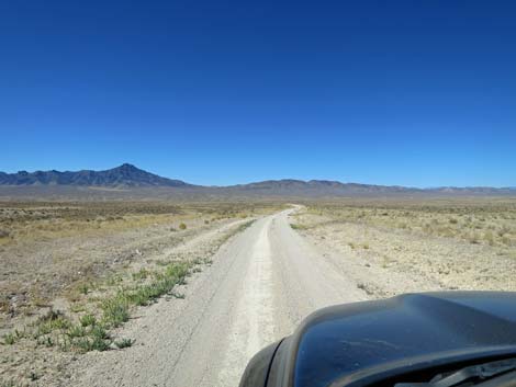
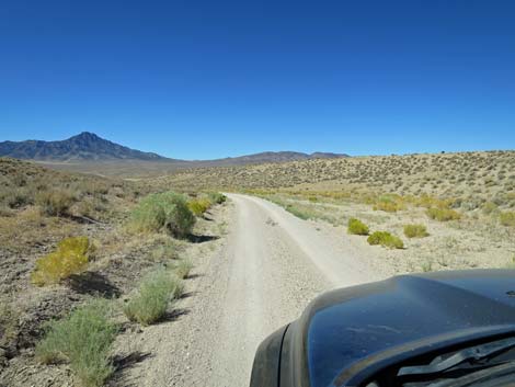
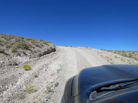
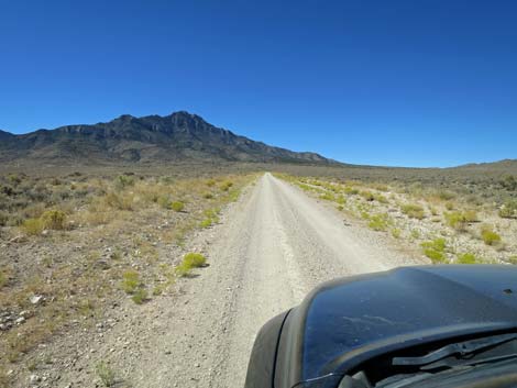
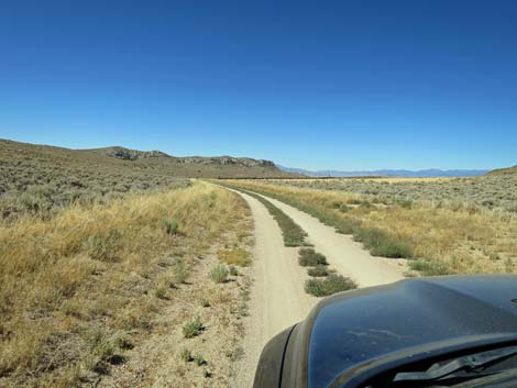
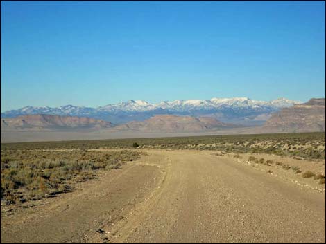
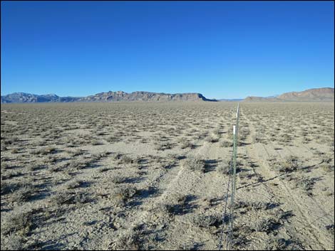
 Timber Mountain Pass: Road Number 84 (view W) |
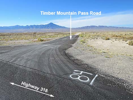
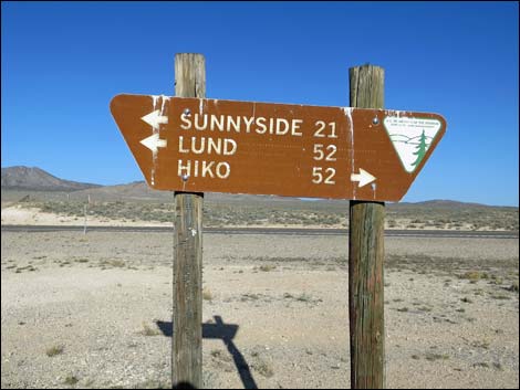
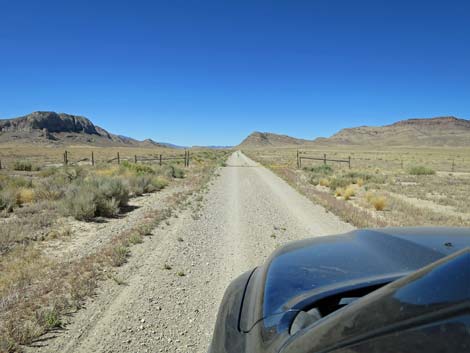
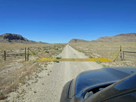
Getting to the Road Timber Mountain Pass Road is located in the east-central part of Basin and Range National Monument, about 2-1/4 hours (156 miles) northeast of Las Vegas driving directly, or about 50 minutes (49 miles) north of the intersection of Highway 93 and Highway 318. From Las Vegas, drive north on Interstate-15 21 miles to Highway 93. Turn left onto Great Basin Highway (Hwy 93) and top off the gas tank if necessary. Drive north past the towns of Alamo (95 miles from Las Vegas) and Ash Springs (102 miles) to the intersection of Highway 93 and Highway 318 (107 miles). Gasoline is available in Alamo, Ash Springs, Rachel, and Lund. Turn left onto Highway 318 and drive west then north on Highway 318 for 49 miles to Timber Mountain Pass Road on the left (shortly beyond Mile Post 49). The 4-way intersection is marked only by a directional sign facing away from the highway. Nye County also marks roads with a spray-painted number on the pavement: look for #84. |
 Timber Mountain Pass Road (view SW from Highway 318) |
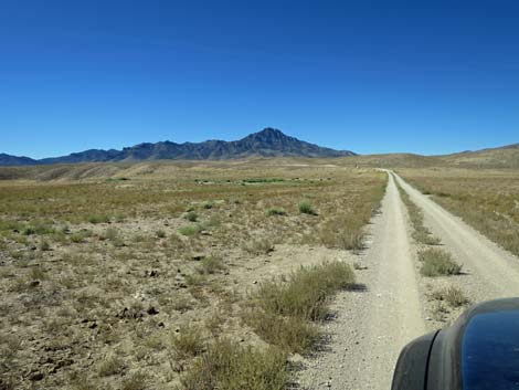
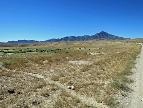
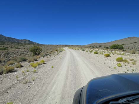
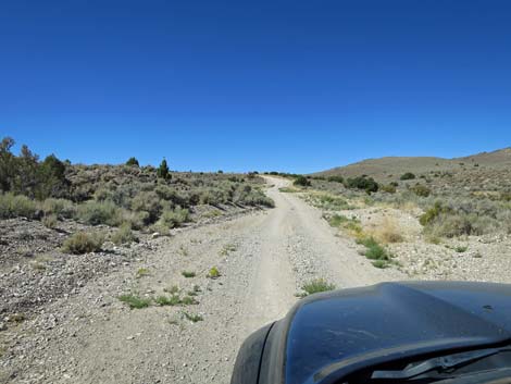
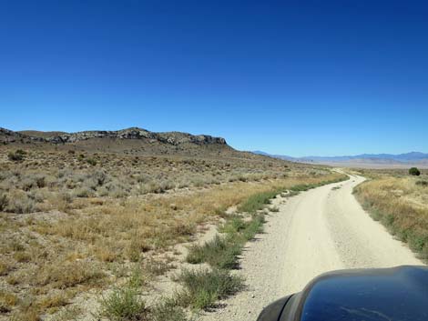
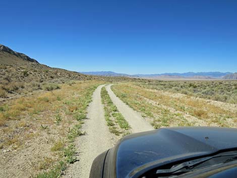
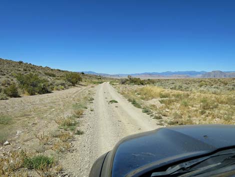
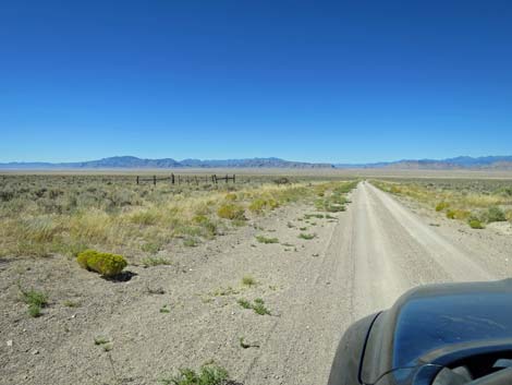
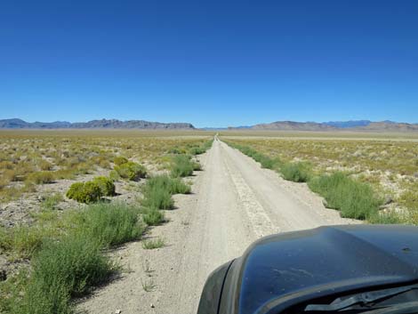
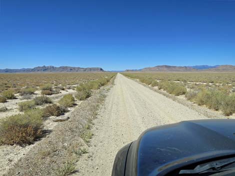
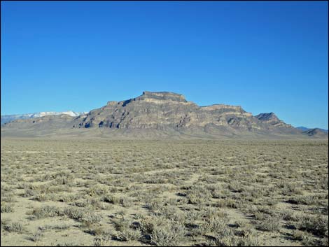
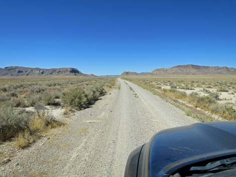
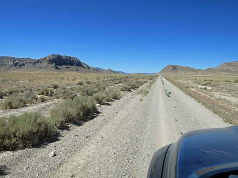
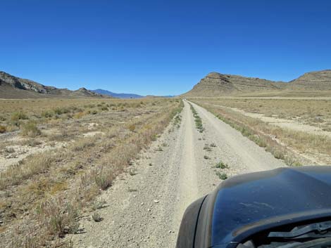
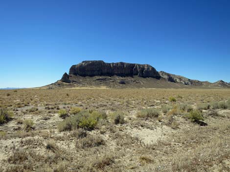
The Road From the pavement (Table 1, Site 1588), the one-lane Timber Mountain Pass Road turns southwest, crosses a cattle guard, and descends through a canyon (use caution on the blind curves) into a desert valley covered with low shrubs. The Black Cliffs of Timber Mountain tower ahead on the left. In about 3 miles, the road crosses another cattle guard and continues straight across the valley. This is the White River, which flowed more regularly during the Ice Age, but ranchers drill wells here to water their cattle. The stock pond on the left occasionally holds water for cows, but it also provides water for birds and other creatures, so keep an eye out when passing through. The funny round thing with the solar panels is the water pump. |
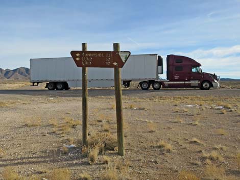 No stop signs, but this sign faces away from Hwy 318 (view NE) |
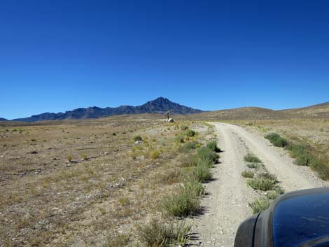
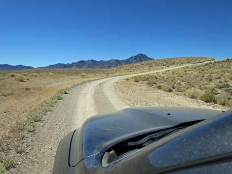
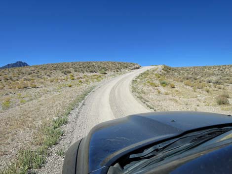
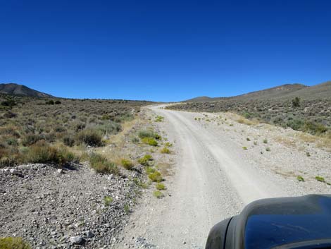
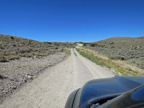
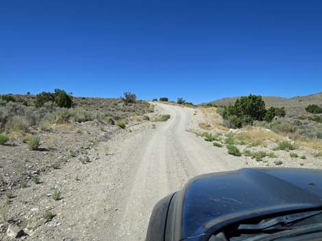
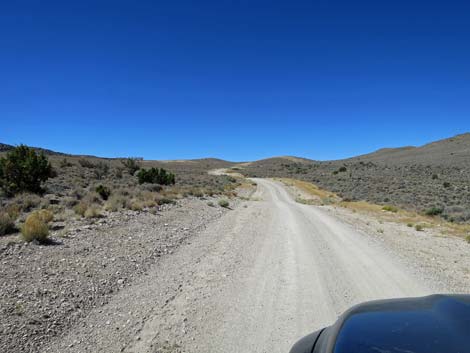
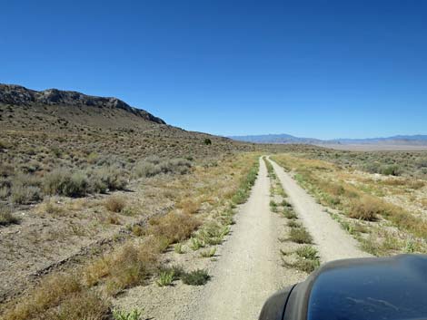
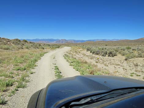
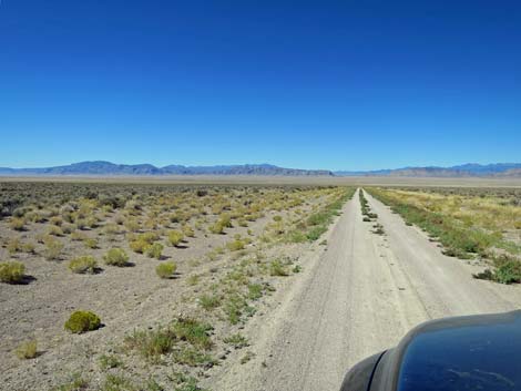
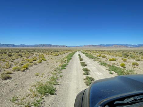
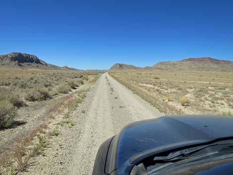
Past the pump, the road bends hard to the right and climbs rather steeply. Use caution on the blind curve to the left at the top. If coming back this way, remember the spot carefully. Beyond that spot, the road climbs gently below the Black Cliffs. At about 7.1 miles out, Timber Mountain Pass Road leaves open BLM land and unceremoniously enters Basin and Range National Monument. The road continues climbing and winding gently upward, and at about at 8.9 miles out, arrives atop Timber Mountain Pass The pass and the view westward is a bit of a letdown, but shortly (9.1 miles out; Site 1934), the road passes the historical wooden sheep corrals on the right (useful campsite). From the corrals, drivers get a glimpse down the canyon of the wondrous scenery to come. |
 Mileage and direction (view NE towards Hwy 318) |
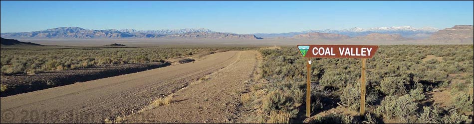
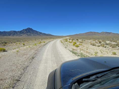
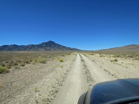
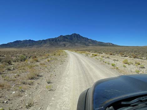
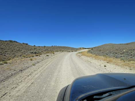
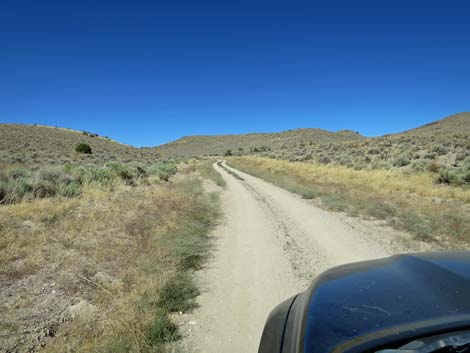
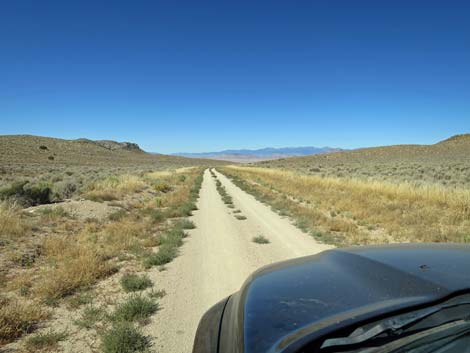
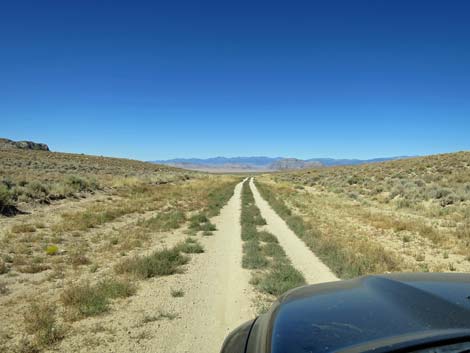
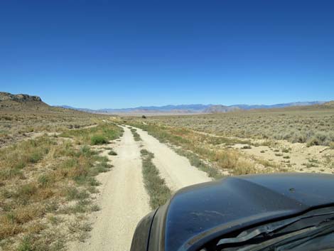
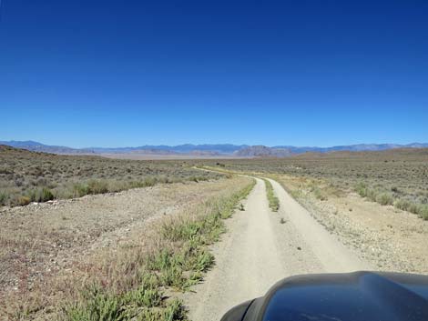
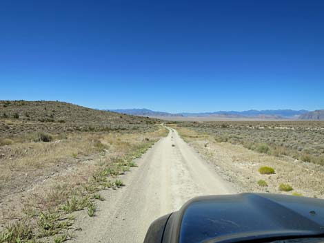
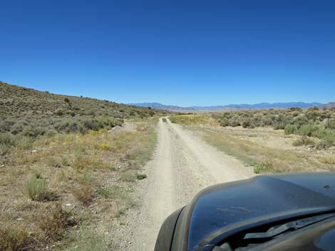
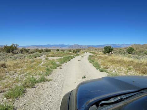
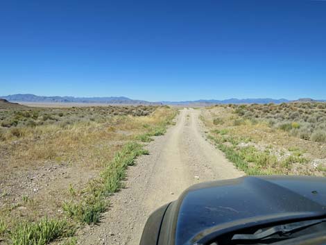
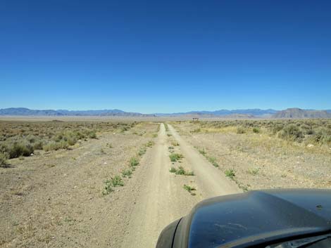
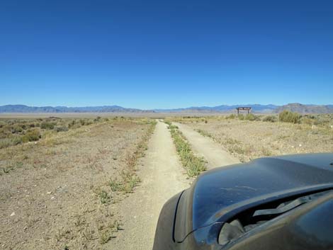
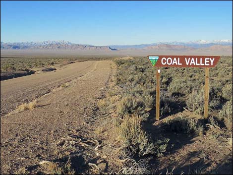
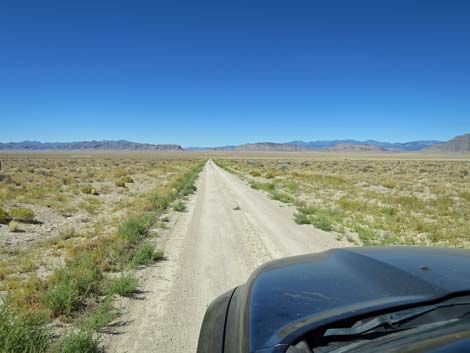
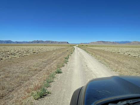
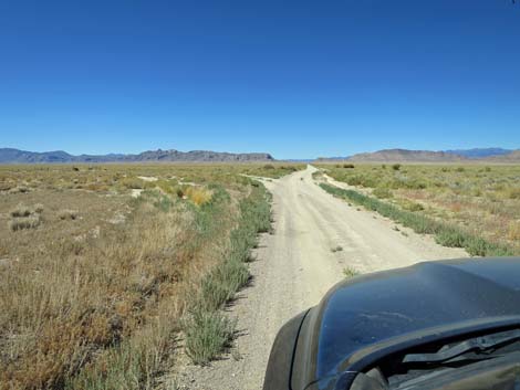
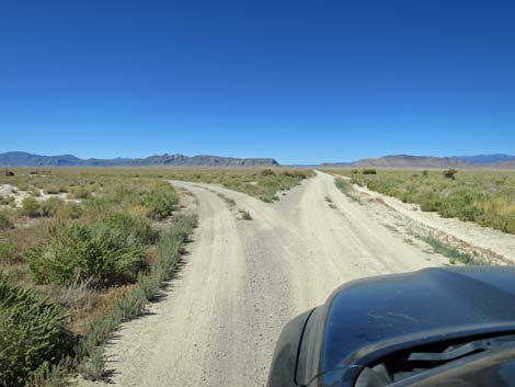
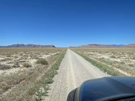
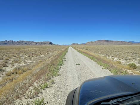
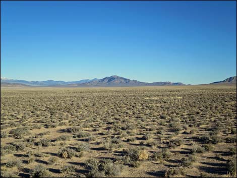
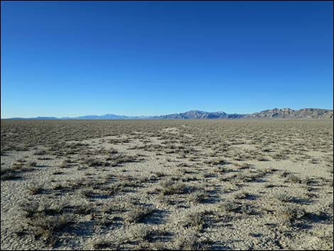
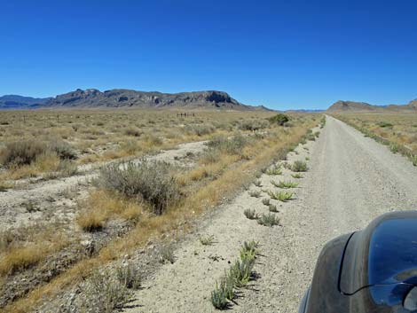
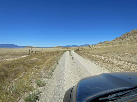
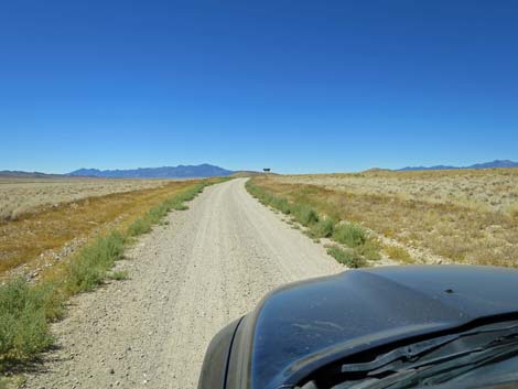
The road winds down the canyon, still with gentle grades and gentle curves, and at about 11.5 miles out passes a sign announcing Coal Valley. By this time, the views across Coal Valley and across the Golden Gate Range are grand, but just ahead (11.6 miles), the road dips over a low slope, and from that point, the view truly is spectacular. Timber Mountain Pass Road continues into the bottom of Coal Valley, crossing cattle guards and passing various road intersections (Site 1935; not a single sign), but always stays straight. The bottom of Coal Valley is a nice place to stop, get out of the car, stretch the legs, and soak in the full glory of a wide-open basin and range. A few cows or pronghorn might join the scene, but it is very unlikely that another vehicle will pass by. |
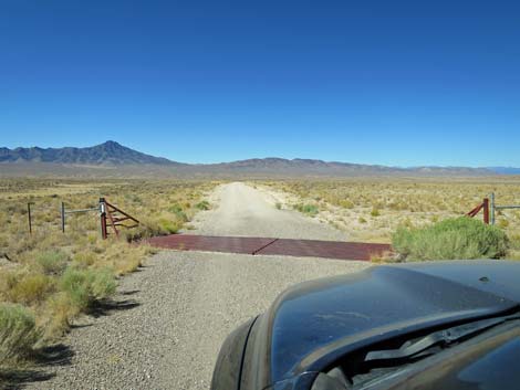 Timber Pass Road is paved a few yards to a cattle guard (view SW) |
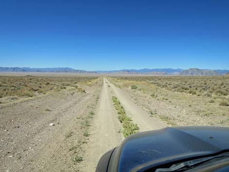
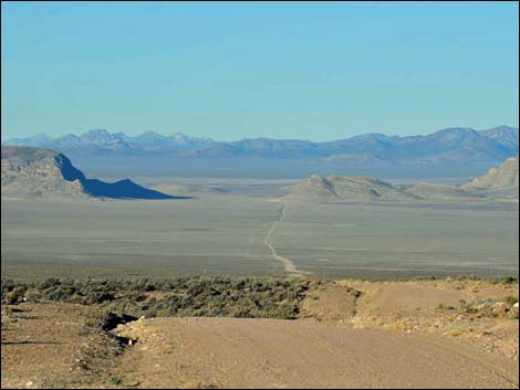
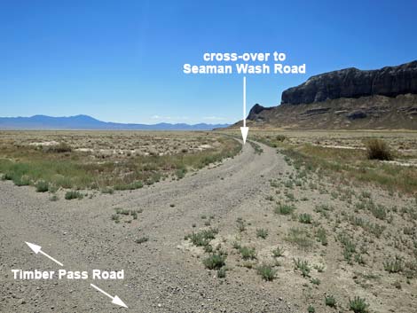
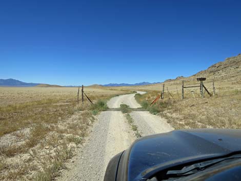
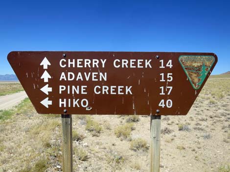
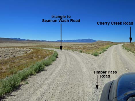
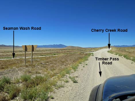
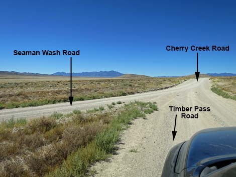
Continuing southwest, the road runs into the Water Gap, a gap in the Golden Gate Range where water flows from Garden Valley (to the west) down into Coal Valley. At about 22.4 miles out, the road crosses a cattle guard with a sign announcing Water Gap. In another 0.4 miles, at 22.8 miles out, Timber Mountain Pass Road ends at a 3-way intersection (Site 1560) with Seaman Wash Road (to the left). Cherry Creek Road continues straight. Visitors to Michael Heizer's City would continue west on Cherry Creek Road for 2.2 miles to Heizer Ranch Road, on the left. |
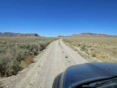
 One-lane, graded dirt road (view SW) |
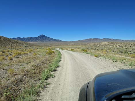
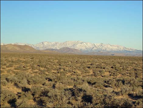
 The Black Cliffs of Timber Mountain are a good landmark (view SW) |
 Watch for blind curves descending the canyon (view SW) |
 Descending the canyon (view SW) |
 Descending the canyon (view SW) |
 The canyon begins to open up (view SW) |
 The road enters the first part of the valley (view SW) |
 Crossing the first part of the valley (view SW) |
 The road continues towards the Black Cliffs (view SW) |
 The road approaches another blind curve (view SW) |
 Rounding the curve -- all clear ahead (view SW) |
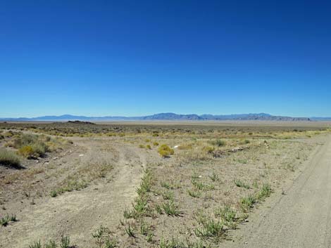
 A side road forks right to a well (view SW) |
 Approaching the second cattle guard (view SW) |
 Crossing White River Valley (view SW) |
 Stock pond on the left: watch for pronghorn (view SW) |
 Approaching the well and pump (view SW) |
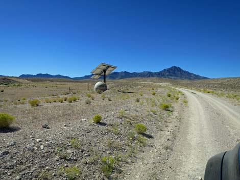 The electric pump is operated using a solar panel (view SW) |
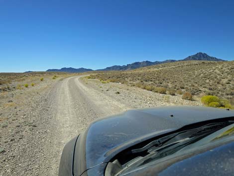 The road begins climbing out of White River Valley bottom (view SW) |
 The road curves right to climb more steeply (view SW) |
 Climbing steeply (view W) |
 Use caution approaching the blind curve left (view SW) |
 Above the steep hill, road is open and easy (view SW) |
 |
 |
 |
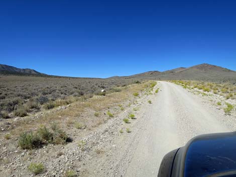 |
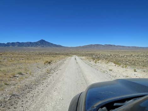
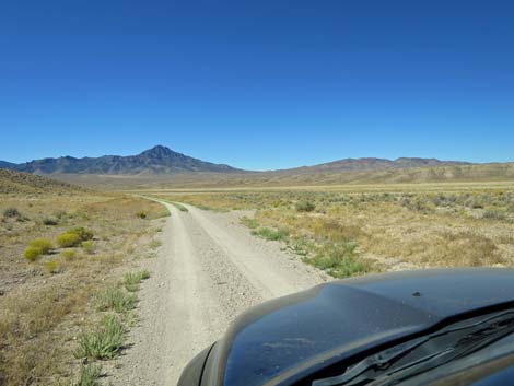
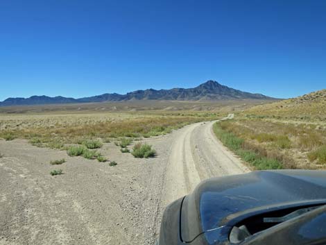
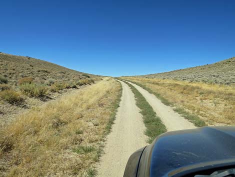
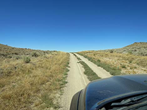
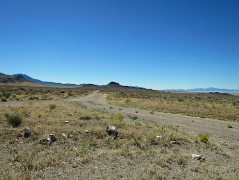
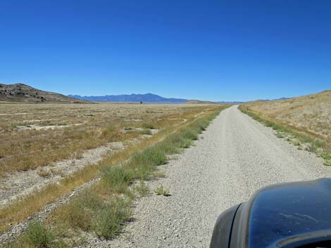
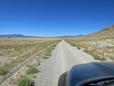
 Timber Mtn Pass Rd traversing open BLM lands (view SW) |
 Timber Mtn Pass Rd traversing open BLM lands (view SW) |
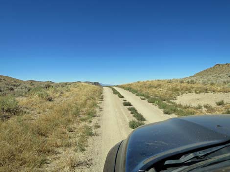
 Approaching the boundary of Basin and Range Nat. Mon. (view SW) |
 Timber Mtn Pass Rd unceremoniously entering B&R Nat Mon (view SW) |
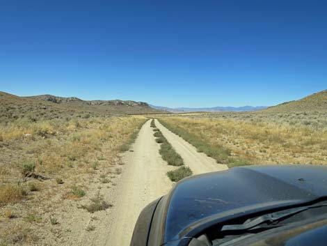
 Inside B&R Nat Mon: Black Cliffs of Timber Mountain (view S) |
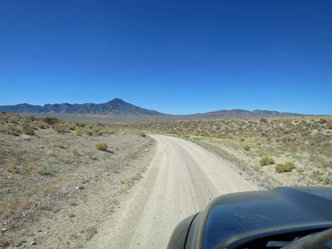
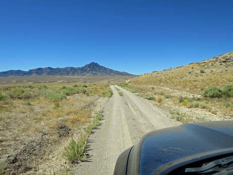
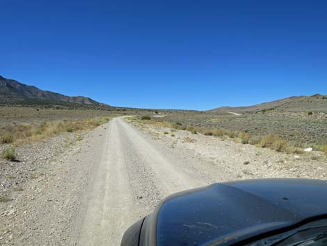
 The road continues gently climbing (view W) |
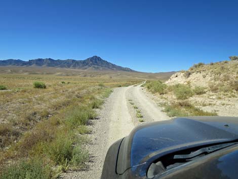
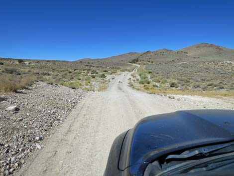
 Approaching a winding portion of the road (view SW) |
 Entering the winding portion (view SW) |
 Coming down this section, it is easy to lose traction (view SW) |
 The more gentle road resumes (view SW) |
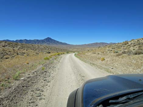
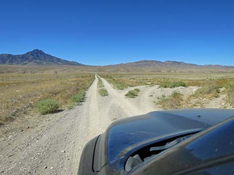
 Climbing gently towards of a pass (view SW) |
 Climbing gently towards of a pass (view SW) |
 Approaching Timber Mountain Pass (view W) |
 Arriving atop Timber Mountain Pass (view W) |
 Beginning to descend over Timber Pass (view W) |
 Descending towards Coal Valley (view W) |
 Approaching the historical sheep corral (view W) |
 Arriving at the historical corral (view W) |
 The historical sheep corral (view N) |
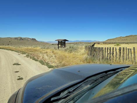 Passing the corral and arriving at the information kiosk (view W) |
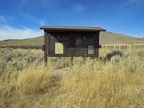 Information kiosk near the corral (view N) |
 Continuing past the kiosk (view W) |
 Views down the canyon begin to get better (view W) |
 The road runs parallel to a wash on the left (view W) |
 Crossing the wash; this can be washed out (view W) |
 Back on easy road (view W) |
 |
 |
 |
 |
 Approaching a major wash crossing (view W) |
 The road runs down the wash and can be washed out (view W) |
 Continuing down the wash (can be washed out; view W) |
 Beyond the sandy wash, the road runs firm again (view W) |
 Continuing the gentle descent into Coal Valley (view W) |
 The road crosses a few minor washes (view W) |
 Approaching the Coal Valley sign (view W) |
 Coal Valley sign (view W) |
 Water Gap on the far side of Coal Valley (view SW) |
 The views are becoming grand again |
 Grand scenery (view W) |
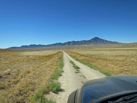
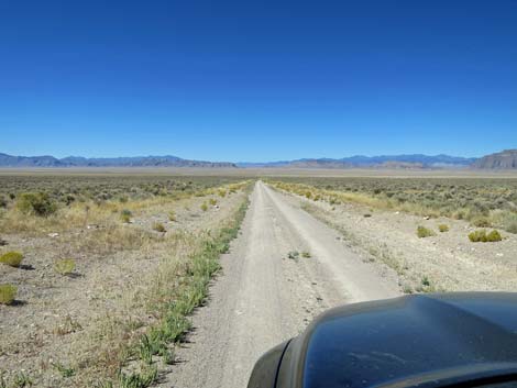
 The road continues to run straight and smooth (view W) |
 The road continues to run straight and smooth (view W) |
 Approaching what looks like a water ditch (view W) |
 Nope, that is a side road (view SW) |
 Side road runs along west side of the Seaman Range (view S) |
 Continuing the gentle descent into Coal Valley (view W) |
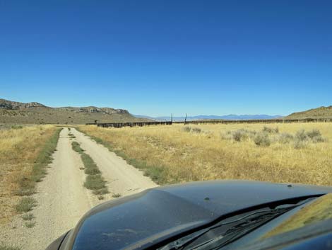
 Approaching a range fence on the left (view W) |
 |
 |
 |
 |
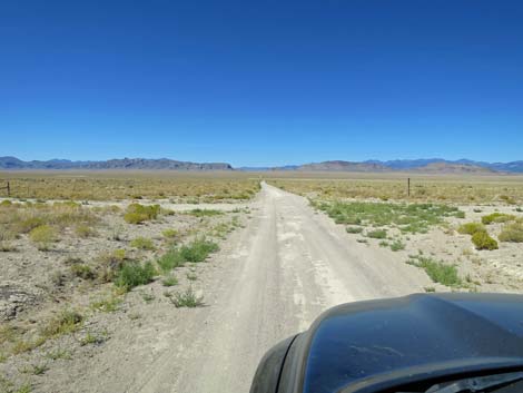 Approaching Highline Road (view W) |
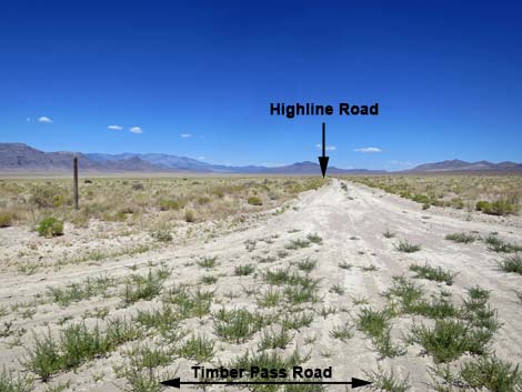 Highline Road (view N from Timber Pass Road) |
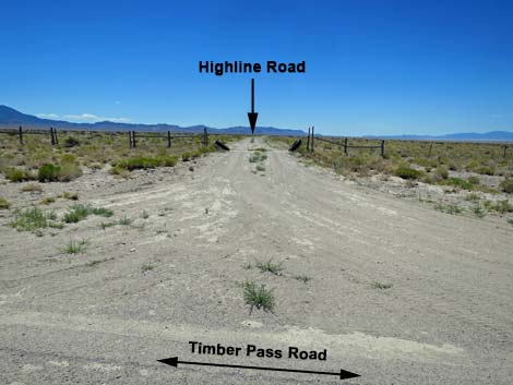 Highline Road (view S from Timber Pass Road) |
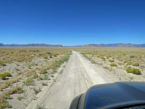
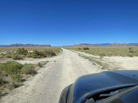
 Past Highline Road, it feels like the bottom of Coal Valley (view W) |
 Beginning across the bottom of Coal Valley (view W) |
 Approaching another crossroad (view W) |
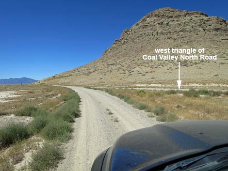
 Approaching east side of triangular intersection (view W) |
 Side road triangle forks left (view SW) |
 Timber Mtn Pass Road crosses the side road (view W) |
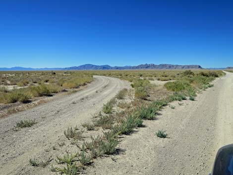
 East edge of Coal Playa (view S from Timber Pass Road) |
 East edge of Coal Playa (view N from Timber Pass Road) |
 The side road marks the edge of the playa bottom (view W) |
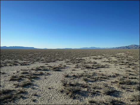
 Notice the silty playa bottom (view W) |
 Silty playa bottom stretches for miles (view W) |
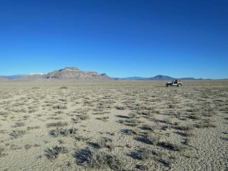
 Grand views from the bottom of Coal Valley |
 Grand views from the bottom of Coal Valley |
 Grand views from the bottom of Coal Valley |
 Grand views from the bottom of Coal Valley |
 Grand views from the bottom of Coal Valley |
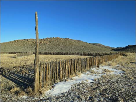
 Range fence in the bottom of Coal Valley |
 Grand views from the bottom of Coal Valley |
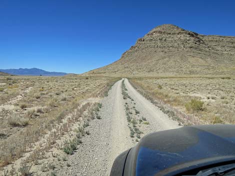
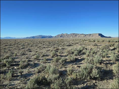 Grand scenery (view SW towards Golden Gate Range) |
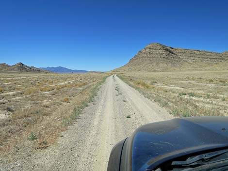
 The road continues straight and smooth across Coal Valley (view W) |
 Water gap still seems a long way off (view W) |
 |
 |
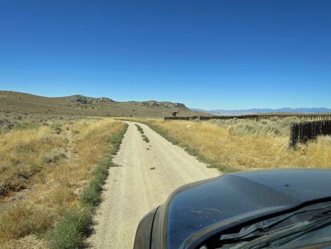
 Approaching a fence and cattle guard (view W) |
 The road crosses the cattle guard (view W) |
 |
 |
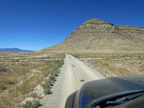
 Approaching the Gates of Water Gap (view SW) |
 Approaching the Gates of Water Gap (view SW) |
 Getting closer to the north edge of Water Gap (view W) |
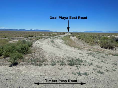
 Approaching Coal Valley North Road (view W) |
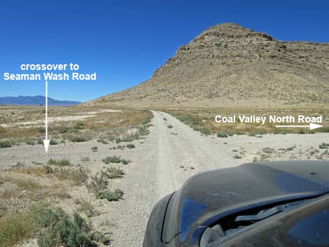 Crossing E side of triangular intersection at Coal Valley North Rd |
 Cross-over road (view SE from Timber Pass Road) |
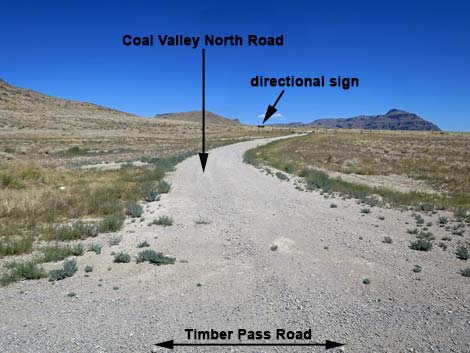 Coal Valley North Road (view N from Timber Pass Road) |
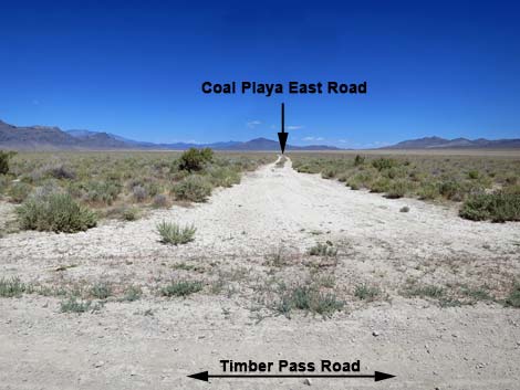
 Approaching W side of triangular intersection at Coal Valley N. Rd |
 Entering Water Gap (view W) |
 Traversing Water Gap (view W) |
 Traversing Water Gap (view W) |
 Approaching Water Gap fenceline (view W) |
 Cattle guard at Water Gap fenceline (view W) |
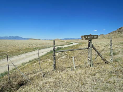 Water Gap sign (view W) |
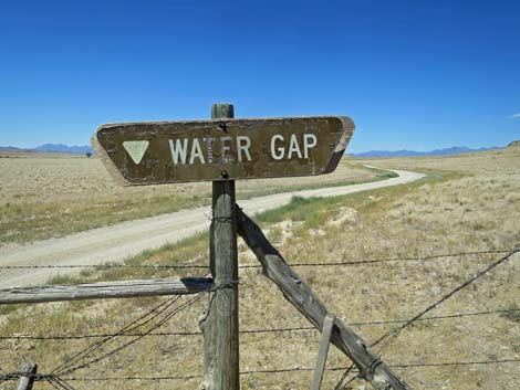 Water Gap sign (view W) |
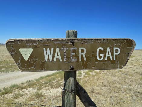 Water Gap sign (view W) |
 Continuing past the cattle guard (view W) |
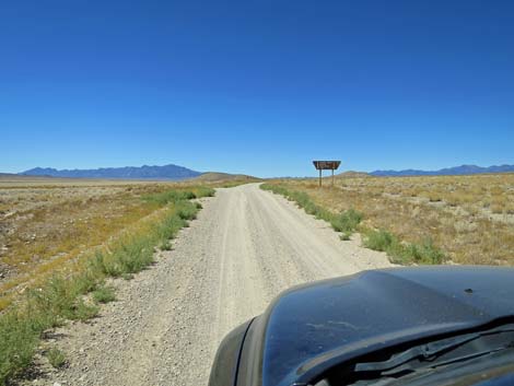 Approaching directional sign at road intersection (view W) |
 Approaching directional sign at 3-way road intersection (view W) |
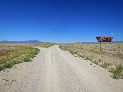
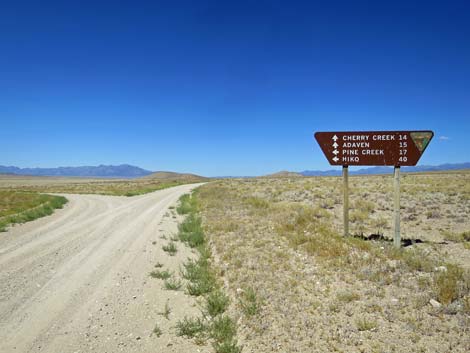 Directional sign at 3-way road intersection (view W) |
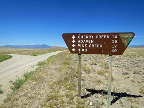 Directional sign at 3-way road intersection (view W) |
 Directional sign at 3-way road intersection (view W) |
 East side of the triangular intersection (view W) |
 Continuing on Timber Mountain Road (view W) |
 Approaching west side of the triangular intersection (view W) |
 Timber Mtn Pass Rd ends at this point of the intersection (view W) |
Table 1. Highway Coordinates and Distances based on GPS Data (NAD27). Download highway GPS waypoints (gpx) file.
| Wpt. | Location | Latitude (N) | Longitude (W) | Elevation (ft) | Point-to-Point Distance (mi) | Cumulative Distance (mi) |
|---|---|---|---|---|---|---|
| 1588 | Hwy 318 at Timber Pass Rd | 675302 | 4224661 | 1,641 | 0.00 | 00.00 |
| 1934 | Timber Pass Road at Timber Pass Corral | 663959 | 4216637 | 1,851 | 9.10 | 09.10 |
| 1588 | Hwy 318 at Timber Pass Rd | 675302 | 4224661 | 1,641 | 6.20 | 15.30 |
| 1611 | Timber Pass Rd at Coal Valley N Rd | 643903 | 4211981 | 1,540 | 6.70 | 22.00 |
| 1560 | Seaman Rd at Cherry Creek Rd | 642553 | 4211545 | 1,545 | 0.90 | 22.90 |
Happy Hiking! All distances, elevations, and other facts are approximate.
![]() ; Last updated 240324
; Last updated 240324
| Basin and Range | Backroads | Hiking Around Las Vegas | Glossary | Copyright, Conditions, Disclaimer | Home |