Backroads Around Las Vegas, Red Rock Canyon National Conservation Area
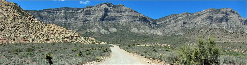
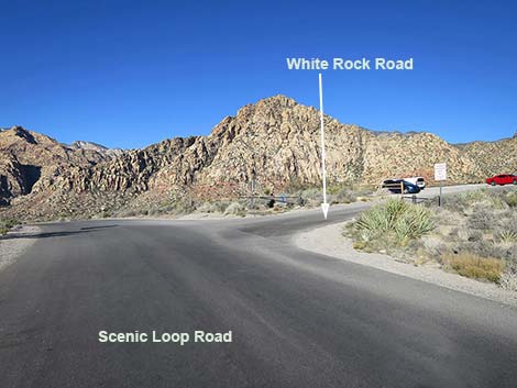
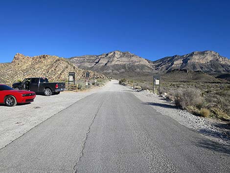
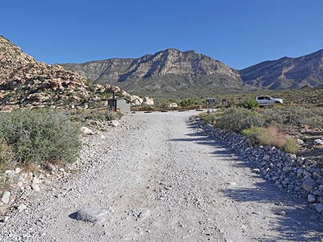
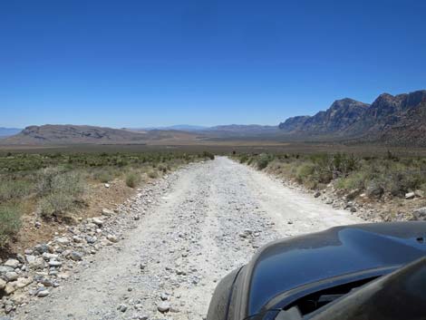
 Scenic Loop Road approaching White Rock trailhead sign (view SW) |
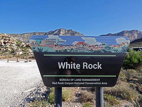
Overview White Rock Road is a dirt spur-road in Red Rock Canyon National Conservation Area that connects the Scenic Loop Road with the Lower White Rock Trailhead (just off the highway) and the Upper White Rock Trailhead, which is at the southeast toe of the White Rock Hills and a few minutes walk from White Rock Spring. The road is about 0.6 miles long and fairly rough, but suitable for carefully driven sedans. White Rock Road provides access to the La Madre Mountain Wilderness Area, numerous hikes, some good birdwatching, and lots of grand scenery with a variety of desert vegetation types. Link to Road Map. |
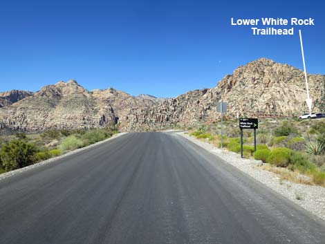
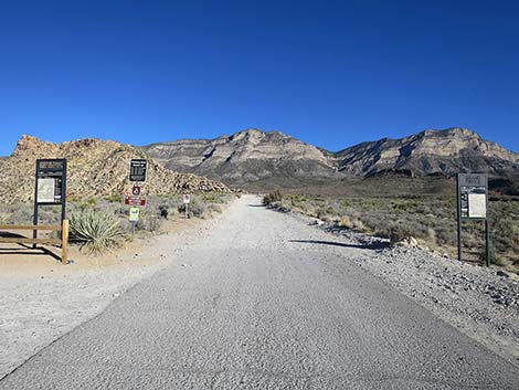
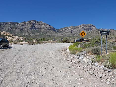
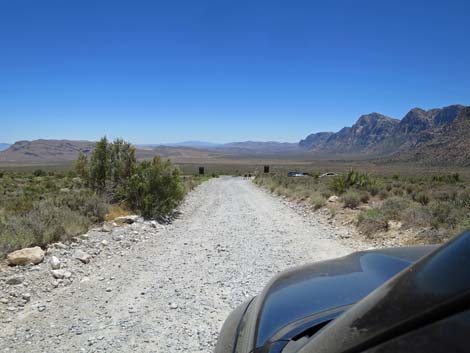
 Scenic Loop Road at White Rock trailhead sign (view SW) |
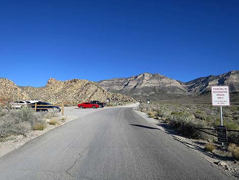
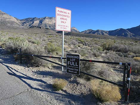
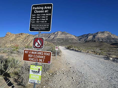
Watch Out Other than the standard warnings about driving in the desert, ...this is a fairly safe drive except that careless drivers could scrape the bottom of their car on rocks. Drive slowly and avoid the bigger rocks. While out, please respect the land and the other people out there, and try to Leave No Trace of your passage. If the parking lot is full, drive on and plan to come back some other time; don't flatten more vegetation with your car. Also, even though this road is short, be sure to bring what you need of the 10 Hiking Essentials. Getting to White Rock Road From Las Vegas, drive out West Charleston Blvd to Red Rock Canyon National Conservation Area. Pay the fee and drive 6.1 miles around the Scenic Loop Road to White Rock Road, on the right. |
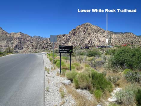
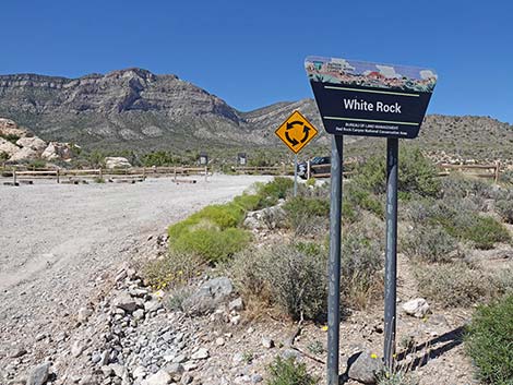
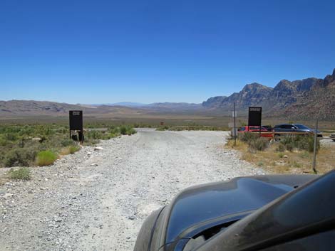
 White Rock trailhead sign (view SW) |
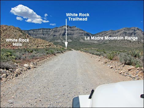
The Road From the Scenic Loop Road (Table 1, Site 0525), White Rock Road turns right. The first few yards are paved, and drivers who want to stay off the bumpy dirt road can use the Lower White Rock Trailhead parking area on the left and walk up the road. White Rock Road is bumpy, but careful driving avoids the worst of the rocks. The road runs north with grand views of the White Rock Hills on the left and the La Madre Mountain Range in the background. Vegetation in this area is typical of higher-elevation Mojave Desert Scrub as it grades into the Pinyon-Juniper Woodland. Here, the dominant shrub species is Blackbrush, with a nice sprinkling of Mojave Yucca and few other shrubs. White Rock Road runs north for 0.6 miles to Upper White Rock Trailhead, which serves several hiking trails. A nice, short walk goes down and west to White Rock Spring. |
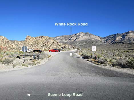
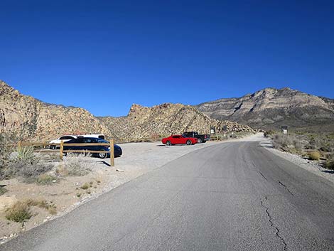
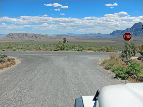
 Scenic Loop Road at White Rock Road (view W) |
 White Rock Road (view N from Scenic Loop Road) |
 White Rock Road (view N) |
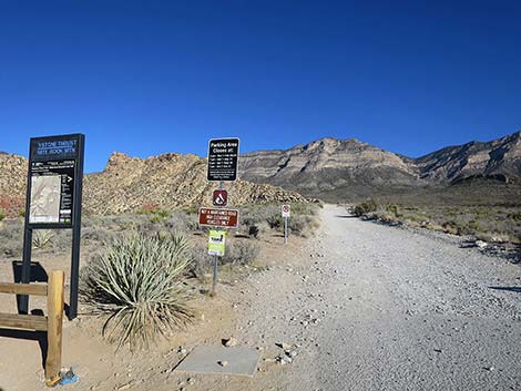
 Gate and information signs (view NE) |
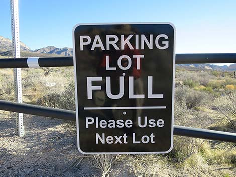 The gate is closed with the parking areas are full (view NE) |
 White Rock Road approaching Lower Trailhead parking area (view N) |
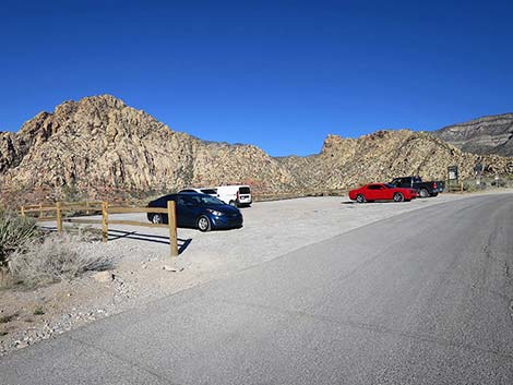 White Rock Road at Lower Trailhead parking area (view N) |
 Lower White Rock Trailhead (view N) |
 White Rock Road continues past the Lower Trailhead (view N) |
 White Rock Road trailhead signs (view N) |
 White Rock Road departing the Lower Trailhead parking (view N) |
 Information signs (view N) |
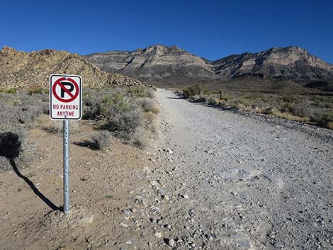 Be careful: no parking along the road (view N) |
 Even nice looking parking areas are now illegal (view E) |
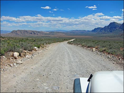
 White Rock Road (view N) |
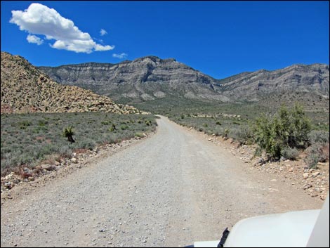 White Rock Road (view N) |
 White Rock Road (view N) |
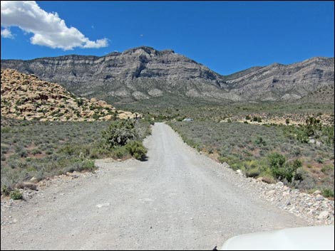
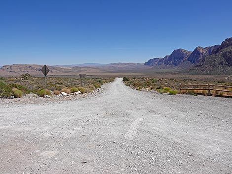
 Approaching the end of White Rock Road (view N) |
 Approaching the end of White Rock Road (view N) |
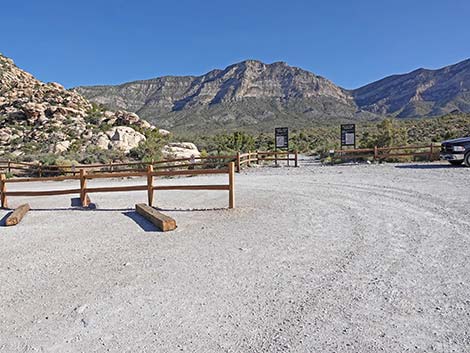
 Approaching the loop at the end of White Rock Road (view N) |
 White Rock Road at White Rock Trailhead sign (view N) |
 White Rock Trailhead sign (view N) |
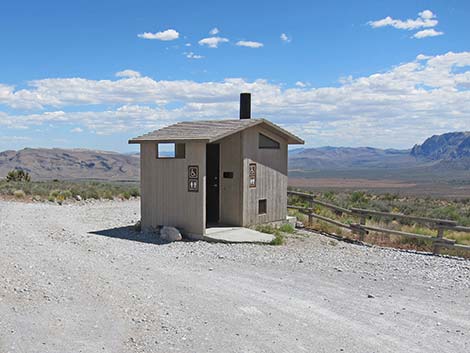
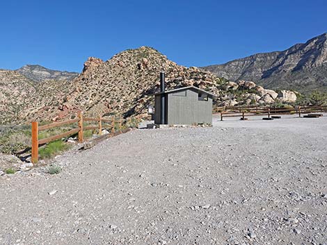 Looking left towards trailhead vault toilet (view NW) |
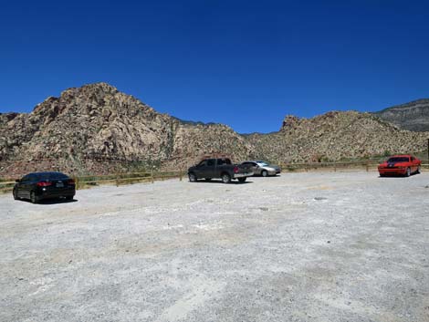
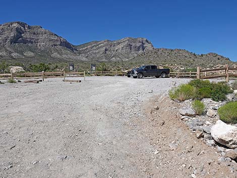 Staying right into the White Rock Trailhead parking area (view NE) |
 Looping through the trailhead parking area (view N) |
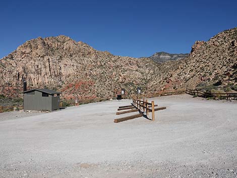 Top of the loop at White Rock Trailhead parking (view W) |
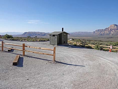 Road loops out past the vault toilet (view SE) |
 Passing the outhouse (view SE) |
Returning Down White Rock Road
 Departing White Rock Trailhead parking (view S) |
 Starting down White Rock Road (view S) |
 White Rock Road (view S) |
 White Rock Road approaching Lower White Rock Trailhead (view S) |
 White Rock Road at Lower White Rock Trailhead (view S) |
 White Rock Road approaching Scenic Loop Road at (view S) |
Table 1. Highway Coordinates based on GPS data (NAD27; UTM Zone 11S). Download Highway GPS Waypoints (*.gpx) file.
| Site | Location | UTM Easting | UTM Northing | Latitude (N) | Longitude (W) | Elevation (ft) | Verified |
|---|---|---|---|---|---|---|---|
| 0525 | Scenic Loop Rd at White Rock Rd | 637238 | 4003239 | 36.16600 | 115.47418 | 4,664 | Yes |
| 0404 | White Rock Springs Trailhead | 636974 | 4004062 | 36.17346 | 115.47697 | 4,859 | Yes |
Happy Hiking! All distances, elevations, and other facts are approximate.
![]() ; Last updated 250705
; Last updated 250705
| Backroads | Hiking Around Las Vegas | Glossary | Copyright, Conditions, Disclaimer | Home |