
Southern Nevada Wilderness Areas, Hiking the Wilderness Areas

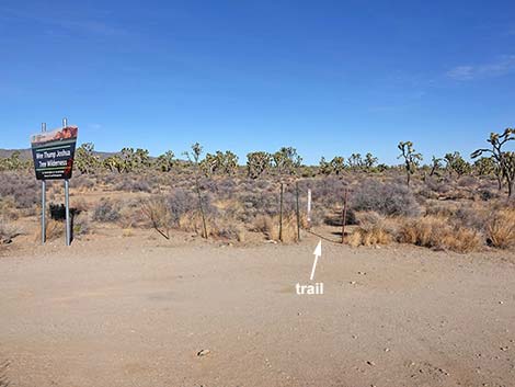 Spirit of Wilderness Trailhead parking area (view NE) |
Overview The El Dorado Wagon Road Trail is a 3.0-mile one-way hike following an old wagon road that once connected Nipton to Searchlight. The trail parallels Highway 164 at a respectable distance as it runs through a forest of Joshua Trees on nearly level terrain in the Wee Thump Joshua Tree Wilderness Area. Parts of the trail are easy to follow, but other parts are overgrown with shrubs and bunchgrasses, making route-finding a bit challenging. Because this trail follows the trace of an old wagon road, it generally runs straight, so when the trail is faint, hikers should assume that it continues straight from the last more-obvious bit of trail. Link to map. |
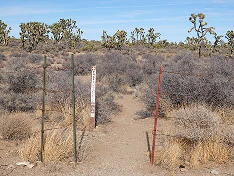 Adjacent to trailhead sign, the trail goes though the fence (view N) |
This is a point-to-point trail that runs between two trailheads. As such, hikers can walk in either direction, but here the trail is described as running eastward. With two vehicles, hikers can walk the trail point-to-point. Otherwise, hikers can walk all the way out and back, making a 6-mile route, or just walk part-way out, turn around, and walk back making for a shorter route. The El Dorado Wagon Road Trail sits in the Upper Sonoran (Mojave Desert Scrub) life zone, which generally is characterized by Joshua trees mixed with creosote bush and lots of other shrub species, plus wildflowers in the spring. Near the trailhead, Blackbrush, Yucca species (Joshua trees, Mojave Yucca, and Banana Yucca), and cactus are common. Watch for Buckhorn Cholla and Beavertail Pricklypear, which are fairly common. Silver Cholla, Brown-spined Pricklypear, Matted Cholla, and Engelmann's Hedgehog Cactus are uncommon here, and Searchlight Pricklypear is rare. |
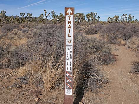 The trail goes this way (view N) |
Farther out, however, the soils changes and the understory is mainly composed of bunchgrass species. There are 12 species of grasses in this area. Big Galleta, Bush Muhly, and Fluffgrass are most common, and fortunately, there are few invasive grasses. This Mojave Desert grass community was common before ranchers arrived in the 1880s, but now it is rare. Keep an eye out for Curve-billed Thrashers and Gilded Flickers, in Nevada found only in this area. More common bird species include Common Raven, Loggerhead Shrike, Northern Flickers, and Ladder-backed Woodpeckers. Mojave Rattlesnakes also occur here, so keep an eye and ear out in the dense bunchgrass. |
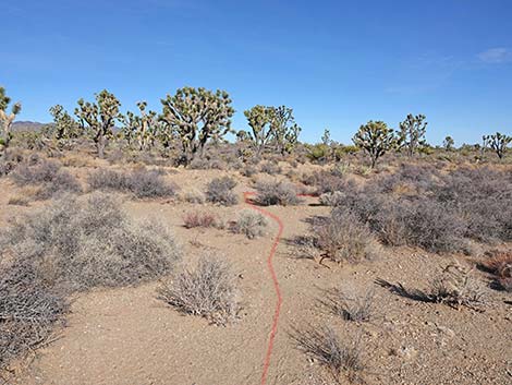 Trail runs across the wash (view N) |
Watch Out Other than the standard warnings about hiking in the desert, ... this is a fairly safe hike. There are many cactus and other things with sharp points, so be careful walking around. While hiking, please respect the land and the other people out there, and try to Leave No Trace of your passage. This hike goes into Wilderness, so pay particular attention to respecting the land. This hike is fairly long, so be sure to bring the 10 Essentials. Cell phones might work, but don't count on it. Hikers in serious trouble can walk south to the highway. This is a nice, easy trail in a scenic area, but louder vehicles on the highway can be heard, so it isn't the purest of wilderness experiences. |
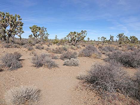 Approaching berm, trail turns right (view NE) |
Getting to the Trailhead This hike is located in the Wee Thump Joshua Tree Wilderness Area, about 1 hour south of Las Vegas, just west of Searchlight. From town, drive south on Highway 95 to Searchlight. In downtown Searchlight, turn right onto Highway 164 (Joshua Tree Highway) and drive west for 11.1 miles to Spirit of Wilderness Road. Turn right and follow the road about 100 yards to the turn-around loop at the end. Park here; this is the Spirit of Wilderness Trailhead. Alternatively, hikers might drive south on I-15 into California. Exit onto Nipton Road and drive east about 20 miles, passing through Nipton and back into Nevada. Continue over the mountains and down to the Spirit of Wilderness Trailhead. |
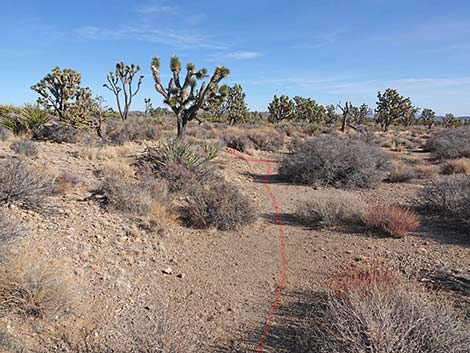 Trail follows berm 35 ft (view E) |
The Hike From the trailhead (Table 1, Waypoint 09), the trail squeezes through a gap in the highway fence and heads north across a broad wash. The use-trail is faint and obscured by hikers wandering in different directions in the wash, but for the Wagon Road Trail, hikers should walk straight across the wash (60 yards) to the 3-ft high wash-bank on the far side. Staying in the wash below the berm, the trail turns right and runs east (10 yards) until the trail turns up the bank and onto the higher ground beyond. The trail up the bank is visible from the trailhead, but it is hard to see; it is, however, just a bit right of straight across the wash, so don't go too far east looking for it. The trail climbs straight up the wash bank, then continues heading due north, but for the first few yards, it remains faint as it winds between Blackbrush and Buckhorn Cholla. Before long, however, a well-defined trail becomes apparent. |
 Trail climbs out of the wash onto higher ground (view N) |
At about 140 yards out, the trail reaches the trace of the old El Dorado Wagon Road (Wpt 08), which is marked with two carsonite trail signs. In this stony soil covered with Blackbrush, the old road is quite obvious because the Blackbrush is slow growing, and the soils don't support stands of Bunchgrass. Here (Wpt 08), the trail turns east to follow the trace of the wagon road. At about 0.43 miles out, the trail starts into a shallow, somewhat rocky gully, and arrives at the edge of a wash (Wpt. 07) where the trail ahead is invisible. Because the trail follows the trace of an old road, and because roads tend to go straight (at least for short distances), hikers should assume that the trail goes straight ahead crossing the wash at an oblique angle. Going straight ahead from the end of the shallow gully, the trail crosses the wash (Wpt. 06) just left of a large Joshua Tree and quickly emerges onto an obvious bit of trail. Leaving the first wash crossing, the soils change. Here, there are fewer rocks, and the less-rocky soils favor bunchgrasses over shrubs, certainly over Blackbrush. |
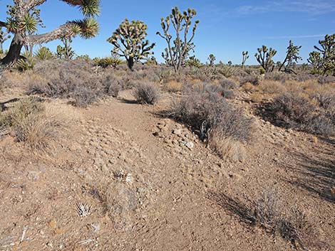 Trail climbs out of the wash onto higher ground (view N) |
Just ahead, the trail approaches a wash and same thing happens again: the old wagon road crosses a wash (Wpt. 05) at an oblique angle where the trail into the wash and out the other side are invisible because of the dense bunchgrass. Here, hikers are in danger of turning down the wash, but the trail continues in a straight line across the wash. As before, hikers continuing straight soon find the trace of the old road. In this area, and for the next mile or so, the trail is faint, and hikers need to pay close attention to the more obvious parts and continue hiking straight through the bunchgrasses to find the next more-obvious section. Perhaps in time enough hikers will use this trail to beat in an obvious trail, but for now the trail requires some route finding. This is Wilderness, however, so some little challenge is warranted. |
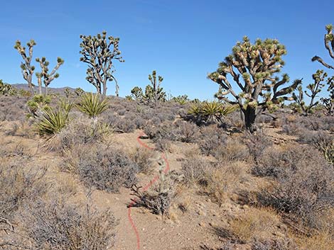 Initially, the trail is obscure (view N) |
By most of 2 miles out, the trail generally becomes easier to follow, and at about 2.18 miles out, hikers encounter the first nice sitting log (Wpt. 04) for the entire hike. This downed Joshua Tree makes a nice place to sit, rest, and experience the silence of Wilderness. Continuing west, hikers will enjoy the easier walking, and at about 2.72 miles out, the trail passes a second nice sitting log (Wpt. 03). At about 2.95 miles out, the trail passes a third nice sitting log (Wpt. 02), which is the last place to sit and relax before exiting the wilderness. Soon thereafter, hikers see the backside of the trailhead sign (Wpt. 01) and emerge onto the Wagon Road Trailhead, finishing the hike for those with two vehicles. Otherwise, it's a place to rest up before turning around and walking back to the Spirit of Wilderness Trailhead. |
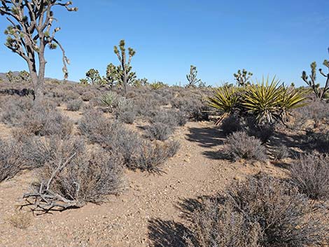 Trail becomes more apparent (view N) |
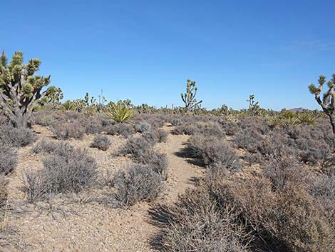 Trail becomes obvious (view N) |
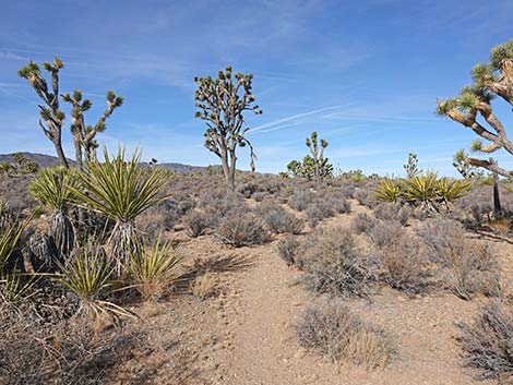 Trail becomes obvious (view N) |
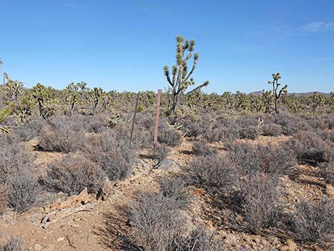 Trail approaching bend with two carsonite signs (view NE) |
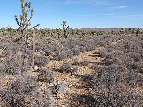 Trail at bend with two carsonite signs (view NE) |
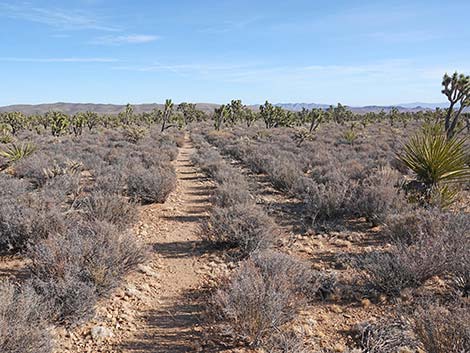 Trail follows old wagon road through Blackbrush (view ENE) |
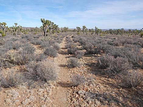 Trail follows old wagon road through Blackbrush (view ENE) |
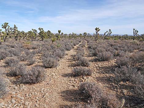 Trail follows old wagon road through Blackbrush (view E) |
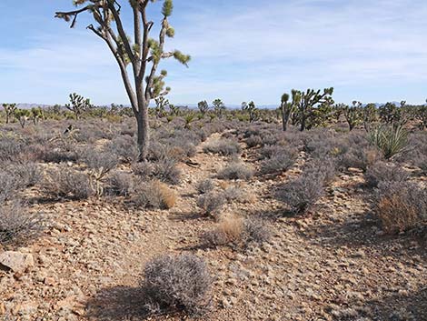 Trail follows old wagon road through Blackbrush (view E) |
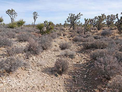 Trail begins to descend into a "rocky" gully (view SE) |
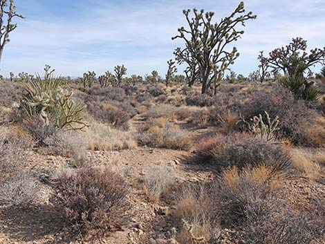 Approaching wash, trail ahead is invisible - go straight (view SE) |
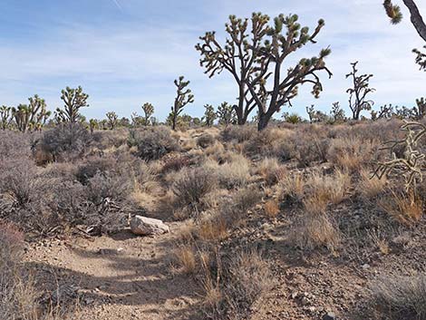 Crossing the wash, the trail continues straight across (view SE) |
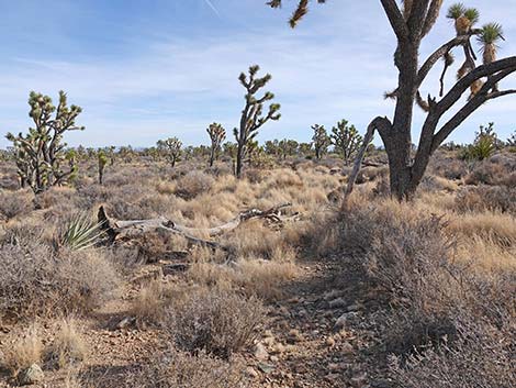 Trail climbing out of the wash (view SE) |
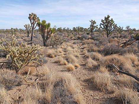 Just past the wash, a bit of obvious trail (view SE) |
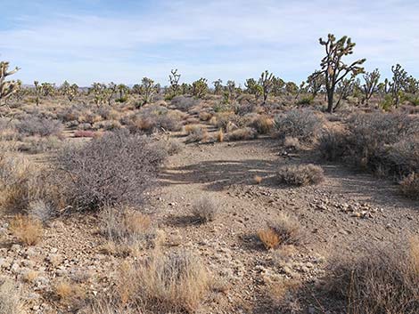 Approaching second wash, trail is invisible - go straight (view E) |
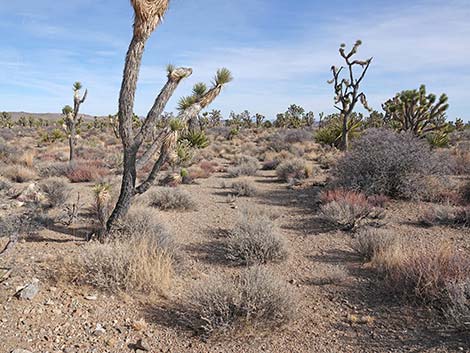 Just past the second wash, another bit of obvious trail (view E) |
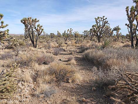 In this area, some parts of the trail are easy to follow |
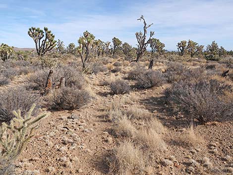 Also in this area, some parts of the trail are harder to follow |
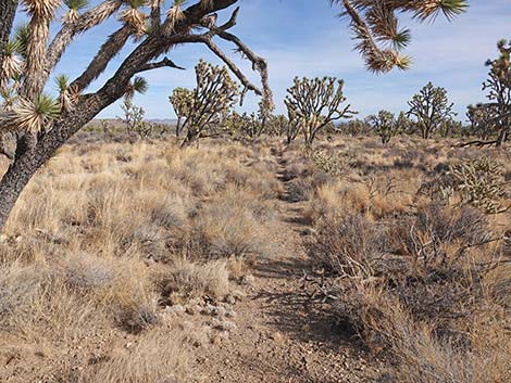 Faint trail (view E) |
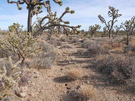 Faint trail (view E) |
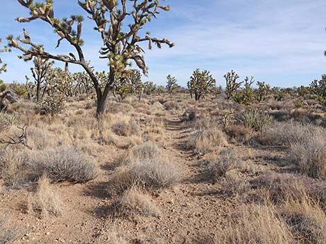 More obvious trail (view E) |
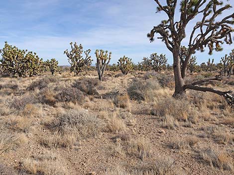 Faint trail (view E) |
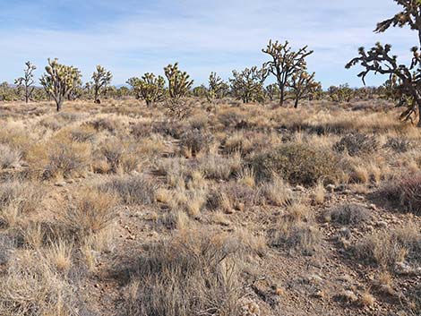 Faint trail (view E) |
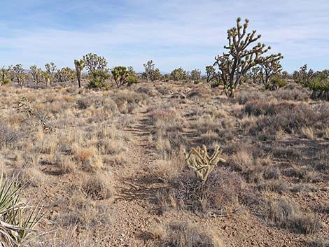 More obvious trail (view E) |
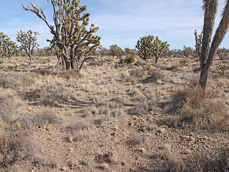 More obvious trail (view E) |
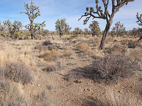 More obvious trail (view NE) |
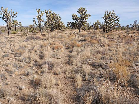 Faint trail (view E) |
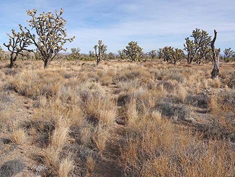 Faint trail (view E) |
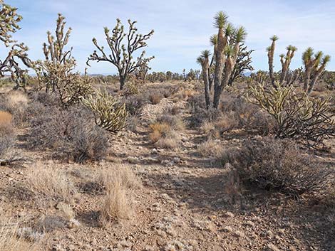 More obvious trail (view SE) |
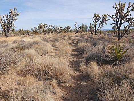 More obvious trail (view SE) |
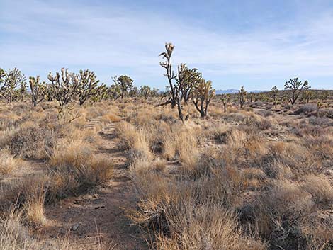 In the distance, Spirit Mountain comes into view (view SE) |
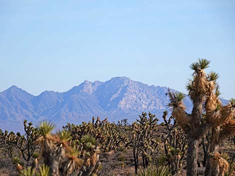 Avi Kwa Ame, Spirit Mountain, comes into view (view SE; zoom) |
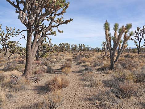 More obvious trail (view SE) |
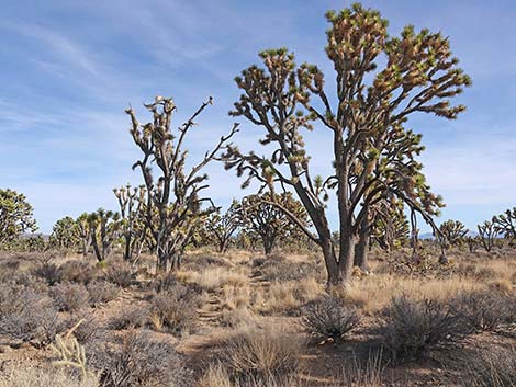 Faint trail (view SE) |
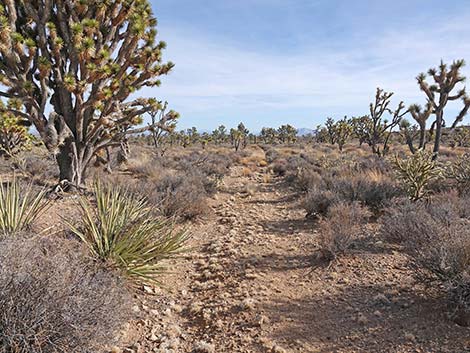 Easy trail (view SE) |
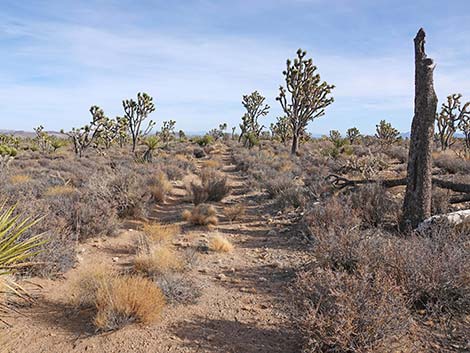 Easy trail (view SE) |
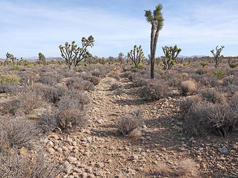 Easy trail (view SE) |
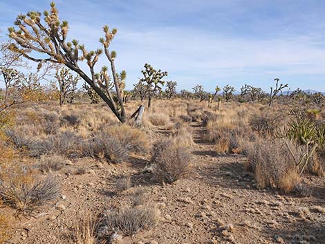 Easy trail (view SE) |
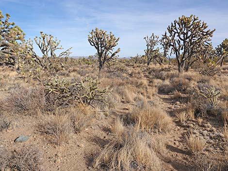 Easy trail (view NE) |
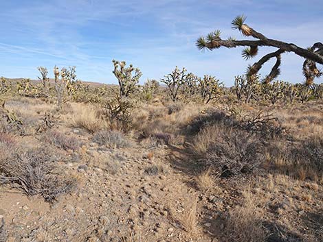 Easy trail (view NE) |
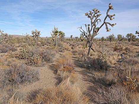 Easy trail (view NE) |
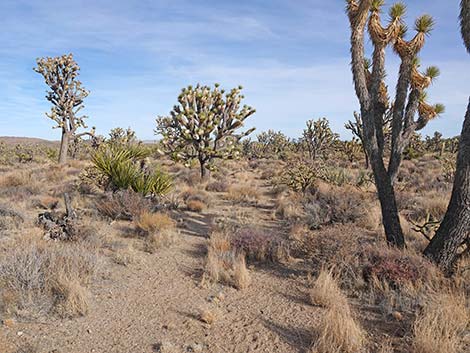 Fairly easy trail (view NE) |
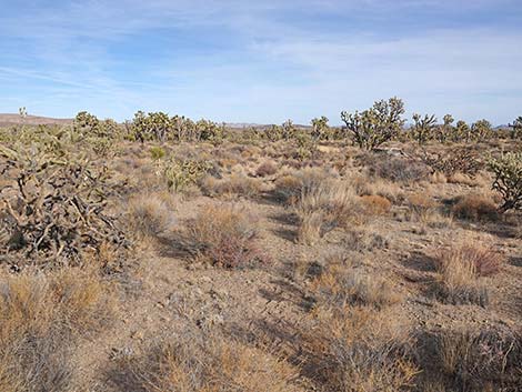 Fairly easy trail (view NE) |
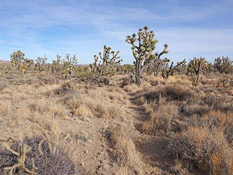 Easy trail (view NE) |
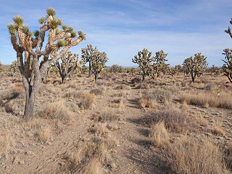 More obvious trail (view E) |
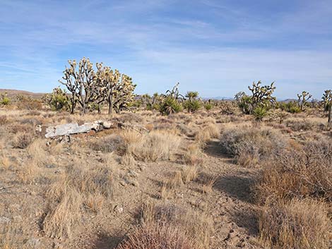 Approaching Sitting Log #3 (view E) |
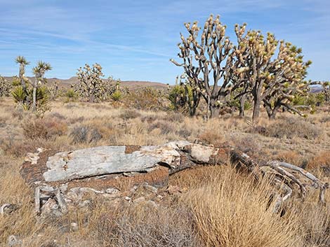 Sitting Log #3 (view N from the trail) |
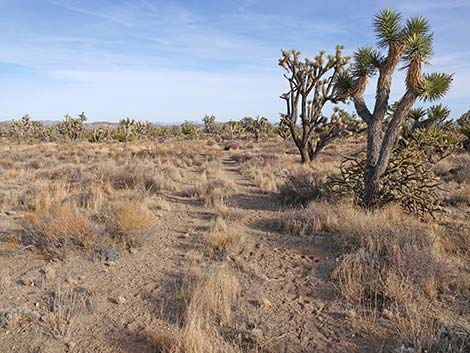 Obvious trail continues past the sitting log (view E) |
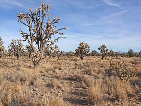 Easy trail (view SE) |
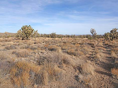 Easy trail (view SE) |
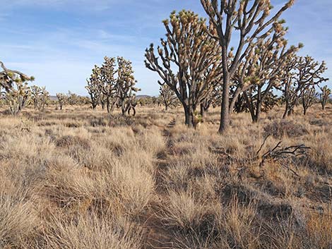 Easy trail (view SE) |
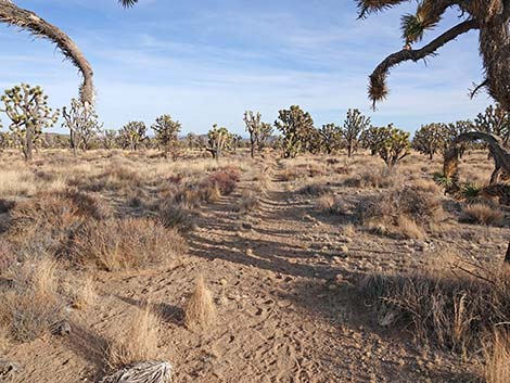 Easy trail (view SE) |
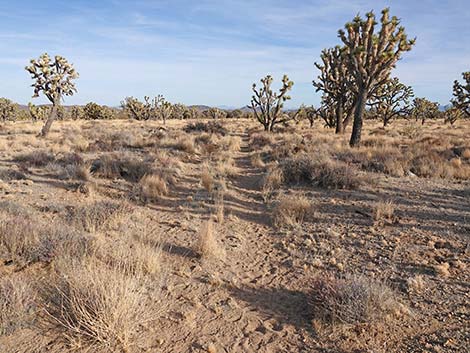 Easy trail (view SE) |
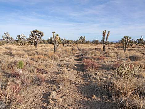 Easy trail (view SE) |
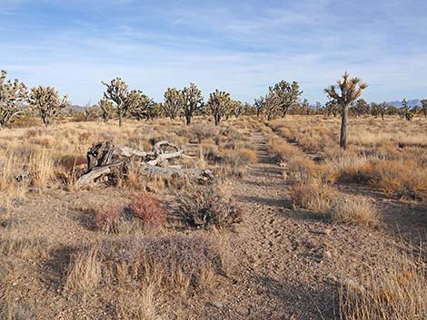 Trail approaching Sitting Log #2 (view SE) |
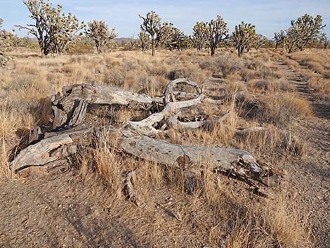 Second sitting log (view N from the trail) |
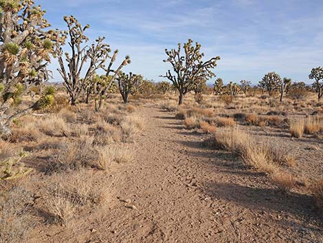 Trail continues past the sitting log (view SE) |
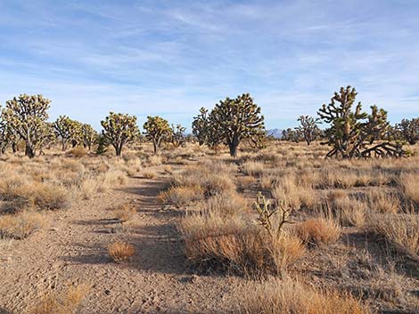 Another view of Avi Kwa Ame through the Joshua Trees (view SE) |
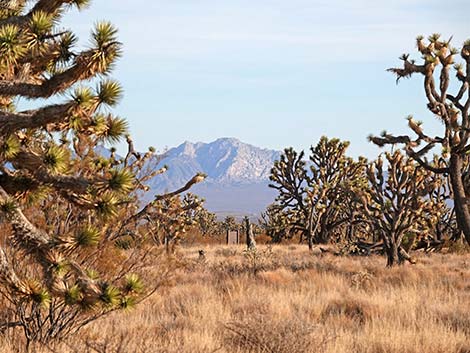 Another view of Avi Kwa Ame (view SE; zoom) |
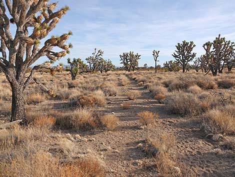 Obvious trail (view SSE) |
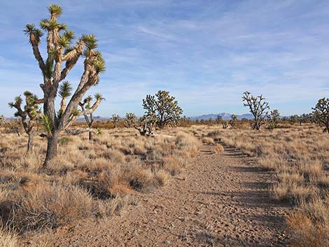 Obvious trail (view SSE) |
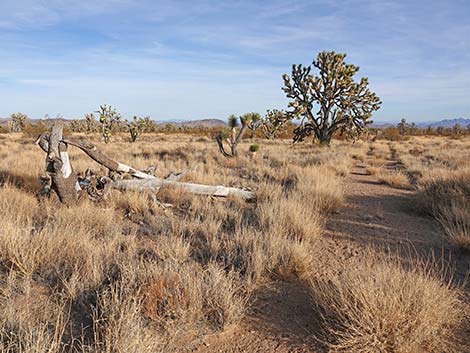 Trail approaching Sitting Log #1 (view SSE) |
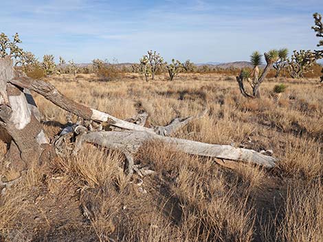 Sitting Log #1 (view NE from the trail) |
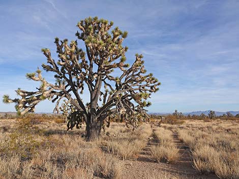 One of the largest Joshua Trees along the trail (view SE) |
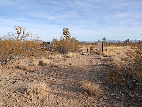 Trail approaching the trailhead (view SE) |
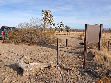 Trail arriving at the Wagon Road Trailhead (view SE) |
Table 1. Hiking Coordinates Based on GPS Data (NAD27; UTM Zone 11S). Download Hiking GPS Waypoints (*.gpx) file.
| Wpt. | Location | UTM Easting | UTM Northing | Elevation (ft) | Point-to-Point Distance (mi) | Cumulative Distance (mi) |
|---|---|---|---|---|---|---|
| 09 | Spirit of Wilderness Trailhead | 671915 | 3931600 | 4,568 | 0.00 | 0.00 |
| 08 | Turn off Wagon Road | 671913 | 3931724 | 4,566 | 0.08 | 0.08 |
| 07 | Wash West Side | 672431 | 3931859 | 4,509 | 0.35 | 0.43 |
| 06 | Wash East Side | 672451 | 3931852 | 4,512 | 0.01 | 0.44 |
| 05 | Wash Crossing | 672487 | 3931838 | 4,506 | 0.01 | 0.45 |
| 04 | Joshua Tree Log #3 | 675119 | 3931910 | 4,284 | 1.73 | 2.18 |
| 03 | Joshua Tree Log #2 | 675973 | 3931778 | 4,198 | 0.54 | 2.72 |
| 02 | Joshua Tree Log #1 | 676286 | 3931611 | 4,169 | 0.23 | 2.95 |
| 01 | Wagon Road Trailhead | 676362 | 3931571 | 4,160 | 0.05 | 3.00 |
Happy Hiking! All distances, elevations, and other facts are approximate.
![]() ; Last updated 250126
; Last updated 250126
| Hiking Around Wilderness Areas | Hiking Around Las Vegas | Glossary | Copyright, Conditions, Disclaimer | Home |